Old Maps of Laclede County, Missouri
Explore 64 old maps of Laclede County, spanning from 1931 to today. These high-resolution historic maps reveal how streets, neighborhoods, landmarks, and natural features evolved over time — perfect for genealogy, metal detecting, research, and local history exploration.
What you can do with these maps:
- See how Laclede County changed over time: Compare historical maps to modern-day views to trace roads, homesites, rail lines & more.
- View detailed metadata: Each map includes creators, publishers, year, scale, and archive source.
- Overlay maps with satellite & LiDAR: Visualize the past alongside modern tools to explore terrain & human change.
- Trusted historical sources: Maps sourced from the USGS, Library of Congress, and other archives.
- Access maps your way: View online, download high-res files, or order prints for personal or research use.
Start exploring old maps of Laclede County to uncover forgotten places, hidden landmarks, and the deep history beneath your feet.
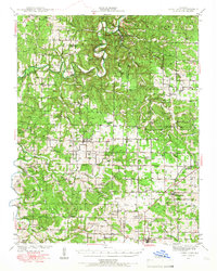
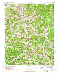
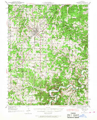
Laclede County, MO maps
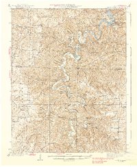
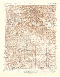
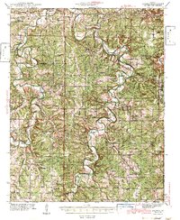
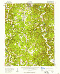
(64)- 1931 Map of Manes
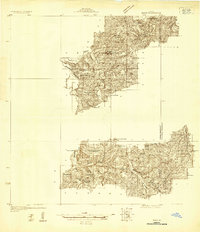 1931 Manes1931 Print · USGSCovers Laclede County, including Lynchburg, Maines, and other nearby areas
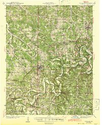
 - 1933 Map of Stoutland, 1962 Print
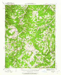 1933 Stoutland1962 Print · USGSCovers Laclede County, including Camdenton, Decaturville, and other nearby areas2 unique versions available
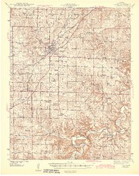
 - 1934 Map of Macks Creek
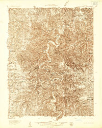 1934 Macks Creek1934 Print · USGSCovers Laclede County, including Camdenton, Macks Creek, and other nearby areas4 unique versions available
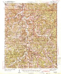
 - 1938 Map of Stoutland
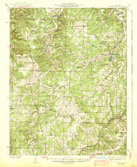 1938 Stoutland1938 Print · USGSCovers Laclede County, including Camdenton, Decaturville, and other nearby areas
 - 1939 Map of Macks Creek
 1939 Macks Creek1939 Print · USGSCovers Laclede County, including Camdenton, Macks Creek, and other nearby areas2 unique versions available
 - 1939 Map of Long Lane, 1966 Print
 1939 Long Lane1966 Print · USGSCovers Laclede County, including Conway, Phillipsburg, and other nearby areas
 - 1941 Map of Big Piney
 1941 Big Piney1941 Print · USGSCovers Laclede County, including Plato, Palace, and other nearby areas
 - 1941 Map of Manes, 1965 Print
 1941 Manes1965 Print · USGSCovers Laclede County, including Lynchburg, Maines, and other nearby areas2 unique versions available
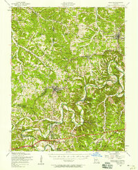
 - 1941 Map of Lebanon, 1968 Print
 1941 Lebanon1968 Print · USGSCovers Laclede County, including Lebanon, Evergreen, and other nearby areas
 - 1942 Map of Long Lane
 1942 Long Lane1942 Print · USGSCovers Laclede County, including Conway, Phillipsburg, and other nearby areas3 unique versions available
 - 1943 Map of Richland
 1943 Richland1943 Print · USGSCovers Laclede County, including Waynesville, Richland, and other nearby areas
 - 1943 Map of Lebanon
 1943 Lebanon1943 Print · USGSCovers Laclede County, including Lebanon, Evergreen, and other nearby areas2 unique versions available
 - 1943 Map of Big Piney
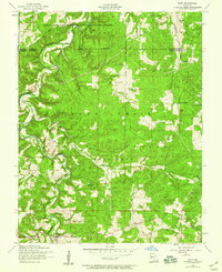
 1943 Big Piney1943 Print · USGSCovers Laclede County, including Plato, Palace, and other nearby areas2 unique versions available
 - 1943 Map of Manes
 1943 Manes1943 Print · USGSCovers Laclede County, including Lynchburg, Maines, and other nearby areas3 unique versions available
 - 1943 Map of Drynob
 1943 Drynob1943 Print · USGSCovers Laclede County, including Abo, Clark Ford, and other nearby areas3 unique versions available
 - 1946 Map of Niangua, 1966 Print
 1946 Niangua1966 Print · USGSCovers Laclede County, including Marshfield, Conway, and other nearby areas
 - 1948 Map of Niangua
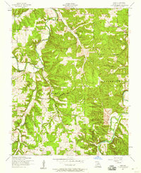
 1948 Niangua1948 Print · USGSCovers Laclede County, including Marshfield, Conway, and other nearby areas2 unique versions available
 - 1954 Map of Springfield
 1954 Springfield1954 Print · USGSCovers Laclede County, including Springfield, Nixa, and other nearby areas6 unique versions available
 - 1954 Map of Drynob, 1958 Print
 1954 Drynob1958 Print · USGSCovers Laclede County, including Abo, Clark Ford, and other nearby areas2 unique versions available
 - 1954 Map of Big Piney, 1958 Print
 1954 Big Piney1958 Print · USGSCovers Laclede County, including Plato, Palace, and other nearby areas3 unique versions available
 - 1954 Map of Richland, 1958 Print
 1954 Richland1958 Print · USGSCovers Laclede County, including Waynesville, Richland, and other nearby areas2 unique versions available
 - 1954 Map of Drew, 1959 Print
 1954 Drew1959 Print · USGSCovers Laclede County, including Clark Ford, Jacksonville, and other nearby areas2 unique versions available
 - 1954 Map of Roby, 1959 Print
 1954 Roby1959 Print · USGSCovers Laclede County, including Plato, Palace, and other nearby areas3 unique versions available
 - 1954 Map of Winnipeg, 1959 Print
 1954 Winnipeg1959 Print · USGSCovers Laclede County, including Casey Ford, Saint Annie, and other nearby areas2 unique versions available
 - 1954 Map of Richland, 1959 Print
 1954 Richland1959 Print · USGSCovers Laclede County, including Richland, Hazelgreen, and other nearby areas2 unique versions available
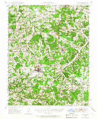
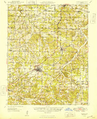
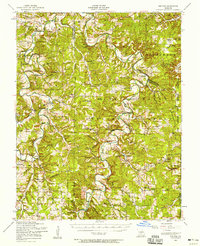
Showing maps 1-25 of 64
Top cities of Laclede County
- Lebanon historical maps
- Conway historical maps
- Phillipsburg historical maps
- Evergreen historical maps
- Caffeyville historical maps
Frequently asked questions
- What are the different types of historical maps available for Laclede County?
- What is the oldest map of Laclede County?
- Where can I purchase historical maps of Laclede County for my home or office?
- Where can I download high-res historical maps of Laclede County?
- Are there historical topographic maps available for Laclede County?
- Is there historical aerial imagery available for Laclede County?
- Where are historical maps of Laclede County sourced from?