2000s (21st Century) Maps of Laclede County, Missouri
Explore 104 historic maps of Laclede County from the 2000s (21st Century). These maps offer a rare glimpse into what life looked like during the 2000s — showing old roads, neighborhoods, homes, and landmarks that have changed or disappeared over time.
Whether you're researching your family's past, planning a metal detecting trip, or studying how Laclede County's landscape evolved across the 2000s, these high-resolution maps are a powerful tool for exploring the history of this region.
- Focus on a specific era: All maps on this page are from the 2000s, giving you a focused view of this time period.
- See what’s changed: Compare century-old streets, trails, and buildings to today's modern landscape using overlays and satellite layers.
- Research with precision: Use these maps for genealogy, historical research, land use analysis, or educational projects.
- View, download, or print: Maps are fully viewable online in high resolution, and can be downloaded or printed for your own records.
Start exploring Laclede County's history through authentic maps from the 2000s. This is your window into the past.
Laclede County, MO maps
(104)- 2004 Map of Bloodland, 2006 Print
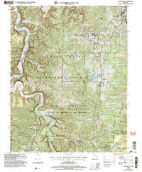 2004 Bloodland2006 Print · USGSPulaski County at the start of the millennium shows the intersection of the Mark Twain National Forest and expanding military grounds. Genealogists can locate family burial sites like Clark Cem and the former locations of Bloodland (Site) and Cookville (Site).
 - 2004 Map of Competition, 2006 Print
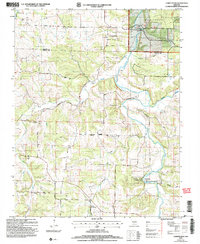 2004 Competition2006 Print · USGSWright and Laclede Counties at the start of the new millennium show a landscape where conservation lands and the national forest meet the winding Gasconade River. Genealogists and local historians can trace rural routes like Jerktail Drive and Odell Road to find old cemeteries and the small settlements of Competition and St George.
 - 2004 Map of Roby, 2006 Print
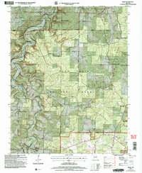 2004 Roby2006 Print · USGSTexas County at the start of the millennium shows the intersection of military training grounds and protected Ozark wilderness. Genealogists can locate family sites at Macedonia Cem or trace the early settlement footprints of Old Evening Shade and Plato.
 - 2004 Map of Drew, 2006 Print
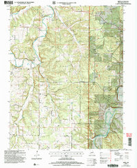 2004 Drew2006 Print · USGSThe rural uplands of Laclede County are captured here in the early 2000s, showcasing a landscape of isolated farmsteads and dense timber. Researchers can trace family history through numerous landmarks like Moots Store, Delta Sch, and the Hamilton Cem.
 - 2004 Map of Manes, 2006 Print
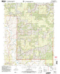 2004 Manes2006 Print · USGSWright and Laclede counties are shown here as they appeared in the early 2000s, centered on the wooded plateaus of the Missouri Ozarks. Researchers can locate the Lynchburg CCC Camp, old family cemeteries, and rural crossroads like Mingsville and Manes.
 - 2004 Map of Drynob, 2006 Print
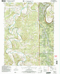 2004 Drynob2006 Print · USGSLaclede and Pulaski counties are shown at the start of the new millennium as the Ozark landscape balances forest conservation with deep-rooted rural settlements. Genealogists can locate family landmarks like Rippy Cem, Abo, and former school locations such as Oakland Sch.
 - 2004 Map of Winnipeg, 2006 Print
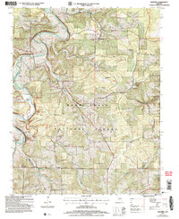 2004 Winnipeg2006 Print · USGSLaclede County at the turn of the millennium shows a landscape shaped by the Gasconade River and the sprawling Mark Twain National Forest. Genealogists and local historians can trace former community hubs through sites like Nebo Sch (Site) and the Winnipeg Cem.
 - 2004 Map of Brownfield, 2006 Print
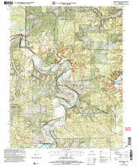 2004 Brownfield2006 Print · USGSOzark life in the early 2000s is centered here on the Gasconade River and the forested ridges of Pulaski County. Genealogists and historians can trace family ties through Brownfield Cemetery, Jackson Cemetery, and local landmarks like the Fairview School.
 - 2011 Map of Phillipsburg, 2011 Print
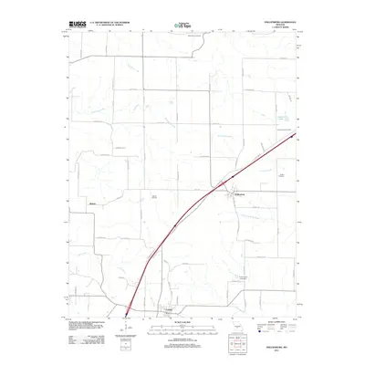 2011 Phillipsburg2011 Print · USGSPhillipsburg and the Conway area in the early twenty-first century show a landscape defined by transit corridors and family history. Researchers can trace rural lineages through sites like Rocky Knob Cemetery, Shanks Cemetery, and the quiet drainage of Dousinbury Creek.
 - 2011 Map of Decaturville, 2011 Print
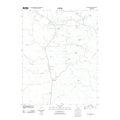 2011 Decaturville2011 Print · USGSCamden County's rolling hollows and family homesteads are meticulously documented in the early twenty-first century. Genealogists can locate several historic burial grounds, including Stone Cemetery and Darrow Cemetery, while tracing the landscape around Decaturville.
 - 2011 Map of Hahatonka, 2011 Print
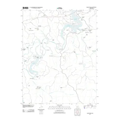 2011 Hahatonka2011 Print · USGSThe Missouri Ozarks are showcased here as the river-and-lake system evolved after the mid-century. Genealogists can trace family names across Union Electric and Lodge Cemetery, while exploring landmarks like the Hahatonka Natural Bridge and Tunnel Dam.
 - 2011 Map of Russ, 2011 Print
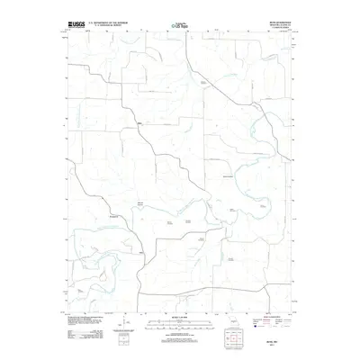 2011 Russ2011 Print · USGSLaclede County at the start of the 2010s is defined by its rural river valleys and generations of family homesteads. Researchers can trace local heritage through numerous burial grounds like Amos Cemetery and Fairview Cemetery near the banks of the Osage Fork Gasconade River.
 - 2011 Map of Stoutland, 2011 Print
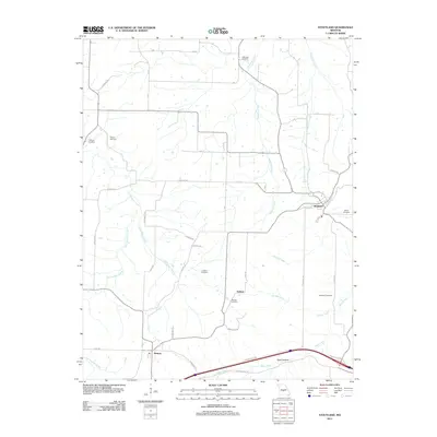 2011 Stoutland2011 Print · USGSStoutland and the Laclede County uplands are documented here in the early twenty-first century, showing a landscape shaped by creek valleys and rural homesteads. Genealogists can locate family landmarks like Hillhouse Cemetery, Barnett Cemetery, and the settlement of Delmar.
 - 2011 Map of Brush Creek, 2011 Print
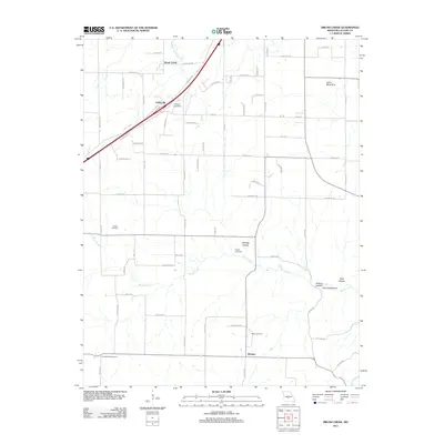 2011 Brush Creek2011 Print · USGSLaclede County's rural heartland is meticulously mapped here just after the turn of the millennium, showing a landscape defined by rolling hollows and small family settlements. Researchers can locate ancestral sites at Pisgah Cemetery or Builderback Cemetery and trace the winding paths of Goodwin Hollow Creek.
 - 2011 Map of Rader, 2011 Print
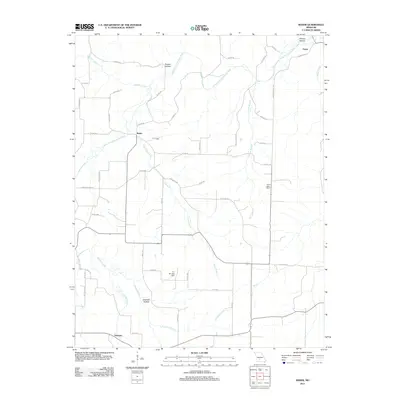 2011 Rader2011 Print · USGSLaclede County at the start of the 2010s is characterized by quiet rural settlements and the winding Osage Fork Gasconde River. Researchers can trace old family locations near Phillips Hollow or explore the geography around Pease, Rader, and Susanna.
 - 2011 Map of Grovespring, 2011 Print
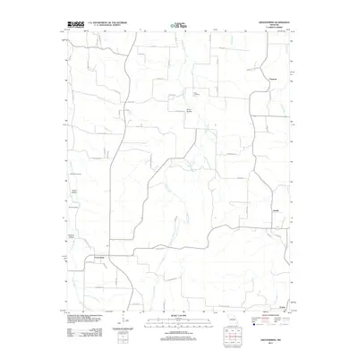 2011 Grovespring2011 Print · USGSSouthern Laclede County is documented in the early twenty-first century, showing the rural communities and hollows of the Ozarks. Researchers can find old burial sites like Bramhall Cemetery and trace the paths of Steins Creek past settlements at Grovespring and Origanna.
 - 2011 Map of Niangua, 2011 Print
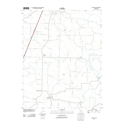 2011 Niangua2011 Print · USGSNiangua and the surrounding Missouri countryside are captured here in the early twenty-first century, showing a landscape of scattered family farms and quiet crossroads. Researchers can trace local genealogy through several historic sites including Tindle Cemetery and the Osage Fork Gasconade River crossings.
 - 2011 Map of Lebanon, 2011 Print
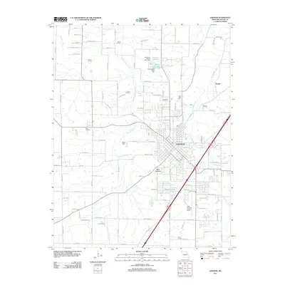 2011 Lebanon2011 Print · USGSLebanon and the surrounding Laclede County countryside are captured here in the early twenty-first century as the community grew around its central transit hubs. Genealogists and local historians can locate numerous family burial sites like Atchley Cemetery and Bolles Cemetery, or trace the path of Goodwin Hollow Creek.
 - 2011 Map of Montreal, 2011 Print
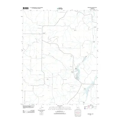 2011 Montreal2011 Print · USGSMontreal and the surrounding Missouri countryside are mapped here in the early twenty-first century, showcasing a rural landscape of winding creeks and family cemeteries. Genealogists can locate ancestors at Sharp Cemetery or Brown Cemetery and trace the drainage of Wet Glaize Creek.
 - 2011 Map of Oakland, 2011 Print
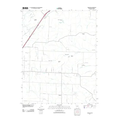 2011 Oakland2011 Print · USGSOakland and Carrol Junction are situated within a landscape of Ozark ridges and hollows in 2011. Genealogists and local historians can locate family burial grounds like Lillard Cemetery or trace the rural postal history at Ridgewood Post Office.
 - 2011 Map of Eldridge East, 2011 Print
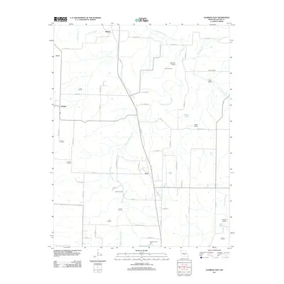 2011 Eldridge East2011 Print · USGSLaclede County in the early 2010s remains a landscape of traditional family-named landmarks and rural crossroads. Genealogists and local researchers can trace generations through a high concentration of burial sites, from Liberty Cemetery to Rogers Cemetery near Dove.
 - 2012 Map of Brownfield, 2012 Print
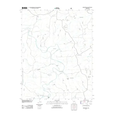 2012 Brownfield2012 Print · USGSThe Gasconade River valley in Laclede County is shown here in the early twenty-first century, before recent changes in rural land use. Genealogists and local historians can trace numerous family burial sites, including Cook Cemetery, and locate landmarks like the Fairview Lookout Tower.
 - 2012 Map of Richland, 2012 Print
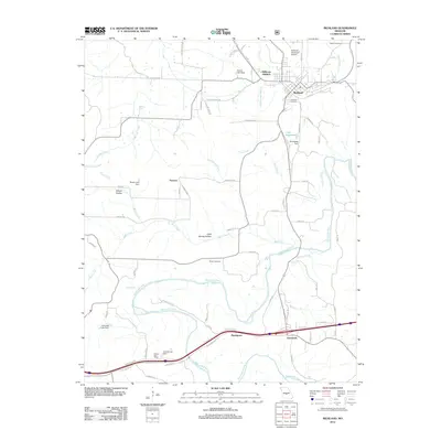 2012 Richland2012 Print · USGSRichland and the meandering Gasconade River valley are shown here in the early twenty-first century as the area continued to develop around its historical roots. Researchers can locate family sites at Oaklawn Cemetery or trace the rural landscape near Garnsey and Cave Spring Hollow.
 - 2012 Map of Bloodland, 2012 Print
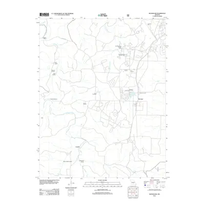 2012 Bloodland2012 Print · USGSPulaski County near the turn of the decade is documented here, showing a landscape of Ozark hollows and upland settlements. Researchers can trace family roots at Bloodland and McCann Cemetery, or locate landmarks like Devils Backbone and the Landing Strip.
 - 2012 Map of Competition, 2012 Print
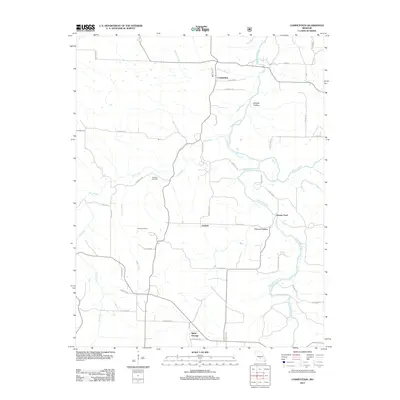 2012 Competition2012 Print · USGSWright County life in the early twenty-first century is centered on small settlements like Competition and Jerktail along the Gasconade River. Researchers can trace family history at Emerson Cemetery or locate the old river crossing at Burney Ford.
Showing maps 1-25 of 104
Top cities of Laclede County
- Lebanon historical maps
- Conway historical maps
- Phillipsburg historical maps
- Evergreen historical maps
- Caffeyville historical maps
Frequently asked questions
- What are the different types of historical maps available for Laclede County?
- What is the oldest map of Laclede County?
- Where can I purchase historical maps of Laclede County for my home or office?
- Where can I download high-res historical maps of Laclede County?
- Are there historical topographic maps available for Laclede County?
- Is there historical aerial imagery available for Laclede County?
- Where are historical maps of Laclede County sourced from?