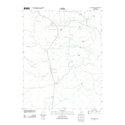
2011 Map of Decaturville
USGS Topo · Published 2011About this map
Decaturville sits at the heart of this landscape, where the headwaters of several drainages begin their descent toward the Lake of the Ozarks region. This area of Camden County is defined by a dendritic network of hollows, including Sellers Hollow and Flag Hollow, which feed into larger watercourses like Dry Auglaize Creek. The settlement pattern reflects a deeply rooted local history, evidenced by a high density of family and community burial grounds such as Claiborne Cemetery, Garrison Cemetery, and Wheeler Cemetery.
Find a feature on this map
75 named features on this map. Tap any name to fly to it.
Don’t see what you’re looking for? This feature index may not catch every label — zoom into the map to look around manually.
Map Details
Editions of this 2011 Decaturville Map
This is the sole edition of this map. No revisions or reprints were ever made.
Other maps of this area

1888 · Versailles
USGS Topo · 1:125,000

1893 · Versailles
USGS Topo · 1:125,000

1932 · Versailles No 4
USGS Topo · 1:48,000

1933 · Stoutland
USGS Topo · 1:62,500

1934 · Macks Creek
USGS Topo · 1:48,000

1934 · Camdenton
USGS Topo · 1:24,000

1934 · Toronto
USGS Topo · 1:24,000

1934 · Green Bay Terrace
USGS Topo · 1:24,000

1938 · Stoutland
USGS Topo · 1:62,500

1939 · Macks Creek
USGS Topo · 1:62,500