2020s Maps of Laclede County, Missouri
Explore 24 historic maps of Laclede County from the 2020s. These maps offer a rare glimpse into what life looked like during the 2020s — showing old roads, neighborhoods, homes, and landmarks that have changed or disappeared over time.
Whether you're researching your family's past, planning a metal detecting trip, or studying how Laclede County's landscape evolved across the 2020s, these high-resolution maps are a powerful tool for exploring the history of this region.
- Focus on a specific era: All maps on this page are from the 2020s, giving you a focused view of this time period.
- See what’s changed: Compare century-old streets, trails, and buildings to today's modern landscape using overlays and satellite layers.
- Research with precision: Use these maps for genealogy, historical research, land use analysis, or educational projects.
- View, download, or print: Maps are fully viewable online in high resolution, and can be downloaded or printed for your own records.
Start exploring Laclede County's history through authentic maps from the 2020s. This is your window into the past.
Laclede County, MO maps
(24)- 2021 Map of Brush Creek, 2021 Print
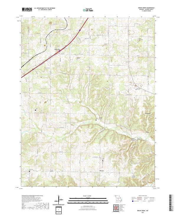 2021 Brush Creek2021 Print · USGSLaclede County's rural heartland is documented here in the early twenty-first century, showing the settlement patterns of the Ozark plateau. Genealogists can trace family footprints through numerous small burial sites like Roper Cem and Kissee Cem, or locate the karst features at Silver Mine Sink.
 - 2021 Map of Winnipeg, 2021 Print
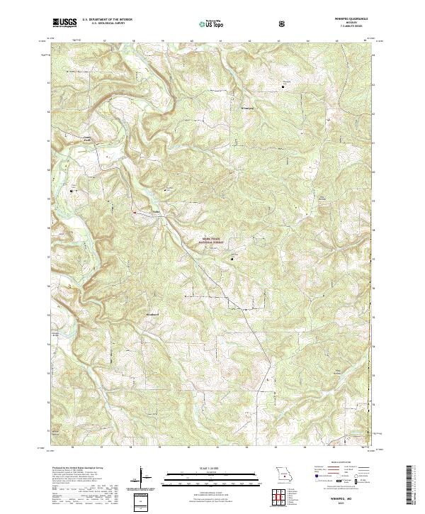 2021 Winnipeg2021 Print · USGSThe Gasconade River valley in southern Missouri remained a landscape of isolated hill settlements and clear Ozark creeks into the early 2020s. Researchers can trace family history at Winnipeg Cem or locate the historic river crossings at Casey Ford and Dougan Bridge.
 - 2021 Map of Hahatonka, 2021 Print
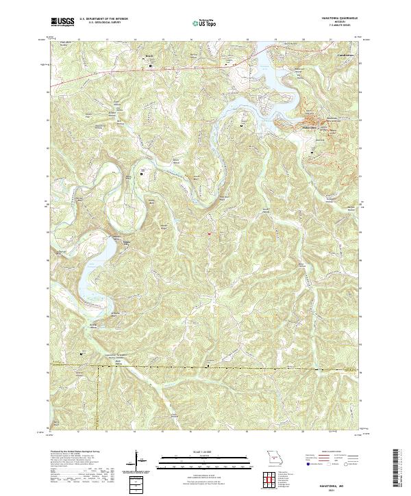 2021 Hahatonka2021 Print · USGSCamden County and the surrounding Ozark highlands are documented here during a period of modern mapping that highlights the region's intricate karst landscape. Researchers can locate several remote burial grounds like Lodge Cem and Baker Cem, or trace the rugged geography of Hahatonka Natural Bridge and White City.
 - 2021 Map of Rader, 2021 Print
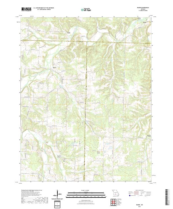 2021 Rader2021 Print · USGSThe rural borderlands of Laclede, Webster, and Wright counties are shown here as they appeared in the early twenty-first century. Genealogists and local historians can trace the paths to Weaver Cem, the small community of Rader, and the banks of the Osage Fork Gasconade River.
 - 2021 Map of Competition, 2021 Print
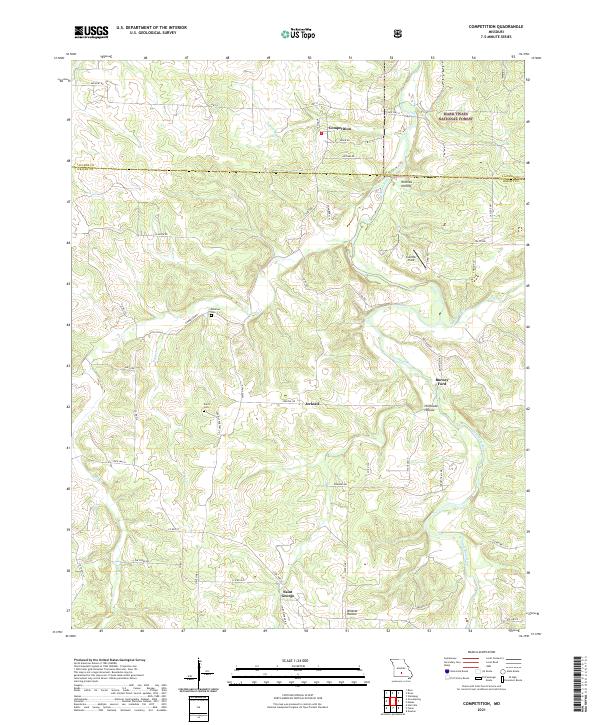 2021 Competition2021 Print · USGSWright and Laclede counties are shown here in the 2020s, featuring the Ozark highlands and the winding Gasconade River. Researchers can trace family sites at Emerson Cem or locate the old river crossing at Burney Ford.
 - 2021 Map of Drew, 2021 Print
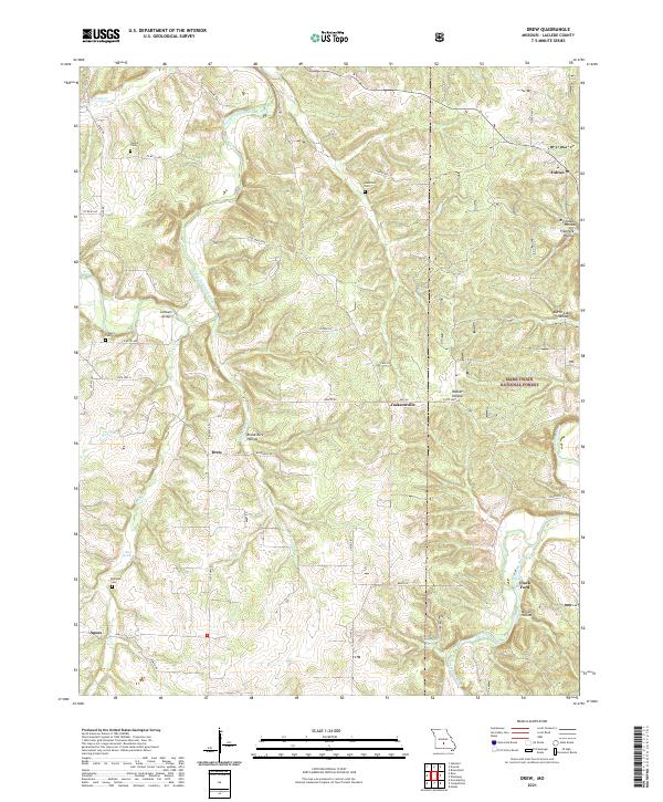 2021 Drew2021 Print · USGSLaclede County in the 2020s reveals a rural landscape defined by the winding Osage Fork Gasconade River and the timbered reaches of the Mark Twain National Forest. Family historians can trace local landmarks like Lambeth Bridge, Clark Ford, and Heard Cem.
 - 2021 Map of Grovespring, 2021 Print
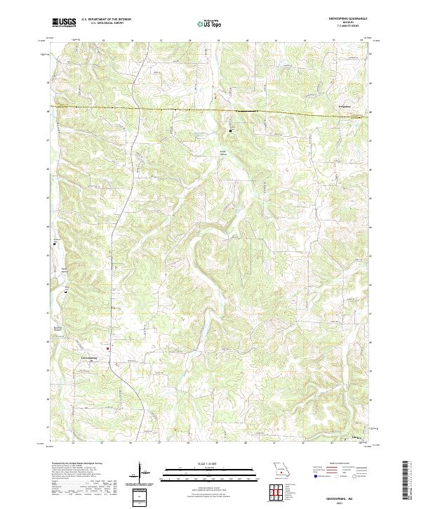 2021 Grovespring2021 Print · USGSThe rural landscapes of Wright and Laclede Counties come into focus in this recent survey. Local historians can trace the drainages of the Born River and Steins Cr to find family landmarks like Davis Cem and the settlement at Origanna.
 - 2021 Map of Stoutland, 2021 Print
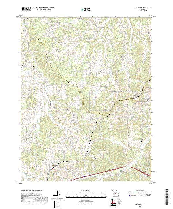 2021 Stoutland2021 Print · USGSStoutland and the surrounding Ozark borderlands are captured here in the early twenty-first century as they span the Laclede and Camden county line. Researchers can locate numerous family burial sites like Hillhouse Cem and Barnett Cem near the settlements of Sleeper and Delmar.
 - 2021 Map of Phillipsburg, 2021 Print
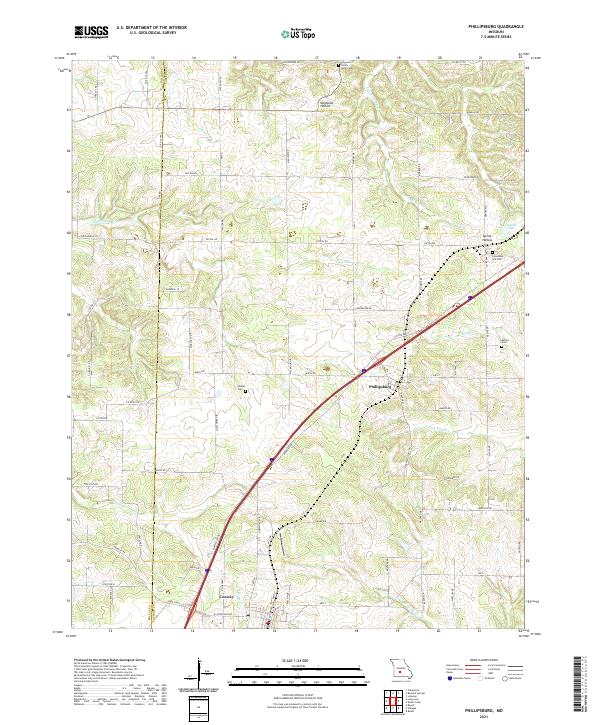 2021 Phillipsburg2021 Print · USGSPhillipsburg and the northern edge of Conway are shown in recent years along the historic corridor of the Ozarks. Genealogists and local historians can locate family landmarks like Lonesome Hill Cem, Shanks Cem, and the winding path of Dousinbury Cr.
 - 2021 Map of Montreal, 2021 Print
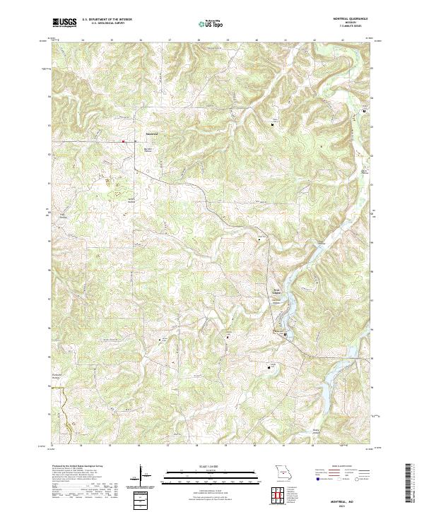 2021 Montreal2021 Print · USGSMontreal and the surrounding Missouri hollows are captured here during the early twenty-first century. Genealogists can trace family landmarks and rural homesteads through sites like Dodson Cem, Traw Hollow, and the Wet Glaize settlement.
 - 2021 Map of Decaturville, 2021 Print
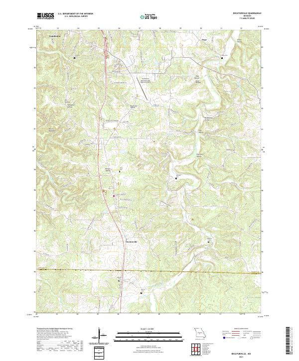 2021 Decaturville2021 Print · USGSCamden and Laclede counties appear here in the early 2020s, showing a landscape of deep hollows and rural crossroads. Researchers can locate numerous historic burial sites like Stone Cemetery and Claiborne Cemetery or trace the path of Dry Auglaize Creek.
 - 2021 Map of Lebanon, 2021 Print
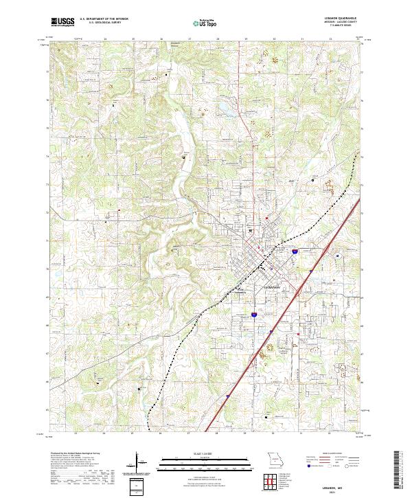 2021 Lebanon2021 Print · USGSLaclede County in the early 2020s shows the expansion of LEBANON alongside its rural roots. Researchers can locate numerous family burial sites like Dotson Cem and Ivey Cem or trace terrain features like Adkins Sink and Goodwin Hollow.
 - 2021 Map of Eldridge East, 2021 Print
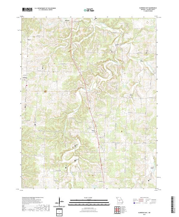 2021 Eldridge East2021 Print · USGSLaclede County's rural township landscape is documented here in the early twenty-first century. Genealogists can locate numerous small family burial sites such as Liberty Cem, Holman Cem, and Bradshaw Cem tucked away near Eldridge and Goodwin Hollow.
 - 2021 Map of Niangua, 2021 Print
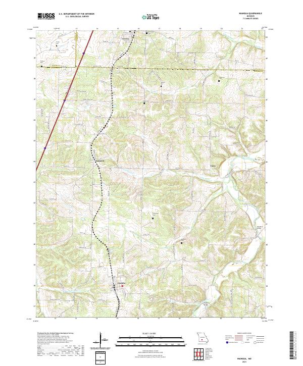 2021 Niangua2021 Print · USGSThe Missouri Ozarks are captured here at the intersection of three counties, showing a landscape defined by the BNSF Railway and river forks. Genealogists can trace early homesteads through several family burial grounds like Reed Cem and Letterman Cem.
 - 2021 Map of Bloodland, 2021 Print
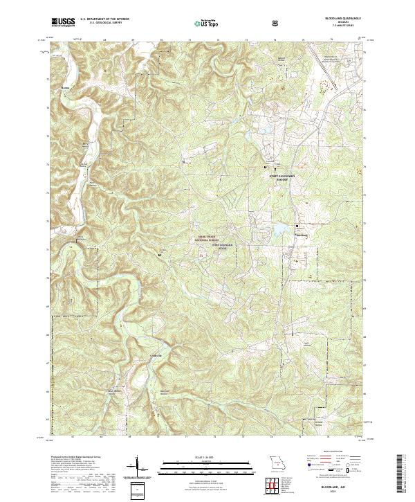 2021 Bloodland2021 Print · USGSPulaski County at the start of the 2020s shows a landscape of military reservations and deep Missouri hollows. Researchers can trace ancestral burial sites at Bloodland Cem and McCann Cem or locate the rural settlements of Cookville and Hanna.
 - 2021 Map of Oakland, 2021 Print
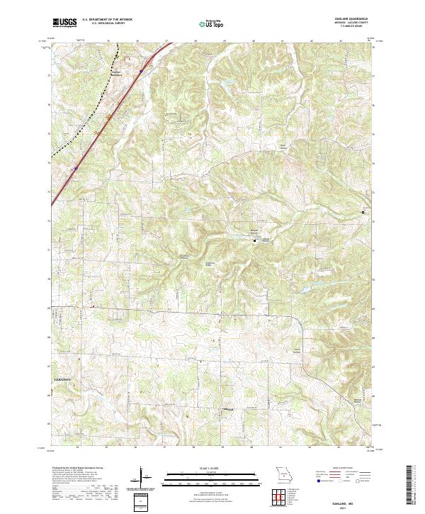 2021 Oakland2021 Print · USGSLaclede County as it appeared recently reveals a landscape of deep hollows and ridge-top settlements like Oakland. Genealogists and historians can trace family-named sites such as Jarrell Cem, Lillard Cem, and Singleton Ridge.
 - 2021 Map of Manes, 2021 Print
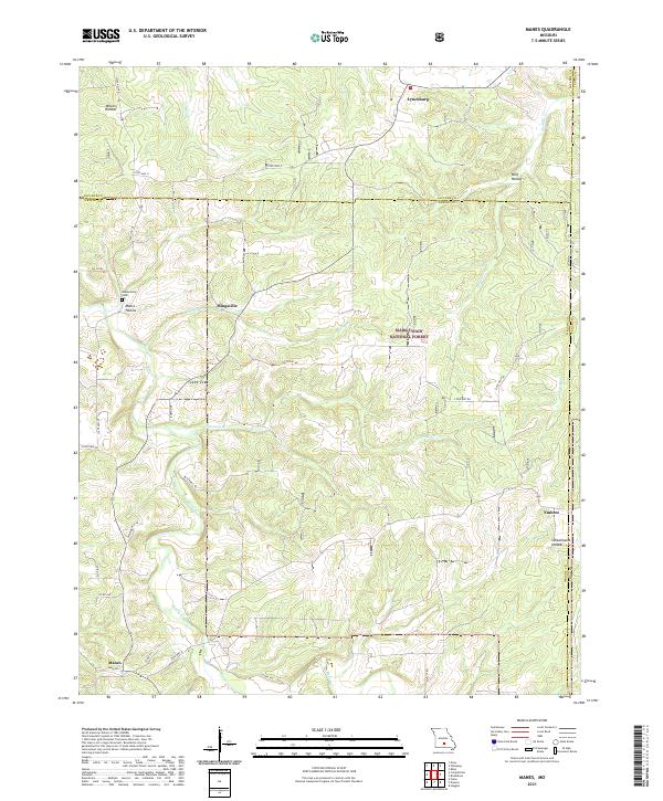 2021 Manes2021 Print · USGSWright County, Missouri, at the start of the 2020s remains a landscape of deep timber and Ozark hollows. Genealogists can trace family roots at Blankenship Cem or locate old community centers like Mingsville, Embree, and the northern village of Lynchburg.
 - 2021 Map of Drynob, 2021 Print
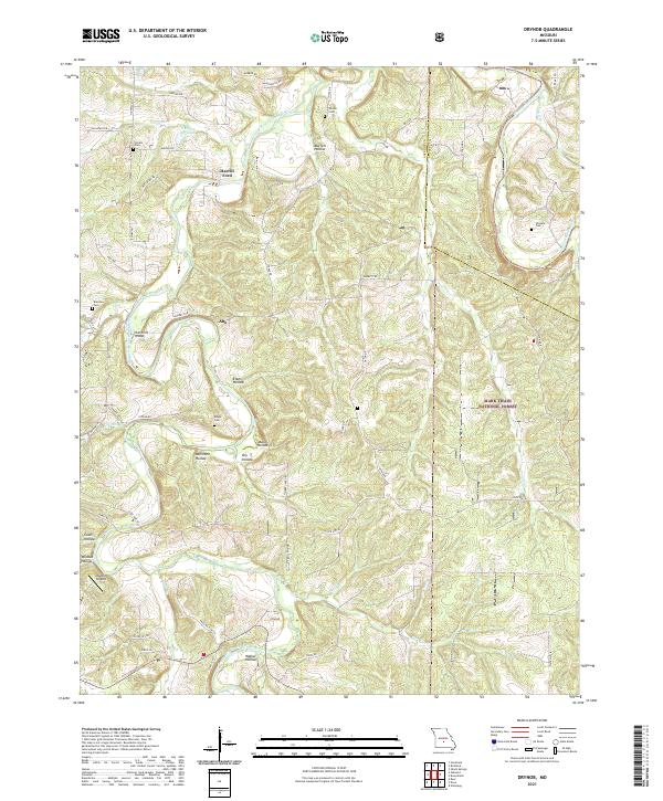 2021 Drynob2021 Print · USGSLaclede and Pulaski counties are captured in this modern survey of the Missouri Ozarks, where the river valleys dictate the location of family farms and forest boundaries. Researchers can trace rural lineages through sites like Similin Cem, the community of Abo, and old crossings at Harrill Ford.
 - 2021 Map of Russ, 2021 Print
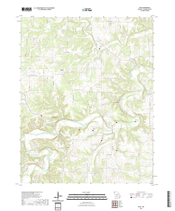 2021 Russ2021 Print · USGSLaclede County's rural landscape comes into focus during the early twenty-first century, centered on the winding Osage Fork Gasconade River. Researchers can trace local lineage through numerous burial sites like Whitson Cem and Fairview Cem near Evergreen and Orla.
 - 2021 Map of Brownfield, 2021 Print
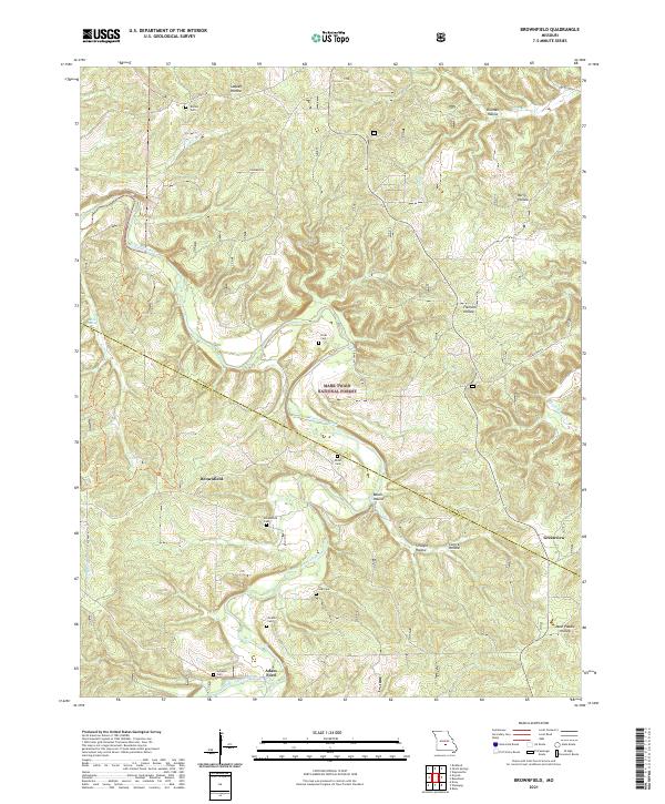 2021 Brownfield2021 Print · USGSThe Missouri Ozarks are captured here at the county line, where the Gasconade River winds through deep hollows. Researchers can trace family history through numerous burial sites like Rollins Cem, Brownfield Cem, and Cook Cem.
 - 2021 Map of Richland, 2021 Print
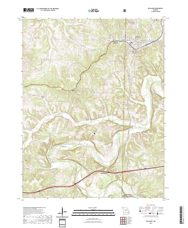 2021 Richland2021 Print · USGSRichland and the northern Ozark foothills are captured here in the early twenty-first century as the landscape transitions into the national forest. Researchers can trace the BNSF Railway corridor, the winding Gasconade River, and local landmarks like Oaklawn Cem.
 - 2021 Map of Bennett Springs, 2021 Print
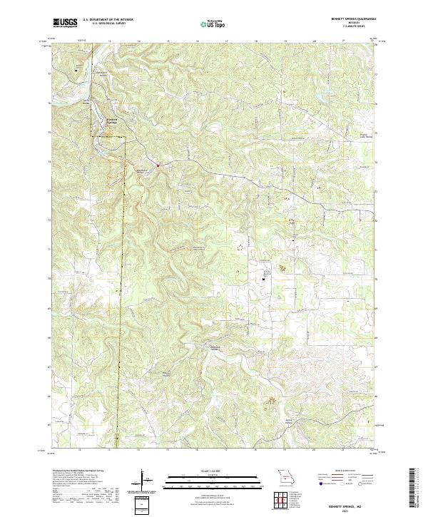 2021 Bennett Springs2021 Print · USGSThe Laclede and Dallas county line near the Ozarks is documented here as it appeared in recent years. Researchers can find old burial grounds like Atchley-Blackfoot Cem and unique landmarks such as the Bennett Spring Natural Tunnel.
 - 2021 Map of Eldridge West, 2021 Print
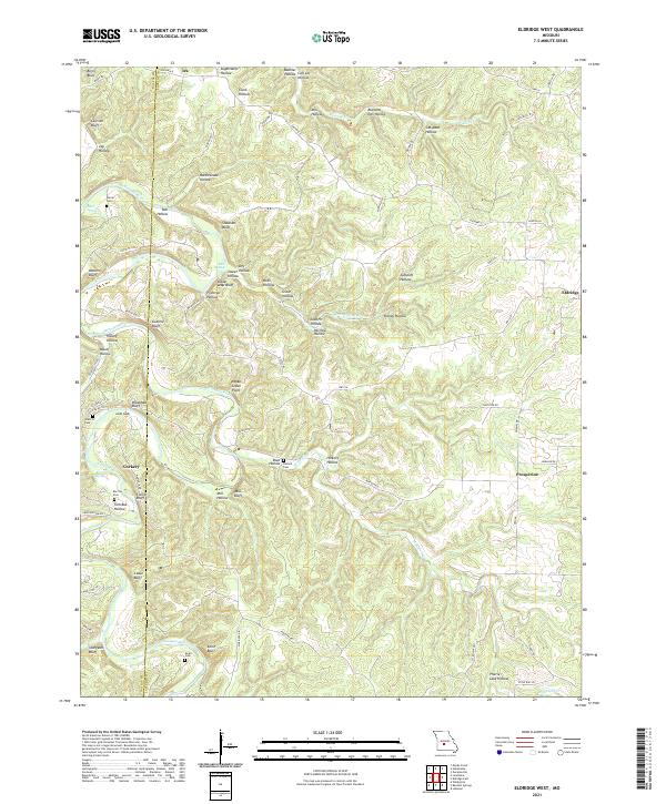 2021 Eldridge West2021 Print · USGSThe border of Laclede and Dallas counties comes alive in the early twenty-first century, showcasing a landscape of deep river hollows and family homesteads. Researchers can trace ancestral connections at Turner Cem and Guthrie Cem or locate old community centers like Corkery and Ira.
 - 2021 Map of Roby, 2021 Print
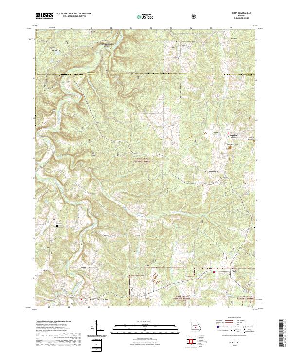 2021 Roby2021 Print · USGSTexas and Pulaski Counties are shown here during the early twenty-first century, where the Ozark Plateau meets the southern edge of a major military installation. Researchers can trace family history at Macedonia Cem or explore the rural surroundings of Evening Shade and Plato.
End of results
Showing maps 1-24 of 24
Top cities of Laclede County
- Lebanon historical maps
- Conway historical maps
- Phillipsburg historical maps
- Evergreen historical maps
- Caffeyville historical maps
Frequently asked questions
- What are the different types of historical maps available for Laclede County?
- What is the oldest map of Laclede County?
- Where can I purchase historical maps of Laclede County for my home or office?
- Where can I download high-res historical maps of Laclede County?
- Are there historical topographic maps available for Laclede County?
- Is there historical aerial imagery available for Laclede County?
- Where are historical maps of Laclede County sourced from?