2010s Maps of Mercer County, Missouri
Explore 50 historic maps of Mercer County from the 2010s. These maps offer a rare glimpse into what life looked like during the 2010s — showing old roads, neighborhoods, homes, and landmarks that have changed or disappeared over time.
Whether you're researching your family's past, planning a metal detecting trip, or studying how Mercer County's landscape evolved across the 2010s, these high-resolution maps are a powerful tool for exploring the history of this region.
- Focus on a specific era: All maps on this page are from the 2010s, giving you a focused view of this time period.
- See what’s changed: Compare century-old streets, trails, and buildings to today's modern landscape using overlays and satellite layers.
- Research with precision: Use these maps for genealogy, historical research, land use analysis, or educational projects.
- View, download, or print: Maps are fully viewable online in high resolution, and can be downloaded or printed for your own records.
Start exploring Mercer County's history through authentic maps from the 2010s. This is your window into the past.
Mercer County, MO maps
(50)- 2010 Map of Cleopatra, 2010 Print
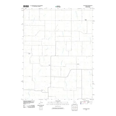 2010 Cleopatra2010 Print · USGSThe Missouri-Iowa borderlands are captured here in 2010, showing the rural landscape around Clinton Center. Genealogists can locate several local burial grounds including Laughlin Cemetery, Wilder Cemetery, and Lowery Cemetery among the many forks of Little Medicine Creek.
 - 2010 Map of Akron, 2010 Print
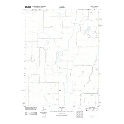 2010 Akron2010 Print · USGSDecatur County and the Missouri borderlands are shown here in the early twenty-first century as a landscape of rural townships and family histories. Genealogists can trace specific burial sites from New Buda Cemetery to Fogleman Cemetery, or locate old settlements like Akron and Burrows.
 - 2010 Map of Powersville, 2010 Print
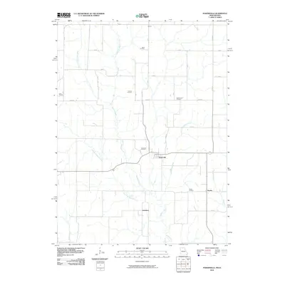 2010 Powersville2010 Print · USGSNorthern Missouri farmland near the Iowa border is documented here during the early twenty-first century. Genealogists can trace family heritage through numerous rural burial grounds such as Greer and Banta, or locate homesites near Wyreka and Galesburg.
 - 2010 Map of Lineville, 2010 Print
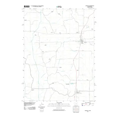 2010 Lineville2010 Print · USGSThe Missouri-Iowa border comes into focus in this recent survey of the bi-state communities of Lineville and Mercer. Genealogists can trace family heritage through a high density of rural burial sites, including White Oak Cemetery, Gatliff Cemetery, and South Lineville Cemetery.
 - 2010 Map of Pleasanton, 2010 Print
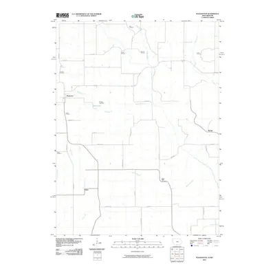 2010 Pleasanton2010 Print · USGSThe Iowa-Missouri borderlands at the turn of the decade show a resilient pattern of rural settlement and agriculture. Genealogists can trace family footprints across several local burial grounds, including Union Cemetery, Gammill Cemetery, and South Cemetery.
 - 2012 Map of Cainsville, 2012 Print
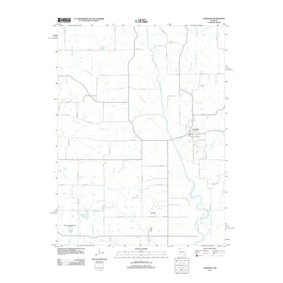 2012 Cainsville2012 Print · USGSCainsville sits at the center of this Harrison County survey, where the river and local roads shaped the early twenty-first-century landscape. Researchers can trace the town's footprint through the Cainsville Post Office and find local burial records at the Bohemian Cemetery.
 - 2012 Map of Half Rock, 2012 Print
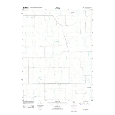 2012 Half Rock2012 Print · USGSMercer County at the start of the 2010s reveals a quiet landscape of prairie streams and small rural outposts. Genealogists and local historians can trace family locations near Half Rock Cemetery, Barnes Cemetery, and the old settlement of Topsy.
 - 2012 Map of Lucerne, 2012 Print
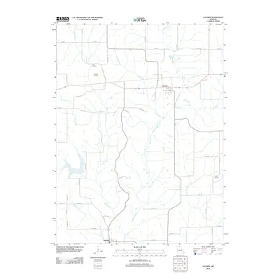 2012 Lucerne2012 Print · USGSThe northern Missouri towns of Newtown and Lucerne are mapped here at the start of the 2010s. Local researchers can trace family lineage and farm locations through sites like Old Busby Cemetery, Howard Cemetery, and the tributaries of Medicine Creek.
 - 2012 Map of Modena, 2012 Print
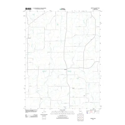 2012 Modena2012 Print · USGSMercer County at the start of the 2010s is characterized by its agricultural heritage and a sprawling grid of rural county highways. Researchers can trace the layout of small settlements like Modena and Dinsmore, or locate ancestral burial sites at Wild Cemetery and Brummitt Cemetery.
 - 2012 Map of Cleopatra, 2012 Print
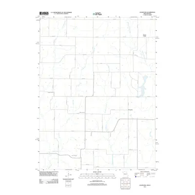 2012 Cleopatra2012 Print · USGSThe rural landscape of the Iowa-Missouri border comes into focus in the early twenty-first century, showing a quiet network of family farms and creek valleys. Researchers can locate several historic burial sites, including Laughlin Cemetery and Wilder Cemetery, near the settlements of Cleopatra and Clinton Center.
 - 2012 Map of Princeton, 2012 Print
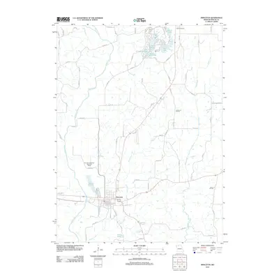 2012 Princeton2012 Print · USGSThe town of Princeton and its surrounding Mercer County landscape are captured here in the early 2010s. Researchers can locate family sites and rural history at Mercer Cemetery, Collins Cemetery, and the Princeton-Kauffman Memorial Airport.
 - 2012 Map of Powersville, 2012 Print
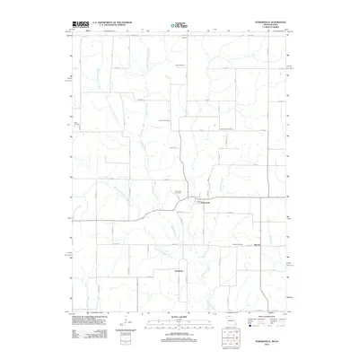 2012 Powersville2012 Print · USGSPutnam County at the turn of the decade reveals a settled agricultural landscape defined by the winding forks of Medicine Creek. Researchers can trace the heritage of rural communities through several local landmarks including Galesburg, Wyreka Cemetery, and Powersville.
 - 2012 Map of Mount Moriah, 2012 Print
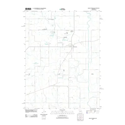 2012 Mount Moriah2012 Print · USGSMount Moriah and its surrounding Harrison County farmlands are documented here at the start of the 2010s. Local researchers can trace family names and landmarks across the countryside, from Stoner Cemetery to Landes-Stanley Lake and the Thompson River.
 - 2012 Map of Akron, 2012 Print
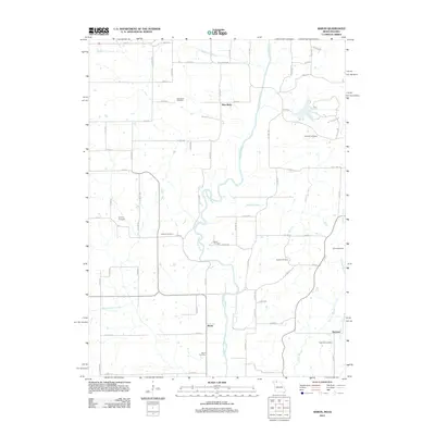 2012 Akron2012 Print · USGSThe Iowa-Missouri borderlands come into focus in the early twenty-first century, showing the rural river valleys of Decatur County. Researchers can trace family history through a high density of burial sites like New Buda Cemetery, Hughes Cemetery, and Eastin Cemetery.
 - 2012 Map of Harris, 2012 Print
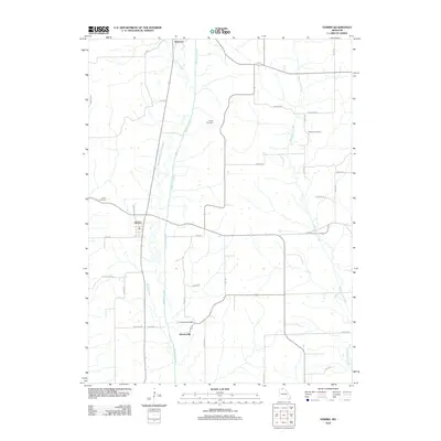 2012 Harris2012 Print · USGSSullivan County’s rural landscape is captured here in the early twenty-first century, centered on the small hubs of Harris and Newtown. Genealogists can locate family burial sites at Busby Cemetery or Brackett Cemetery and trace the paths of Medicine Creek.
 - 2012 Map of Goshen, 2012 Print
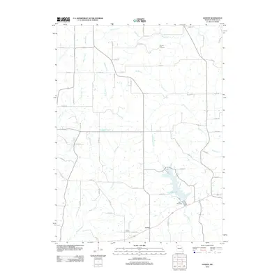 2012 Goshen2012 Print · USGSNorthwestern Missouri's rolling farm country and creek bottoms are documented here in the early twenty-first century. Researchers can trace family history at Goshen Cemetery and Pleasant Hill Cemetery or examine the shoreline of Lake Paho.
 - 2012 Map of Ravanna, 2012 Print
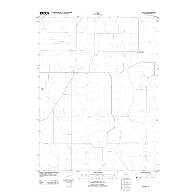 2012 Ravanna2012 Print · USGSMercer County at the start of the 2010s remains a landscape of quiet agricultural tradition and well-preserved family history. Genealogists can locate several local burial sites including Duree Cemetery, Anderson Cemetery, and Weisner Cemetery.
 - 2012 Map of Mill Grove, 2012 Print
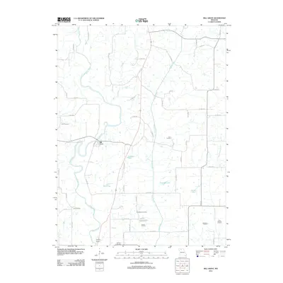 2012 Mill Grove2012 Print · USGSThe community of Mill Grove and the surrounding Missouri countryside are documented here in the early twenty-first century. Genealogists can locate numerous local burial sites including Salem Cemetery, Coon Cemetery, and Groff Cemetery near the banks of the Weldon River.
 - 2013 Map of Lineville, 2013 Print
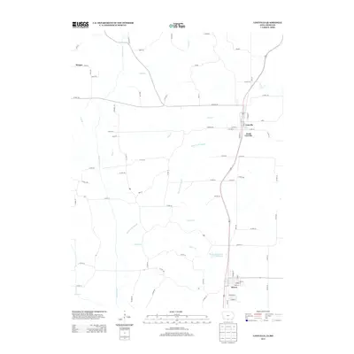 2013 Lineville2013 Print · USGSLineville and Mercer straddle the Iowa-Missouri border in this contemporary survey of the Heartland's rural agricultural corridor. Researchers can trace the drainage of the Weldon River and locate local landmarks such as Lions Community Park Lake and the settlement of Morgan.
 - 2013 Map of Pleasanton, 2013 Print
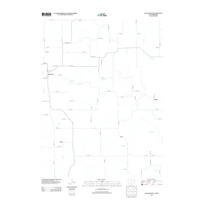 2013 Pleasanton2013 Print · USGSThe Iowa-Missouri borderlands come into focus in this recent survey of Decatur County's agricultural landscape. Researchers can trace rural settlement patterns around Pleasanton and Saline, or locate local landmarks like Shields Lake and Wataga.
 - 2014 Map of Powersville, 2014 Print
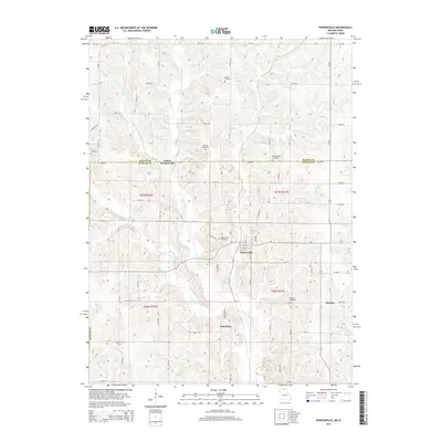 2014 Powersville2014 Print · USGSThe Missouri-Iowa borderlands in Putnam County appear here in fine detail during the early twenty-first century. Local historians can trace the rural layout of Powersville and Wyreka or locate ancestral burial grounds like Medicineville Cemetery and Edmond Cemetery.
 - 2014 Map of Lucerne, 2014 Print
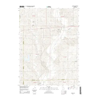 2014 Lucerne2014 Print · USGSThe northern Missouri borderlands are captured here in the early twenty-first century as agricultural life continues across Putnam and Sullivan counties. Genealogists can locate family landmarks such as Busby Cemetery, Old Busby Cemetery, and Howard Cemetery along the banks of Medicine Cr.
 - 2014 Map of Half Rock, 2014 Print
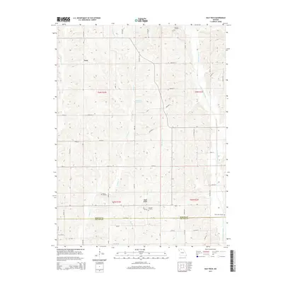 2014 Half Rock2014 Print · USGSMercer County farmland and rural settlements are captured here in the early twenty-first century as they span the Grundy County line. Researchers can locate family heritage sites like Half Rock Cemetery, Barnes Cemetery, and the small community of Topsy.
 - 2014 Map of Modena, 2014 Print
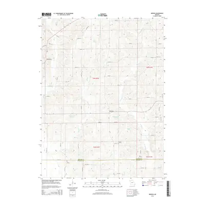 2014 Modena2014 Print · USGSNorth-central Missouri in the early 2010s is captured here at the junction of Mercer and Grundy counties. Local history researchers can pinpoint small settlements like Modena and Dinsmore or trace family lineages at Brummitt Cemetery and Wild Cemetery.
 - 2014 Map of Princeton, 2014 Print
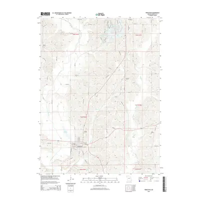 2014 Princeton2014 Print · USGSMercer County's rural character is on full display in this mid-2010s survey of Princeton. Researchers can trace local lineage across several sites like Princeton Cemetery and Underwood Cemetery or follow the waters of the Weldon River and Muddy Creek.
Showing maps 1-25 of 50
Top cities of Mercer County
- Princeton historical maps
- Mercer historical maps
- Ravanna historical maps
- South Lineville historical maps
Frequently asked questions
- What are the different types of historical maps available for Mercer County?
- What is the oldest map of Mercer County?
- Where can I purchase historical maps of Mercer County for my home or office?
- Where can I download high-res historical maps of Mercer County?
- Are there historical topographic maps available for Mercer County?
- Is there historical aerial imagery available for Mercer County?
- Where are historical maps of Mercer County sourced from?