Old Maps of Hughes Township, Missouri for Academic Research
Study the evolution of Hughes Township with 32 high-resolution historic maps. Whether you're teaching, researching, or modeling changes in land use, these maps provide essential visual documentation of urban, environmental, and geographic change.
- Analyze long-term change: Track patterns in development, transportation, and natural features.
- Ideal for environmental or urban studies: Support academic projects with primary historical map data.
- Use in the classroom or lab: Educators and researchers rely on these maps to bring historical context to life.
These maps are a powerful tool for teaching, research, and visualizing how Hughes Township has changed over the decades.
Hughes Township, MO maps
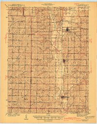
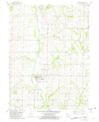
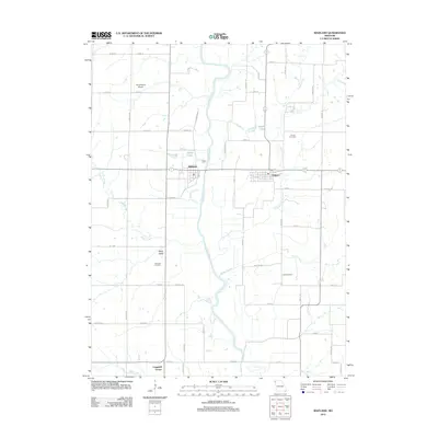
(32)- 1926 Map of Maitland
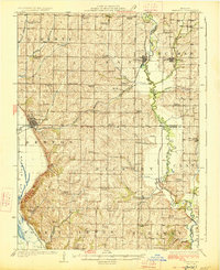 1926 Maitland1926 Print · USGSNorthwest Missouri in the mid-1920s reveals a countryside of small farms and tightly packed rural school districts. Genealogists and historians can trace family roots through dozens of local landmarks like Triumph School, Bethel Church, and the village of Graham.3 unique versions available
 - 1927 Map of Bolckow
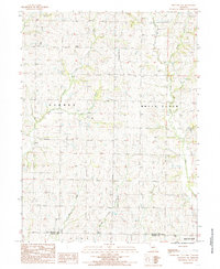
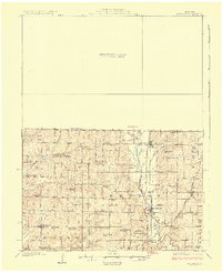 1927 Bolckow1927 Print · USGSNorthwest Missouri thrived as a rail-centered farming region in the years before the Great Depression. Researchers can trace rural lineages through numerous country schools like Radical School and Gravel Wall School, or locate the Stone Church Cem.2 unique versions available
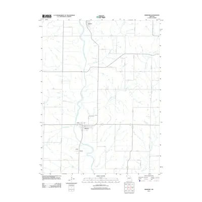
 - 1939 Map of Skidmore
 1939 Skidmore1939 Print · USGSNorthwest Missouri is captured here in the late thirties, when the river valleys were teeming with small school districts and active rail lines. Researchers can trace family history through dozens of rural schools like Evans Sch and churches including Centenary Ch.3 unique versions available
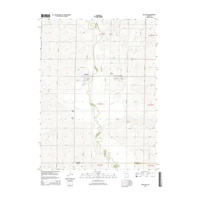
 - 1941 Map of Skidmore
 1941 Skidmore1941 Print · USGSNodaway County agriculture and transit thrive during the late thirties and early forties as major rail lines intersect. Genealogists can locate dozens of rural landmarks, including St Oswald Ch, Burlington Junction, and the Little Brick Sch.
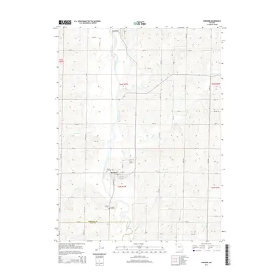
 - 1942 Map of Skidmore
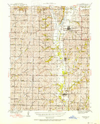
 1942 Skidmore1942 Print · USGSNodaway County is captured here in the early 1940s, showing a landscape defined by the Nodaway River and the Chicago Burlington and Quincy railroad. Researchers can trace dozens of country school sites like Little Brick Sch and Eudora Sch, or find family landmarks such as St Oswald Ch and London Cem.2 unique versions available
 - 1943 Map of Maryville
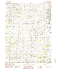
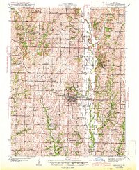 1943 Maryville1943 Print · USGSNodaway County agricultural life and the growing city of Maryville are documented here just before the mid-century. Genealogists can locate dozens of rural landmarks, from Workman Union Chapel to family-named schools like Guthrie Sch and Casteel Sch.3 unique versions available
 - 1945 Map of Bolckow
 1945 Bolckow1945 Print · USGSNorthwest Missouri in the 1940s is defined here by its rail-connected towns and a dense network of one-room schoolhouses. Genealogists can trace family footprints across dozens of local landmarks like Shambaugh Cem, Common Sense Sch, and Pumpkin Center.2 unique versions available
 - 1955 Map of Nebraska City, 1967 Print
 1955 Nebraska City1967 Print · USGSThe four-state region surrounding the Missouri River valley appears here in the mid-1950s, a landscape of rail-dependent market towns and rural school districts. Genealogists can locate family landmarks like the Rock Bluff School, St Oswald Church, and the Clarinda State Hospital.3 unique versions available
 - 1957 Map of Nebraska City
 1957 Nebraska City1957 Print · USGSThe four-state junction of Nebraska, Iowa, Missouri, and Kansas comes alive in this mid-fifties survey of the Missouri River valley. Genealogists and historians can trace the rail-and-road networks connecting Nebraska City, Maryville, and the Squaw Creek National Wildlife Refuge.
 - 1958 Map of Nebraska City
 1958 Nebraska City1958 Print · USGSThe Missouri River Valley and its fertile four-state borderlands are captured here during the mid-century expansion of the regional highway and rail networks. Genealogists can trace family roots through numerous rural landmarks like Moulton School, Shady Grove Church, and the Clarinda State Hospital.
 - 1981 Map of Maitland, 1982 Print
 1981 Maitland1982 Print · USGSMaitland and Graham thrive along the Nodaway River valley in the early eighties as rail and river dictate the local geography. Genealogists and historians can locate family plots at Prairie Home Cem or Schooler Cem and trace the old Burlington Northern rail corridor.
 - 1981 Map of Skidmore, 1982 Print
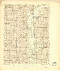
 1981 Skidmore1982 Print · USGSNodaway County agricultural life and riverfront settlement are documented here in the early 1980s. Local researchers can trace the Burlington Northern Railroad Grade or locate family plots at Masonic Cem and Smith Cem.
 - 1984 Map of Bolckow NW, 1985 Print
 1984 Bolckow NW1985 Print · USGSNodaway and Andrew counties are captured here in the early eighties as rural townships and creek valleys defined the local landscape. Genealogists can locate several family burial sites marked Cem and trace the paths of White Cloud Creek and Jenkins Creek.
 - 1984 Map of Maryville West, 1985 Print
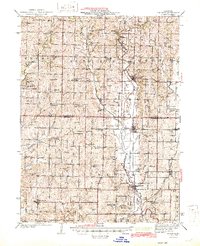
 1984 Maryville West1985 Print · USGSMaryville and the surrounding townships of Nodaway County are captured in the mid-1980s during a period of steady university growth and rural persistence. Researchers can locate the footprint of Northwest Missouri State University, the Memorial Airport, and local landmarks like the Drive-in Theater.
 - 1986 Map of Falls City
 1986 Falls City1986 Print · USGSThe Missouri River borderlands of Nebraska and Missouri were a landscape of established colleges and river-bound railroads in the mid-1980s. Researchers can locate long-standing landmarks like Peru State College, the Iowa Indian Reservation, and St Johns Cem.2 unique versions available
 - 1986 Map of Maryville
 1986 Maryville1986 Print · USGSNorthwest Missouri's agricultural heartland is documented here in the mid-1980s, from the campus at Northwest Missouri State University to the Grand River valley. Genealogists can trace family footprints across dozens of local burial grounds like Alanthus Grove Cem and Brooklyn Cem.2 unique versions available
 - 2011 Map of Maryville West, 2011 Print
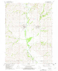
 2011 Maryville West2011 Print · USGSCovers Hughes Township, including Maryville, Polk Township, and other nearby areas
 - 2011 Map of Bolckow NW, 2011 Print
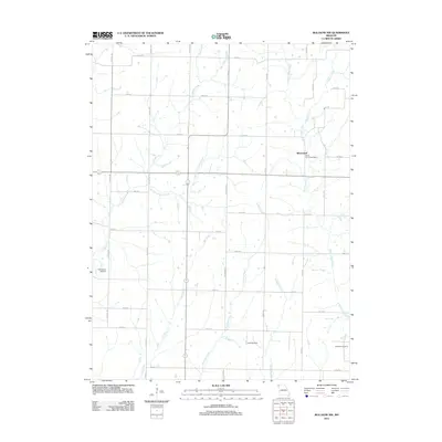 2011 Bolckow NW2011 Print · USGSCovers Hughes Township, including White Cloud Township, Whitecloud, and other nearby areas
 - 2012 Map of Maitland, 2012 Print
 2012 Maitland2012 Print · USGSCovers Hughes Township, including Maitland, Graham, and other nearby areas
 - 2012 Map of Skidmore, 2012 Print
 2012 Skidmore2012 Print · USGSCovers Hughes Township, including Skidmore, Quitman, and other nearby areas
 - 2014 Map of Bolckow NW, 2014 Print
 2014 Bolckow NW2014 Print · USGSCovers Hughes Township, including White Cloud Township, Whitecloud, and other nearby areas
 - 2014 Map of Maitland, 2014 Print
 2014 Maitland2014 Print · USGSCovers Hughes Township, including Maitland, Graham, and other nearby areas
 - 2014 Map of Skidmore, 2014 Print
 2014 Skidmore2014 Print · USGSCovers Hughes Township, including Skidmore, Quitman, and other nearby areas
 - 2014 Map of Maryville West, 2014 Print
 2014 Maryville West2014 Print · USGSCovers Hughes Township, including Maryville, Polk Township, and other nearby areas
 - 2017 Map of Maryville West, 2017 Print
 2017 Maryville West2017 Print · USGSCovers Hughes Township, including Maryville, Polk Township, and other nearby areas
Showing maps 1-25 of 32
Top cities near Hughes Township
- Maryville historical maps
- Mound City historical maps
- Oregon historical maps
- Skidmore historical maps
- Forest City historical maps
- Maitland historical maps
See more
Top neighborhoods of Hughes Township
Frequently asked questions
- What are the different types of historical maps available for Hughes Township?
- What is the oldest map of Hughes Township?
- Where can I purchase historical maps of Hughes Township for my home or office?
- Where can I download high-res historical maps of Hughes Township?
- Are there historical topographic maps available for Hughes Township?
- Is there historical aerial imagery available for Hughes Township?
- Where are historical maps of Hughes Township sourced from?