2000s (21st Century) Maps of Perryville, Missouri
Explore 16 historic maps of Perryville from the 2000s (21st Century). These maps offer a rare glimpse into what life looked like during the 2000s — showing old roads, neighborhoods, homes, and landmarks that have changed or disappeared over time.
Whether you're researching your family's past, planning a metal detecting trip, or studying how Perryville's landscape evolved across the 2000s, these high-resolution maps are a powerful tool for exploring the history of this region.
- Focus on a specific era: All maps on this page are from the 2000s, giving you a focused view of this time period.
- See what’s changed: Compare century-old streets, trails, and buildings to today's modern landscape using overlays and satellite layers.
- Research with precision: Use these maps for genealogy, historical research, land use analysis, or educational projects.
- View, download, or print: Maps are fully viewable online in high resolution, and can be downloaded or printed for your own records.
Start exploring Perryville's history through authentic maps from the 2000s. This is your window into the past.
Perryville, MO maps
(16)- 2012 Map of Perryville East, 2012 Print
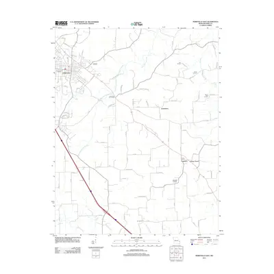 2012 Perryville East2012 Print · USGSThe eastern Missouri landscape near the Mississippi River was well-established by the early twenty-first century, featuring a dense network of rural settlements. Researchers can trace family history at Saint Boniface Cemetery or locate the historic center of Friedenberg and Longtown.
 - 2012 Map of Lithium, 2012 Print
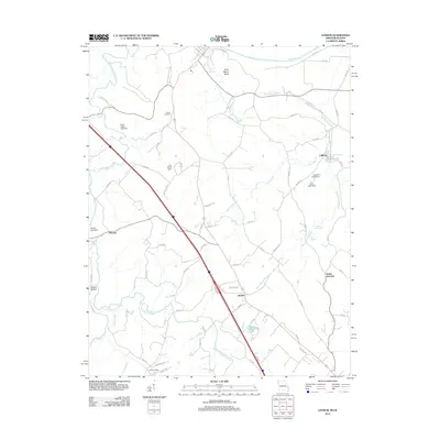 2012 Lithium2012 Print · USGSPerry County near the Mississippi River floodplain remains a landscape of springs and small settlements in the early 2010s. Researchers can trace local genealogy and land use through Brown Cemetery and the waters of Lithium Spring and Blue Spring.
 - 2012 Map of Perryville West, 2012 Print
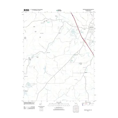 2012 Perryville West2012 Print · USGSPerryville and its western rural hinterland are shown here in the early 21st century, detailing the growth of the county seat toward the hills. You can trace the road networks connecting small settlements like Friendly Valley and Highland to landmarks like Mount Hope Cemetery and Perry County Community Lake.
 - 2012 Map of Belgique, 2012 Print
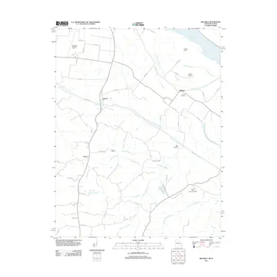 2012 Belgique2012 Print · USGSNear the Mississippi River in the early twenty-first century, this Perry County landscape reveals a mix of bottomland farming and upland creek drainages. Genealogists and historians can locate Nativity Cemetery, the site of McClannahan Mill, and the small settlement of McBride.
 - 2015 Map of Perryville West, 2015 Print
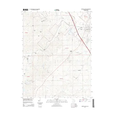 2015 Perryville West2015 Print · USGSPerryville and its western Missouri hinterlands are mapped here in the mid-2010s, showcasing a landscape shaped by creek systems and rural expansion. Researchers can trace local heritage through sites like Saint Rose of Lima Cemetery, the settlement at Highland, and the namesake Silver Lake.
 - 2015 Map of Perryville East, 2015 Print
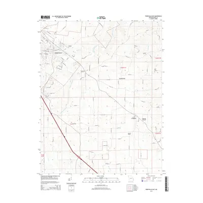 2015 Perryville East2015 Print · USGSSoutheast Missouri’s rural landscape is captured here in the mid-2010s, centering on the outskirts of Perryville and the farming community of Friedenberg. Researchers can trace local heritage through many sites like Baptist Shed Cemetery, Calvary Church, and Zion Cemetery.
 - 2015 Map of Lithium, 2015 Print
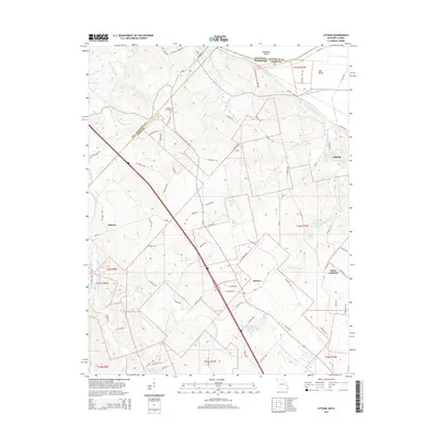 2015 Lithium2015 Print · USGSPerry County, Missouri, is shown here in the mid-2010s as a landscape of rural settlements and unique geological features. Researchers can trace local landmarks like Lithium Spring, the Brown Cemetery, and the shifting state boundaries along Kaskaskia Island.
 - 2015 Map of Belgique, 2015 Print
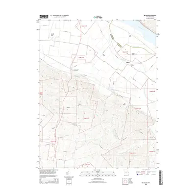 2015 Belgique2015 Print · USGSSoutheast Missouri and southern Illinois meet along the Mississippi River in this 2015 study of the bottomlands and bluffs. Genealogists can locate family landmarks like Nativity Cemetery and Preston Cemetery or trace the early paths of Belgique and McBride.
 - 2017 Map of Belgique, 2017 Print
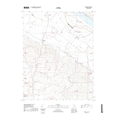 2017 Belgique2017 Print · USGSThe river bottomlands of Perry County are captured here in the late twenty-tens, showing the rural communities of Belgique and McBride along the Mississippi River. Genealogists and local historians can trace family sites like Nativity Cemetery and Preston Cemetery near the winding Missouri Chute.
 - 2017 Map of Lithium, 2017 Print
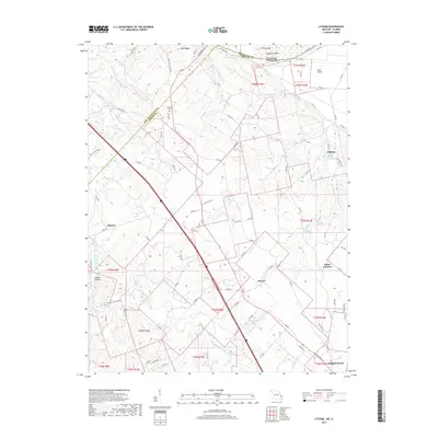 2017 Lithium2017 Print · USGSPerry County's rural landscape is captured here in the late 2010s, showing the intricate water systems near the Illinois border. Researchers can trace family sites near Brown Cem or explore the hydrography around Lithium Spring and Ball Mill Resurgence.
 - 2017 Map of Perryville East, 2017 Print
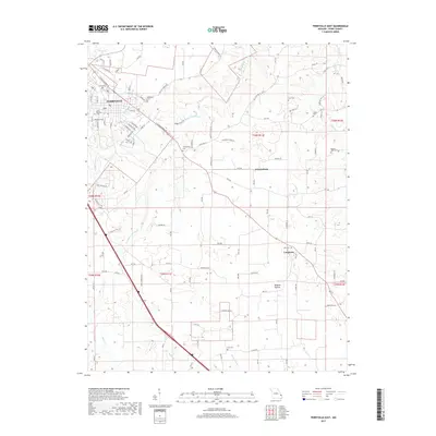 2017 Perryville East2017 Print · USGSEastern Perry County during the late 2010s shows a landscape of established rural communities and winding creek drainages. Genealogists can trace family footprints across numerous sites like Friedenberg, Longtown, and the historic Zion Cem or Horn Cem.
 - 2017 Map of Perryville West, 2017 Print
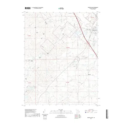 2017 Perryville West2017 Print · USGSPerryville and its rural surroundings in the late twenty-tens reveal a landscape of growing neighborhoods and deep-rooted community sites. Genealogists and local historians can locate Saint Marys of the Barrens Cem, Highland, and Silver Lake.
 - 2021 Map of Perryville East, 2021 Print
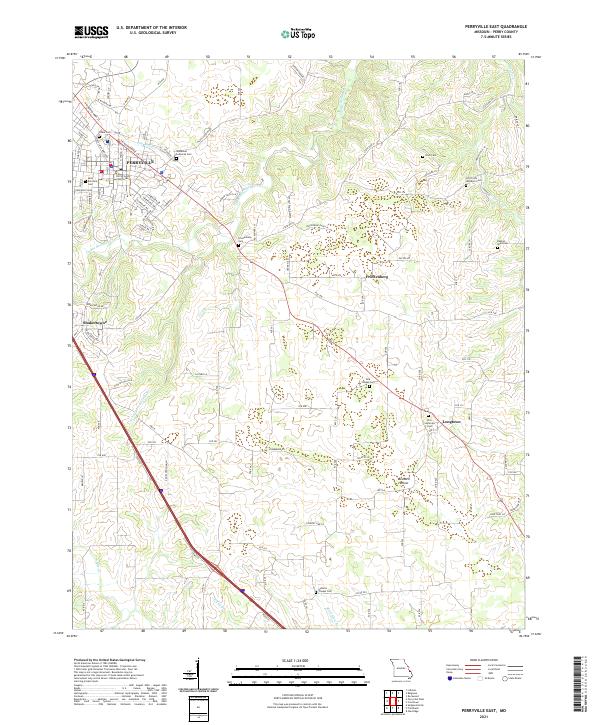 2021 Perryville East2021 Print · USGSPerry County at the start of the 2020s shows the growth of Perryville alongside its deep-rooted rural church communities. Genealogists can locate family landmarks like the Perry County Courthouse, York Chapel Cem, and Friedenberg.
 - 2021 Map of Perryville West, 2021 Print
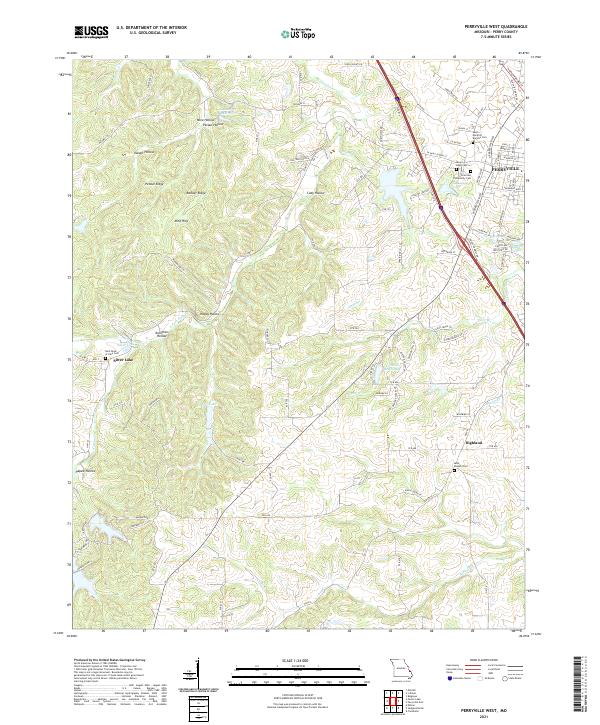 2021 Perryville West2021 Print · USGSPerry County's western outskirts and the growing city of Perryville are shown here during the early twenty-first century. Genealogists and local historians can trace family locations and church sites like Saint Joseph Cem in Highland or the Saint-Rose-of-Lima Cem near Silver Lake.
 - 2021 Map of Lithium, 2021 Print
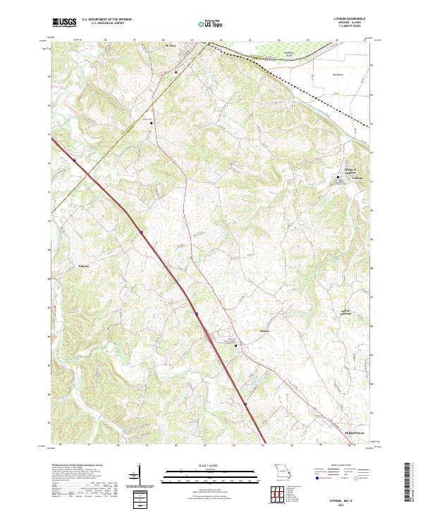 2021 Lithium2021 Print · USGSSoutheast Missouri's river borderlands come alive in this recent survey of the Lithium and Perryville areas. Genealogists and local historians can trace family roots at Brown Cem, locate the Village of Lithium, or study the Ball Mill Resurgence and Old River.
 - 2021 Map of Belgique, 2021 Print
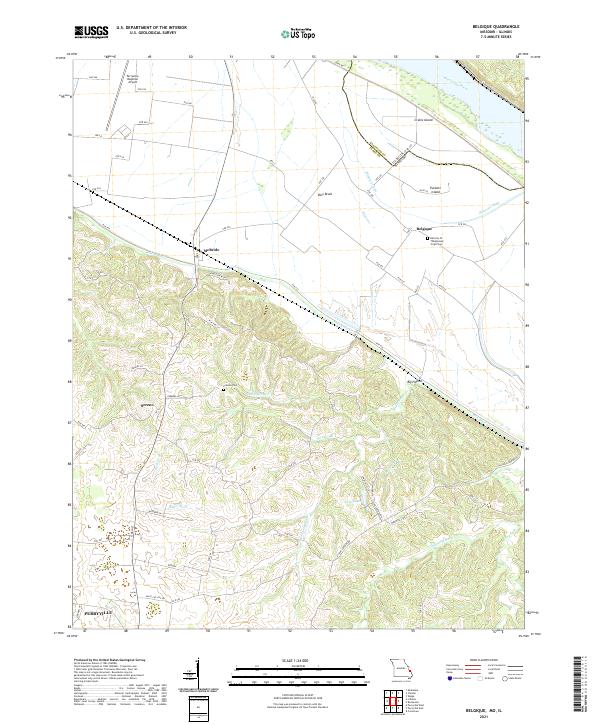 2021 Belgique2021 Print · USGSThe Missouri-Illinois borderlands come into focus in this contemporary survey, showing the shifting course of the Mississippi River and its backwaters. Genealogists can locate Preston Cem and the community of Belgique, while tracing the rural road network connecting Sereno and McBride.
End of results
Showing maps 1-16 of 16
Top cities near Perryville
- Chester historical maps
- Sainte Genevieve historical maps
- Saint Mary historical maps
- St. Mary historical maps
- Oak Ridge historical maps
- Sedgewickville historical maps
See more
Frequently asked questions
- What are the different types of historical maps available for Perryville?
- What is the oldest map of Perryville?
- Where can I purchase historical maps of Perryville for my home or office?
- Where can I download high-res historical maps of Perryville?
- Are there historical topographic maps available for Perryville?
- Is there historical aerial imagery available for Perryville?
- Where are historical maps of Perryville sourced from?