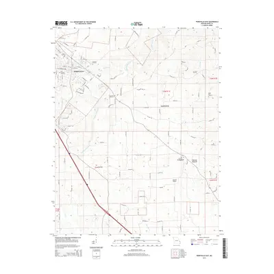
2015 Map of Perryville East
USGS Topo · Published 2015About this map
The eastern edges of Perryville transition into the agricultural heart of Perry County, where the landscape is defined by the winding course of Cinque Hommes Cr and its many tributaries. This 2015 survey reveals a terrain deeply tied to its Lutheran and Catholic heritage, visible in the dense distribution of local burial grounds and places of worship. While the city expands along Industrial Dr and Old St Marys Rd, the surrounding countryside maintains its rural character in settlements like Friedenberg and Longtown. Genealogists will find this sheet particularly valuable for its precise location of numerous family and congregational landmarks, including Friedenberg Cemetery, Horn Cemetery, and Stump Cemetery. The southern reaches are marked by the drainage of Apple Cr and Rocky Br, illustrating the natural watershed that has historically dictated the placement of homesteads and connecting roads in this portion of Missouri.
Find a feature on this map
104 named features on this map. Tap any name to fly to it.
Don’t see what you’re looking for? This feature index may not catch every label — zoom into the map to look around manually.
Map Details
Editions of this 2015 Perryville East Map
This is the sole edition of this map. No revisions or reprints were ever made.
Other maps of this area

1915 · Chester
USGS Topo · 1:62,500

1916 · Campbell Hill
USGS Topo · 1:62,500

1918 · Altenburg
USGS Topo · 1:62,500

1918 · Campbell Hill
USGS Topo · 1:62,500

1923 · Perryville
USGS Topo · 1:62,500

1924 · Perryville
USGS Topo · 1:62,500

1925 · Altenburg
USGS Topo · 1:62,500

1947 · Chester
USGS Topo · 1:62,500

1947 · Crosstown
USGS Topo · 1:24,000

1947 · Oak Ridge
USGS Topo · 1:24,000