
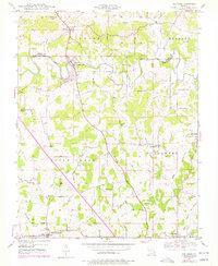
1947 Map of Oak Ridge
USGS Topo · Published 1964About this map
Apple Creek meanders across the border of Perry and Cape Girardeau counties, serving as the central artery for a landscape defined by small mid-century rural communities. The map highlights the transition between the townships of Union, Brazeau, Apple Creek, and Shawnee, where development follows the winding paths of Indian Creek and Buckeye Creek. The settlement pattern is anchored by small crossroad hubs like Uniontown, Appleton, and the distinct post office at Old Appleton (PO).
Find a feature on this map
31 named features on this map. Tap any name to fly to it.
Don’t see what you’re looking for? This feature index may not catch every label — zoom into the map to look around manually.
Map Details
Editions of this 1947 Oak Ridge Map
2 editions found
Other maps of this area

1918 · Altenburg
USGS Topo · 1:62,500

1922 · Cape Girardeau
USGS Topo · 1:62,500

1923 · Perryville
USGS Topo · 1:62,500

1924 · Cape Girardeau
USGS Topo · 1:62,500

1924 · Perryville
USGS Topo · 1:62,500

1925 · Altenburg
USGS Topo · 1:62,500

1933 · Marble Hill
USGS Topo · 1:62,500

1937 · Marble Hill
USGS Topo · 1:62,500

1947 · Crosstown
USGS Topo · 1:24,000

1947 · Altenburg
USGS Topo · 1:62,500