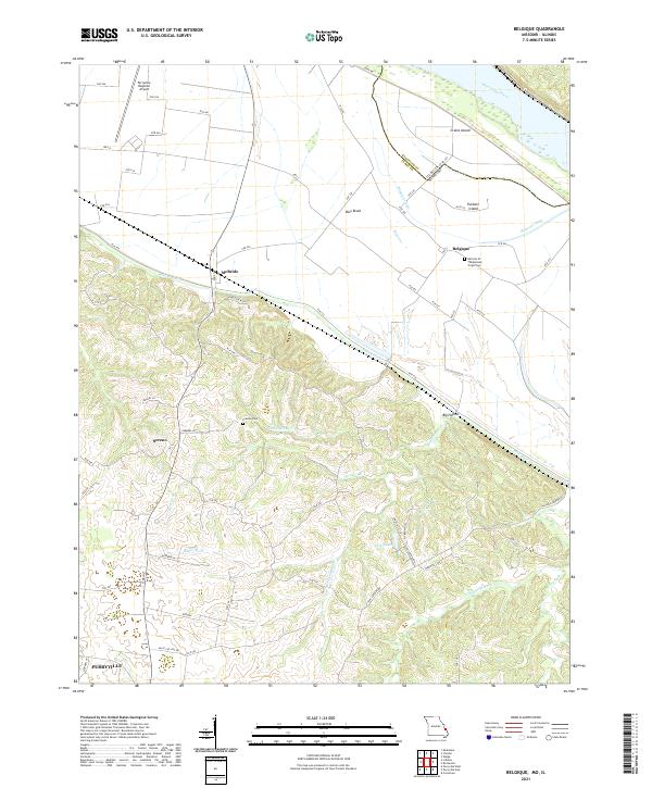
2021 Map of Belgique
USGS Topo · Published 2021About this map
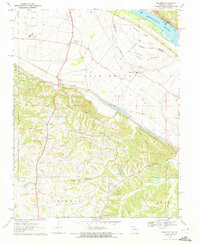
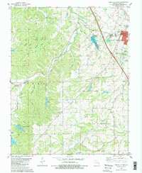
The Mississippi River defines the northeastern boundary of this landscape, where the state line shifts between Illinois and Missouri through the waters of the Missouri Chute. The lowland plains of the Bois Brule district are heavily marked by drainage features like Bois Brule Cr and the complex shoreline of Crains Island. This area serves as a transition between the river bottomlands and the rising elevations to the southwest, where the settlement of Sereno and the northern reaches of Perryville are located.
Find a feature on this map
69 named features on this map. Tap any name to fly to it.
Don’t see what you’re looking for? This feature index may not catch every label — zoom into the map to look around manually.
Map Details
Editions of this 2021 Belgique Map
This is the sole edition of this map. No revisions or reprints were ever made.
Historical Maps of Perryville Through Time
16 maps found
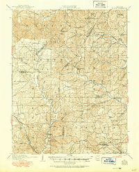
1910 Higdon
Perry County, MO
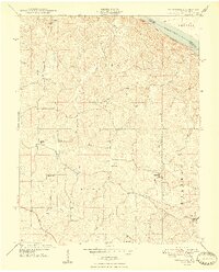
1947 Crosstown
Perry County, MO
1948 Crosstown
Perry County, MO
1959 Higdon
Perry County, MO
1959 Parker Lake
Perry County, MO
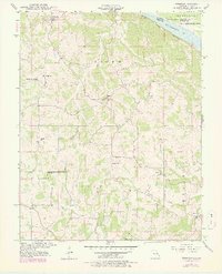
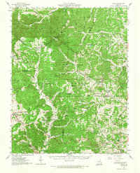
1970 Belgique
Perry County, MO
1980 Perryville East
Perry County, MO
1980 Perryville West
Perry County, MO
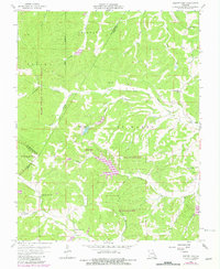
1993 Belgique
Perry County, MO
1993 Crosstown
Perry County, MO
2000 Parker Lake
Perry County, MO
2021 Belgique
Perry County, MO
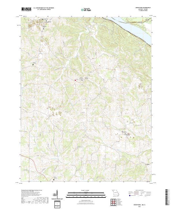
2021 Crosstown
Perry County, MO
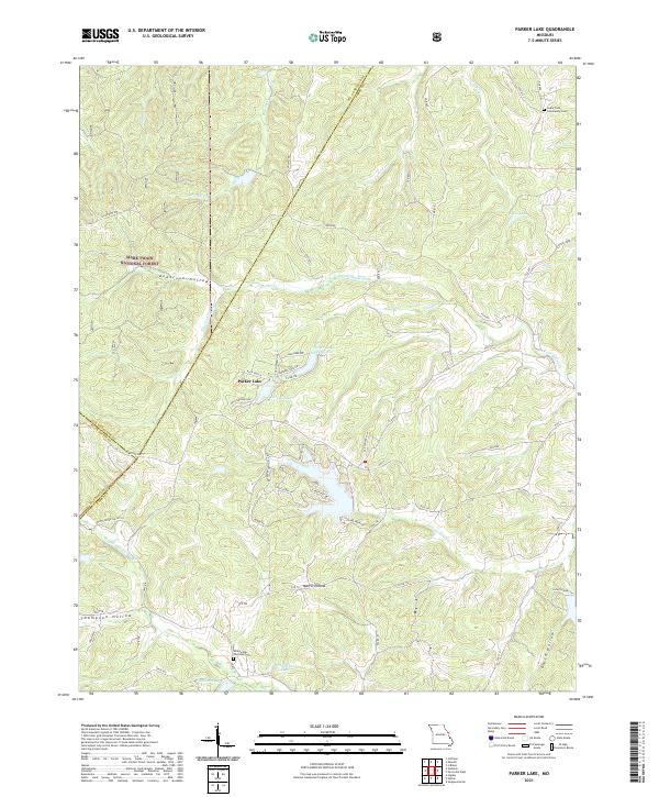
2021 Parker Lake
Perry County, MO
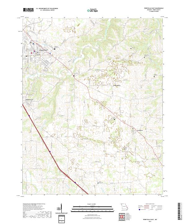
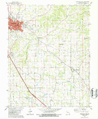
2021 Perryville East
Perry County, MO
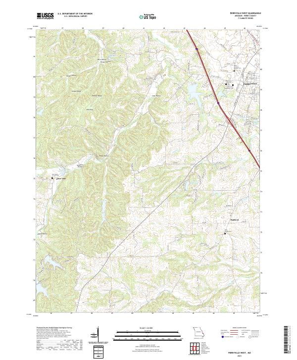
2021 Perryville West
Perry County, MO