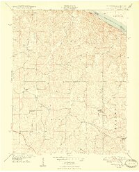
1947 Map of Crosstown
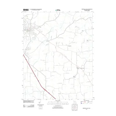
USGS Topo · Published 1978About this map
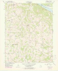
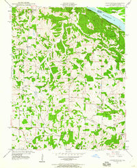
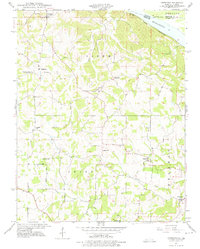
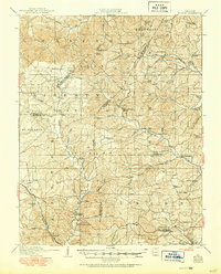
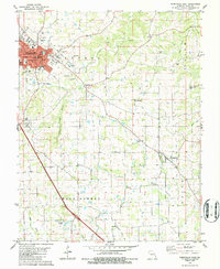
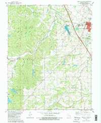
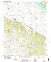
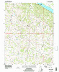
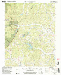
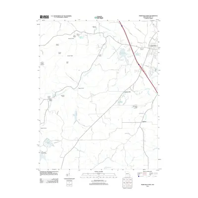
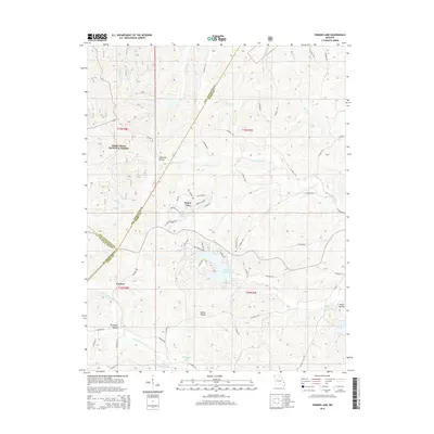
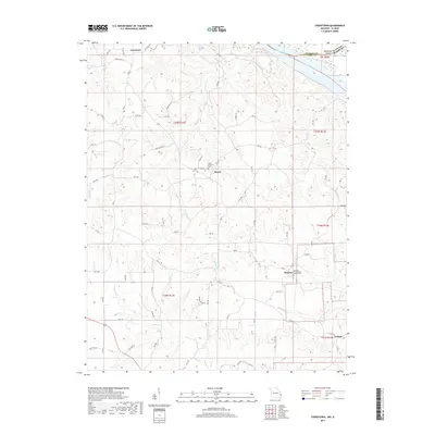
The Mississippi River defines the northeastern boundary of this survey, with Wilkinson Island situated near the confluence of the river's main channel and the winding Omete Creek. This rural landscape in Perry County is characterized by a dense network of local landmarks that suggest a tightly knit agrarian society in the late 1940s. A high concentration of one-room schools, including Hager Sch, Swan Sch, and Trickey Sch, are scattered among the ridges and valleys between the settlements of Crosstown, Farrar, and Brazeau. To the north, the San Francisco railroad line skirts the riverbank, connecting this upland farming region to wider trade routes. Significant local markers like the Pleasant Grove Ch and Fiehler Sch provide precise locations for genealogists and local historians tracing family roots in the townships of Salem and Union.
Find a feature on this map
24 named features on this map. Tap any name to fly to it.
Don’t see what you’re looking for? This feature index may not catch every label — zoom into the map to look around manually.
Map Details
Editions of this 1947 Crosstown Map
3 editions found
Historical Maps of Frohna Through Time
31 maps found
1910 Higdon
Perry County, MO
1947 Crosstown
Perry County, MO
1948 Crosstown
Perry County, MO
1959 Higdon
Perry County, MO
1959 Parker Lake
Perry County, MO
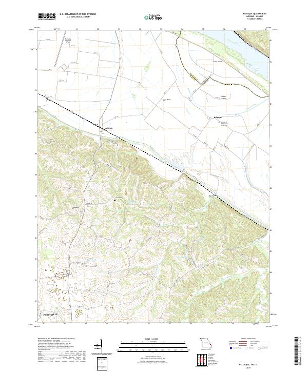
1970 Belgique
Perry County, MO
1980 Perryville East
Perry County, MO
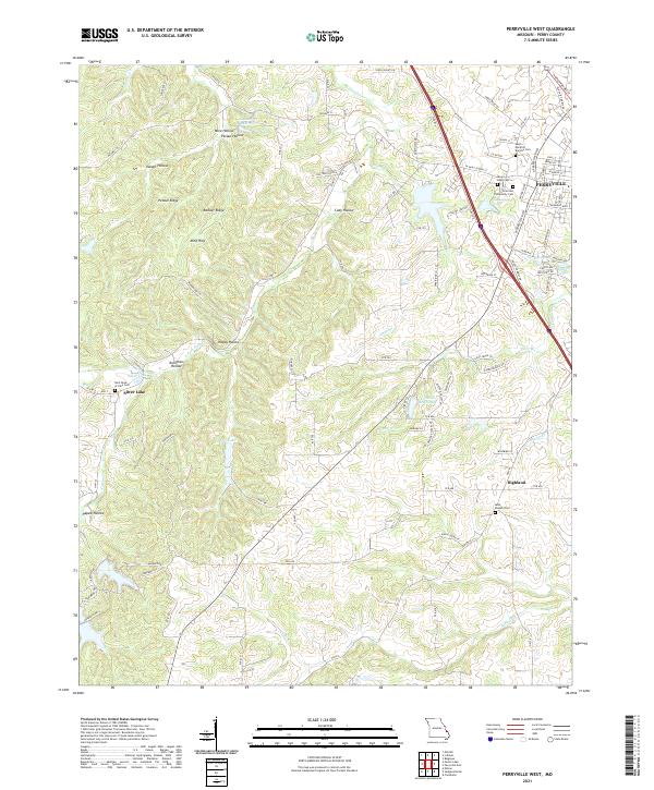
1980 Perryville West
Perry County, MO
1993 Belgique
Perry County, MO
1993 Crosstown
Perry County, MO
2000 Parker Lake
Perry County, MO
2011 Parker Lake
Perry County, MO
2012 Belgique
Perry County, MO
2012 Crosstown
Perry County, MO
2012 Perryville East
Perry County, MO
2012 Perryville West
Perry County, MO
2015 Belgique
Perry County, MO
2015 Crosstown
Perry County, MO
2015 Parker Lake
Perry County, MO
2015 Perryville East
Perry County, MO
2015 Perryville West
Perry County, MO
2017 Belgique
Perry County, MO
2017 Crosstown
Perry County, MO
2017 Parker Lake
Perry County, MO
2017 Perryville East
Perry County, MO
2017 Perryville West
Perry County, MO
2021 Belgique
Perry County, MO
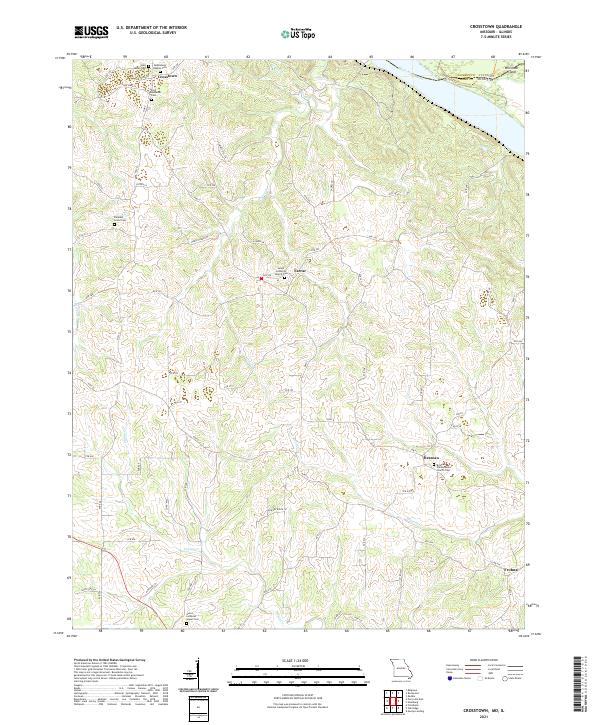
2021 Crosstown
Perry County, MO
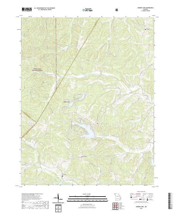
2021 Parker Lake
Perry County, MO
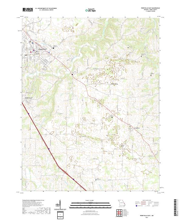
2021 Perryville East
Perry County, MO
2021 Perryville West
Perry County, MO