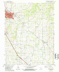
1980 Map of Perryville East
USGS Topo · Published 1986About this map
The county seat of Perryville anchors the northwest corner of this southeastern Missouri survey, displaying a detailed street grid including Grand Ave and Walnut St. Central to the town is the courthouse and the St Vincent High Sch, reflecting the community's established civic and educational foundations. Moving southeast from the urban center, the landscape transitions into the agricultural terrain of the Salem and Cinque Hommes townships.
Find a feature on this map
39 named features on this map. Tap any name to fly to it.
Don’t see what you’re looking for? This feature index may not catch every label — zoom into the map to look around manually.
Map Details
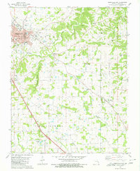
Editions of this 1980 Perryville East Map
2 editions found
Other maps of this area

1915 · Chester
USGS Topo · 1:62,500

1916 · Campbell Hill
USGS Topo · 1:62,500

1918 · Altenburg
USGS Topo · 1:62,500

1918 · Campbell Hill
USGS Topo · 1:62,500

1923 · Perryville
USGS Topo · 1:62,500

1924 · Perryville
USGS Topo · 1:62,500

1925 · Altenburg
USGS Topo · 1:62,500

1947 · Chester
USGS Topo · 1:62,500

1947 · Crosstown
USGS Topo · 1:24,000

1947 · Oak Ridge
USGS Topo · 1:24,000