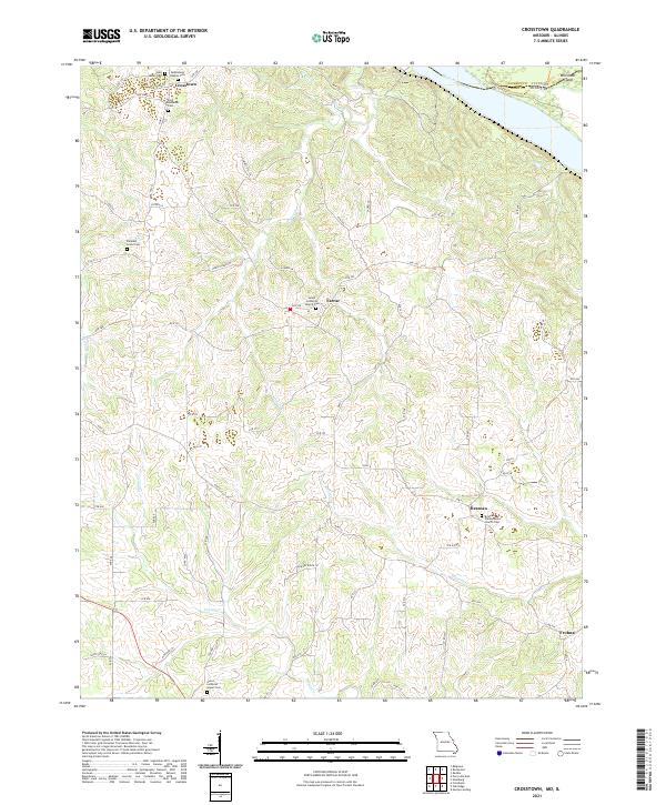
2021 Map of Crosstown
USGS Topo · Published 2021About this map
Crosstown and its neighboring rural communities in Perry County define this landscape along the western bluffs of the Mississippi River. The settlement pattern is deeply rooted in local congregational history, evidenced by the numerous church-centered cemeteries that anchor the hillsides, such as Salem Lutheran Church Cem at Farrar and Brazeau Presbyterian Church Cem in Brazeau. These sites, along with Zion Lutheran Cem and Bethlehem Baptist Cem, reflect the religious and familial foundations of the area.
Find a feature on this map
73 named features on this map. Tap any name to fly to it.
Don’t see what you’re looking for? This feature index may not catch every label — zoom into the map to look around manually.
Map Details
Editions of this 2021 Crosstown Map
This is the sole edition of this map. No revisions or reprints were ever made.
Other maps of this area

1915 · Chester
USGS Topo · 1:62,500

1916 · Campbell Hill
USGS Topo · 1:62,500

1918 · Altenburg
USGS Topo · 1:62,500

1918 · Campbell Hill
USGS Topo · 1:62,500

1923 · Perryville
USGS Topo · 1:62,500

1924 · Perryville
USGS Topo · 1:62,500

1925 · Altenburg
USGS Topo · 1:62,500

1947 · Chester
USGS Topo · 1:62,500

1947 · Crosstown
USGS Topo · 1:24,000

1947 · Oak Ridge
USGS Topo · 1:24,000