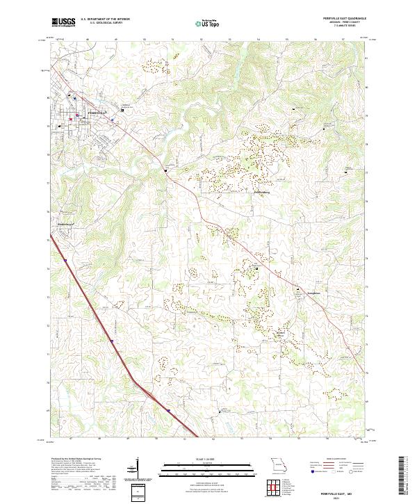
2021 Map of Perryville East
USGS Topo · Published 2021About this map
Perryville serves as the regional anchor on this survey, where the Perry County Courthouse stands at the center of a developing street grid that includes W Wichern Rd and N Kingshighway St. The landscape beyond the city limits is defined by a dense network of Lutheran heritage sites and rural hamlets, reflecting the deep German-American roots of the region. Notable burial grounds and community centers like the Immanuel Lutheran Cem, Friedenberg Cem, and Zion Lutheran Cem are clustered along the drainage of Cinque Hommes Cr. Further south, the map details the smaller settlements of Friedenberg and Longtown, connected by the winding route of Hwy B. The terrain transitions into more pronounced relief near Bedwell Hollow, where numerous small streams like Schamburg Springs Br and Black Haw Br carve through the Missouri countryside.
Find a feature on this map
118 named features on this map. Tap any name to fly to it.
Don’t see what you’re looking for? This feature index may not catch every label — zoom into the map to look around manually.
Map Details
Editions of this 2021 Perryville East Map
This is the sole edition of this map. No revisions or reprints were ever made.
Other maps of this area

1915 · Chester
USGS Topo · 1:62,500

1916 · Campbell Hill
USGS Topo · 1:62,500

1918 · Altenburg
USGS Topo · 1:62,500

1918 · Campbell Hill
USGS Topo · 1:62,500

1923 · Perryville
USGS Topo · 1:62,500

1924 · Perryville
USGS Topo · 1:62,500

1925 · Altenburg
USGS Topo · 1:62,500

1947 · Chester
USGS Topo · 1:62,500

1947 · Crosstown
USGS Topo · 1:24,000

1947 · Oak Ridge
USGS Topo · 1:24,000