2020s Maps of Pike County, Missouri
Explore 26 historic maps of Pike County from the 2020s. These maps offer a rare glimpse into what life looked like during the 2020s — showing old roads, neighborhoods, homes, and landmarks that have changed or disappeared over time.
Whether you're researching your family's past, planning a metal detecting trip, or studying how Pike County's landscape evolved across the 2020s, these high-resolution maps are a powerful tool for exploring the history of this region.
- Focus on a specific era: All maps on this page are from the 2020s, giving you a focused view of this time period.
- See what’s changed: Compare century-old streets, trails, and buildings to today's modern landscape using overlays and satellite layers.
- Research with precision: Use these maps for genealogy, historical research, land use analysis, or educational projects.
- View, download, or print: Maps are fully viewable online in high resolution, and can be downloaded or printed for your own records.
Start exploring Pike County's history through authentic maps from the 2020s. This is your window into the past.
Pike County, MO maps
(26)- 2021 Map of Rockport, 2021 Print
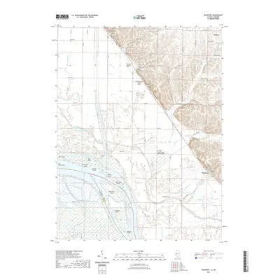 2021 Rockport2021 Print · USGSPike County river lands meet the bluffs in the early twenty-first century, showing a landscape defined by the Mississippi River and its managed backwaters. Researchers can trace family history through several burial sites like Samuel Taylor Cem and Rockport Cem or locate the various ditches and basins like The Sny.
 - 2021 Map of Hamburg, 2021 Print
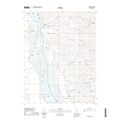 2021 Hamburg2021 Print · USGSThe Illinois-Missouri borderlands along the Mississippi River are shown here in detail during the early 2020s. Genealogists and historians can trace the bluff-side community of Hamburg, locate family plots at Gresham Cem, and explore the river's many reaches from Thomas Chute to Birch Island.
 - 2021 Map of Pleasant Dale Valley, 2021 Print
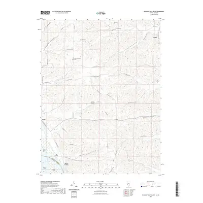 2021 Pleasant Dale Valley2021 Print · USGSIn the early twenty-first century, the Mississippi riverfront near the Calhoun and Pike county line reveals a landscape of deep hollows and river landings. Trace family sites at Hillcrest Cem, find the Herrens Bess Hollow Airfield, and explore the shoreline near Mozier Landing.
 - 2021 Map of Pleasant Hill West, 2021 Print
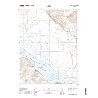 2021 Pleasant Hill West2021 Print · USGSThe Mississippi River bottoms along the Illinois and Missouri border are revealed here in the early twenty-first century. Genealogists and historians can trace local family landmarks like Galloway Cem and Crescent Heights Cem or the riverfront settlements of Clarksville and McIntosh.
 - 2021 Map of Clarksville, 2021 Print
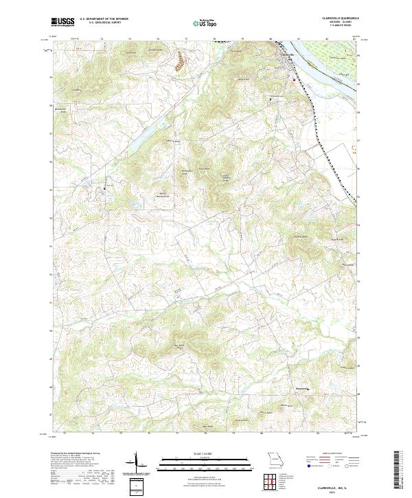 2021 Clarksville2021 Print · USGSThe riverfront of the Mississippi meets the high knobs of Pike County in the early 2020s. Researchers can trace the layout of Clarksville and Paynesville alongside family landmarks like Ben Watts Knob and the historic Greenwood Cem.
 - 2021 Map of Elsberry, 2021 Print
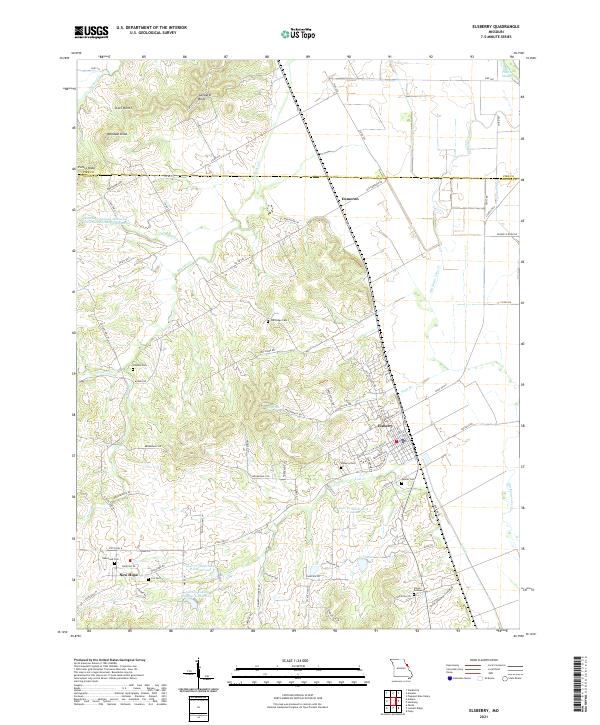 2021 Elsberry2021 Print · USGSThe bluffs above the Mississippi River valley are well-defined in this recent survey of the Elsberry area. Genealogists and local historians can trace family roots through numerous burial grounds like New Hope Cem, Palmer Cem, and Cox Cem.
 - 2021 Map of Auburn, 2021 Print
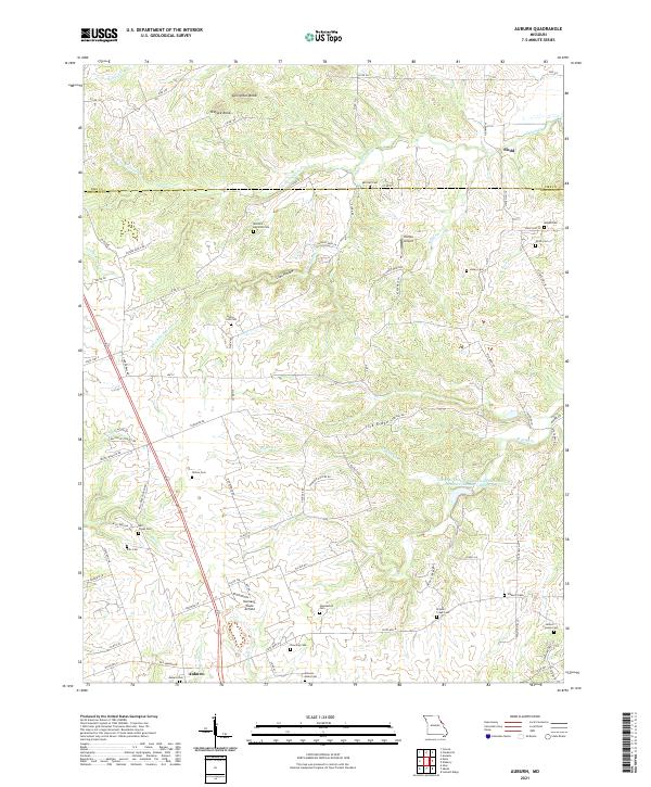 2021 Auburn2021 Print · USGSLincoln and Pike Counties at the start of the 2020s reveal a deeply rooted rural landscape of family farms and ancestral burial grounds. Genealogists can trace family names at Elsberry Cemetery, Mitchell-Reynolds Cemetery, and the old crossroads of Auburn.
 - 2021 Map of Annada, 2021 Print
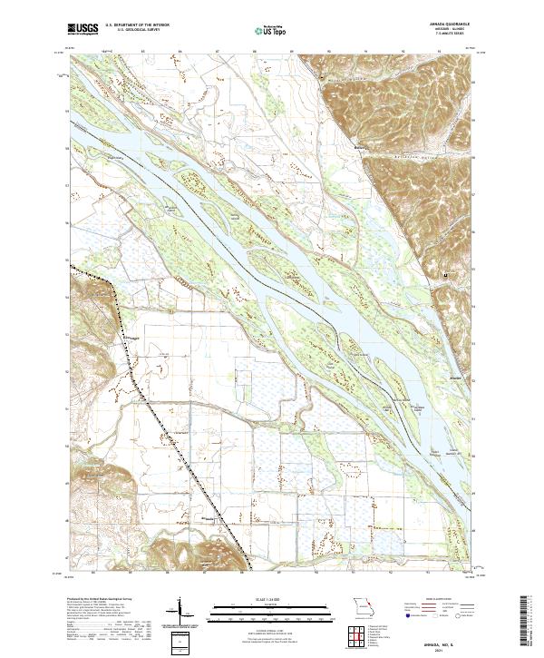 2021 Annada2021 Print · USGSThe Mississippi River floodplain comes alive in the early 2020s, showing the complex network of islands and sloughs between Missouri and Illinois. Researchers can trace local landmarks like Saltpeter Bluff, the settlement of Annada, and family burial sites at Long Cem.
 - 2021 Map of Curryville, 2021 Print
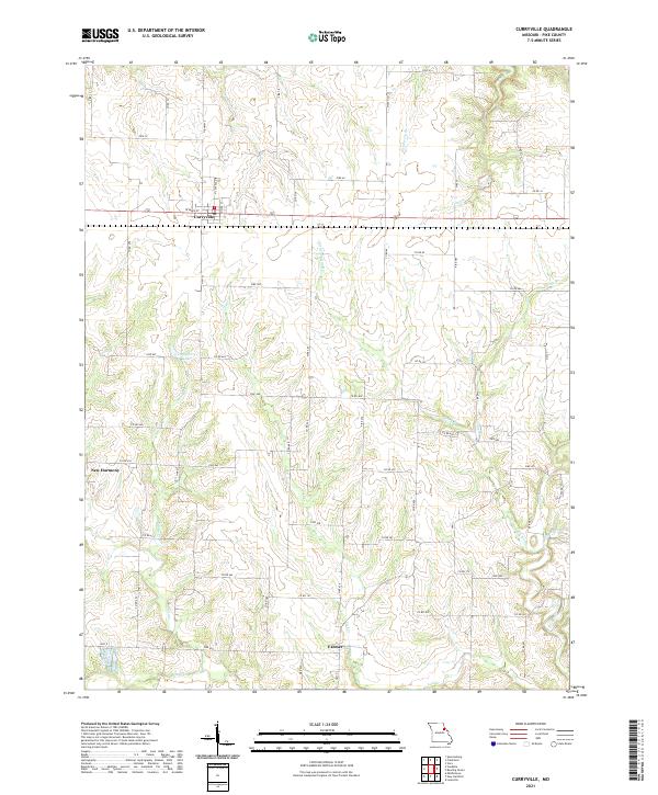 2021 Curryville2021 Print · USGSMid-Missouri's agricultural heartland is documented here in the early twenty-first century, centered on the historic town of Curryville. Genealogists and local historians can trace the rural communities of Farmer and New Harmony along with local waters like Lick Cr and Dougherty Lake.
 - 2021 Map of Hannibal SE, 2021 Print
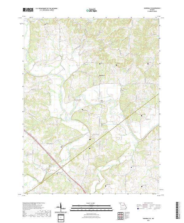 2021 Hannibal SE2021 Print · USGSNortheast Missouri’s river country comes into focus in this recent survey of the Ralls and Pike County border. Genealogists can locate over a dozen family burial grounds including Epperson Cem, Tapley Cem, and Sinklear Cem along the winding Salt River.
 - 2021 Map of Eolia, 2021 Print
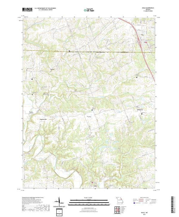 2021 Eolia2021 Print · USGSThe Pike and Lincoln County border comes alive in this contemporary survey, showing the agricultural heartland between Eolia and Silex. Researchers can trace local heritage through numerous family burial sites like Morris Cem and the Lewis Meriwether Cem.
 - 2021 Map of Vandalia, 2021 Print
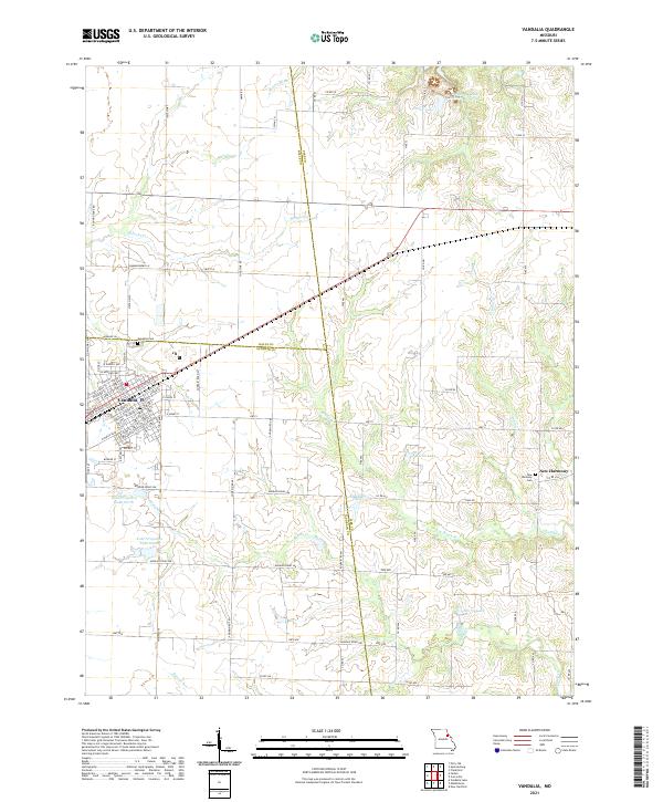 2021 Vandalia2021 Print · USGSThe community of Vandalia and the neighboring settlement of New Harmony appear here amidst a landscape of agricultural water management and family landmarks. Genealogists can locate burials at Vandalia Cem or trace the drainage of McDowell Br through the tri-county borderlands.
 - 2021 Map of Louisville, 2021 Print
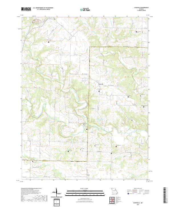 2021 Louisville2021 Print · USGSThe Pike and Lincoln county line comes alive in this contemporary survey of Missouri's rural heartland. Genealogists and local historians can trace family land and burial sites across dozens of named landmarks like Grimmett Cem, Corso, and Grimmett Bridge.
 - 2021 Map of Frankford, 2021 Print
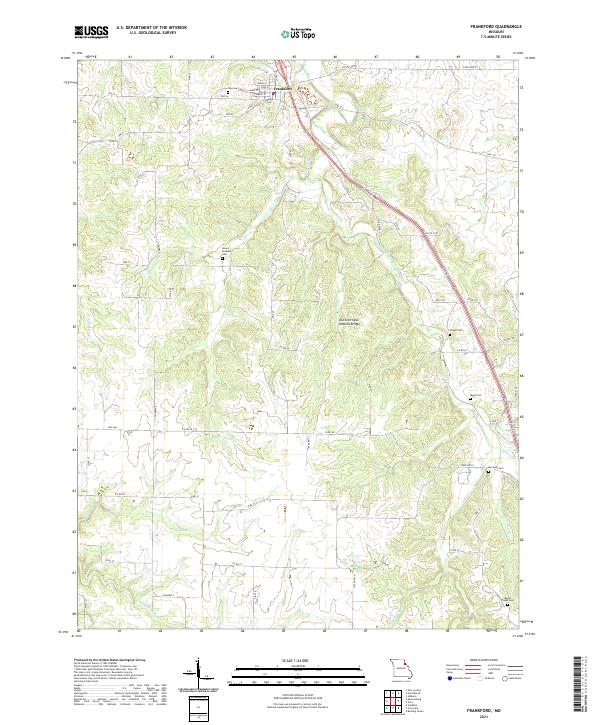 2021 Frankford2021 Print · USGSFrankford and the surrounding Pike County hills are mapped here during the early twenty-first century, showing a landscape of deep creek valleys and rural farm roads. Genealogists can locate family burial grounds like Mount Pleasant Cem and Wright Cem or trace the path to DuChien Cave Natural Bridge.
 - 2021 Map of New Hartford, 2021 Print
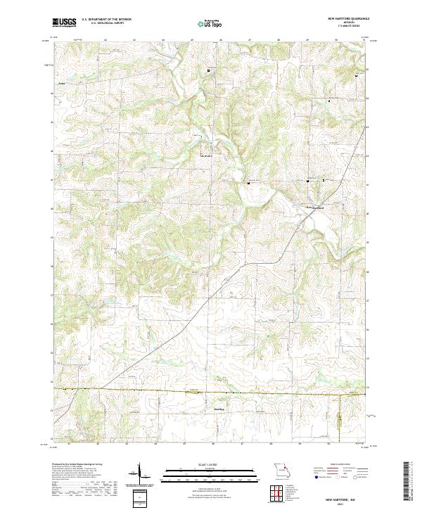 2021 New Hartford2021 Print · USGSNear the intersection of three Missouri counties in the early twenty-first century, this landscape remains a deeply rural agricultural patchwork. Genealogists and historians can locate numerous small family burial sites like Willis Cem and Wright Cem along with the settlements of New Hartford and Marling.
 - 2021 Map of Middletown, 2021 Print
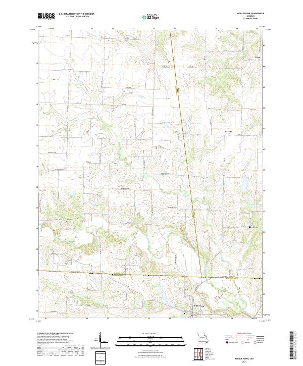 2021 Middletown2021 Print · USGSMiddletown and its surrounding tri-county farm country are captured here in the early twenty-first century. Researchers can trace family-named sites and rural landmarks like Payne Cem, Rudd School Cem, and the small community of Gazette.
 - 2021 Map of Bowling Green, 2021 Print
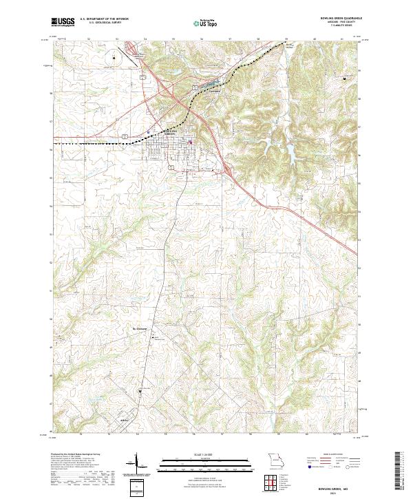 2021 Bowling Green2021 Print · USGSBowling Green and its surrounding Pike County farmland are shown in detail as they appeared in 2021. Genealogists and local historians can locate family burial sites at Saint Clement Cem or Fairview Cem and trace the rural layouts of St. Clement and Ashley.
 - 2021 Map of Louisiana, 2021 Print
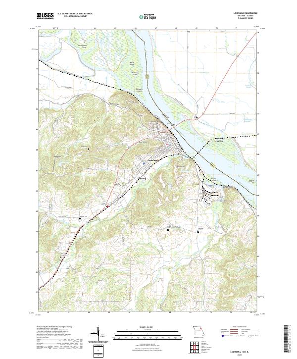 2021 Louisiana2021 Print · USGSLouisiana and the Mississippi River bottoms are captured here in the early twenty-first century. Family historians can trace local landmarks like Riverview Cem, Bethany Cem, and the river crossing at the Champ Clark Bridge.
 - 2021 Map of Spencerburg, 2021 Print
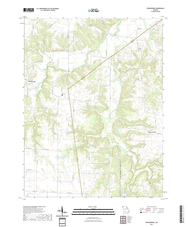 2021 Spencerburg2021 Print · USGSThe borderlands of Pike and Ralls counties come into focus in this recent look at a deeply rooted Missouri agricultural region. Genealogists and local researchers can trace the area around Spencerburg and Madisonville, locating landmarks like Adiel Cem and Neal Pond.
 - 2021 Map of Cyrene, 2021 Print
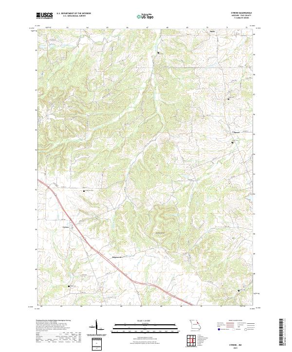 2021 Cyrene2021 Print · USGSPike County's rural heartland is preserved here in the early twenty-first century, showing the enduring agricultural character of the Missouri landscape. Genealogists can trace family roots through numerous burial sites like Hickerson Cem and Gibbs Cem near the historic crossroads of Cyrene.
 - 2021 Map of Vera, 2021 Print
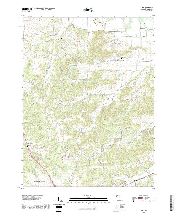 2021 Vera2021 Print · USGSThe rural uplands of Pike County are shown in detail as they appeared in 2021, centered between the growing hub of Bowling Green and the Salt River. Genealogists can trace family heritage through numerous landmarks like Gailey Cem, Mc Elwee Cem, and the settlement at Vera.
 - 2021 Map of Ashburn, 2021 Print
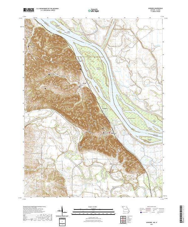 2021 Ashburn2021 Print · USGSThe Mississippi River bottoms of Pike County come into focus in this contemporary survey of the Missouri-Illinois border. Local historians can trace the relationship between river communities like Ashburn and Busch and family landmarks such as Jolly Cem and Pickerton Hill.
 - 2024 Map of Pleasant Dale Valley, 2024 Print
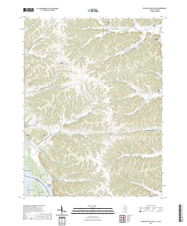 2024 Pleasant Dale Valley2024 Print · USGSThe Mississippi River floodplain and the rugged bluffs of Calhoun County are captured here in the early 2020s. Researchers can locate family burial sites like Hillcrest Cem or trace the river landings at Mozier Landing and the small community of Cliffdale.
 - 2024 Map of Rockport, 2024 Print
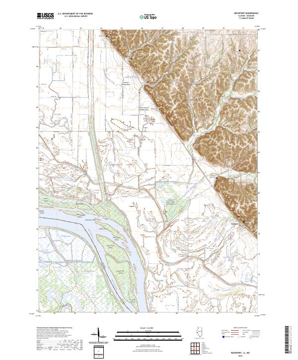 2024 Rockport2024 Print · USGSModern Pike County river life meets deep family roots in this recent survey of the Illinois riverbanks. Researchers can trace land tracts near the Mississippi River and locate secluded family plots like Wallace Farm Cem and Samuel Taylor Cem.
 - 2024 Map of Pleasant Hill West, 2024 Print
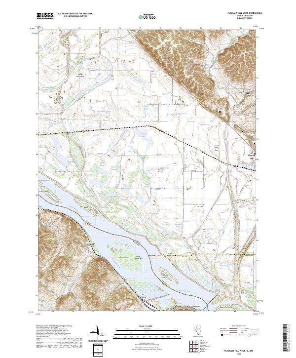 2024 Pleasant Hill West2024 Print · USGSThe Mississippi River bottoms of Pike County come to life in this recent survey of the Illinois-Missouri border. Genealogists and local historians can trace family plots at Crescent Heights Cem and Sapp Cem or explore the shifting banks of The Sny.
Showing maps 1-25 of 26
Top cities of Pike County
- Bowling Green historical maps
- Louisiana historical maps
- Clarksville historical maps
- Eolia historical maps
- Frankford historical maps
- Curryville historical maps
See more
Frequently asked questions
- What are the different types of historical maps available for Pike County?
- What is the oldest map of Pike County?
- Where can I purchase historical maps of Pike County for my home or office?
- Where can I download high-res historical maps of Pike County?
- Are there historical topographic maps available for Pike County?
- Is there historical aerial imagery available for Pike County?
- Where are historical maps of Pike County sourced from?