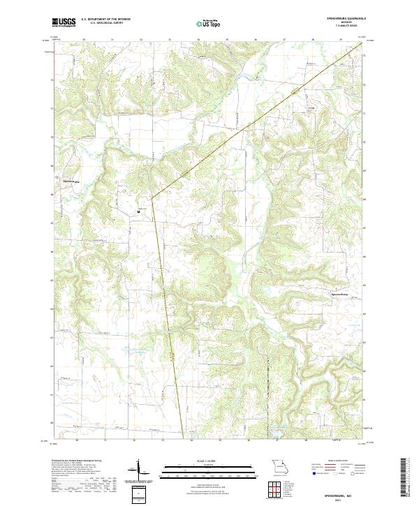
2021 Map of Spencerburg
USGS Topo · Published 2021About this map
Spencerburg and Madisonville anchor this agricultural landscape in rural Missouri along the border of Pike and Ralls counties. The topography is defined by the drainage systems of Spencer Creek and its many tributaries, including South Spencer Creek, Crooked Cr, and Denny Run. These waterways create a series of low ridges and valleys that dictate the placement of county roads and long-standing property boundaries.
Find a feature on this map
64 named features on this map. Tap any name to fly to it.
Don’t see what you’re looking for? This feature index may not catch every label — zoom into the map to look around manually.
Map Details
Editions of this 2021 Spencerburg Map
This is the sole edition of this map. No revisions or reprints were ever made.
Other maps of this area

1890 · Louisiana
USGS Topo · 1:125,000

1890 · Mexico
USGS Topo · 1:125,000

1903 · Palmyra
USGS Topo · 1:125,000

1932 · Hannibal
USGS Topo · 1:62,500

1936 · Hannibal
USGS Topo · 1:48,000

1943 · Vandalia
USGS Topo · 1:62,500

1945 · Hannibal
USGS Topo · 1:62,500

1945 · Perry
USGS Topo · 1:62,500

1945 · Vandalia
USGS Topo · 1:62,500

1948 · Quincy
USGS Topo · 1:250,000