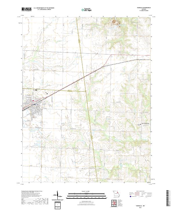
2021 Map of Vandalia
USGS Topo · Published 2021About this map
Vandalia serves as the primary hub of this eastern Missouri landscape, situated at the intersection of Audrain, Pike, and Ralls counties. The town's grid is well-defined by a network of streets including W Washington St and W Park St, anchored to the north by the Vandalia Cem. Beyond the town limits, the terrain is characterized by a sophisticated irrigation and water management system, evidenced by numerous man-made bodies of water like the Weldon B. 'Pete' Steiner Reservoir, Kohl Irrigation Lake North, and Kohl Lake West. To the southeast, the small settlement of New Harmony remains a distinct point of interest, complete with its own New Harmony Cem. Natural drainage follows the winding paths of Spencer Cr and Indian Cr, while the surrounding agricultural lands are accessed by a dense grid of county roads.
Find a feature on this map
99 named features on this map. Tap any name to fly to it.
Don’t see what you’re looking for? This feature index may not catch every label — zoom into the map to look around manually.
Map Details
Editions of this 2021 Vandalia Map
This is the sole edition of this map. No revisions or reprints were ever made.
Other maps of this area

1890 · Louisiana
USGS Topo · 1:125,000

1890 · Mexico
USGS Topo · 1:125,000

1942 · Wellsville
USGS Topo · 1:62,500

1942 · Bellflower
USGS Topo · 1:62,500

1943 · Vandalia
USGS Topo · 1:62,500

1945 · Bellflower
USGS Topo · 1:62,500

1945 · Perry
USGS Topo · 1:62,500

1945 · Vandalia
USGS Topo · 1:62,500

1948 · Quincy
USGS Topo · 1:250,000

1956 · Quincy
USGS Topo · 1:250,000