2010s Maps of Pike County, Missouri
Explore 66 historic maps of Pike County from the 2010s. These maps offer a rare glimpse into what life looked like during the 2010s — showing old roads, neighborhoods, homes, and landmarks that have changed or disappeared over time.
Whether you're researching your family's past, planning a metal detecting trip, or studying how Pike County's landscape evolved across the 2010s, these high-resolution maps are a powerful tool for exploring the history of this region.
- Focus on a specific era: All maps on this page are from the 2010s, giving you a focused view of this time period.
- See what’s changed: Compare century-old streets, trails, and buildings to today's modern landscape using overlays and satellite layers.
- Research with precision: Use these maps for genealogy, historical research, land use analysis, or educational projects.
- View, download, or print: Maps are fully viewable online in high resolution, and can be downloaded or printed for your own records.
Start exploring Pike County's history through authentic maps from the 2010s. This is your window into the past.
Pike County, MO maps
(66)- 2011 Map of Clarksville, 2011 Print
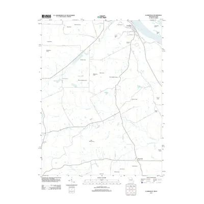 2011 Clarksville2011 Print · USGSUpper Mississippi River riverfront and the prominent knobs of Pike County are shown here in the early twenty-first century. Researchers can trace family history through landmarks like Greenwood Cemetery and numerous named peaks such as Marion Mackey Knob and Ben Watts Knob.
 - 2011 Map of Annada, 2011 Print
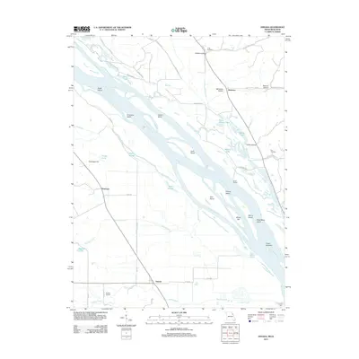 2011 Annada2011 Print · USGSThe riverfront and floodplain south of Clarksville are mapped here in the early twenty-first century. Genealogists and local historians can trace family-named features and rural sites like Long Cemetery, Riprap Landing, and the settlement of Annada.
 - 2011 Map of Elsberry, 2011 Print
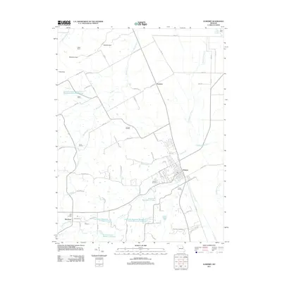 2011 Elsberry2011 Print · USGSLincoln County, Missouri, is shown here as it transitioned into the early twenty-first century, balancing rural homesteads with sophisticated watershed management. Researchers can locate family landmarks like Oak Ridge Cemetery, Barton School, and the Vance-Seaman Cemetery.
 - 2011 Map of Auburn, 2011 Print
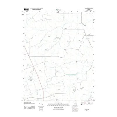 2011 Auburn2011 Print · USGSThe rural landscape near Auburn and Sledd was carefully documented just after the turn of the millennium. Genealogists can locate numerous family-named burial grounds like Mitchell Cemetery, Nelson-Cannon Cemetery, and the White Swan School.
 - 2012 Map of Vandalia, 2012 Print
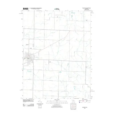 2012 Vandalia2012 Print · USGSVandalia and its rural surrounds are detailed here during the early twenty-first century, showing a landscape of family-named roads and reservoirs. Genealogists and local historians can trace sites like Vandalia Cemetery, Elm Grove School, and the New Harmony Cemetery.
 - 2012 Map of New Hartford, 2012 Print
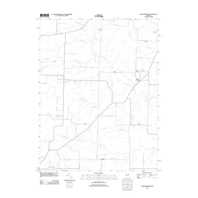 2012 New Hartford2012 Print · USGSIn the early twenty-first century, Pike County maintains its deeply rooted rural character through small settlements and family-named landmarks. Genealogists and local historians can trace the sites of the Hopke School and Union School or locate family burial grounds like Harelson Cemetery and Willis Cemetery.
 - 2012 Map of Hannibal SE, 2012 Print
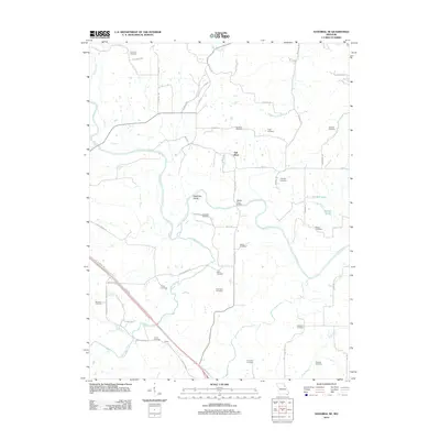 2012 Hannibal SE2012 Print · USGSRalls County's rural landscape is captured here as it appeared in the early 2010s, centered on the winding path of the Salt River. Family historians can trace numerous burial grounds including Epperson Cemetery, Kiethley Cemetery, and Briscoe Cemetery.
 - 2012 Map of Eolia, 2012 Print
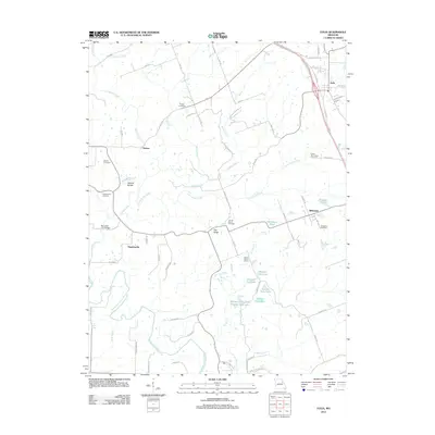 2012 Eolia2012 Print · USGSThe Pike County uplands south of Eolia are shown in this 2012 survey, capturing a landscape of family cemeteries and rural school sites. Genealogists and hikers can trace connections at the Lewis-Meriwether Cemetery, Prairie Flower School, and the Natural Bridge.
 - 2012 Map of Vera, 2012 Print
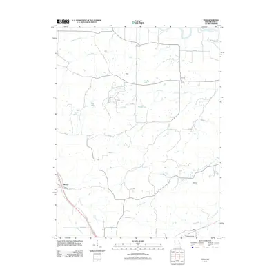 2012 Vera2012 Print · USGSEastern Pike County comes into focus in the early 2010s, showcasing a landscape of creek-fed farms and generational family cemeteries. Genealogists and local historians can trace legacy landmarks like McElwee Cemetery, the Three Churches site, and the rural settlement of Reading.
 - 2012 Map of Spencerburg, 2012 Print
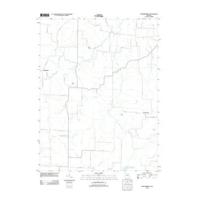 2012 Spencerburg2012 Print · USGSPike County's rural townships and creek-side settlements are captured here during the early 2010s. Researchers can locate long-standing landmarks like Adiel Cemetery and the Seely School, or trace the winding course of Spencer Creek.
 - 2012 Map of Curryville, 2012 Print
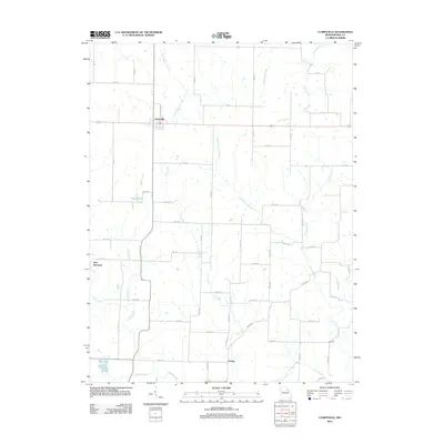 2012 Curryville2012 Print · USGSPike County's rural heartland is documented here in the early twenty-first century, showing the enduring agricultural grid and water networks of the region. Researchers can trace family roots and land patterns near Curryville, New Harmony, and the waters of Lick Creek.
 - 2012 Map of Frankford, 2012 Print
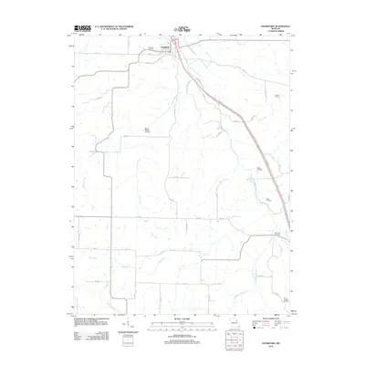 2012 Frankford2012 Print · USGSNorthwestern Pike County comes into focus in this recent survey, capturing the agricultural heartland around the town of Frankford. Local historians can trace family roots through several rural sites like Fairview Cemetery, McCunes Cemetery, and the Martin School near the banks of Peno Creek.
 - 2012 Map of Bowling Green, 2012 Print
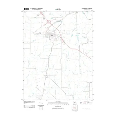 2012 Bowling Green2012 Print · USGSThe Bowling Green area in the early 2010s reflects a deep-rooted agricultural and civic history at the heart of Pike County. Researchers can locate family landmarks like Saint Clement Cemetery and Smith Cemetery or trace the waterways of Cuivre Creek.
 - 2012 Map of Middletown, 2012 Print
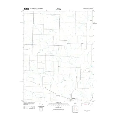 2012 Middletown2012 Print · USGSMiddletown and the surrounding Missouri countryside appear here in the early twenty-first century, showing a landscape of quiet rural crossroads. Researchers can trace local roots at the Fairmount Cemetery, Culwell School, and the outlying settlement of Gazette.
 - 2012 Map of Cyrene, 2012 Print
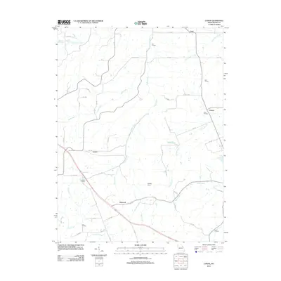 2012 Cyrene2012 Print · USGSPike County in the early 2010s remains a landscape of rolling hills and quiet rural settlements. Researchers can trace family history through several local burial grounds, including Dover Cemetery, Stark Cemetery, and the churchyards near Cyrene.
 - 2012 Map of Louisiana, 2012 Print
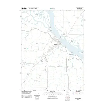 2012 Louisiana2012 Print · USGSLouisiana and its riverfront were well-established as a regional hub for commerce and travel at the start of the 2010s. Researchers can locate several historic burial grounds including Riverview and Bethany Cemetery, or trace the grounds of the Stark Nursery and Mark Twain Air Park.
 - 2012 Map of Louisville, 2012 Print
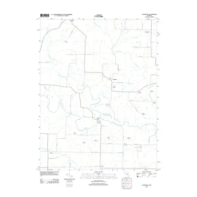 2012 Louisville2012 Print · USGSSettlement in this Lincoln County corridor was firmly established by the early 2010s around the quiet hubs of Louisville and Corso. Researchers can trace generations of local families through numerous burial sites like Grimmett Cemetery and landmarks such as Bilbro School.
 - 2012 Map of Ashburn, 2012 Print
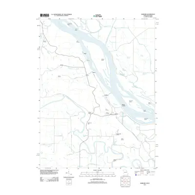 2012 Ashburn2012 Print · USGSThe Mississippi River bottoms of Pike County appear in high detail during the early 2010s, showing a landscape of sloughs and island clusters. Researchers can locate numerous local burial sites like Busch Cemetery and trace the paths of The Sny or Gilbert Chute.
 - 2012 Map of Rockport, 2012 Print
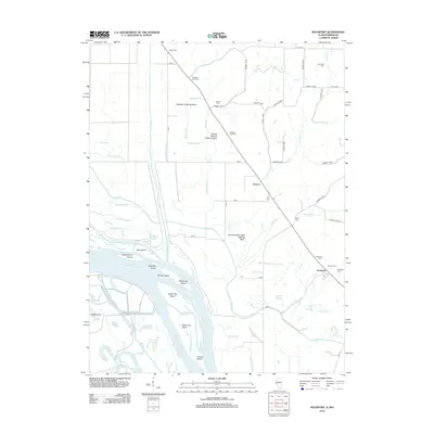 2012 Rockport2012 Print · USGSThe Mississippi River bottomlands in the early twenty-first century reveal a landscape shaped by drainage engineering and family heritage. Researchers can trace land use through the Brewster Settling Basin or locate historic burials at Rockport Cem and Taylor Cem.
 - 2012 Map of Pleasant Dale Valley, 2012 Print
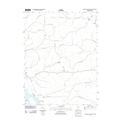 2012 Pleasant Dale Valley2012 Print · USGSCalhoun County's riverfront and bluff-bound hollows are shown here in the early twenty-first century, just as the landscape remained shaped by its rugged geography. Researchers can trace family history at Retzer Cem and Hillcrest Cem or locate rural sites like Mozier Landing and the Herrens Bess Hollow Airfield.
 - 2012 Map of Hamburg, 2012 Print
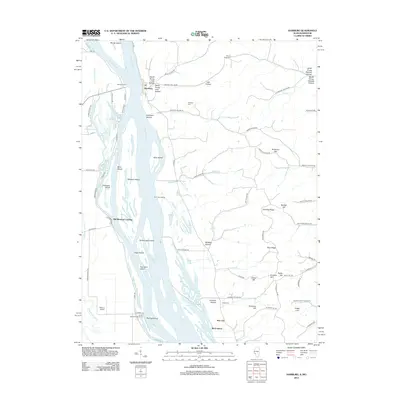 2012 Hamburg2012 Print · USGSAlong the Illinois-Missouri border in the early 2010s, the river landscape remains defined by its islands and historic ferry crossings. Researchers can trace family sites like Mount Hope Cem and follow the old river ways through Old Westport Landing and Hamburg.
 - 2012 Map of Pleasant Hill West, 2012 Print
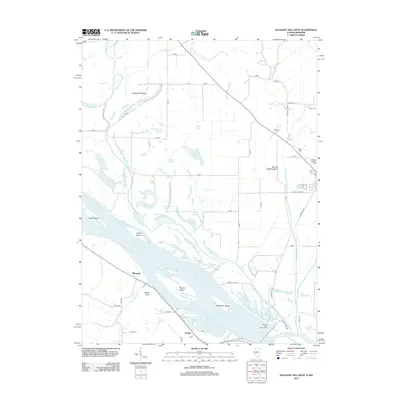 2012 Pleasant Hill West2012 Print · USGSThe Mississippi River floodplain in western Pike County is shown here during a period of modern water management and agricultural stability. Researchers can locate family burial sites at Crescent Heights Cem and Wells Cem or trace old river landings near McIntosh and Roblee.
 - 2014 Map of New Hartford, 2014 Print
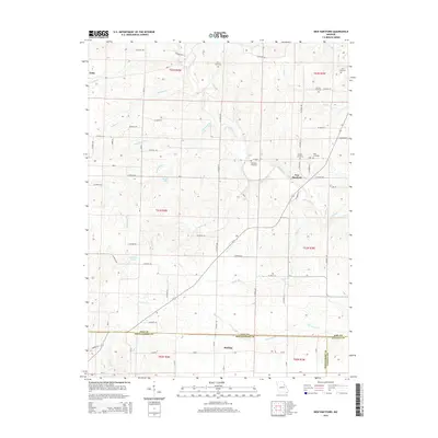 2014 New Hartford2014 Print · USGSPike and Montgomery counties are captured in this mid-2010s survey, showing the agricultural heartland of northern Missouri. Genealogists can locate several small family burial sites, including Willis Cemetery and Kerr Cemetery, alongside the rural hubs of New Hartford and Marling.
 - 2014 Map of Cyrene, 2014 Print
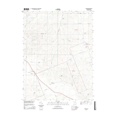 2014 Cyrene2014 Print · USGSPike County's rural communities and historic family cemeteries are preserved here during the early twenty-first century. Genealogists can locate specific burial grounds like Hickerson Cemetery or Gibbs Cemetery and trace the paths of Little Buffalo Cr near Cyrene.
 - 2014 Map of Vandalia, 2014 Print
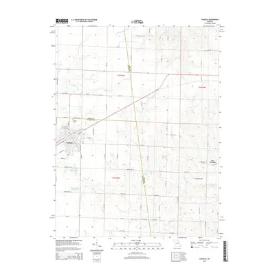 2014 Vandalia2014 Print · USGSVandalia and the surrounding tri-county borderlands of Audrain, Ralls, and Pike counties are captured here in the early twenty-first century. Researchers can trace local lineages at Vandalia Cemetery and New Harmony Cemetery or explore the network of rural routes like Round Grove Rd.
Showing maps 1-25 of 66
Top cities of Pike County
- Bowling Green historical maps
- Louisiana historical maps
- Clarksville historical maps
- Eolia historical maps
- Frankford historical maps
- Curryville historical maps
See more
Frequently asked questions
- What are the different types of historical maps available for Pike County?
- What is the oldest map of Pike County?
- Where can I purchase historical maps of Pike County for my home or office?
- Where can I download high-res historical maps of Pike County?
- Are there historical topographic maps available for Pike County?
- Is there historical aerial imagery available for Pike County?
- Where are historical maps of Pike County sourced from?