2020s Maps of Platte County, Missouri
Explore 17 historic maps of Platte County from the 2020s. These maps offer a rare glimpse into what life looked like during the 2020s — showing old roads, neighborhoods, homes, and landmarks that have changed or disappeared over time.
Whether you're researching your family's past, planning a metal detecting trip, or studying how Platte County's landscape evolved across the 2020s, these high-resolution maps are a powerful tool for exploring the history of this region.
- Focus on a specific era: All maps on this page are from the 2020s, giving you a focused view of this time period.
- See what’s changed: Compare century-old streets, trails, and buildings to today's modern landscape using overlays and satellite layers.
- Research with precision: Use these maps for genealogy, historical research, land use analysis, or educational projects.
- View, download, or print: Maps are fully viewable online in high resolution, and can be downloaded or printed for your own records.
Start exploring Platte County's history through authentic maps from the 2020s. This is your window into the past.
Platte County, MO maps
(17)- 2021 Map of Tracy, 2021 Print
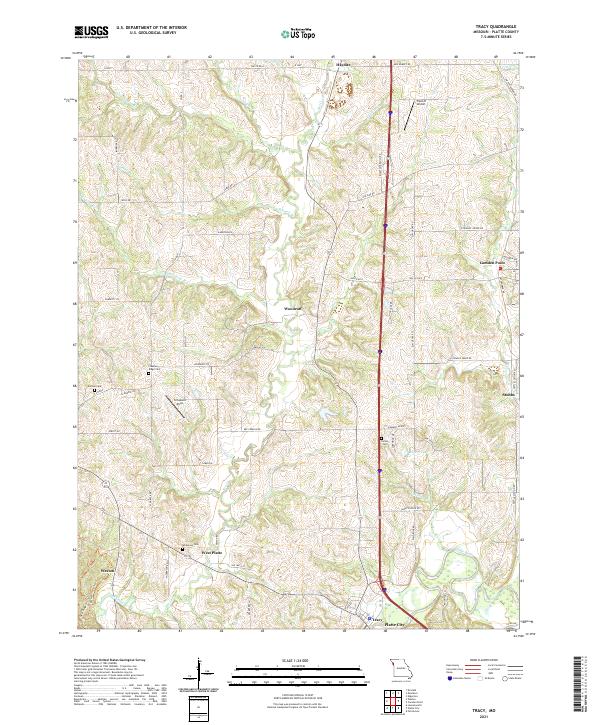 2021 Tracy2021 Print · USGSPlatte County at the start of the 2020s shows a landscape of established farmsteads and rural airfields. Genealogists can locate several local burial grounds including Wilkerson Cem and Kitchen Cem, while tracing the paths of Bee Creek and the Platte River.
 - 2021 Map of Edgerton, 2021 Print
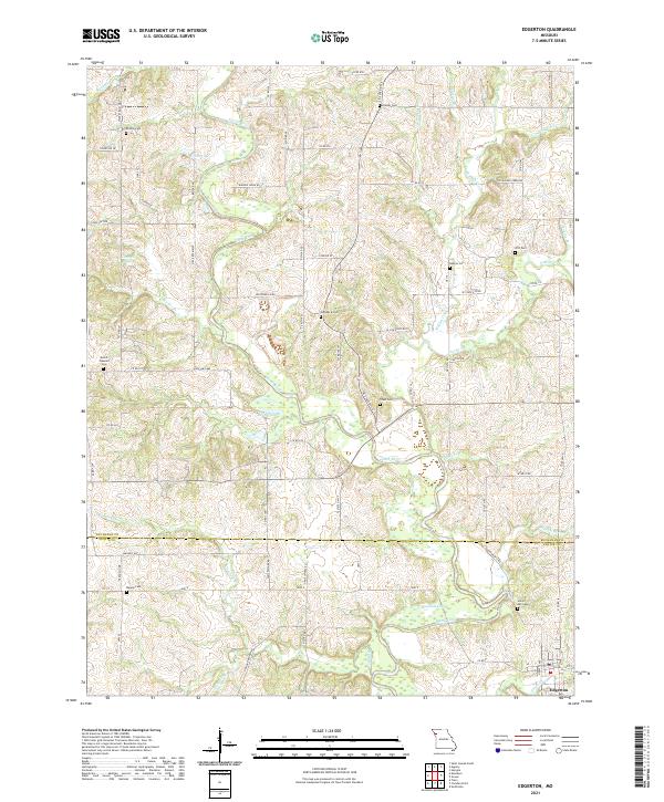 2021 Edgerton2021 Print · USGSThe borderlands of Buchanan and Platte County come into focus during the early 2020s, centered on the rural community of Edgerton. Genealogists can trace local family lineages through numerous burial sites including Hebron Cem, Frazier Cem, and Tobin Cem.
 - 2021 Map of Ferrelview, 2021 Print
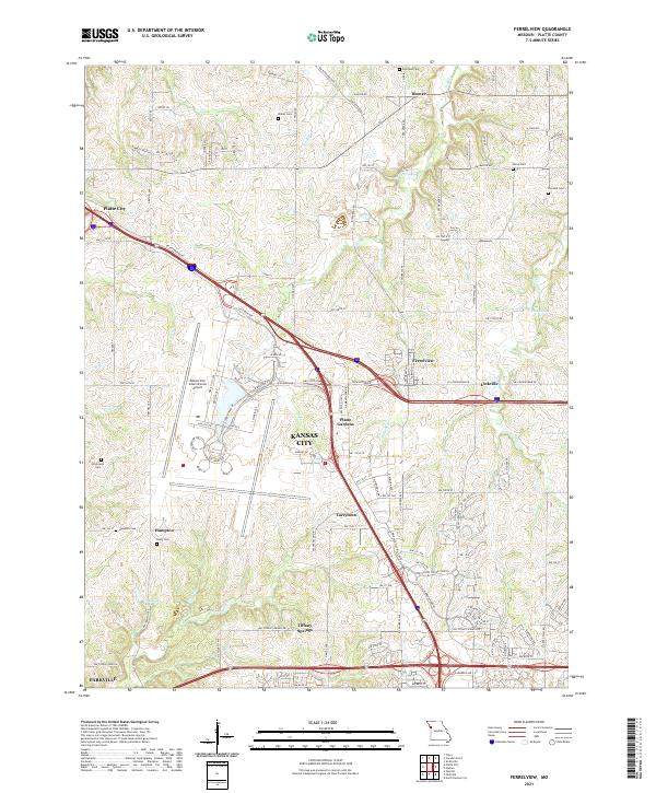 2021 Ferrelview2021 Print · USGSPlatte County at the start of the 2020s shows a landscape of modern aviation and deep-rooted local history. Researchers can trace family plots at Brasfield Cem and Dixon Cem or explore the growth of Ferrelview near the Kansas City International Airport.
 - 2021 Map of Camden Point, 2021 Print
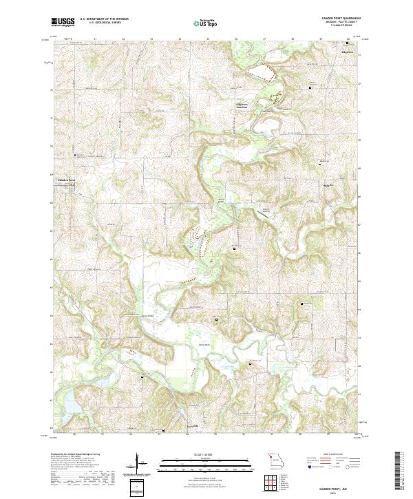 2021 Camden Point2021 Print · USGSThe Platte River valley in modern Missouri remains a landscape of quiet rural settlements and family burial grounds. Researchers can trace ancestral sites at Mount Zion Zion Cem or Chinn Cem and locate historic crossings like Skinner Bridge.
 - 2021 Map of Parkville, 2021 Print
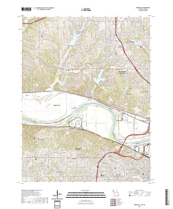 2021 Parkville2021 Print · USGSThe Missouri River borderlands near Parkville and Kansas City come into focus in this contemporary survey. Researchers can trace historic cemeteries like Saint Marys Cem and Quindaro Cem alongside the sprawling campus of Park University.
 - 2021 Map of Nashua, 2021 Print
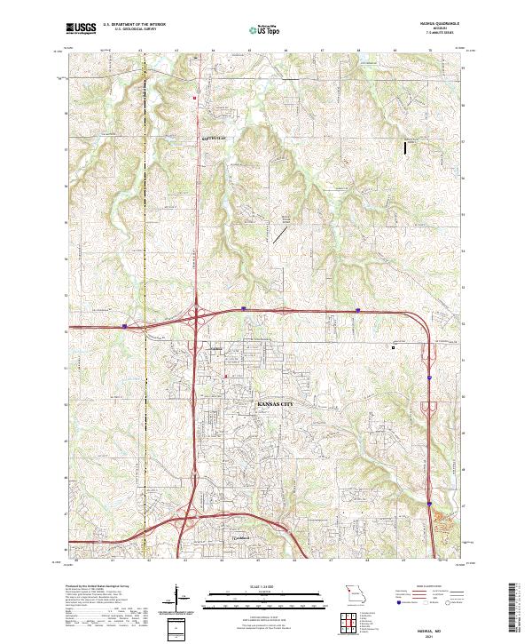 2021 Nashua2021 Print · USGSThe northern edge of Kansas City and the historic settlement of Nashua are captured here as they appeared in 2021. Researchers can trace family sites at Brooks Cemetery and explore the riparian landscapes of Second Creek and Shoal Creek.
 - 2021 Map of Smithville, 2021 Print
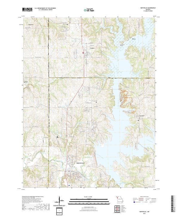 2021 Smithville2021 Print · USGSThe rural landscape of Clay, Platte, and Clinton Counties is shown here in the 2020s as the river valleys surround Smithville. Researchers can locate several family burial grounds like Goss Cem and Brooks Cem or trace the winding Little Platte River.
 - 2021 Map of De Kalb, 2021 Print
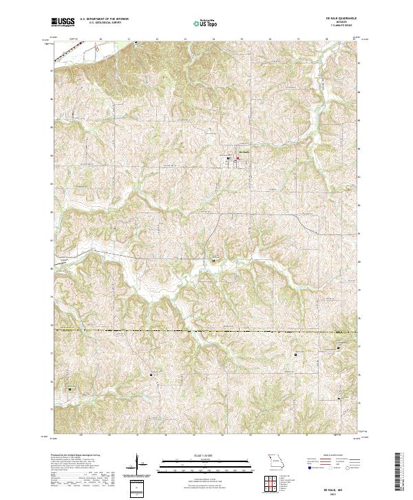 2021 De Kalb2021 Print · USGSThe upland ridges of Buchanan and Platte Counties are captured here in the early twenty-first century. Genealogists can trace family heritage through numerous burial sites including Kerlin Cemetery, Bellis Cemetery, and the riverfront area at Church's Landing.
 - 2021 Map of Dearborn, 2021 Print
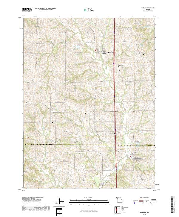 2021 Dearborn2021 Print · USGSThe BUCHANAN CO and PLATTE CO line comes alive in this contemporary record of Missouri's rural heartland. Researchers can trace dozens of local burial sites like Antioch Cem and Hackett Cem alongside small hubs at Faucett and Dearborn.
 - 2021 Map of North Kansas City, 2021 Print
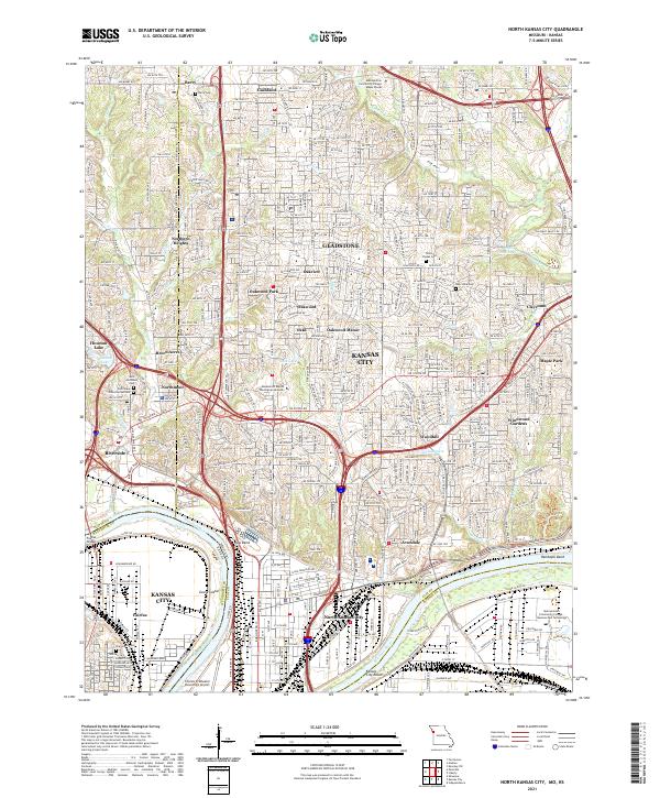 2021 North Kansas City2021 Print · USGSGreater Kansas City's northern landscape and industrial riverfront are captured here in the early 2020s. Researchers can trace transportation networks near Kaw Bend, locate family plots at White Chapel Cem, or explore neighborhoods like Riverside and Gladstone.
 - 2021 Map of Gower, 2021 Print
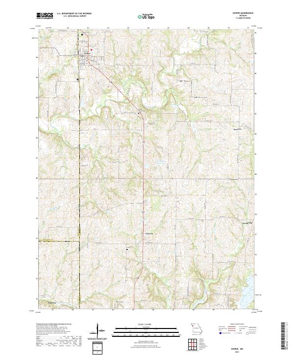 2021 Gower2021 Print · USGSThe rural landscapes of Clinton and Buchanan counties are captured here in the early twenty-first century. Genealogists and local researchers can trace family landmarks and burial grounds such as Grayson Cem, Antioch Cem, and the small settlement of Scearces.
 - 2021 Map of Weston, 2021 Print
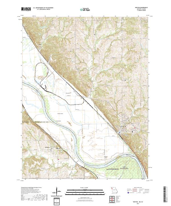 2021 Weston2021 Print · USGSThe Missouri River floodplain near Weston comes into focus in the early twenty-first century, documenting a landscape defined by water and history. Researchers can trace rural cemeteries like Hawkins Cem or explore riverside features such as Fancy Bottom and Kickapoo Island.
 - 2021 Map of Platte City, 2021 Print
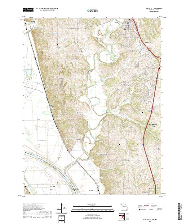 2021 Platte City2021 Print · USGSPlatte City and the surrounding river bluffs are captured here in the early 2020s, showing the meeting of historic rural landscapes and modern growth. Researchers can trace local heritage through numerous family-named sites like Todd Cem, Humphery Bridge, and the Platte County Courthouse.
 - 2022 Map of Atchison East, 2022 Print
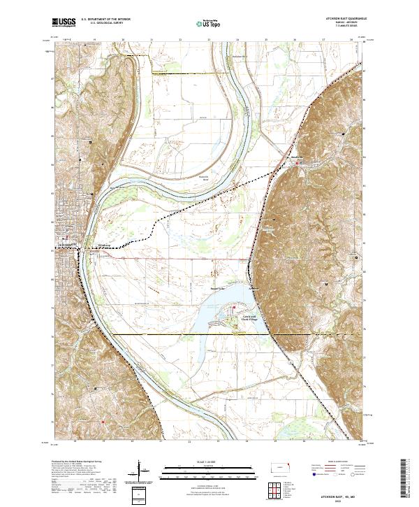 2022 Atchison East2022 Print · USGSThe Missouri River borderlands near the start of the twenty-first century reveal a landscape of river-town history and oxbow wetlands. Genealogists and local historians can trace family sites at Saint Benedicts Abbey Cem or explore the streets of Winthrop and Rushville.
 - 2022 Map of Wolcott, 2022 Print
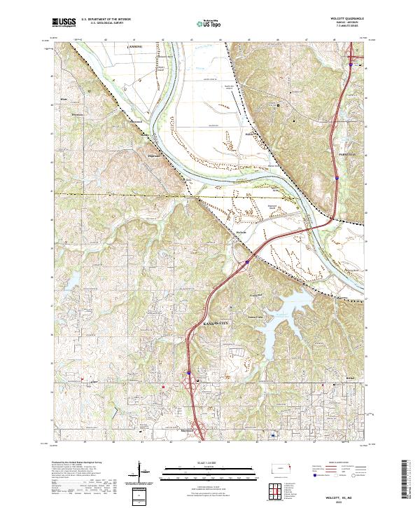 2022 Wolcott2022 Print · USGSThe Missouri River borderlands come alive in this survey of the Kansas-Missouri line. Genealogists can trace family roots through several local burial sites like Bethel Cem and Ellis Cem or explore the settlements of Wolcott and Loma Vista.
 - 2022 Map of Leavenworth, 2022 Print
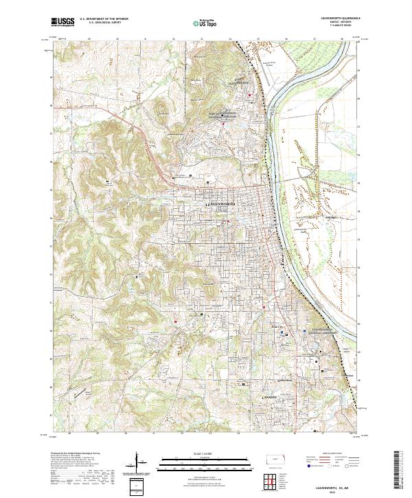 2022 Leavenworth2022 Print · USGSLeavenworth and Lansing sit along the Missouri River in this modern survey of Kansas's earliest settled corridor. Genealogists can locate numerous historic burial sites like Fort Leavenworth National Cem and the United States Penitentiary Cem.
 - 2022 Map of Oak Mills, 2022 Print
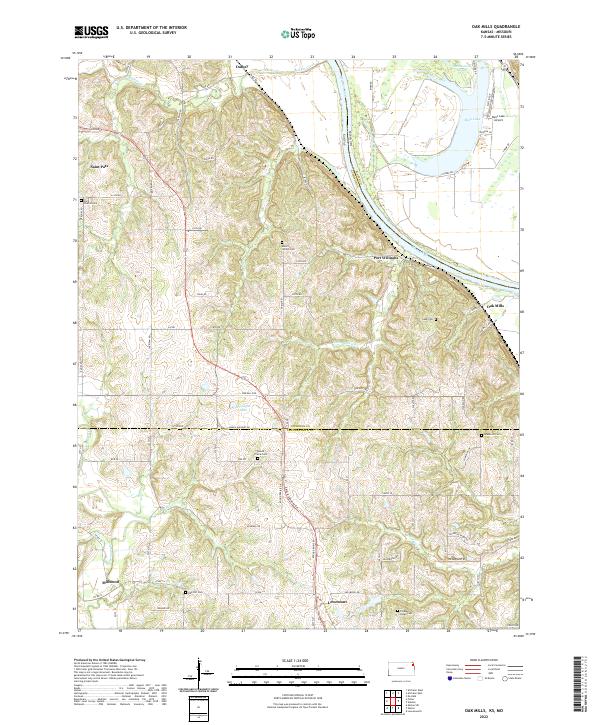 2022 Oak Mills2022 Print · USGSSettlement along the Kansas-Missouri border is captured here in the early twenty-first century, showing the rural communities between the river and the prairie. Genealogists can trace family landmarks like Saint Patrick Cem, Oak Hill Cem, and the village of Lowemont.
End of results
Showing maps 1-17 of 17
Top cities of Platte County
- Parkville historical maps
- Platte City historical maps
- Riverside historical maps
- Weatherby Lake historical maps
- Weston historical maps
- Lake Waukomis historical maps
See more
Frequently asked questions
- What are the different types of historical maps available for Platte County?
- What is the oldest map of Platte County?
- Where can I purchase historical maps of Platte County for my home or office?
- Where can I download high-res historical maps of Platte County?
- Are there historical topographic maps available for Platte County?
- Is there historical aerial imagery available for Platte County?
- Where are historical maps of Platte County sourced from?