2000s (21st Century) Maps of Parkville, Missouri
Explore 19 historic maps of Parkville from the 2000s (21st Century). These maps offer a rare glimpse into what life looked like during the 2000s — showing old roads, neighborhoods, homes, and landmarks that have changed or disappeared over time.
Whether you're researching your family's past, planning a metal detecting trip, or studying how Parkville's landscape evolved across the 2000s, these high-resolution maps are a powerful tool for exploring the history of this region.
- Focus on a specific era: All maps on this page are from the 2000s, giving you a focused view of this time period.
- See what’s changed: Compare century-old streets, trails, and buildings to today's modern landscape using overlays and satellite layers.
- Research with precision: Use these maps for genealogy, historical research, land use analysis, or educational projects.
- View, download, or print: Maps are fully viewable online in high resolution, and can be downloaded or printed for your own records.
Start exploring Parkville's history through authentic maps from the 2000s. This is your window into the past.
Parkville, MO maps
(19)- 2009 Map of Platte City, 2009 Print
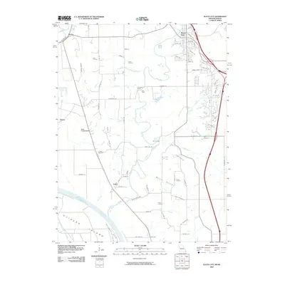 2009 Platte City2009 Print · USGSThe riverbanks of the Missouri and Platte rivers come into focus in the early 2000s, showing a landscape of fertile bottoms and upland cemeteries. Researchers can trace local history through sites like Todd Cemetery, the village of Farley, and the landform at Stigers Island.
 - 2009 Map of Wolcott, 2009 Print
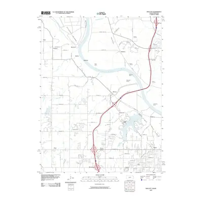 2009 Wolcott2009 Print · USGSThe Missouri River bottoms and Kansas City suburbs meet in this late 2000s landscape. Researchers can trace family history at Gray Cemetery or Naylor Cemetery and locate older settlements such as Piper and Maltby near the river bends.
 - 2010 Map of Parkville, 2010 Print
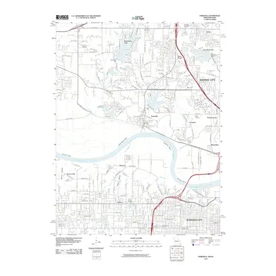 2010 Parkville2010 Print · USGSThe Missouri River corridor near Kansas City is captured here during a period of significant suburban expansion and residential development. You can trace established neighborhoods and local landmarks like Saint Marys Cemetery, Weatherby Lake, and the Parkville Post Office.
 - 2012 Map of Ferrelview, 2012 Print
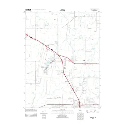 2012 Ferrelview2012 Print · USGSThe northern edges of Kansas City meet the Platte County countryside in this recent survey. Local historians can trace family ties at Pancake Cemetery or Brasfield Cemetery and see the footprint of Oak Grove School.
 - 2012 Map of Platte City, 2012 Print
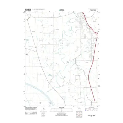 2012 Platte City2012 Print · USGSPlatte County at the start of the 2010s shows a complex river landscape where the Platte River meets the Missouri River valley. Genealogists can locate several family-named burial grounds like Bain Cemetery and Fox Cemetery or trace landmarks such as Vandahl Airport.
 - 2012 Map of Parkville, 2012 Print
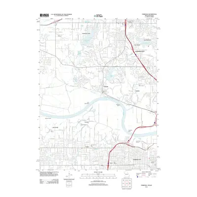 2012 Parkville2012 Print · USGSThe riverfront and expanding suburban landscape of Kansas City and Parkville are detailed in this 2012 survey. Researchers can trace family history through numerous sites including Quindaro Cemetery, Saint Marys Cemetery, and Sailor Cemetery.
 - 2012 Map of Wolcott, 2012 Print
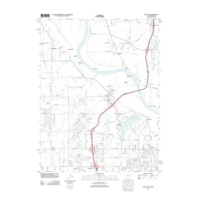 2012 Wolcott2012 Print · USGSNear the Missouri River bend, this 2012 survey documents the suburban growth of Kansas City and its recreational hubs. Genealogists and historians can trace family burial sites like Prairie Cem and Gray Cem alongside the expansive Wyandotte County Lake.
 - 2014 Map of Platte City, 2014 Print
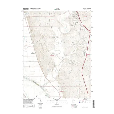 2014 Platte City2014 Print · USGSPlatte County, Missouri, is shown here as the local river systems shaped its development in the early twenty-first century. Genealogists can trace family heritage across eight burial sites including Jewett Cemetery and Heath Cemetery, while mapping the proximity of Farley to the winding Platte River.
 - 2015 Map of Parkville, 2015 Print
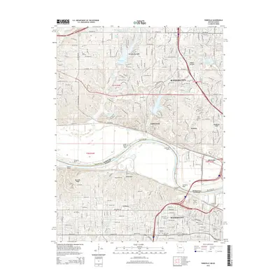 2015 Parkville2015 Print · USGSCrossing the Missouri River in the mid-2010s, this survey documents the shared border between suburban Missouri and the Kansas City, Kansas corridor. Genealogists can trace numerous historic burial sites, including the Old Quindaro Cemetery, Nolan Cemetery, and Saylor Cemetery.
 - 2015 Map of Ferrelview, 2015 Print
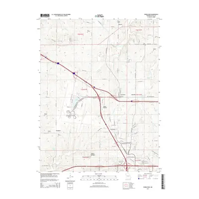 2015 Ferrelview2015 Print · USGSThe Missouri-Platte borderlands are captured here in the mid-2010s, showing a landscape defined by the sprawl of Kansas City International Airport. Researchers can trace rural lineages through numerous burial sites like Brasfield and Pancake, or locate small communities like Linkville and Hoover.
 - 2015 Map of Wolcott, 2015 Print
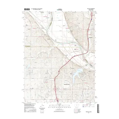 2015 Wolcott2015 Print · USGSThe Missouri River bluffs and the northern edges of Kansas City appear in the mid-2010s, showing a landscape defined by water and history. Researchers can trace family sites at Gray Cem and Bethel Cem or locate the rural Noah's Ark Airport.
 - 2017 Map of Platte City, 2017 Print
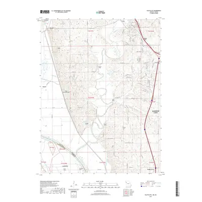 2017 Platte City2017 Print · USGSThe Missouri-Kansas borderlands at the turn of the twenty-first century reveal a landscape of deep river bends and rural settlements. Researchers can locate several family cemeteries such as Todd Cem and Heath Cem, alongside crossings at Humphery Bridge and Detner Bridge.
 - 2017 Map of Ferrelview, 2017 Print
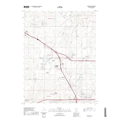 2017 Ferrelview2017 Print · USGSNorth of the Missouri River in the 2010s, this area shows the sprawl of a modern aviation hub meeting historic rural settlements. Genealogists can locate family burial grounds like Dixon Cem and Pancake Cem near the small communities of Hoover and Linkville.
 - 2017 Map of Parkville, 2017 Print
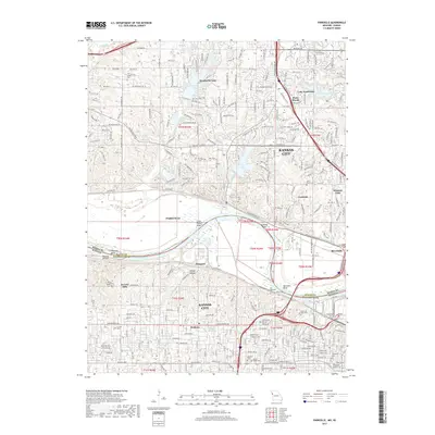 2017 Parkville2017 Print · USGSThe Missouri River floodplain near the Kansas-Missouri border was a hive of suburban development and river-bound industry in the late 2010s. Genealogists can locate several burial grounds like Quindaro Cem and Saylor Cem, alongside landmarks such as Park Univ.
 - 2018 Map of Wolcott, 2018 Print
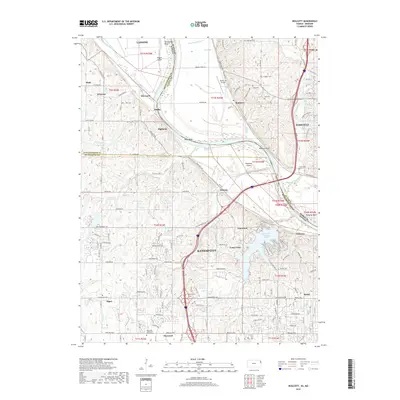 2018 Wolcott2018 Print · USGSThe Missouri River corridor in the 2010s reveals a blend of industrial centers and quiet rural cemeteries across the Kansas-Missouri border. Researchers can trace family history at Dunagan Cem or explore the geography of Diamond Island and Wyandotte County Lake.
 - 2021 Map of Ferrelview, 2021 Print
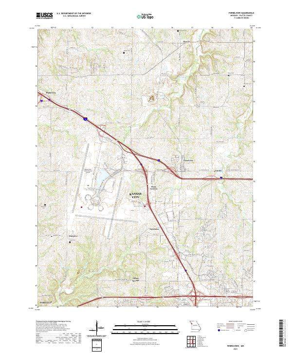 2021 Ferrelview2021 Print · USGSPlatte County at the start of the 2020s shows a landscape of modern aviation and deep-rooted local history. Researchers can trace family plots at Brasfield Cem and Dixon Cem or explore the growth of Ferrelview near the Kansas City International Airport.
 - 2021 Map of Parkville, 2021 Print
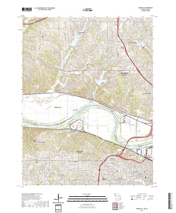 2021 Parkville2021 Print · USGSThe Missouri River borderlands near Parkville and Kansas City come into focus in this contemporary survey. Researchers can trace historic cemeteries like Saint Marys Cem and Quindaro Cem alongside the sprawling campus of Park University.
 - 2021 Map of Platte City, 2021 Print
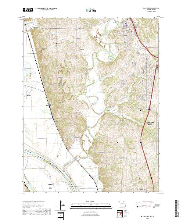 2021 Platte City2021 Print · USGSPlatte City and the surrounding river bluffs are captured here in the early 2020s, showing the meeting of historic rural landscapes and modern growth. Researchers can trace local heritage through numerous family-named sites like Todd Cem, Humphery Bridge, and the Platte County Courthouse.
 - 2022 Map of Wolcott, 2022 Print
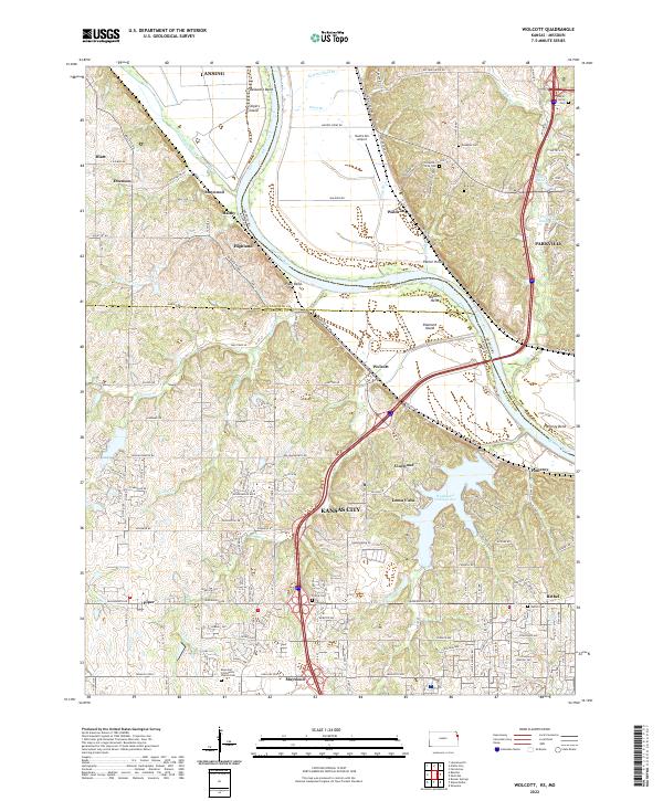 2022 Wolcott2022 Print · USGSThe Missouri River borderlands come alive in this survey of the Kansas-Missouri line. Genealogists can trace family roots through several local burial sites like Bethel Cem and Ellis Cem or explore the settlements of Wolcott and Loma Vista.
End of results
Showing maps 1-19 of 19
Top cities near Parkville
- Kansas City historical maps
- Overland Park historical maps
- Kansas City historical maps
- Olathe historical maps
- Shawnee historical maps
- Lenexa historical maps
See more
Frequently asked questions
- What are the different types of historical maps available for Parkville?
- What is the oldest map of Parkville?
- Where can I purchase historical maps of Parkville for my home or office?
- Where can I download high-res historical maps of Parkville?
- Are there historical topographic maps available for Parkville?
- Is there historical aerial imagery available for Parkville?
- Where are historical maps of Parkville sourced from?