Old Maps of Sadler, Missouri for Academic Research
Study the evolution of Sadler with 18 high-resolution historic maps. Whether you're teaching, researching, or modeling changes in land use, these maps provide essential visual documentation of urban, environmental, and geographic change.
- Analyze long-term change: Track patterns in development, transportation, and natural features.
- Ideal for environmental or urban studies: Support academic projects with primary historical map data.
- Use in the classroom or lab: Educators and researchers rely on these maps to bring historical context to life.
These maps are a powerful tool for teaching, research, and visualizing how Sadler has changed over the decades.
Sadler, MO maps
(18)- 1890 Map of Kansas City
 1890 Kansas City1890 Print · USGSThe Missouri River valley at the turn of the decade shows a booming rail-and-river economy centered on KANSAS CITY. Researchers can trace the early footprints of settlements like White Church, Lansing, and Smithville before modern expansion.2 unique versions available
 - 1894 Map of Kansas City
 1894 Kansas City1894 Print · USGSThe Missouri River valley at the close of the nineteenth century was a bustling intersection of military life and frontier commerce. Genealogists can trace family roots through river towns like Weston and Parkville or locate early railroad hubs at Settles Station and Beverly Junction.14 unique versions available
 - 1910 Map of Leavenworth
 1910 Leavenworth1910 Print · USGSLeavenworth and the Missouri River borderlands are captured here during a period of significant military and institutional growth. Researchers can trace family sites among dozens of landmarks like Slabtown, the U S Penitentiary Reserve, and Kickapoo School.8 unique versions available
 - 1948 Map of Leavenworth, 1957 Print
 1948 Leavenworth1957 Print · USGSThe Missouri River corridor near Leavenworth and Weston was a vital hub of military and civic institutions in the late 1940s. Genealogists and historians can trace family roots at the Society of Sons of Death Cemetery or locate old schoolhouses like Coffin School and Hund School.4 unique versions available
 - 1950 Map of Kansas City
 1950 Kansas City1950 Print · USGSMid-century Kansas and Missouri are captured here during a period of industrial growth and shifting transportation. Genealogists and historians can trace rail lines like the Wabash RR or locate ancestral homes near the Potawatomi Indian Reservation and Horton.
 - 1951 Map of Leavenworth
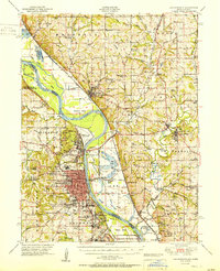 1951 Leavenworth1951 Print · USGSLeavenworth and the Missouri River borderlands are shown here in the early Cold War era, marked by significant federal and military installations. Trace the footprints of Fort Leavenworth, Sherman Air Force Base, and rural landmarks like the Fancy Bottoms School.2 unique versions available
 - 1951 Map of Weston
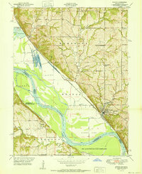 1951 Weston1951 Print · USGSThe Missouri-Kansas borderlands come to life in this mid-century survey, showing the river winding past Weston and the northern edge of the Fort Leavenworth Military Reservation. Genealogists can locate family landmarks like Laurel Hill Cemetery and rural schools including Fancy Bottoms School and Burrus School.2 unique versions available
 - 1954 Map of Kansas City
 1954 Kansas City1954 Print · USGSThe Missouri-Kansas borderlands flourished in the post-war era as river commerce and rail networks converged at the Missouri River. Genealogists and historians can trace the foundations of Kansas City and smaller rural hubs like Hiawatha or Sabetha.
 - 1956 Map of Kansas City, 1967 Print
 1956 Kansas City1967 Print · USGSThe Kansas-Missouri border region thrived during the mid-fifties, centered on the growing metropolitan cores and the busy river valleys. Researchers can trace the layout of significant government sites like Fort Leavenworth and the Lake City Army Ammunition Plant.4 unique versions available
 - 1960 Map of Kansas City
 1960 Kansas City1960 Print · USGSMid-century Kansas and Missouri meet at the river forks, showing a sprawling rail-and-river economy during the 1950s growth era. Genealogists and researchers can trace tribal lands like the Kickapoo Indian Reservation or follow the early interstate corridors through Saint Joseph and Independence.3 unique versions available
 - 1961 Map of Weston, 1962 Print
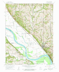 1961 Weston1962 Print · USGSThe Missouri River floodplain near the Kansas-Missouri border was a hive of rail and river activity in the early 1960s. Genealogists and historians can trace local landmarks like Graceland Cem, the Chicago Burlington and Quincy rail line, and the riverside community of Weston.3 unique versions available
 - 1983 Map of Kansas City
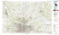 1983 Kansas City1983 Print · USGSThe Missouri-Kansas borderlands reached a peak of suburban and industrial connectivity by the early eighties. Researchers can trace established neighborhoods and major landmarks like the Fort Leavenworth Military Reservation, Swope Park, and the U.S. Army Ammunition Plant.
 - 1984 Map of Weston
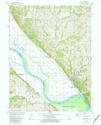 1984 Weston1984 Print · USGSMid-1980s Platte County comes alive along the Missouri River bends as the industrial and military landscape takes shape. Genealogists can locate family sites at Graceland Cem and Lawn Hill Cem, while historians can trace the Burlington Northern line past Iatan.
 - 2009 Map of Weston, 2009 Print
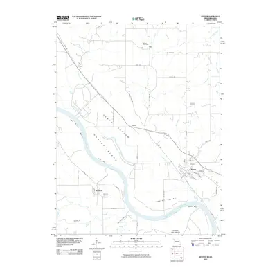 2009 Weston2009 Print · USGSThe Missouri-Kansas border comes alive in this 2000s survey of the Missouri River's shifting bends and bottomlands. Genealogists and local historians can trace family plots at Graceland Cemetery or explore the riverfront near Weston and Kickapoo.
 - 2012 Map of Weston, 2012 Print
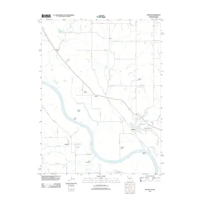 2012 Weston2012 Print · USGSThe Missouri River borderlands near Weston and Kickapoo are documented here in the early twenty-first century. Genealogists and historians can trace family locations through Hawkins Cemetery, Memorial Cemetery, and small settlements like Fancy Bottom.
 - 2014 Map of Weston, 2014 Print
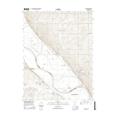 2014 Weston2014 Print · USGSThe Missouri River borderlands come alive in this 2014 survey of the bluffs and bottomlands near the Kansas-Missouri line. Researchers can trace family history through several burial grounds, including Laurel Hill Cemetery and the Kickapoo Memorial Cemetery.
 - 2017 Map of Weston, 2017 Print
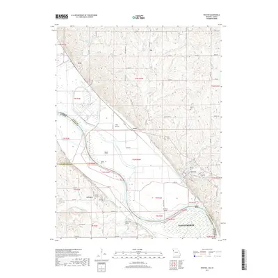 2017 Weston2017 Print · USGSThe Missouri River borderlands near Weston and Kickapoo are shown here during a period of modern stability along this historic waterway. Local historians can trace family sites and land use across Fancy Bottom, the Salt Creek Valley, and several area burial grounds including Laurel Hill Cem.
 - 2021 Map of Weston, 2021 Print
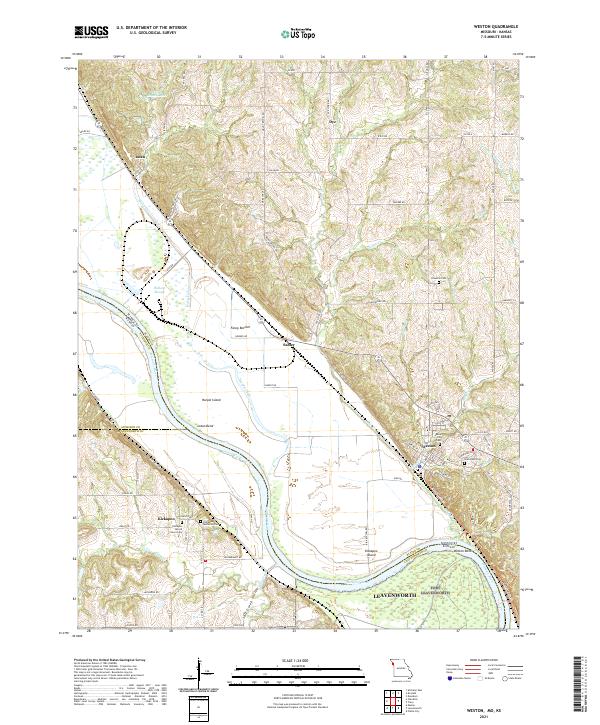 2021 Weston2021 Print · USGSThe Missouri River floodplain near Weston comes into focus in the early twenty-first century, documenting a landscape defined by water and history. Researchers can trace rural cemeteries like Hawkins Cem or explore riverside features such as Fancy Bottom and Kickapoo Island.
End of results
Showing maps 1-18 of 18
Top cities near Sadler
- Kansas City historical maps
- Leavenworth historical maps
- Lansing historical maps
- Atchison historical maps
- Parkville historical maps
- Platte City historical maps
See more
Frequently asked questions
- What are the different types of historical maps available for Sadler?
- What is the oldest map of Sadler?
- Where can I purchase historical maps of Sadler for my home or office?
- Where can I download high-res historical maps of Sadler?
- Are there historical topographic maps available for Sadler?
- Is there historical aerial imagery available for Sadler?
- Where are historical maps of Sadler sourced from?