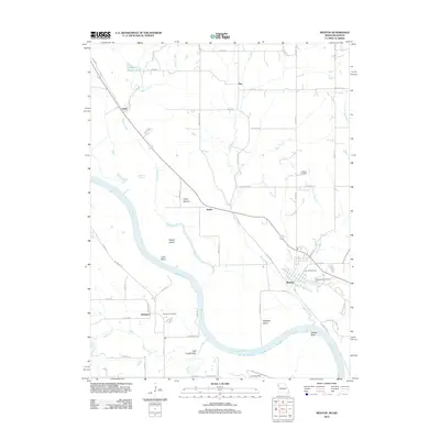
2012 Map of Weston
USGS Topo · Published 2012About this map
The Missouri River defines the landscape of this 2012 survey, winding past the historic river town of Weston and the settlement of Kickapoo. The map details a complex riparian environment of chutes and bends, including Harpst Chute and the prominent Weston Bend. This shifting hydrology is evidenced by features like Wellson Slough and Harpst Island, which sit nestled within the river's broad floodplain.
Find a feature on this map
74 named features on this map. Tap any name to fly to it.
Don’t see what you’re looking for? This feature index may not catch every label — zoom into the map to look around manually.
Map Details
Editions of this 2012 Weston Map
This is the sole edition of this map. No revisions or reprints were ever made.
Other maps of this area

1885 · Atchison
USGS Topo · 1:125,000

1886 · Oskaloosa
USGS Topo · 1:125,000

1888 · Oskaloosa
USGS Topo · 1:125,000

1888 · Atchison
USGS Topo · 1:125,000

1890 · Kansas City
USGS Topo · 1:125,000

1893 · Atchison
USGS Topo · 1:125,000

1894 · Kansas City
USGS Topo · 1:125,000

1894 · Oskaloosa
USGS Topo · 1:125,000

1910 · Leavenworth
USGS Topo · 1:62,500

1926 · Atchison
USGS Topo · 1:62,500