2020s Maps of Ray County, Missouri
Explore 16 historic maps of Ray County from the 2020s. These maps offer a rare glimpse into what life looked like during the 2020s — showing old roads, neighborhoods, homes, and landmarks that have changed or disappeared over time.
Whether you're researching your family's past, planning a metal detecting trip, or studying how Ray County's landscape evolved across the 2020s, these high-resolution maps are a powerful tool for exploring the history of this region.
- Focus on a specific era: All maps on this page are from the 2020s, giving you a focused view of this time period.
- See what’s changed: Compare century-old streets, trails, and buildings to today's modern landscape using overlays and satellite layers.
- Research with precision: Use these maps for genealogy, historical research, land use analysis, or educational projects.
- View, download, or print: Maps are fully viewable online in high resolution, and can be downloaded or printed for your own records.
Start exploring Ray County's history through authentic maps from the 2020s. This is your window into the past.
Ray County, MO maps
(16)- 2021 Map of Buckner, 2021 Print
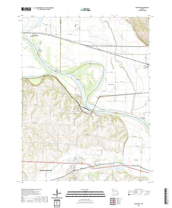 2021 Buckner2021 Print · USGSThe Missouri River bottoms near the Jackson, Clay, and Ray county lines are shown here in detail during the early 2020s. Genealogists and local historians can trace family sites at Buckner Hill Cem and Dillen Cem or locate the riverside settlements of Sibley and Levasy.
 - 2021 Map of Millville, 2021 Print
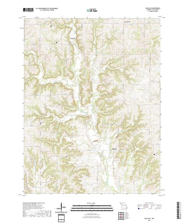 2021 Millville2021 Print · USGSRay County’s rural landscape is captured here in the early 2020s, showing a region defined by family farmsteads and quiet creek valleys. Genealogists can locate several historic burial sites, such as Gorham Cem, Kincaid Cem, and Silar Cem near Taitsville.
 - 2021 Map of Stet, 2021 Print
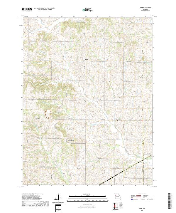 2021 Stet2021 Print · USGSThe Ray and Carroll county line in northern Missouri is captured here in the early twenty-first century, showing a landscape shaped by the Wakenda Cr drainage. Genealogists can locate Penniston Cem and the small settlements of Stet and Regal.
 - 2021 Map of Polo, 2021 Print
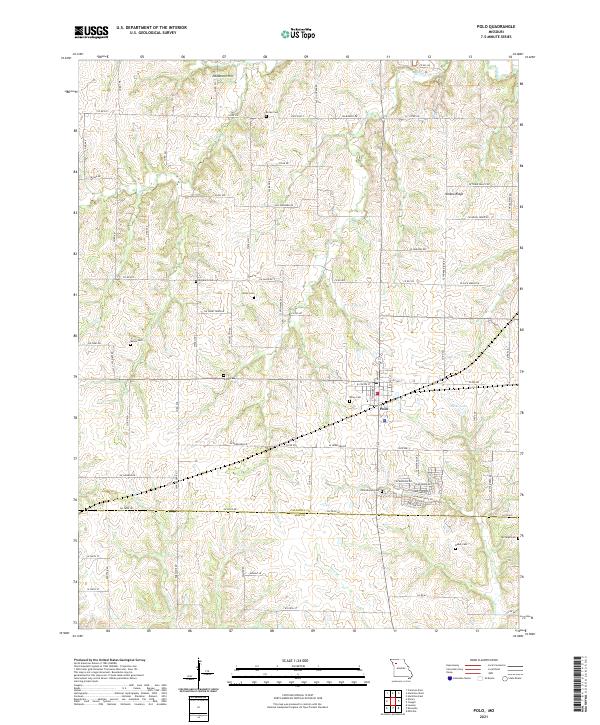 2021 Polo2021 Print · USGSThe rural border of Caldwell and Ray counties comes into focus in this recent survey of the Missouri countryside. Genealogists can locate numerous burial sites across the landscape, including Dunkard Cem, Wiley Cem, and Baker Cem.
 - 2021 Map of Braymer, 2021 Print
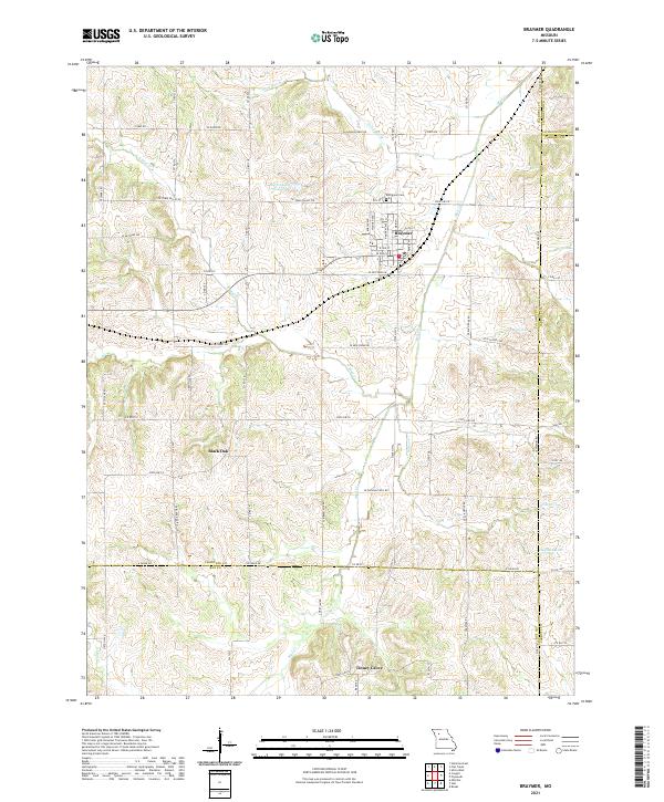 2021 Braymer2021 Print · USGSNorthwest Missouri rural life is centered on the town of Braymer in the early twenty-first century. Genealogists and local researchers can trace the vicinity of Black Oak, locate the Evergreen Cem, and follow the many branches of Mud Cr.
 - 2021 Map of Lexington East, 2021 Print
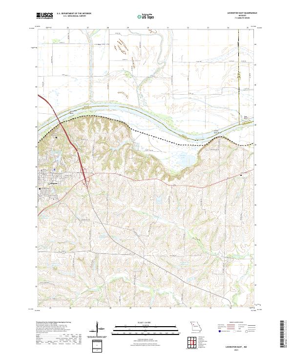 2021 Lexington East2021 Print · USGSLafayette County and the bluffs of the Missouri River are shown in detail during the early 2020s. Researchers can trace the layout of Lexington, identify local landmarks like Jubilee University, and find historic burial sites including Machpelah Cem and Slusher Cem.
 - 2021 Map of Lexington West, 2021 Print
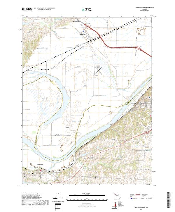 2021 Lexington West2021 Print · USGSThe river bluffs of Lafayette County and the bottomlands of Ray County are detailed here as they appeared in 2021. Researchers can locate family landmarks like Foster Cem and Mitchell Cem or trace the early riverfront history of Myrick and Lexington.
 - 2021 Map of Excelsior Springs, 2021 Print
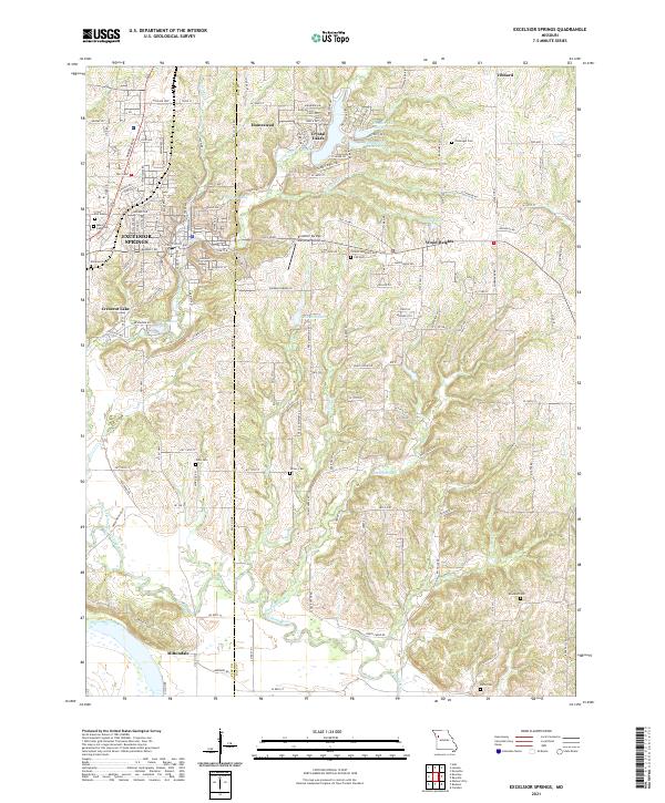 2021 Excelsior Springs2021 Print · USGSExcelsior Springs and the Clay-Ray county border come alive in this recent survey of the Missouri countryside. Genealogists can locate family sites at Crown Hill Cem, Turner Cem, and Rowland Cem while tracing the Fishing River basin.
 - 2021 Map of Rayville, 2021 Print
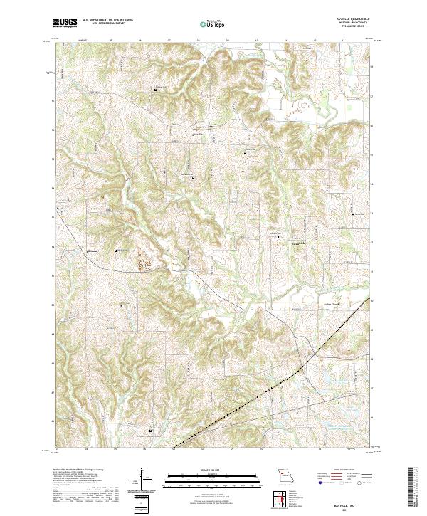 2021 Rayville2021 Print · USGSRay County's rural townships are captured here in the early twenty-first century, showing a landscape defined by small crossroads settlements and family burial grounds. Genealogists can locate several historic sites including McGaugh Cem, Hamilton Cem, and the community of Swanwick.
 - 2021 Map of Cowgill, 2021 Print
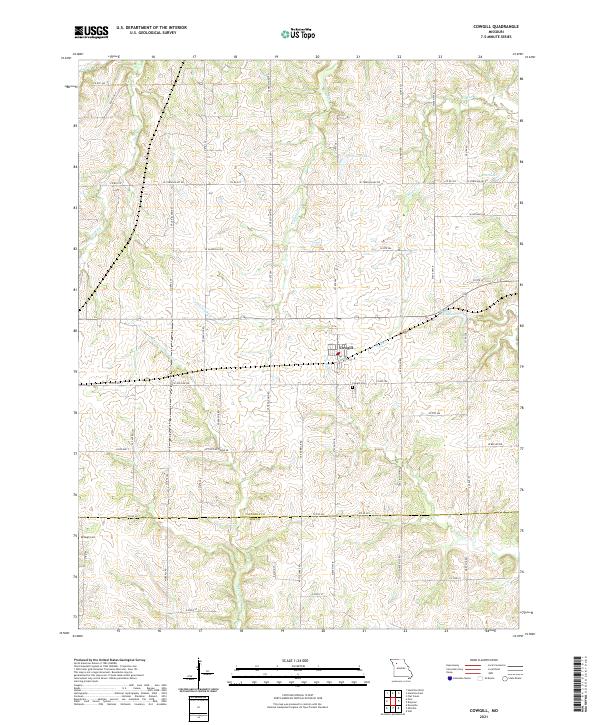 2021 Cowgill2021 Print · USGSCaldwell County’s rolling agricultural lands are documented here in the early twenty-first century, centered on the community of Cowgill. Genealogists and local historians can locate Cowgill Cemetery and trace the paths of N Mud Creek and Crabapple Creek.
 - 2021 Map of Hardin, 2021 Print
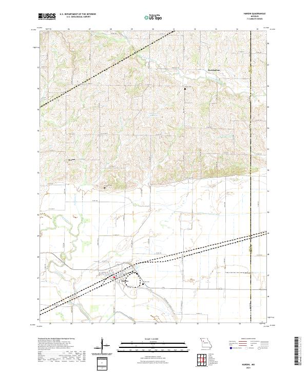 2021 Hardin2021 Print · USGSThe rural landscape of Ray and Carroll Counties is documented here in the early 2020s, centered on the community of Hardin. Family historians can locate several burial grounds like Clarks Cem and Lavelock Cem alongside the waters of the Crooked River.
 - 2021 Map of Knoxville, 2021 Print
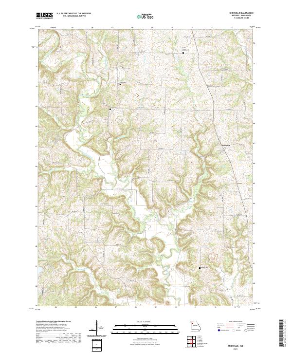 2021 Knoxville2021 Print · USGSRay County's agricultural landscape and creek-fed valleys are documented here in the early twenty-first century. Genealogists can trace family heritage at Mayes Cem, Sandals Cem, and the community of Knoxville, all set near the winding Crooked River.
 - 2021 Map of Elmira, 2021 Print
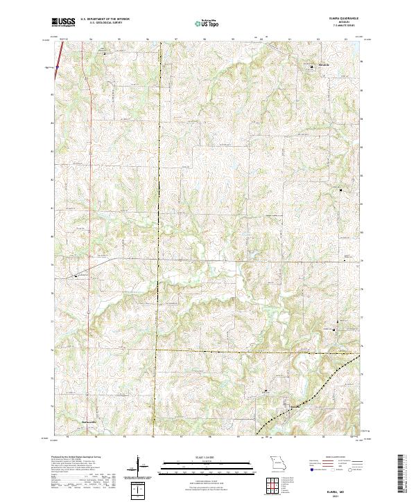 2021 Elmira2021 Print · USGSMissouri's rural tri-county borderlands come to life in this recent survey of the area surrounding Elmira and Mirabile. Researchers can trace old family burial grounds like Zeikle Cem and Brooking Cem along the bends of the Crooked River.
 - 2021 Map of Richmond, 2021 Print
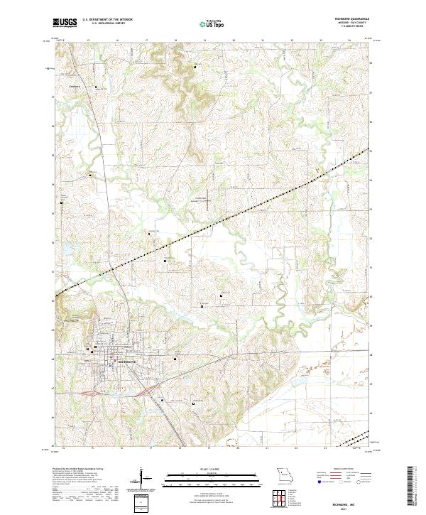 2021 Richmond2021 Print · USGSRay County at the start of the 2020s centers on the city of Richmond and its surrounding river valleys. Genealogists can trace family plots at Woodland Cem and Gunnell Cem, or explore the rural environs of Dockery.
 - 2021 Map of Camden, 2021 Print
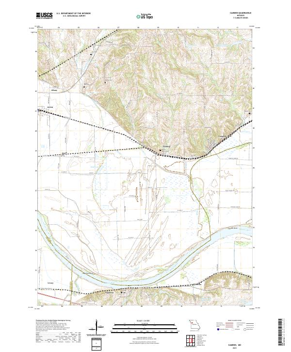 2021 Camden2021 Print · USGSThe Missouri River floodplain comes into sharp focus during the early twenty-first century as it winds past Missouri river towns. Genealogists can trace family names through numerous burial sites like Smith Jackson Cem and Cravens Cem, or locate the historic river bends at Camden Bend.
 - 2021 Map of Lawson, 2021 Print
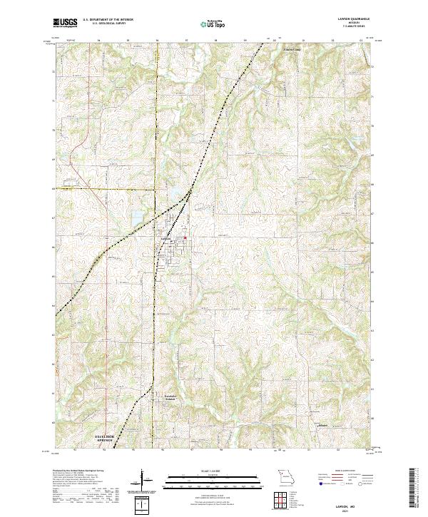 2021 Lawson2021 Print · USGSThe tri-county border of Clinton, Clay, and Ray Counties comes into focus in this early 21st-century study of the Missouri countryside. Researchers can trace the layout of small communities like Lawson and Vibbard or follow the winding courses of the S Fork Fishing River and Rocky Fork.
End of results
Showing maps 1-16 of 16
Top cities of Ray County
- Richmond historical maps
- Orrick historical maps
- Hardin historical maps
- Henrietta historical maps
- Crystal Lakes historical maps
- Camden historical maps
See more
Frequently asked questions
- What are the different types of historical maps available for Ray County?
- What is the oldest map of Ray County?
- Where can I purchase historical maps of Ray County for my home or office?
- Where can I download high-res historical maps of Ray County?
- Are there historical topographic maps available for Ray County?
- Is there historical aerial imagery available for Ray County?
- Where are historical maps of Ray County sourced from?