2000s (21st Century) Maps of Ray County, Missouri
Explore 64 historic maps of Ray County from the 2000s (21st Century). These maps offer a rare glimpse into what life looked like during the 2000s — showing old roads, neighborhoods, homes, and landmarks that have changed or disappeared over time.
Whether you're researching your family's past, planning a metal detecting trip, or studying how Ray County's landscape evolved across the 2000s, these high-resolution maps are a powerful tool for exploring the history of this region.
- Focus on a specific era: All maps on this page are from the 2000s, giving you a focused view of this time period.
- See what’s changed: Compare century-old streets, trails, and buildings to today's modern landscape using overlays and satellite layers.
- Research with precision: Use these maps for genealogy, historical research, land use analysis, or educational projects.
- View, download, or print: Maps are fully viewable online in high resolution, and can be downloaded or printed for your own records.
Start exploring Ray County's history through authentic maps from the 2000s. This is your window into the past.
Ray County, MO maps
(64)- 2012 Map of Stet, 2012 Print
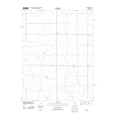 2012 Stet2012 Print · USGSThis rural Missouri landscape at the start of the 2010s shows a quiet network of creeks and small settlements in Ray County. Researchers can trace family history at the Penniston Cemetery and locate old crossroads like Russellville and Stet.
 - 2012 Map of Richmond, 2012 Print
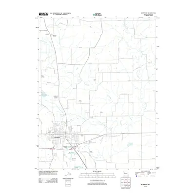 2012 Richmond2012 Print · USGSRay County in the early twenty-first century is defined by its deep genealogical roots and the winding forks of the Crooked River. Genealogists and local researchers can trace numerous family-named landmarks including McDonald Cemetery, Nutter Cemetery, and the Watkins Cemetery.
 - 2012 Map of Knoxville, 2012 Print
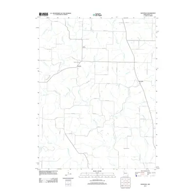 2012 Knoxville2012 Print · USGSRay County's rural landscape is captured here in the early twenty-first century, showing a region defined by its winding waterways and historic crossroads. Researchers can locate family landmarks such as Mayes Cemetery or trace the path of Crooked River through Knoxville and Sandals.
 - 2012 Map of Hardin, 2012 Print
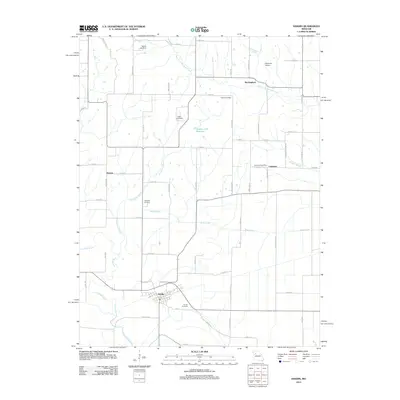 2012 Hardin2012 Print · USGSThe rural riverlands of Ray County are captured here just after the first decade of the new millennium. Genealogists and local historians can trace family ties at Hardin Cemetery, locate the Lakeview Post Office, or follow the banks of Moss Creek.
 - 2012 Map of Elmira, 2012 Print
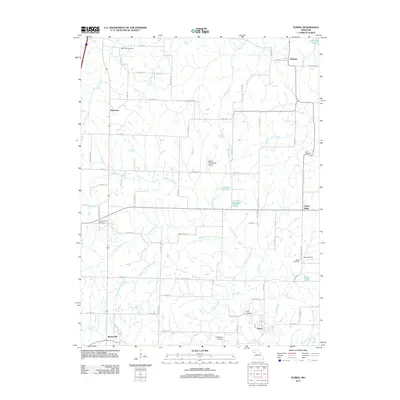 2012 Elmira2012 Print · USGSRural Ray and Caldwell counties are mapped here in the early 2010s, showing a landscape of traditional farmsteads and creek-fed valleys. Genealogists can locate several historic burial sites, including Sloan, Deer Creek Cemetery, and Cates Cemetery, while tracing the reaches of the South Prong Crooked River.
 - 2012 Map of Camden, 2012 Print
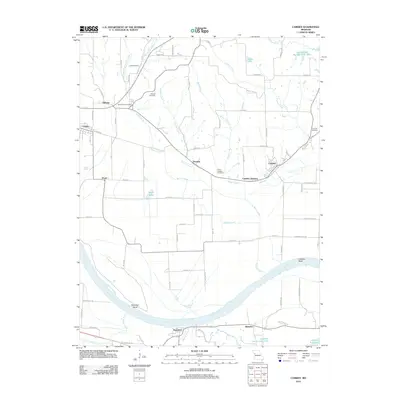 2012 Camden2012 Print · USGSThe riverfront communities along the Missouri River valley are captured here in the early twenty-first century. Researchers can trace family history through several rural burial grounds like Lewis Cemetery and Smith-Jackson Cemetery or explore the settlements of Orrick and Camden.
 - 2012 Map of Rayville, 2012 Print
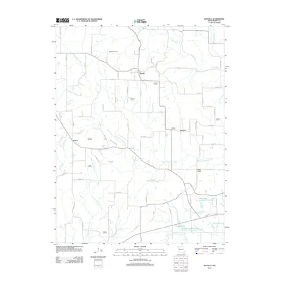 2012 Rayville2012 Print · USGSRay County in the early 2010s remains a landscape of historic family farmsteads and rural crossroads. Local researchers can trace family roots through numerous sites like Oggs Mill, McGaugh Cemetery, Hamilton Cemetery, and the settlement of Swanwick.
 - 2012 Map of Cowgill, 2012 Print
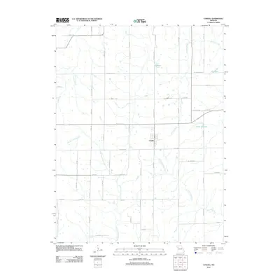 2012 Cowgill2012 Print · USGSCowgill and the surrounding Caldwell County farmlands are captured in this 2012 survey, showing a landscape defined by prairie streams and section-line roads. Researchers can trace family land along the East Fork Crooked River and find landmarks like Bunker Hill Lake or Creason Lake.
 - 2012 Map of Lexington West, 2012 Print
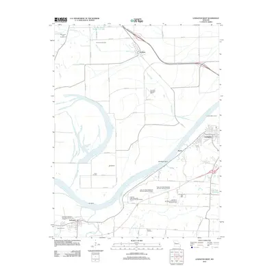 2012 Lexington West2012 Print · USGSThe Missouri River dominates this 2012 landscape near the historic river town of Lexington. Researchers can trace local heritage at the Lexington Battle Ground, locate family plots at Foster Cemetery, or study the watershed near Hollingsworth Lake.
 - 2012 Map of Lexington East, 2012 Print
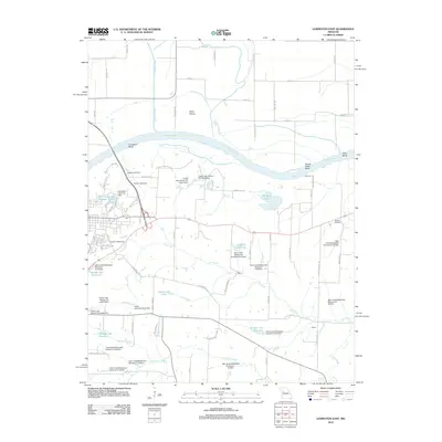 2012 Lexington East2012 Print · USGSThe Missouri River bottoms and surrounding Lafayette County uplands are shown in detail here during the early twenty-first century. Genealogists and local historians can locate Slusher Cemetery and the small settlements of Halls and Winton among numerous watershed dams and reservoirs.
 - 2012 Map of Millville, 2012 Print
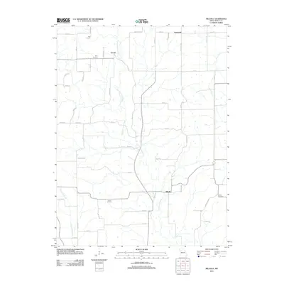 2012 Millville2012 Print · USGSRay County's agricultural heartland is documented here in the early twenty-first century, centered on the East Fork Crooked River. Genealogists can locate several family burial sites including Kincaid Cemetery, Gorham Cemetery, and the settlement at Millville.
 - 2012 Map of Buckner, 2012 Print
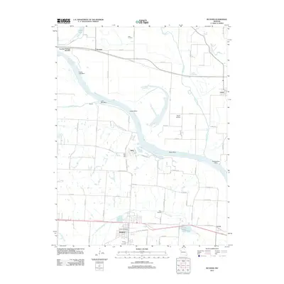 2012 Buckner2012 Print · USGSThe Missouri River floodplain near Buckner was a landscape of winding bends and fertile bottoms during the early 21st century. Genealogists can locate family sites at Buckner Hill Cemetery or trace the early community footprints of Sibley and Levasy.
 - 2012 Map of Polo, 2012 Print
 2012 Polo2012 Print · USGSCaldwell County’s rural landscape is centered on the town of Polo in the early 2010s, showing a region deeply rooted in its local history. Genealogists and historians can trace many family-named landmarks and burial sites, including Dunkard Cemetery, Baker Cemetery, and Needmore Hill.
 - 2012 Map of Excelsior Springs, 2012 Print
 2012 Excelsior Springs2012 Print · USGSExcelsior Springs and the surrounding Clay County uplands are documented here just after the first decade of the millennium. Genealogists and historians can trace family plots at Crown Hill Cemetery and Pisgah Cemetery or locate old community sites like Miltondale.
 - 2012 Map of Braymer, 2012 Print
 2012 Braymer2012 Print · USGSBraymer and the surrounding Caldwell County countryside are captured here in the early twenty-first century. Genealogists and local historians can trace the rural landscape between Black Oak and Tinney Grove, or locate landmarks like Wright Landing Field.
 - 2012 Map of Lawson, 2012 Print
 2012 Lawson2012 Print · USGSNorth-central Missouri in the early twenty-first century is characterized by established rural townships and a dense network of river forks. Researchers can trace local development around Lawson, Vibbard, and the recreation areas at Lawson Lake.
 - 2014 Map of Buckner, 2014 Print
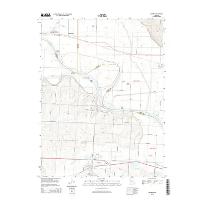 2014 Buckner2014 Print · USGSThe river bottoms and bluffs of Jackson County are captured here in the early twenty-first century as the Missouri River winds through its massive bends. Local researchers can trace family sites at Buckner Hill Cemetery and find the small rural centers of Sibley and Levasy.
 - 2014 Map of Knoxville, 2014 Print
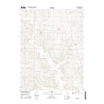 2014 Knoxville2014 Print · USGSRay County's rural landscape is captured here in the early twenty-first century, centered on the winding Crooked River. Researchers can trace local heritage through sites like Sandals, Knoxville, and the Sandals Cemetery.
 - 2014 Map of Excelsior Springs, 2014 Print
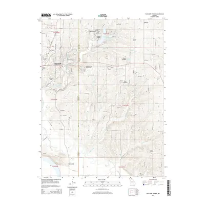 2014 Excelsior Springs2014 Print · USGSThe Fishing River valley and its surrounding highlands are captured here in the early twenty-first century as the area transitioned from rural to suburban. Family historians can trace numerous sites including Crown Hill Cemetery, the Vibbard settlement, and Lake Maurer.
 - 2014 Map of Elmira, 2014 Print
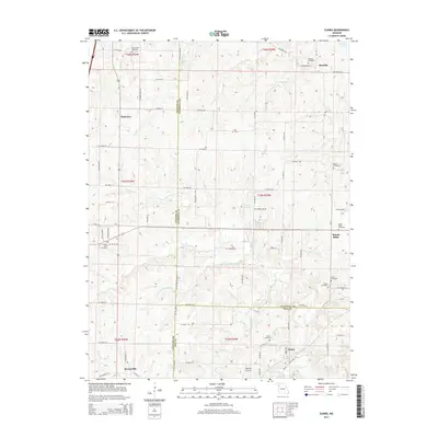 2014 Elmira2014 Print · USGSNorthwestern Missouri at the junction of Caldwell, Clinton, and Ray counties shows a landscape of small rural settlements and extensive watercourses. Genealogists can trace family names through numerous burial sites like Mirabile Cemetery, Cates Cemetery, and Allen Cemetery.
 - 2014 Map of Lawson, 2014 Print
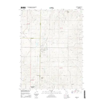 2014 Lawson2014 Print · USGSThe tri-county border area of Missouri comes into focus in this recent survey of the lands surrounding Lawson. Genealogists and local historians can trace the rural reaches of Vibbard and Claysville or locate landmarks like Elmira Camp and Lawson Lake.
 - 2014 Map of Polo, 2014 Print
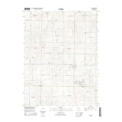 2014 Polo2014 Print · USGSThe intersection of Caldwell and Ray Counties comes into focus during the early twenty-first century, centered on the community of Polo. Genealogists can trace a wealth of burial sites across the farmland, from Dunkard Cemetery to McVeigh Cemetery.
 - 2014 Map of Rayville, 2014 Print
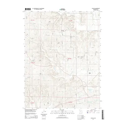 2014 Rayville2014 Print · USGSRay County's rural townships are documented in the early twenty-first century as a landscape of established family farms and small crossroads communities. Genealogists can locate several historic burial grounds like Hamilton Cemetery and Pettis Cemetery near Elkhorn.
 - 2015 Map of Stet, 2015 Print
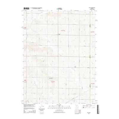 2015 Stet2015 Print · USGSThe rural borderlands between Ray and Carroll Counties are captured here in the mid-2010s. Local researchers can locate family sites at Penniston Cemetery or trace the early foundations of Stet, Russellville, and Regal among the many forks of Wakenda Creek.
 - 2015 Map of Lexington West, 2015 Print
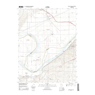 2015 Lexington West2015 Print · USGSThe Missouri River valley along the Ray and Lafayette county line is captured here in the mid-2010s. Researchers can trace historical riverfront settlements like Lexington and Wellington or locate family landmarks such as Foster Cemetery and Martin Cemetery.
Showing maps 1-25 of 64
Top cities of Ray County
- Richmond historical maps
- Orrick historical maps
- Hardin historical maps
- Henrietta historical maps
- Crystal Lakes historical maps
- Camden historical maps
See more
Frequently asked questions
- What are the different types of historical maps available for Ray County?
- What is the oldest map of Ray County?
- Where can I purchase historical maps of Ray County for my home or office?
- Where can I download high-res historical maps of Ray County?
- Are there historical topographic maps available for Ray County?
- Is there historical aerial imagery available for Ray County?
- Where are historical maps of Ray County sourced from?