Old Maps of Rogersville, Missouri for Academic Research
Study the evolution of Rogersville with 26 high-resolution historic maps. Whether you're teaching, researching, or modeling changes in land use, these maps provide essential visual documentation of urban, environmental, and geographic change.
- Analyze long-term change: Track patterns in development, transportation, and natural features.
- Ideal for environmental or urban studies: Support academic projects with primary historical map data.
- Use in the classroom or lab: Educators and researchers rely on these maps to bring historical context to life.
These maps are a powerful tool for teaching, research, and visualizing how Rogersville has changed over the decades.
Rogersville, MO maps
(26)- 1884 Map of Springfield
 1884 Springfield1884 Print · USGSSpringfield emerged as a critical railroad junction in Southwest Missouri during the 1880s. Local researchers can trace the early layouts of Springfield, Willard, and Republic as they developed along the St. Louis and San Francisco Railroad.
 - 1886 Map of Springfield, 1896 Print
 1886 Springfield1896 Print · USGSSouthwest Missouri thrived as a regional rail hub in the 1880s, centering on the growth of Greene and Christian counties. Researchers can trace early rural settlements and rail stops like Springfield, Fair Grove, and Republic before the turn of the century.5 unique versions available
 - 1937 Map of Ozark
 1937 Ozark1937 Print · USGSChristian and Greene Counties are captured here in the mid-1930s, showing a landscape of river-valley farms and small railroad towns. Genealogists can trace family names through dozens of rural landmarks like Roller Cemetery, Riverside Inn, and the Whiteoak Church.
 - 1943 Map of Ozark, 1968 Print
 1943 Ozark1968 Print · USGSThe James River valley south of Springfield comes alive in the 1940s, showing a landscape defined by small settlements and the St Louis - San Francisco line. Genealogists can trace family roots at Holland Cem or locate old school sites like Blue Star Sch and Plummer Sch.
 - 1945 Map of Ozark
 1945 Ozark1945 Print · USGSSouth of Springfield in the mid-1940s, this area shows a landscape transitioning from rural farmsteads to modern aviation hubs. Genealogists can trace family names at Holland Cem, Riverside Inn, and numerous school sites like Pedelo Sch.2 unique versions available
 - 1954 Map of Springfield
 1954 Springfield1954 Print · USGSThe Missouri Ozarks are captured here during the post-war era, showing the expansion of Springfield and the surrounding river valleys. Genealogists and historians can trace local landmarks like Mount Comfort Cemetery and the Fort Leonard Wood military grounds.6 unique versions available
 - 1958 Map of Springfield
 1958 Springfield1958 Print · USGSThe Missouri Ozarks are captured during the mid-century era of growth, centered on the bustling hub of Springfield. Genealogists and historians can trace family roots through numerous landmarks like Ebenezer Church, Stockton Cem, and the various county courthouses.
 - 1959 Map of Springfield
 1959 Springfield1959 Print · USGSThe Missouri Ozarks are captured here during a decade of postwar growth and increasing highway connectivity. Researchers can trace the legacy of the St Louis-San Francisco RR and locate early sites in Springfield, Lebanon, and Mountain Grove.
 - 1970 Map of Rogersville, 1971 Print
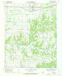 1970 Rogersville1971 Print · USGSRogersville and the surrounding Ozark townships are captured here at the end of the sixties as rural life centered on the railroad and local creeks. Researchers can trace family roots through numerous country burial grounds and churches like Holland Cem, Roller Cem, and Grace Gospel Ch.3 unique versions available
 - 1970 Map of Oak Grove Heights, 1971 Print
 1970 Oak Grove Heights1971 Print · USGSWebster County’s rural landscape is captured here in the early seventies, centered on Oak Grove Heights and the James River. Genealogists can locate family sites at Henderson Cem, Panther Valley Cem, and numerous country chapels.2 unique versions available
 - 1970 Map of Ozark, 1971 Print
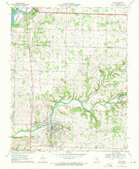 1970 Ozark1971 Print · USGSChristian County at the start of the seventies reveals a landscape where the river-and-rail economy of Ozark meets the karst terrain of the Missouri hills. Trace local family history through numerous burial grounds like Weaver Cem and Pembina Cem, or find landmarks like Smallin Cave and the Drag Strip.3 unique versions available
 - 1979 Map of Ozark, 1981 Print
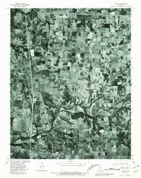 1979 Ozark1981 Print · USGSChristian County, Missouri, at the end of the seventies shows a landscape defined by traditional farming and the emerging growth of Ozark. Genealogists and local historians can trace the property lines and rural crossroads around Mentor, Cassidy, and the banks of Finley Creek.
 - 1979 Map of Rogersville, 1981 Print
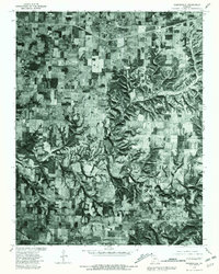 1979 Rogersville1981 Print · USGSThe Missouri countryside south of the Springfield area is captured here in the late seventies through detailed aerial photoimagery. Researchers can trace the rural layouts of Rogersville, Sparta, and Cody alongside the winding course of Finley Creek.
 - 1982 Map of Springfield, 1983 Print
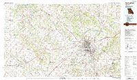 1982 Springfield1983 Print · USGSSpringfield and the surrounding Ozark plateau are captured in the early eighties as the region balanced urban growth with its agricultural roots. Genealogists and researchers can trace the locations of White Chapel, the State Sanatorium, and older rail stops like Brookline.
 - 2011 Map of Oak Grove Heights, 2011 Print
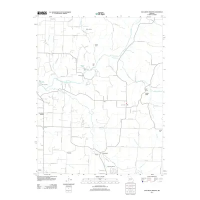 2011 Oak Grove Heights2011 Print · USGSEastern Greene County is documented here during a period of modern growth and rural preservation. Genealogists and local historians can locate the All Post Office, the Wilkerson Cemetery, and tracing the path of the James River past Panther Valley.
 - 2011 Map of Rogersville, 2011 Print
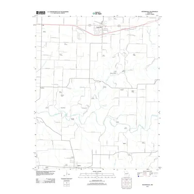 2011 Rogersville2011 Print · USGSThe northern edge of Christian County comes into focus in the early 21st century, centered on the growing communities of Rogersville and Sparta. Researchers can trace dozens of family burial sites including Casebolt Cemetery and Tallman Cemetery, or locate landmarks like Hindman Airport and Ollie Lasley Spring.
 - 2011 Map of Ozark, 2011 Print
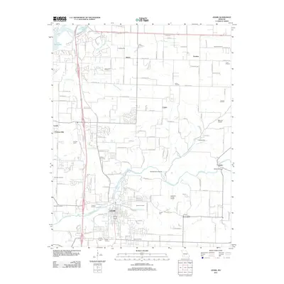 2011 Ozark2011 Print · USGSOzark and the surrounding Christian County countryside are shown here during a period of modern growth and suburban expansion. Genealogists can trace family heritage through a dense network of burial sites like Gibson-Porter Cemetery and Weaver Cemetery along the Finley Creek valley.
 - 2015 Map of Rogersville, 2015 Print
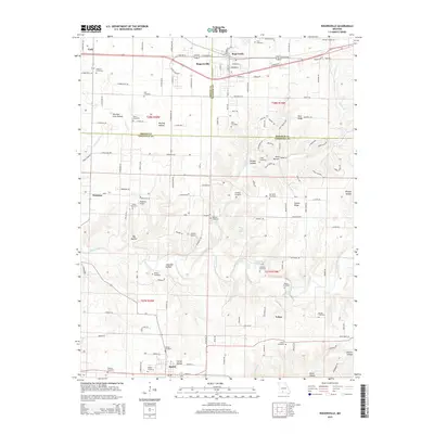 2015 Rogersville2015 Print · USGSThe Missouri Ozarks south of Springfield are seen here in the mid-2010s, centered on the growing corridors of Rogersville and Sparta. Genealogists can locate numerous family burial sites, including Tallman Cemetery and Casebolt Cemetery, while tracing the course of Finley Creek.
 - 2015 Map of Oak Grove Heights, 2015 Print
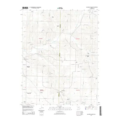 2015 Oak Grove Heights2015 Print · USGSThe James River corridor south of the Greene and Webster county line is documented here in the early twenty-first century. Genealogists can locate several local burial grounds including Henderson Cemetery and the Palmetto Cemetery.
 - 2015 Map of Ozark, 2015 Print
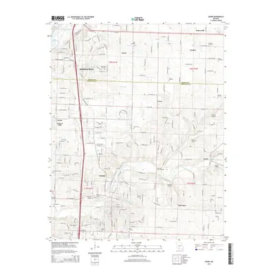 2015 Ozark2015 Print · USGSThe Finley River valley south of Springfield comes alive in this mid-2010s survey of Ozark and its surrounding communities. Genealogists can trace a remarkable number of local burial sites like Hopewell Cemetery, Fulton Cemetery, and Weaver Cemetery across the Greene and Christian county lines.
 - 2017 Map of Rogersville, 2017 Print
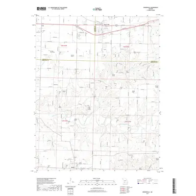 2017 Rogersville2017 Print · USGSThe Ozark plateau south of Springfield is captured here in the late twenty-teens, showing the rural communities of Rogersville and Sparta. Genealogists can trace family names through over a dozen local burial sites, including Monger Cem, Tallman Cem, and Lassley Cem.
 - 2017 Map of Ozark, 2017 Print
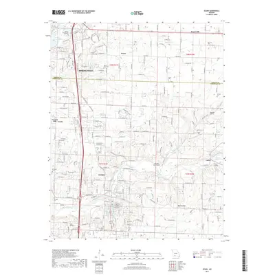 2017 Ozark2017 Print · USGSThe southern outskirts of Springfield and the valley of Ozark meet in this 2017 topographic survey. Genealogists and local historians can trace the legacy of family lands through numerous sites like Weaver Cem, McCracken, and Lindenlure Lake.
 - 2017 Map of Oak Grove Heights, 2017 Print
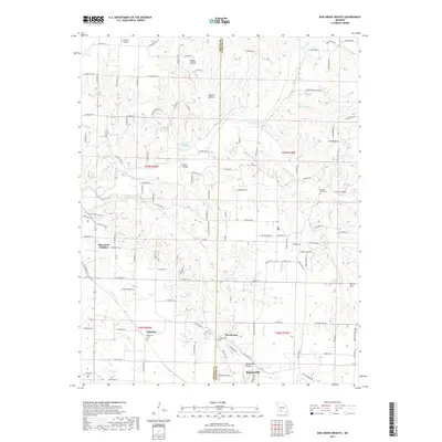 2017 Oak Grove Heights2017 Print · USGSGreene and Webster Counties come into focus during the late 2010s, showing a landscape where small settlements meet the winding James River. Genealogists and local historians can trace family locations near Palmetto Cem, the settlement of Henderson, and landmarks like Steel Bridge.
 - 2021 Map of Ozark, 2021 Print
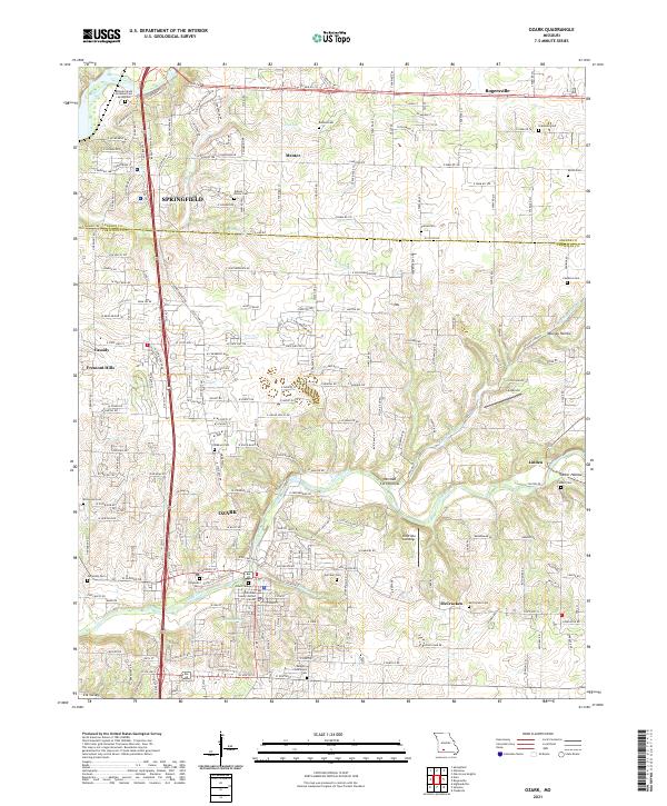 2021 Ozark2021 Print · USGSOzark and the rural fringes of Springfield are captured in this 2021 survey during a period of steady residential growth. Genealogists can locate several historic burial sites like Vaught-Oddfellow Cem and Weaver Cem or trace the winding waters of Finley Creek.
 - 2021 Map of Rogersville, 2021 Print
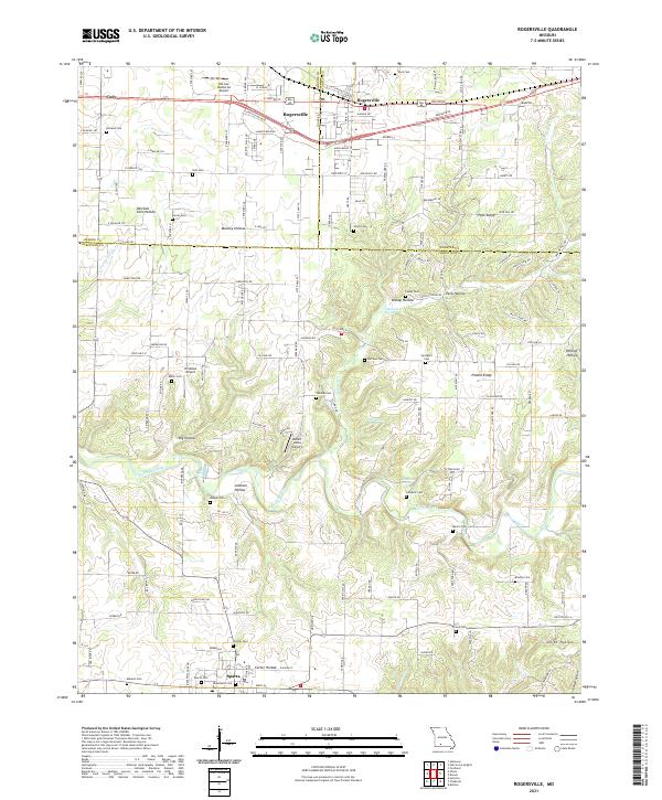 2021 Rogersville2021 Print · USGSThis Greene and Christian County borderland near the Ozarks shows a landscape of deep hollows and ridgelines at the start of the 2020s. Genealogists and local historians can trace numerous rural burial sites including Holland Cem, Spilliens Cem, and Farmer Cem.
Showing maps 1-25 of 26
Top cities near Rogersville
- Springfield historical maps
- Nixa historical maps
- Ozark historical maps
- Marshfield historical maps
- Strafford historical maps
- Sparta historical maps
See more
Top neighborhoods of Rogersville
Frequently asked questions
- What are the different types of historical maps available for Rogersville?
- What is the oldest map of Rogersville?
- Where can I purchase historical maps of Rogersville for my home or office?
- Where can I download high-res historical maps of Rogersville?
- Are there historical topographic maps available for Rogersville?
- Is there historical aerial imagery available for Rogersville?
- Where are historical maps of Rogersville sourced from?