Old Maps of Clarkson Valley, Missouri for Metal Detecting
Plan your next treasure hunt with 24 historic maps of Clarkson Valley. Find old homesites, ghost towns, trails, and gathering spots that may be lost to time — perfect for identifying promising metal detecting locations.
- Locate forgotten sites: Uncover places like long-lost settlements, abandoned rail lines, or gathering spots.
- Plan better hunts: Use map overlays combined with LiDAR or satellite views to narrow in on historically rich areas.
- Made for detectorists: Thousands of hobbyists use these maps to discover relics, coins, and hidden history.
Use these historic maps to boost your research and find new opportunities beneath the surface of Clarkson Valley.
Clarkson Valley, MO maps
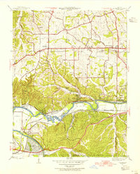
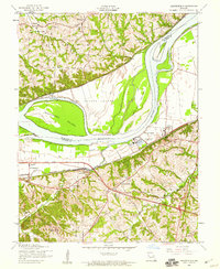
(24)- 1903 Map of O'Fallon
 1903 O'Fallon1903 Print · USGSSt. Charles County at the turn of the century is a labyrinth of river islands and rail lines at the confluence of the Missouri and Mississippi. Researchers can trace old river landings like Cap Au Gris Landing and family-named settlements from Moscow Mills to New Melle.5 unique versions available
 - 1931 Map of Manchester SE
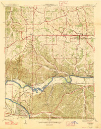
 1931 Manchester SE1931 Print · USGSSt. Louis County and Jefferson County were still largely defined by the river and rail lines during the early 1930s. Researchers can trace the early layout of Times Beach or locate family-history landmarks like the Rankin Cem and Oak Ridge Sch.
 - 1932 Map of Manchester NE
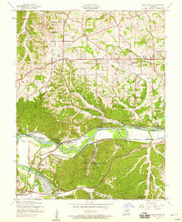
 1932 Manchester NE1932 Print · USGSThe Missouri River floodplain and the rising bluffs of St. Louis County are captured here in the early 1930s. Genealogists and local historians can trace the foundations of Chesterfield and Bellefontaine alongside sites like Zion Sch and the St Louis City Water Works.
 - 1945 Map of Manchester, 1955 Print
 1945 Manchester1955 Print · USGSWestern St. Louis County is shown at a pivotal moment in the 1940s as suburban growth began to meet rural river life. Genealogists and historians can trace old homesteads and landmarks like Times Beach, Sherman P O, and the Sulphur Springs Sch.
 - 1947 Map of Manchester
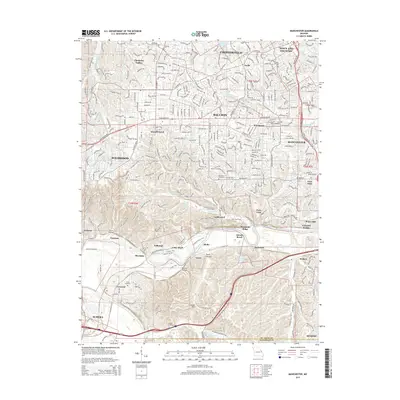
 1947 Manchester1947 Print · USGSSt. Louis County is captured here just after the war, showing the distinct identities of communities along the historic Manchester Road. Genealogists and historians can locate family landmarks like the Ranken Cem, several local schoolhouses, and the original street grid of Times Beach.2 unique versions available
 - 1947 Map of Chesterfield
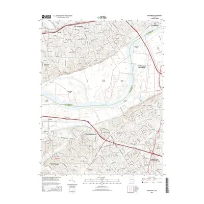
 1947 Chesterfield1947 Print · USGSMid-century St. Louis County remains a landscape of river bottoms and rising bluffs as suburban expansion begins to reach westward. Genealogists can trace family footprints through rural sites like Gumbo, the Bellefontaine Sch, and Beeffee Ch.2 unique versions available
 - 1949 Map of Saint Louis
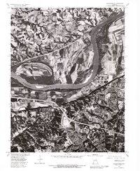
 1949 Saint Louis1949 Print · USGSGreater St. Louis and its surrounding river valleys are captured here just after the war, showing the metropolitan core and the rural Ozark fringe. Researchers can trace the sprawling rail network of the Wabash RR or locate landmarks like Meramec Caverns Airport and Scott Air Force Base.2 unique versions available
 - 1954 Map of Manchester, 1959 Print
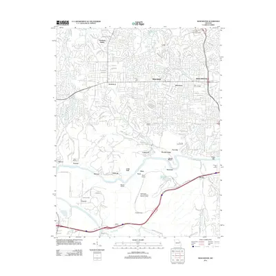
 1954 Manchester1959 Print · USGSThe Meramec valley and western St. Louis County are seen here in the mid-fifties, during a period of suburban expansion and industrial utility. Genealogists can locate family landmarks like Lewis Cem, the Oak Ridge Sch (Abandoned), and the original platting of Times Beach.8 unique versions available
 - 1954 Map of Chesterfield, 1959 Print
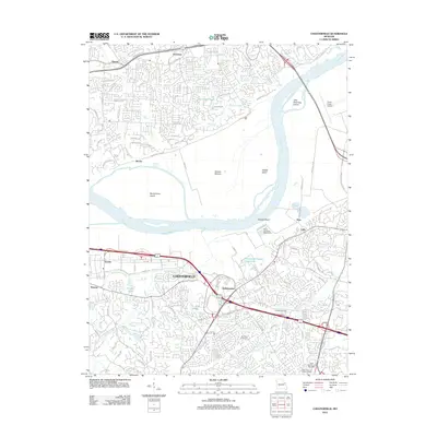
 1954 Chesterfield1959 Print · USGSIn the mid-fifties, the Missouri River bluffs supported a mix of riverside industry and historic rural centers. Genealogists and local historians can trace the footprint of Gumbo, Chesterfield, and Bellefontaine before the modern expansion, locating landmarks like St Thomas Ch and the Chicago and Pacific rail line.5 unique versions available
 - 1962 Map of St. Louis
 1962 St. Louis1962 Print · USGSThe mid-century gateway to the west shows the metropolitan expansion of St Louis alongside its critical river confluences. Genealogists and historians can trace the rail corridors of the Missouri Pacific RR and settlements from Fulton to De Soto.
 - 1963 Map of St. Louis, 1970 Print
 1963 St. Louis1970 Print · USGSSt. Louis and its surrounding river valleys are captured here during the peak of mid-century suburban expansion and industrial activity. Trace the historic rail routes of the Norfolk and Western Ry or locate the St Louis Ordnance Plant and early stretches of US Highway 66.4 unique versions available
 - 1966 Map of St. Louis
 1966 St. Louis1966 Print · USGSThe St. Louis metropolitan area and its surrounding river valleys are captured here during the mid-sixties era of suburban growth and industrial strength. Genealogists and historians can trace the foundations of local communities through sites like Old Pioneer Cem, Parks College, and the Jefferson Barracks Military Reservation.
 - 1979 Map of Chesterfield, 1981 Print
 1979 Chesterfield1981 Print · USGSSt. Louis County and St. Charles County are captured during a period of suburban transition in the late seventies. Researchers can trace the development of Chesterfield and Bellefontaine or study the agricultural bottomlands near Howell.
 - 1979 Map of Manchester, 1981 Print
 1979 Manchester1981 Print · USGSWestern St. Louis County suburban expansion is captured here in the late seventies as residential tracts fill the space between established towns. Trace the streets of Times Beach or the riverfront of Valley Park along the Meramec River.
 - 1985 Map of St Louis
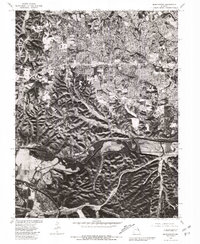
 1985 St Louis1985 Print · USGSThe St. Louis metropolitan area and its river confluences are captured here during a period of significant suburban expansion in the 1980s. Genealogists and historians can trace the development of older neighborhoods and landmarks like Jefferson Barracks, Cahokia Mounds State Park, and Washington University.3 unique versions available
 - 1994 Map of Chesterfield, 1995 Print
 1994 Chesterfield1995 Print · USGSMid-1990s St. Louis County shows a landscape in transition as suburban development reaches the Missouri River bluffs. Researchers can trace the layout of Chesterfield, find the Gumbo Cem, or locate landmarks like Maryville University.
 - 2012 Map of Manchester, 2012 Print
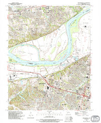
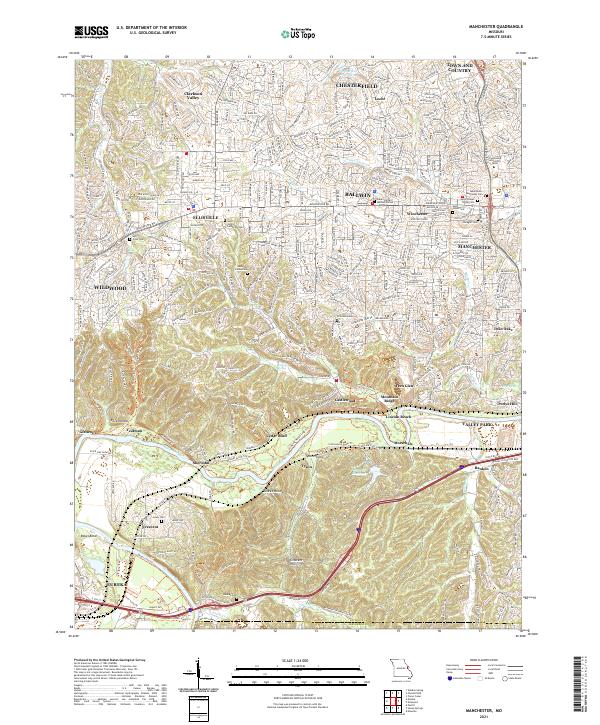
 2012 Manchester2012 Print · USGSCovers Clarkson Valley, including Chesterfield, Wildwood, and other nearby areas
 - 2012 Map of Chesterfield, 2012 Print
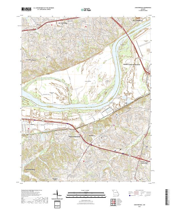
 2012 Chesterfield2012 Print · USGSCovers Clarkson Valley, including Saint Charles, Saint Peters, and other nearby areas
 - 2015 Map of Chesterfield, 2015 Print
 2015 Chesterfield2015 Print · USGSCovers Clarkson Valley, including Saint Charles, Saint Peters, and other nearby areas
 - 2015 Map of Manchester, 2015 Print
 2015 Manchester2015 Print · USGSCovers Clarkson Valley, including Chesterfield, Wildwood, and other nearby areas
 - 2017 Map of Manchester, 2017 Print
 2017 Manchester2017 Print · USGSCovers Clarkson Valley, including Chesterfield, Wildwood, and other nearby areas
 - 2017 Map of Chesterfield, 2017 Print
 2017 Chesterfield2017 Print · USGSCovers Clarkson Valley, including Saint Charles, Saint Peters, and other nearby areas
 - 2021 Map of Manchester, 2021 Print
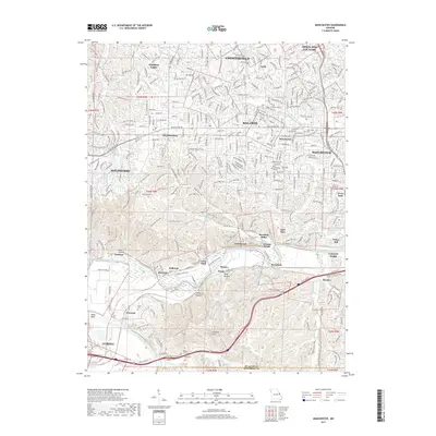
 2021 Manchester2021 Print · USGSSt. Louis County's suburban expansion meets the winding Meramec River valley in the early 2020s. Genealogists and local historians can trace family markers at Saint Johns Lutheran Cem or follow the BNSF Railway through Sherman and Glencoe.
 - 2021 Map of Chesterfield, 2021 Print
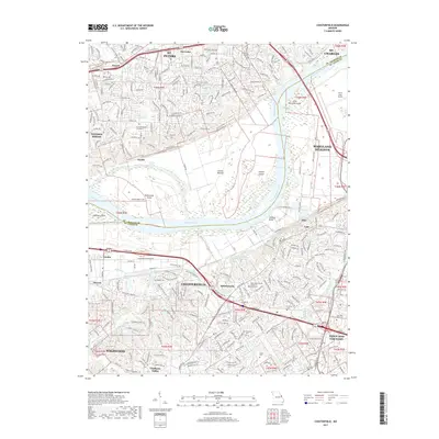
 2021 Chesterfield2021 Print · USGSChesterfield and the Missouri River corridor are shown here in the early twenty-first century as suburban growth meets the river's floodplain. Genealogists can trace family landmarks like the Stuart Family Cem and Everwine Cem, or locate regional institutions like Logan University and the Creve Coeur Airport.
End of results
Showing maps 1-24 of 24
Top cities near Clarkson Valley
- O'Fallon historical maps
- Saint Charles historical maps
- Saint Peters historical maps
- Florissant historical maps
- Chesterfield historical maps
- Wentzville historical maps
See more
Frequently asked questions
- What are the different types of historical maps available for Clarkson Valley?
- What is the oldest map of Clarkson Valley?
- Where can I purchase historical maps of Clarkson Valley for my home or office?
- Where can I download high-res historical maps of Clarkson Valley?
- Are there historical topographic maps available for Clarkson Valley?
- Is there historical aerial imagery available for Clarkson Valley?
- Where are historical maps of Clarkson Valley sourced from?