2010s Maps of Ste. Genevieve County, Missouri
Explore 54 historic maps of Ste. Genevieve County from the 2010s. These maps offer a rare glimpse into what life looked like during the 2010s — showing old roads, neighborhoods, homes, and landmarks that have changed or disappeared over time.
Whether you're researching your family's past, planning a metal detecting trip, or studying how Ste. Genevieve County's landscape evolved across the 2010s, these high-resolution maps are a powerful tool for exploring the history of this region.
- Focus on a specific era: All maps on this page are from the 2010s, giving you a focused view of this time period.
- See what’s changed: Compare century-old streets, trails, and buildings to today's modern landscape using overlays and satellite layers.
- Research with precision: Use these maps for genealogy, historical research, land use analysis, or educational projects.
- View, download, or print: Maps are fully viewable online in high resolution, and can be downloaded or printed for your own records.
Start exploring Ste. Genevieve County's history through authentic maps from the 2010s. This is your window into the past.
Ste. Genevieve County, MO maps
(54)- 2011 Map of Parker Lake, 2011 Print
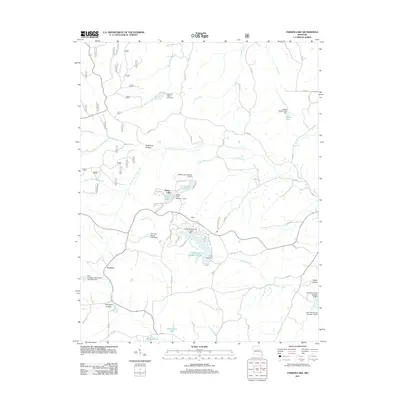 2011 Parker Lake2011 Print · USGSPerry County at the start of the 2010s shows a landscape of rural settlements and modern lake communities. Researchers can trace land development around Port Perry Number 2 Lake and locate quiet crossroads like Barks and Corners.
 - 2011 Map of Coffman, 2011 Print
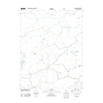 2011 Coffman2011 Print · USGSSoutheast Missouri at the start of the 2010s reveals a landscape of isolated hills and creek-fed valleys. Genealogists and local historians can trace family ties at Jackson Cemetery or find rural landmarks like Wild Hog Bluff and Clearwater.
 - 2011 Map of Farmington, 2011 Print
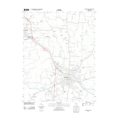 2011 Farmington2011 Print · USGSFarmington and its surrounding townships are shown here in the early twenty-first century as the region balanced its urban center with deep-rooted rural lineages. Genealogists can trace family connections through over twenty named burial grounds, including Cunningham Cemetery, Haile Cemetery, and the Hillview Memorial Gardens.
 - 2011 Map of Womack, 2011 Print
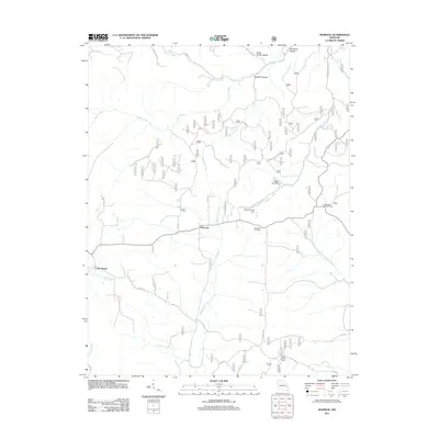 2011 Womack2011 Print · USGSThe rural landscape of Ste. Genevieve County is documented here in the early twenty-first century, centered on the community of Womack. Genealogists and local historians can locate the McDowell Cemetery and trace the paths of Upper Castor River or the Whitewater Lookout Tower.
 - 2011 Map of Sprott, 2011 Print
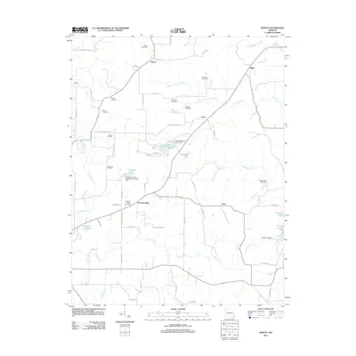 2011 Sprott2011 Print · USGSSte. Genevieve County’s rural uplands are shown in detail during the early 2010s, centering on the crossroads of the Chestnut Ridge community. Genealogists can trace family footprints through several named graveyards like Murphy Cemetery and McClintock Cemetery or the historic settlement at Sprott.
 - 2011 Map of Lawrenceton, 2011 Print
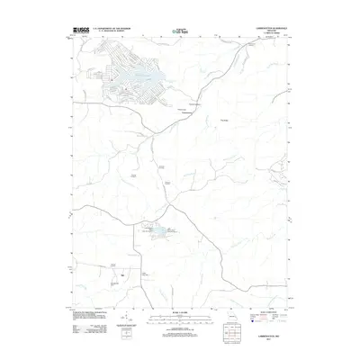 2011 Lawrenceton2011 Print · USGSSte. Genevieve County at the start of the 2010s reveals a landscape of modern lake developments and deeply rooted family histories. Trace local ancestry at Bequette Cemetery or Patterson Cemetery, and locate old landmarks like the Mill near Little Vine Hill.
 - 2011 Map of Sainte Genevieve, 2011 Print
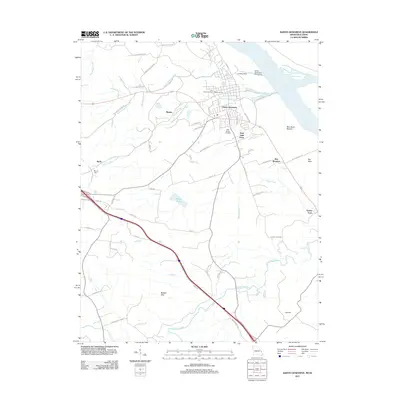 2011 Sainte Genevieve2011 Print · USGSSainte Genevieve and the Missouri riverfront are documented here during the early twenty-first century as the community expanded into the surrounding hills. Genealogists and local historians can trace family sites near Holy Cross Cemetery, the historic Big Field, and the outlying settlement of New Bourbon.
 - 2011 Map of Knob Lick, 2011 Print
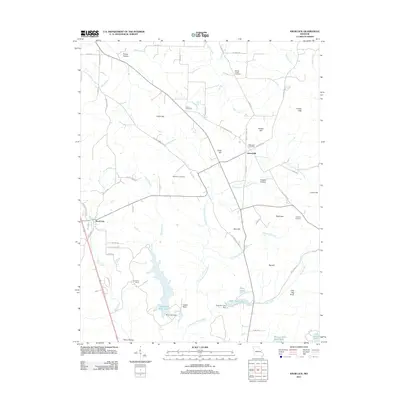 2011 Knob Lick2011 Print · USGSSaint Francois County remains a landscape of hill-country settlements and family homesteads as seen in the early twenty-first century. Genealogists can trace local roots through the Wesley Chapel Cemetery and Simpson Cemetery, or locate old landmarks like Libertyville and Knob Lick.
 - 2011 Map of Minnith, 2011 Print
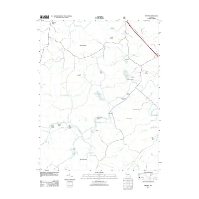 2011 Minnith2011 Print · USGSMinnith and the surrounding hollows of Sainte Genevieve County are captured here just over a decade ago. Researchers can trace ancestral sites and local landmarks like Roth Cemetery, Graveyard Hill, and the dual basins of Lake Minnie Ha-Ha Upper.
 - 2011 Map of French Village, 2011 Print
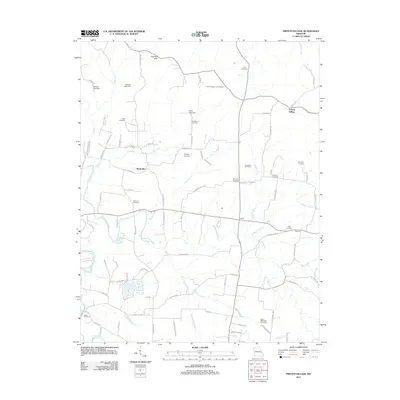 2011 French Village2011 Print · USGSSaint Francois County at the start of the 2010s reveals a rural landscape defined by family legacies and branching creek systems. Genealogists can trace local history through numerous burial sites like Salem Methodist Cemetery and Mostiller Cemetery, or find old crossroads at Hazel Run and Jaydee.
 - 2011 Map of Weingarten, 2011 Print
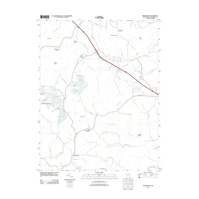 2011 Weingarten2011 Print · USGSSte. Genevieve County at the start of the 2010s shows a landscape of deep-rooted settlements and recreational lake developments. Genealogists and historians can trace the paths between New Offenburg, Weingarten, and the historic Copper Mine or find family landmarks like Joe Schilly Hollow.
 - 2012 Map of Bloomsdale, 2012 Print
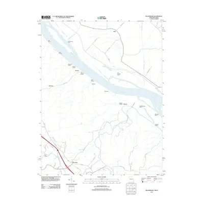 2012 Bloomsdale2012 Print · USGSThe riverfront and uplands of Ste. Genevieve County are documented here during the early twenty-first century. Researchers can trace land patterns around Bloomsdale and find river-centric landmarks like Fort Chartres Island, Backbone, and the small community of Brickeys.
 - 2012 Map of Danby, 2012 Print
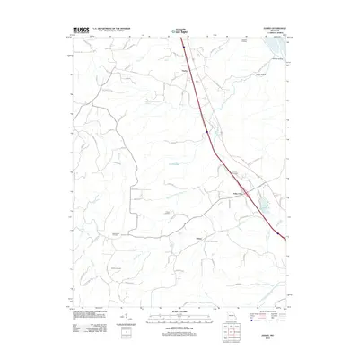 2012 Danby2012 Print · USGSSte. Genevieve County at the start of the 2010s reveals a quiet landscape of rural settlements and family-named hollows. Genealogists can locate several burial sites like Hoover Cemetery and Moeller Cemetery, or trace the winding course of Saline Creek.
 - 2012 Map of Halifax, 2012 Print
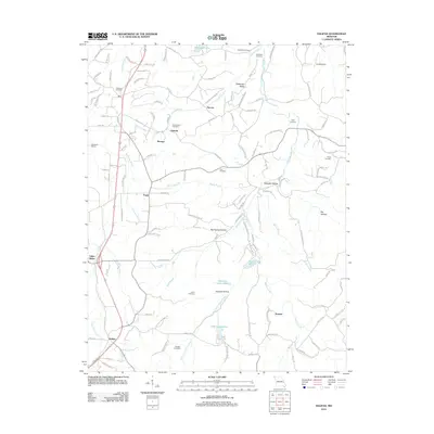 2012 Halifax2012 Print · USGSThe eastern Missouri hills near the Jefferson and Saint Francois county line appear here in the early twenty-first century. Genealogists and local historians can locate several historic family burial sites, including Byrd Cemetery, Lester Cemetery, and the Old German Cemetery.
 - 2012 Map of Selma, 2012 Print
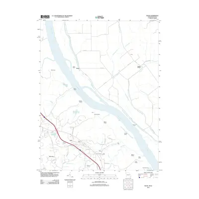 2012 Selma2012 Print · USGSThe Mississippi River corridor comes into sharp focus during the early 2010s, revealing a landscape of historic river landings and family cemeteries. Genealogists can trace deep local roots at Cook and Wagoner Cemetery, or locate old river points like Kemper Landing and Rush Tower.
 - 2012 Map of Lithium, 2012 Print
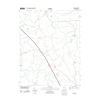 2012 Lithium2012 Print · USGSPerry County near the Mississippi River floodplain remains a landscape of springs and small settlements in the early 2010s. Researchers can trace local genealogy and land use through Brown Cemetery and the waters of Lithium Spring and Blue Spring.
 - 2012 Map of Kaskaskia, 2012 Print
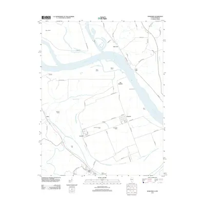 2012 Kaskaskia2012 Print · USGSThe Illinois-Missouri borderlands along the Mississippi River are captured here in a moment of modern continuity for these ancient river settlements. You can trace the unique geography of Kaskaskia Island, locating sites like Old Kaskaskia, Dozaville, and the historic Fort Gage.
 - 2012 Map of Prairie du Rocher, 2012 Print
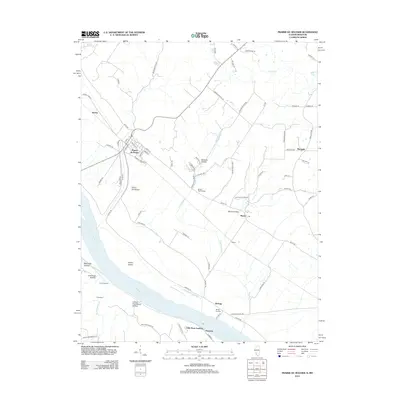 2012 Prairie du Rocher2012 Print · USGSThe Mississippi River bottoms and adjacent bluffs come into focus in 2012, showing the enduring layout of French colonial-era settlements. Researchers can trace river landings such as Mudds Landing, the ancient Modoc Rock Shelter, and the small community of Marigold.
 - 2015 Map of Halifax, 2015 Print
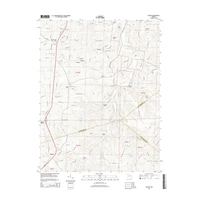 2015 Halifax2015 Print · USGSSoutheast Missouri at the junction of three counties shows a rural landscape of ridges and hollows during the mid-2010s. Genealogists can locate several family burial grounds including Wheeler Cemetery and Lester Cemetery near the old mining center at Valles Mines.
 - 2015 Map of Minnith, 2015 Print
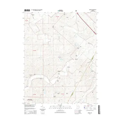 2015 Minnith2015 Print · USGSMinnith and the surrounding Ozark foothills of Ste. Genevieve County are captured here just after the millennium. Researchers can trace family history through local landmarks like Graveyard Hill, Roth Cemetery, and the deep valleys of Devils Den Hollow and Opossum Hollow.
 - 2015 Map of Parker Lake, 2015 Print
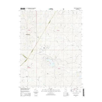 2015 Parker Lake2015 Print · USGSThe tri-county border area of Perry, Ste. Genevieve, and St. Francois counties comes into focus in this mid-2010s survey. Genealogists and local historians can trace family-named terrain like Anderson Hollow and Martin Hollow or locate settlements near Parker Lake.
 - 2015 Map of Lawrenceton, 2015 Print
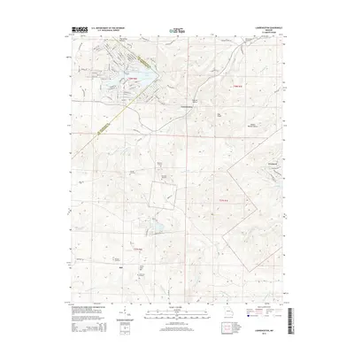 2015 Lawrenceton2015 Print · USGSSte. Genevieve and St. Francois counties are shown here in the mid-2010s, capturing a landscape of rural family settlements and winding creek valleys. Researchers can locate numerous family burial sites such as Patterson Cemetery and Mackley Cemetery near Lawrenceton.
 - 2015 Map of Knob Lick, 2015 Print
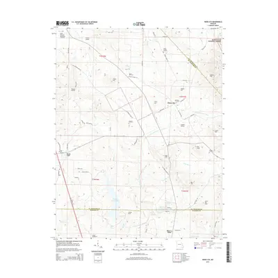 2015 Knob Lick2015 Print · USGSSoutheast Missouri's mining and forest lands are detailed here during the mid-2010s, centered on the historic Knob Lick area. Researchers can locate numerous family cemeteries such as Harris Cemetery and trace the paths of the Little Saint Francis River and Little Rock Cr.
 - 2015 Map of Sprott, 2015 Print
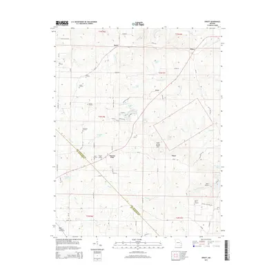 2015 Sprott2015 Print · USGSThe upland ridges of Ste. Genevieve and St. Francois counties come alive in this recent survey of the Missouri backcountry. Genealogists and historians can trace numerous family burial sites like Oakland Cemetery and Murphy Cemetery, or locate old community centers at Chestnut Ridge and Jonca.
 - 2015 Map of Coffman, 2015 Print
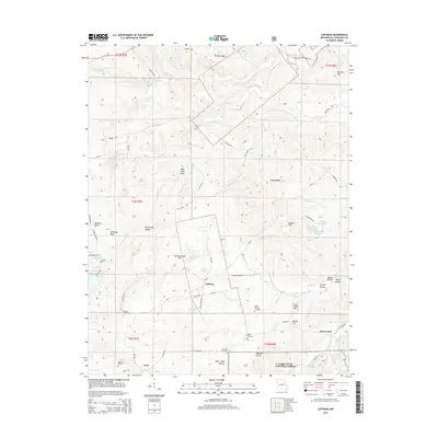 2015 Coffman2015 Print · USGSSte. Genevieve County shows its rural character in the early twenty-first century, centered on the small communities of Coffman and Avon. Researchers can trace family sites at Stone Church Cemetery or explore landmarks like Chimney Rock and Wild Hog Bluff.
Showing maps 1-25 of 54
Top cities of Ste. Genevieve County
Frequently asked questions
- What are the different types of historical maps available for Ste. Genevieve County?
- What is the oldest map of Ste. Genevieve County?
- Where can I purchase historical maps of Ste. Genevieve County for my home or office?
- Where can I download high-res historical maps of Ste. Genevieve County?
- Are there historical topographic maps available for Ste. Genevieve County?
- Is there historical aerial imagery available for Ste. Genevieve County?
- Where are historical maps of Ste. Genevieve County sourced from?