2020s Maps of Taney County, Missouri
Explore 25 historic maps of Taney County from the 2020s. These maps offer a rare glimpse into what life looked like during the 2020s — showing old roads, neighborhoods, homes, and landmarks that have changed or disappeared over time.
Whether you're researching your family's past, planning a metal detecting trip, or studying how Taney County's landscape evolved across the 2020s, these high-resolution maps are a powerful tool for exploring the history of this region.
- Focus on a specific era: All maps on this page are from the 2020s, giving you a focused view of this time period.
- See what’s changed: Compare century-old streets, trails, and buildings to today's modern landscape using overlays and satellite layers.
- Research with precision: Use these maps for genealogy, historical research, land use analysis, or educational projects.
- View, download, or print: Maps are fully viewable online in high resolution, and can be downloaded or printed for your own records.
Start exploring Taney County's history through authentic maps from the 2020s. This is your window into the past.
Taney County, MO maps
(25)- 2020 Map of Diamond City, 2020 Print
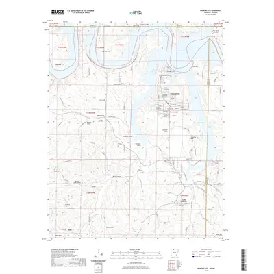 2020 Diamond City2020 Print · USGSThe Ozark shorelines of Boone County are captured here in the modern era, centered on the residential growth of Diamond City and Lead Hill. Researchers can trace local heritage through several burial sites like Pickard Cem and Foresee Cem.
 - 2020 Map of Denver, 2020 Print
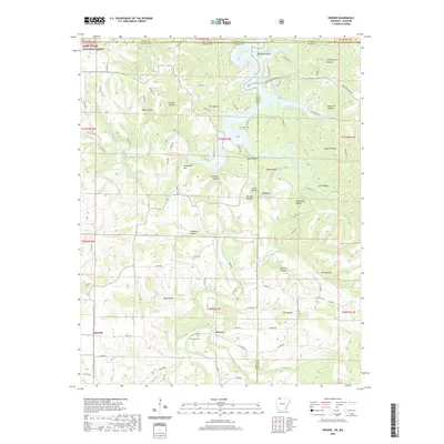 2020 Denver2020 Print · USGSThe Arkansas-Missouri state line passes through this Ozark plateau region in the 2020s, highlighting the communities of Denver and Farewell. Local historians can trace family locations near Denver Cem or explore the rugged hollows surrounding Table Rock Lake.
 - 2020 Map of Omaha, 2020 Print
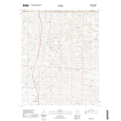 2020 Omaha2020 Print · USGSBoone County, Arkansas, at the Missouri border, appears here as a land of deep Ozark hollows and upland ridges. Researchers can trace the network of old settlements and family-named roads including Omaha, Cricket, and New Hope along with Cloverdale Ridge.
 - 2020 Map of Peel, 2020 Print
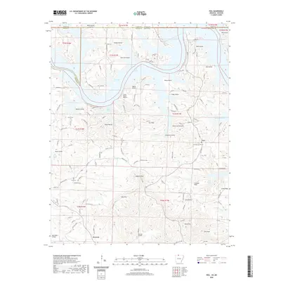 2020 Peel2020 Print · USGSThe Arkansas-Missouri borderlands come to life in this detailed survey of the Bull Shoals Lake region during the late twenty-teens. Researchers can trace ancestral roots at Peel Cem and Locust Cem or locate old homesteads near Monarch and Japanese Knob.
 - 2020 Map of Omaha NE, 2020 Print
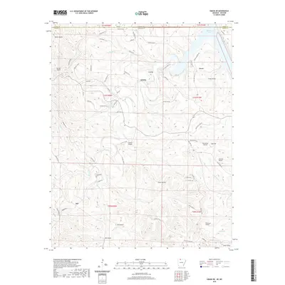 2020 Omaha NE2020 Print · USGSThe Arkansas-Missouri state line comes alive in this survey of northern Boone County during its modern era. Researchers can trace family ties at Cottonwood Cem or explore the rugged topography of White Oak Mtn and the many hollows leading to Bull Shoals Lake.
 - 2021 Map of Protem SW, 2021 Print
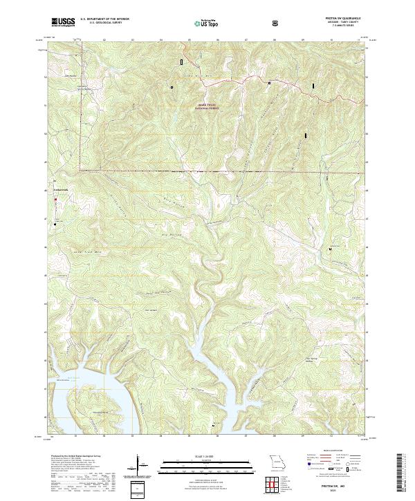 2021 Protem SW2021 Print · USGSThe Missouri Ozarks meet the northern reaches of the White River system in the early 2020s. Genealogists and local historians can trace legacy sites like Cedar Greek Cem and Wyman Cem near the shores of Bull Shoals Lake.
 - 2021 Map of Protem, 2021 Print
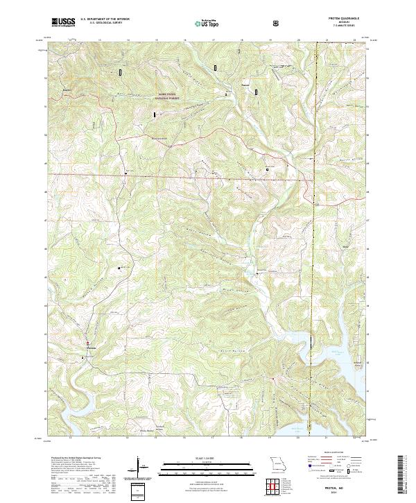 2021 Protem2021 Print · USGSThe Missouri Ozarks near the Taney and Ozark county line are documented here in the early 2020s, showing a landscape of deep hollows and forest ridges. Researchers can trace local history through numerous rural burial grounds like Protem Cem and Rhodes Cem, or locate family landmarks along Big Creek and Bull Shoals Lake.
 - 2021 Map of Forsyth, 2021 Print
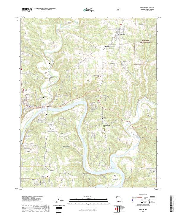 2021 Forsyth2021 Print · USGSThe area around Forsyth and the White River valley is shown in the early 2020s as a landscape of rural settlements and Ozark forest. Researchers can trace family sites at Kissee Mills Cem or follow historical river crossings along Blackwell Ferry Rd.
 - 2021 Map of Brownbranch, 2021 Print
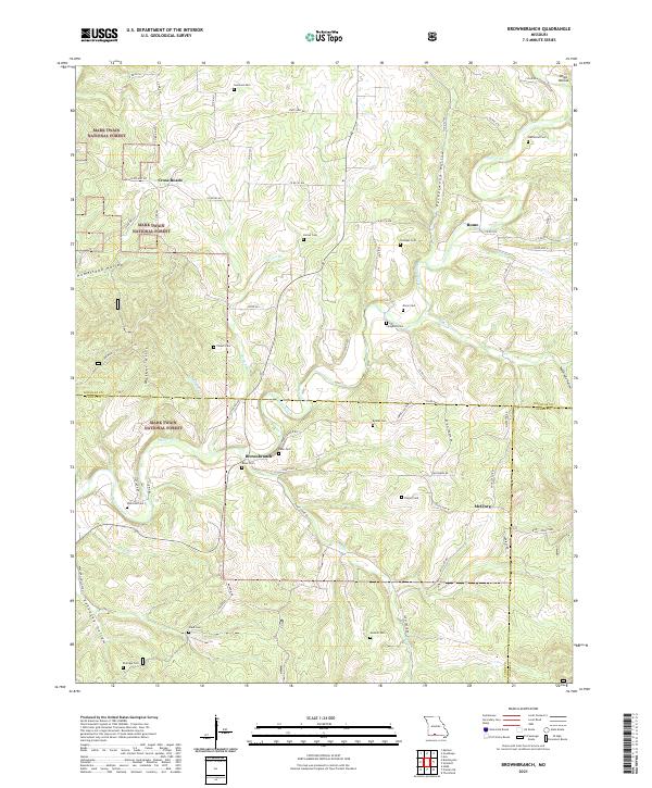 2021 Brownbranch2021 Print · USGSThe Ozark highlands at the meeting of three counties were defined by scattered hill settlements and forest life in the early 2020s. Trace local family roots through numerous burial sites like Watterson Cem and Dixon Cem near the banks of Beaver Creek.
 - 2021 Map of Spokane, 2021 Print
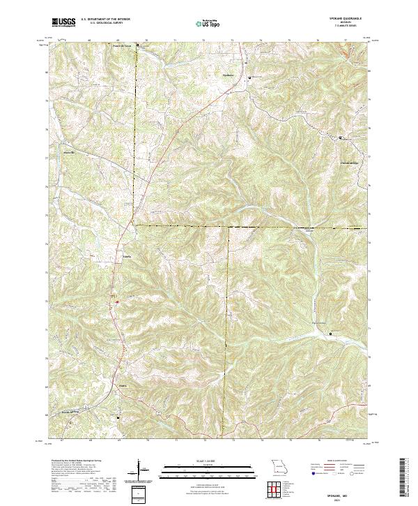 2021 Spokane2021 Print · USGSThe Ozark plateau in Christian and Stone counties comes alive in this survey of early twenty-first-century Missouri. Genealogists can locate family landmarks like Spokane Cem, Schupbach Cem, and the old settlement of Ponce de Leon.
 - 2021 Map of Hilda, 2021 Print
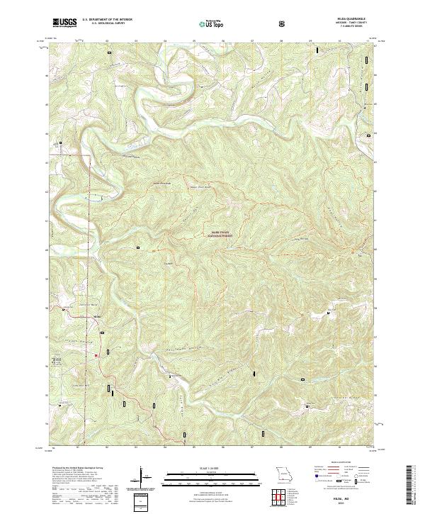 2021 Hilda2021 Print · USGSTaney County is depicted here in the early twenty-first century as a landscape of remote hollows and forest ridges. Researchers can locate numerous family burial sites like Lone Pilgrim Cem and Bray Cem near the winding waters of Beaver Creek.
 - 2021 Map of Day, 2021 Print
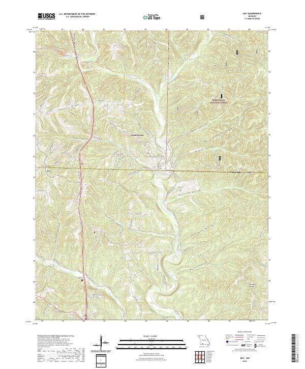 2021 Day2021 Print · USGSIn the modern Ozarks of Taney County, this 2021 survey shows the intersection of wilderness and development near the Mark Twain National Forest. Trace family landmarks like Cupp Cem or follow the terrain from Saddlebrooke to Day.
 - 2021 Map of Garber, 2021 Print
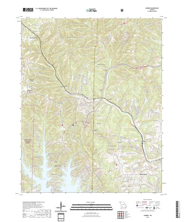 2021 Garber2021 Print · USGSThe Ozark ridges near the Stone and Taney County line are shown here in the modern era as they surround the waters of Table Rock Lake. Researchers can locate family burial sites at Evergreen Cem, trace the terrain of Mutton Hollow, or explore the land around Marvel Cave.
 - 2021 Map of Hollister, 2021 Print
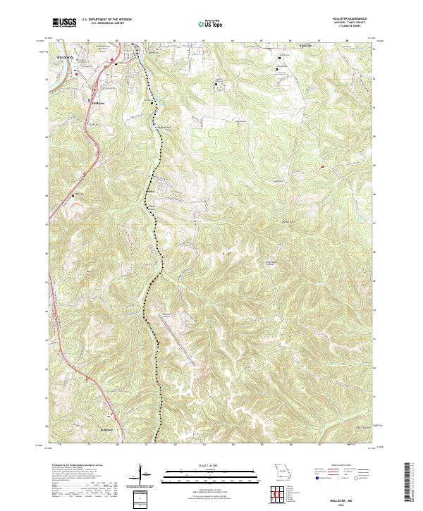 2021 Hollister2021 Print · USGSThe Taney County hills around Hollister and Branson are mapped here in contemporary detail during the early 2020s. Researchers can trace local heritage through numerous burial sites like Cedar Valley Cem and landmarks such as Murder Rock or Coalpit Hollow.
 - 2021 Map of Mincy, 2021 Print
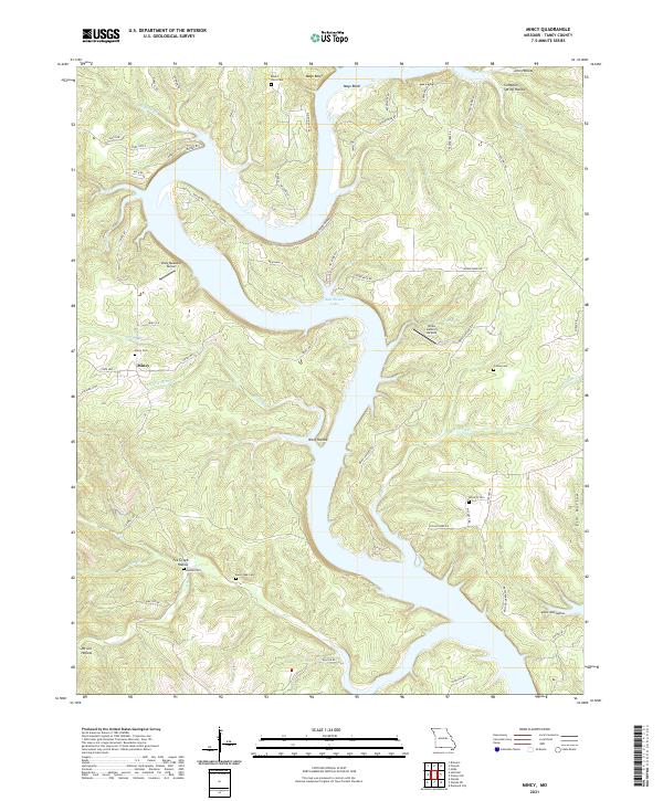 2021 Mincy2021 Print · USGSThe Missouri Ozarks around Mincy are captured here in the early twenty-first century, showing a landscape shaped by the waters of Bull Shoals Lake. Genealogists and local historians can trace family roots through several sites including McCarty Cem, Bee Creek Cem, and Fox Creek Hollow.
 - 2021 Map of Garrison, 2021 Print
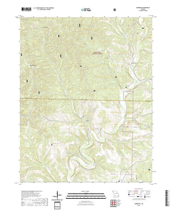 2021 Garrison2021 Print · USGSThe Missouri Ozarks at the edge of the national forest come into focus in this modern survey of the Christian County highlands. Genealogists can locate family landmarks like Peace Cem and Lone Star Cem or trace the early paths through Surratt Hollow and Low Gap.
 - 2021 Map of Branson, 2021 Print
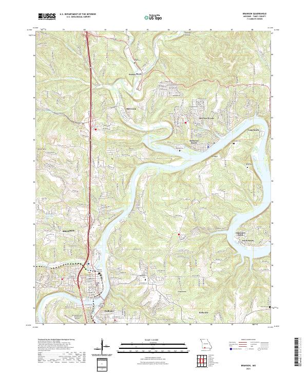 2021 Branson2021 Print · USGSThe Missouri Ozarks are showcased here during a period of sustained growth for the tourism and residential hubs along the White River system. Researchers can trace family history through several burial grounds like Branson City Cem and Walnut Shade Cem, or locate the aviation footprint of the M Graham Clark Downtown Airport.
 - 2021 Map of Bradleyville, 2021 Print
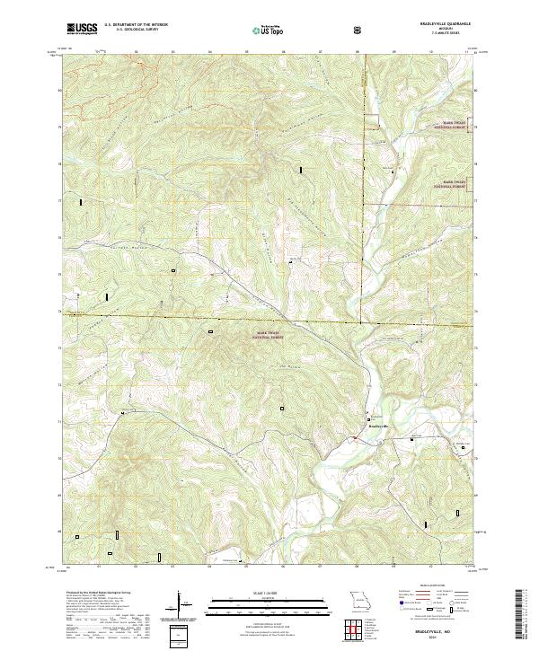 2021 Bradleyville2021 Print · USGSThe Ozark highlands near the Taney and Douglas county lines are shown here in detail, centered on the community of Bradleyville. Genealogists can trace family footprints across numerous hill-country burial sites, including Mills Cem, Roller Cem, and Whitaker Cem.
 - 2021 Map of Protem NE, 2021 Print
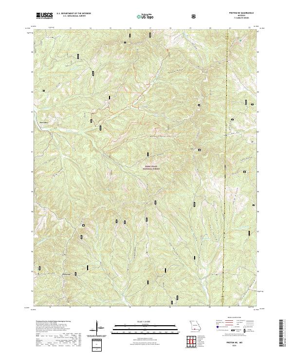 2021 Protem NE2021 Print · USGSThe Missouri Ozarks are shown here in the 2020s, dominated by the heavily timbered tracts of the Mark Twain National Forest. Trace the winding path of the Glade Top Trail past high points like Pinnacle and historical sites at Hercules and Fairview.
 - 2021 Map of Table Rock Dam, 2021 Print
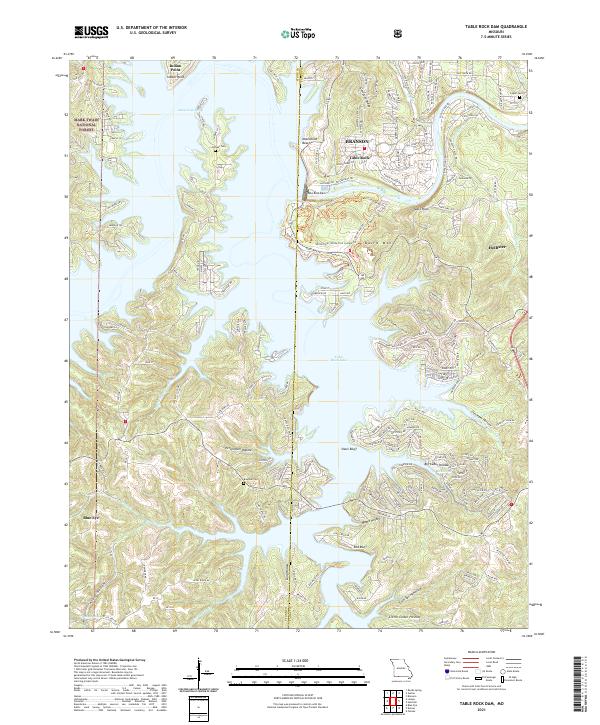 2021 Table Rock Dam2021 Print · USGSThe White River Valley in the early twenty-first century is defined by the engineering of Table Rock Dam and its reservoir. Researchers can trace family history at Goodall Cem or explore the wooded reaches of the Mark Twain National Forest.
 - 2024 Map of Omaha, 2024 Print
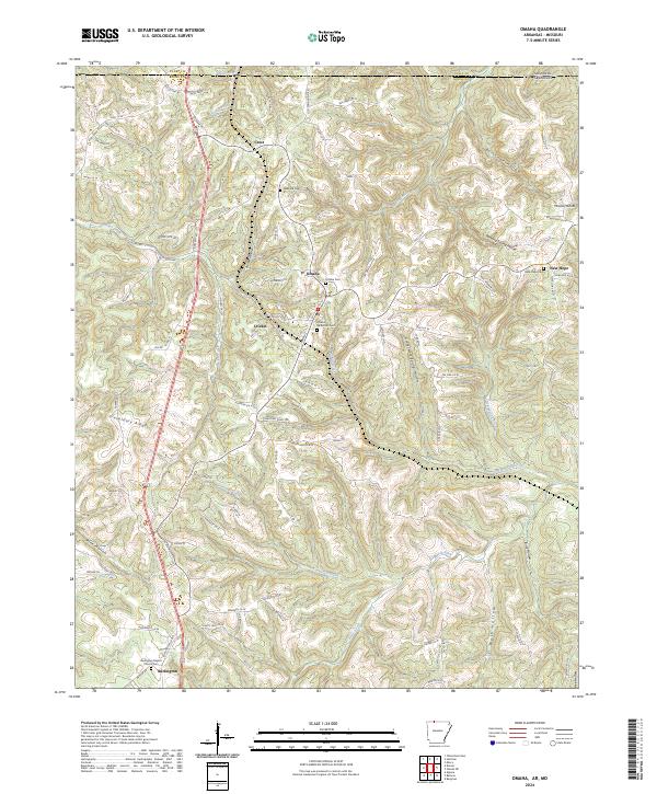 2024 Omaha2024 Print · USGSThe Missouri-Arkansas border region comes into focus in this contemporary survey of Boone County. Researchers can trace rural lineages through numerous burial grounds like Lakeland Cem and Omaha Methodist Cem, or explore the winding hollows of Cricket Creek.
 - 2024 Map of Diamond City, 2024 Print
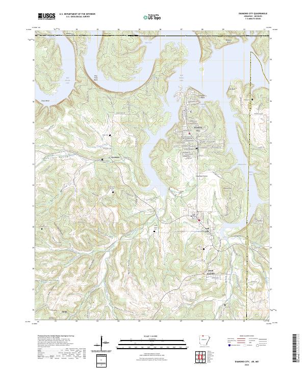 2024 Diamond City2024 Print · USGSBoone County's northern lakeshore is documented here at the Missouri border, where the waters of Bull Shoals Lake meet established settlements. Researchers can locate several family burial sites including Milum Cem and Raley Cem, or trace the winding roads through Carrollton Hollow.
 - 2024 Map of Peel, 2024 Print
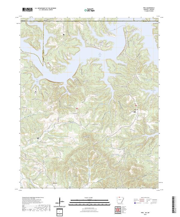 2024 Peel2024 Print · USGSIn the hills above Bull Shoals Lake during the 2020s, this area maintains its rural character along the Arkansas-Missouri line. Researchers can locate several family cemeteries and small settlements, including Peel, Monarch, and the remote Upshaw Cem.
 - 2024 Map of Omaha NE, 2024 Print
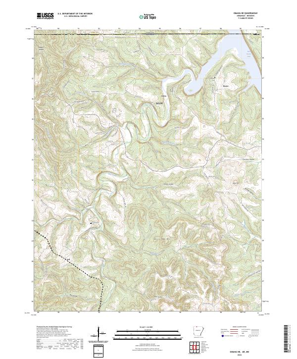 2024 Omaha NE2024 Print · USGSThe northern edge of Boone County meets the Missouri line at the headwaters of Bull Shoals Lake. Trace old family roots and rural landmarks near the settlements of Lowry, Bellville, and the Cottonwood Cem.
 - 2024 Map of Denver, 2024 Print
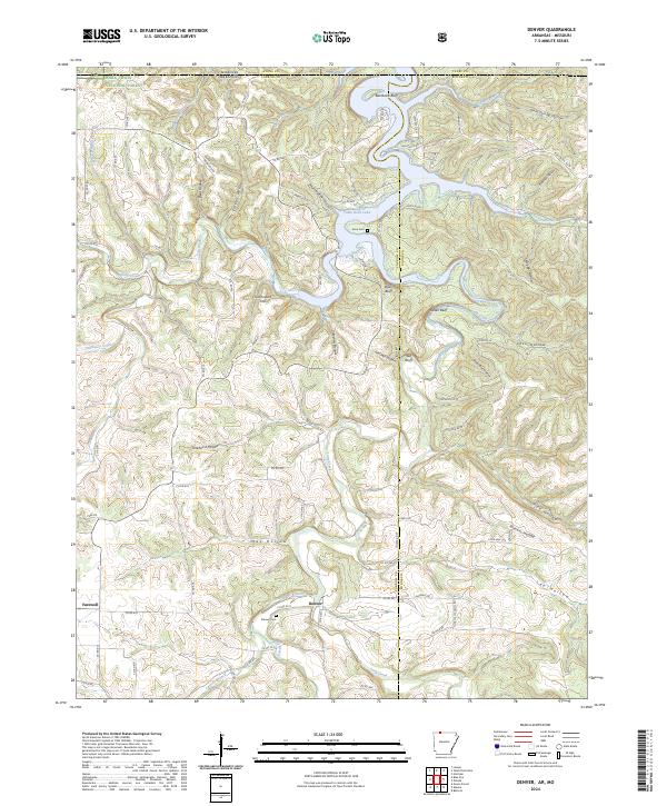 2024 Denver2024 Print · USGSCarroll County, Arkansas, is captured here in the contemporary era as a landscape of deep hollows and lakeside bluffs. Genealogists and local historians can locate the Denver Cem, trace the roads around Denver, and explore the shoreline of Table Rock Lake.
End of results
Showing maps 1-25 of 25
Top cities of Taney County
- Branson historical maps
- Hollister historical maps
- Forsyth historical maps
- Merriam Woods historical maps
- Rockaway Beach historical maps
- Taneyville historical maps
See more
Frequently asked questions
- What are the different types of historical maps available for Taney County?
- What is the oldest map of Taney County?
- Where can I purchase historical maps of Taney County for my home or office?
- Where can I download high-res historical maps of Taney County?
- Are there historical topographic maps available for Taney County?
- Is there historical aerial imagery available for Taney County?
- Where are historical maps of Taney County sourced from?