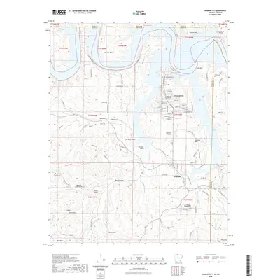
2020 Map of Diamond City
USGS Topo · Published 2020About this map
Bull Shoals Lake dominates this northern Arkansas landscape, its irregular shoreline creating numerous inlets like Coffman Cove and Nelson Cove along the Taney and Boone County lines. The topography is defined by the Ozark highlands, where deep hollows such as Carrollton Hollow and Terrapin Hollow cut through the terrain toward the water. The map documents the established communities of Diamond City and Lead Hill, showing a dense network of residential streets in the former, including S Diamond Blvd and Somonauk Blvd.
Find a feature on this map
131 named features on this map. Tap any name to fly to it.
Don’t see what you’re looking for? This feature index may not catch every label — zoom into the map to look around manually.
Map Details
Editions of this 2020 Diamond City Map
This is the sole edition of this map. No revisions or reprints were ever made.
Other maps of this area

1893 · Yellville
USGS Topo · 1:125,000

1903 · Yellville
USGS Topo · 1:125,000

1904 · Harrison
USGS Topo · 1:125,000

1905 · Harrison
USGS Topo · 1:125,000

1905 · Yellville
USGS Topo · 1:125,000

1907 · Forsyth
USGS Topo · 1:125,000

1929 · Yellville
USGS Topo · 1:125,000

1943 · Protem
USGS Topo · 1:62,500

1945 · Harrison
USGS Topo · 1:250,000

1949 · Harrison
USGS Topo · 1:250,000