2010s Maps of Taney County, Missouri
Explore 60 historic maps of Taney County from the 2010s. These maps offer a rare glimpse into what life looked like during the 2010s — showing old roads, neighborhoods, homes, and landmarks that have changed or disappeared over time.
Whether you're researching your family's past, planning a metal detecting trip, or studying how Taney County's landscape evolved across the 2010s, these high-resolution maps are a powerful tool for exploring the history of this region.
- Focus on a specific era: All maps on this page are from the 2010s, giving you a focused view of this time period.
- See what’s changed: Compare century-old streets, trails, and buildings to today's modern landscape using overlays and satellite layers.
- Research with precision: Use these maps for genealogy, historical research, land use analysis, or educational projects.
- View, download, or print: Maps are fully viewable online in high resolution, and can be downloaded or printed for your own records.
Start exploring Taney County's history through authentic maps from the 2010s. This is your window into the past.
Taney County, MO maps
(60)- 2011 Map of Omaha, 2011 Print
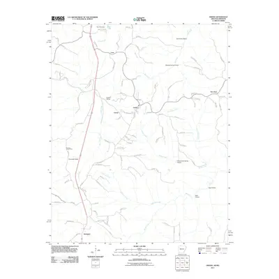 2011 Omaha2011 Print · USGSThe borderlands of northern Arkansas and southern Missouri are captured here just after the turn of the millennium. Researchers can trace rural lineages through settlements like Omaha, Cricket, and Burlington, or locate landmarks such as the Burlington Lookout Tower.
 - 2011 Map of Omaha NE, 2011 Print
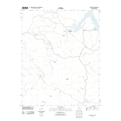 2011 Omaha NE2011 Print · USGSThe northern Ozarks at the turn of the decade are mapped here, showing the rugged hills between Boone and Lead Hill. Researchers can trace old routes like Dubuque Rd and find local landmarks such as Cottonwood Cemetery and White Oak Mountain.
 - 2011 Map of Diamond City, 2011 Print
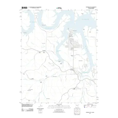 2011 Diamond City2011 Print · USGSBoone County, Arkansas, at the start of the 2010s shows a landscape shaped by the waters of the White River basin. Researchers can trace local heritage through several burial grounds like Fairview Cemetery and Pickard Cemetery, or explore the settlement at Lead Hill.
 - 2011 Map of Peel, 2011 Print
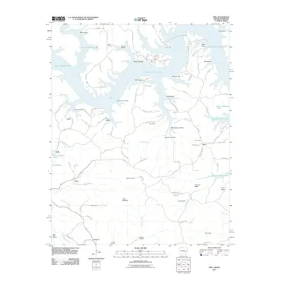 2011 Peel2011 Print · USGSMarion County, Arkansas, is shown here as a landscape defined by the expansive reaches of Bull Shoals Lake and the rugged Ozark interior. Genealogists can trace family landmarks and burial sites such as Peel Cemetery, Locust Cemetery, and the Peel Post Office.
 - 2012 Map of Table Rock Dam, 2012 Print
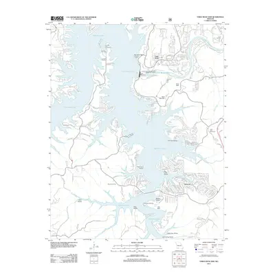 2012 Table Rock Dam2012 Print · USGSThe Ozark hill country around Branson is shown in detail during the early twenty-first century as it balances major hydroelectric infrastructure with modern tourism. Genealogists and locals can pinpoint family burial sites like Goodall Cemetery and trace the residential expansion near Oakmont and Table Rock.
 - 2012 Map of Denver, 2012 Print
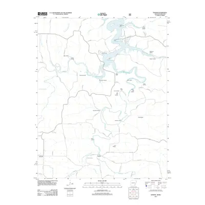 2012 Denver2012 Print · USGSNorthwest Arkansas and the Missouri border country are captured here during the early twenty-first century, centered on the Denver community. Local historians can trace family burial sites at Denver Cemetery and Enon Cemetery or scout the banks of Long Creek.
 - 2012 Map of Branson, 2012 Print
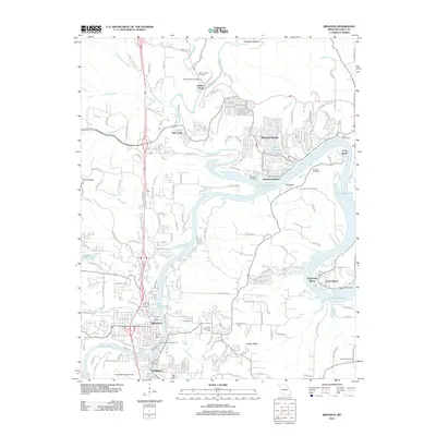 2012 Branson2012 Print · USGSBranson and Hollister are shown at the height of their modern development in this early 21st-century survey of the White River valley. Genealogists and local historians can trace family plots and landmarks at the Branson City Cemetery, Ozark Beach Dam, and the Walnut Shade Post Office.
 - 2012 Map of Day, 2012 Print
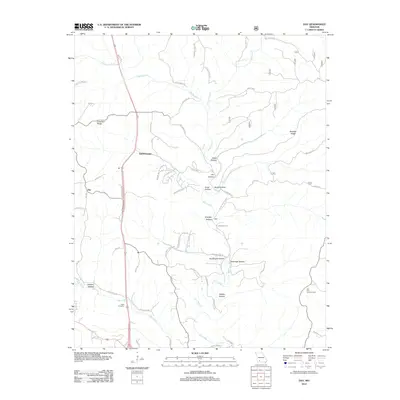 2012 Day2012 Print · USGSTaney County's winding creek valleys and steep ridges are documented here during a period of transition in the early twenty-first century. Genealogists and local historians can trace the Nash Cemetery, the remote Hill Top Lookout Tower, and the waters of Bull Creek.
 - 2012 Map of Spokane, 2012 Print
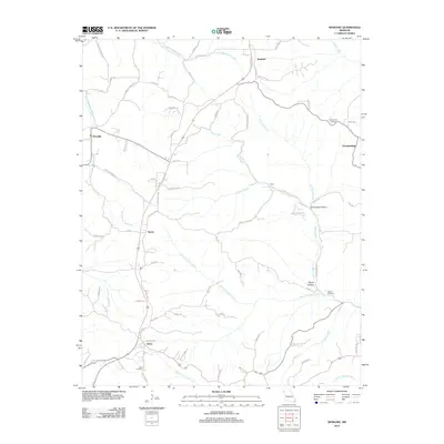 2012 Spokane2012 Print · USGSStone County settlements like Spokane and Abesville are documented here in the early twenty-first century. Family historians can locate family burial sites at Schupbach Cemetery or trace the springs and hollows along Bear Creek.
 - 2012 Map of Forsyth, 2012 Print
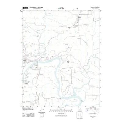 2012 Forsyth2012 Print · USGSTaney County’s river valleys are caught here at the meeting of Lake Taneycomo and Bull Shoals Lake. Local historians can trace old homestead sites near Powersite or visit ancestral plots at Snapp Cemetery and Grant Cemetery.
 - 2012 Map of Hollister, 2012 Print
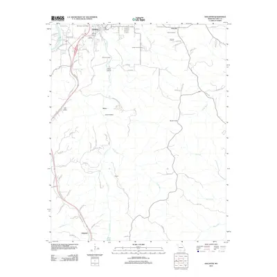 2012 Hollister2012 Print · USGSThe hills of Taney County are shown in detail during the early 21st century as the area surrounding Branson continued its growth. Genealogists and local historians can locate several family burial sites including Ellison Cemetery and trace the topography around Murder Rock.
 - 2012 Map of Mincy, 2012 Print
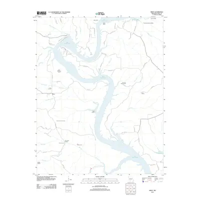 2012 Mincy2012 Print · USGSThe White River country of Taney County is shown here in the modern era as Bull Shoals Lake weaves through the Ozark hills. Genealogists and hikers can locate quiet landmarks like Cobles Cemetery, the Mincy Public Hunting Area, and Fox Creek Hollow.
 - 2012 Map of Garrison, 2012 Print
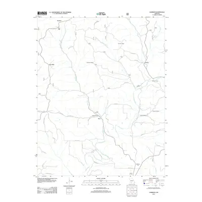 2012 Garrison2012 Print · USGSSouthern Christian County is shown here in the early twenty-first century, centered on the rural drainages of the Ozarks. Researchers can locate family-named landmarks and burial sites such as Peace Cemetery, Helphrey Hill, and the village of Garrison.
 - 2012 Map of Garber, 2012 Print
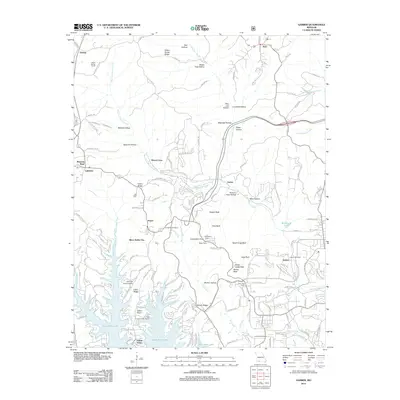 2012 Garber2012 Print · USGSThe Ozark plateau near Branson comes alive in this 2012 study of the region's tourism and terrain. Researchers can find landmark locations like Silver Dollar City, the historic Marvel Cave, and family burial grounds such as Evergreen Cemetery.
 - 2012 Map of Bradleyville, 2012 Print
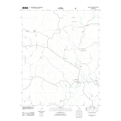 2012 Bradleyville2012 Print · USGSBradleyville and the Beaver Creek valley are documented here in the early twenty-first century, showing a landscape defined by winding hollows and rural outposts. Genealogists can locate several family burial sites including Mills and Roller, or trace old routes like Old Cheese Plant Rd.
 - 2012 Map of Hilda, 2012 Print
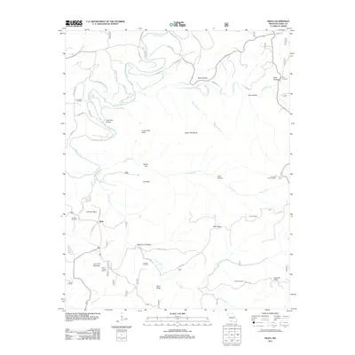 2012 Hilda2012 Print · USGSTaney County ridge country is captured here during the early 2000s, showing a landscape defined by deep hollows and high knobs. Genealogists can locate several remote burial sites including Lone Pilgrim Cemetery, Roberts Cemetery, and Edley Cemetery.
 - 2012 Map of Protem NE, 2012 Print
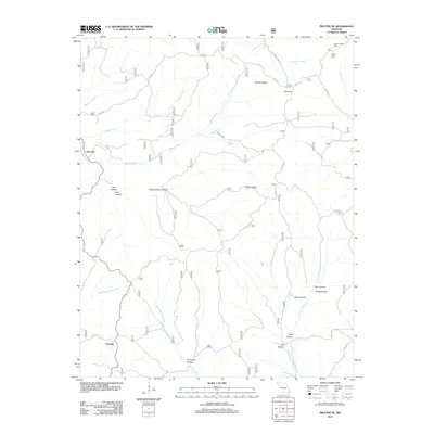 2012 Protem NE2012 Print · USGSThe Missouri Ozarks are captured here during the early 2010s, showing a land of deep hollows and high ridges near the Arkansas border. Researchers can trace the path of the Glade Top Trl or locate landmarks like the Caney Lookout Tower and Hercules.
 - 2012 Map of Brownbranch, 2012 Print
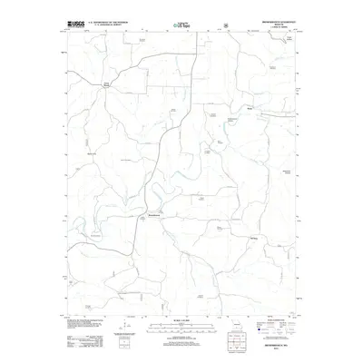 2012 Brownbranch2012 Print · USGSThe rural Ozark uplands of Taney County appear here in the early twenty-first century, centered on the community of Brownbranch. Genealogists can trace numerous family burial sites across the landscape, from Stamper Cemetery to the remote Eldridge Cemetery.
 - 2012 Map of Protem, 2012 Print
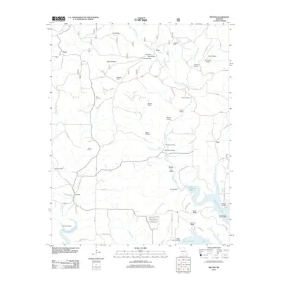 2012 Protem2012 Print · USGSThe Missouri Ozarks meet the waters of the White River basin in this early twenty-first-century survey of Taney County. Researchers can trace old mountain roads to Merritt Cemetery, locate the Nolands Point Seaplane Base, and explore the hollows around Protem.
 - 2012 Map of Protem SW, 2012 Print
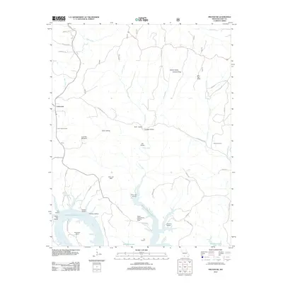 2012 Protem SW2012 Print · USGSSouthern Missouri terrain meets the northern reaches of the Ozark reservoirs in this 2012 survey of Taney County. Genealogists and local historians can trace family locations near Cedar Creek Cemetery, Hankins Cemetery, and the riverfront at Horseshoe Bend.
 - 2014 Map of Omaha, 2014 Print
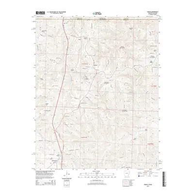 2014 Omaha2014 Print · USGSBoone County, Arkansas, and the Missouri border country are mapped here in the early 21st century. Genealogists and hikers can trace the deep hollows and ridges that shaped local history, from Omaha and Cricket to the Burlington Lookout Tower and Lee Hollow.
 - 2014 Map of Omaha NE, 2014 Print
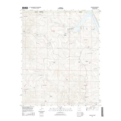 2014 Omaha NE2014 Print · USGSThe Arkansas-Missouri state line crosses this Ozark plateau landscape as it appeared in the early 2010s. Researchers can trace local landmarks like Cottonwood Cem and the small settlements of Lead Hill and Boone near the shores of Bull Shoals Lake.
 - 2014 Map of Denver, 2014 Print
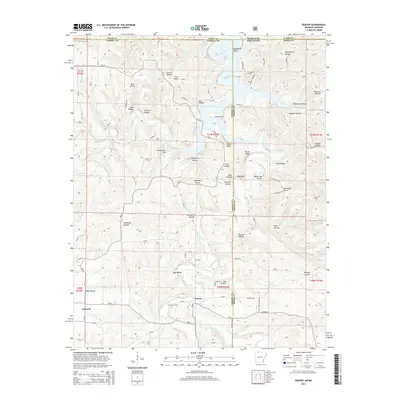 2014 Denver2014 Print · USGSThe Arkansas-Missouri borderlands come alive in the mid-2010s, showing the rugged intersection of Table Rock Lake and the rural Ozark highlands. Genealogists can locate family landmarks like Denver Cem, Enon Cem, and settlements such as Denver and Farewell.
 - 2014 Map of Diamond City, 2014 Print
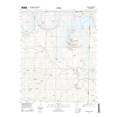 2014 Diamond City2014 Print · USGSThe Ozark highlands meet the waters of Bull Shoals Lake in the mid-2010s, showcasing the development of Diamond City and Lead Hill. Researchers can trace local family history through numerous small cemeteries like Pickard Cem, Foresee Cem, and Cedar Grove Cem.
 - 2014 Map of Peel, 2014 Print
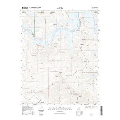 2014 Peel2014 Print · USGSThe Ozark hill country of Marion and Boone County meets the fingers of the reservoir in the early twenty-first century. Genealogists can locate family names at Riddle Cem and Peel Cem, or trace the winding course of Lead Mine Cr and Trimble Cr through the hollows.
Showing maps 1-25 of 60
Top cities of Taney County
- Branson historical maps
- Hollister historical maps
- Forsyth historical maps
- Merriam Woods historical maps
- Rockaway Beach historical maps
- Taneyville historical maps
See more
Frequently asked questions
- What are the different types of historical maps available for Taney County?
- What is the oldest map of Taney County?
- Where can I purchase historical maps of Taney County for my home or office?
- Where can I download high-res historical maps of Taney County?
- Are there historical topographic maps available for Taney County?
- Is there historical aerial imagery available for Taney County?
- Where are historical maps of Taney County sourced from?