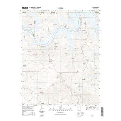
2014 Map of Peel
USGS Topo · Published 2014About this map
Bull Shoals Lake dominates this section of the Ozarks where the Arkansas-Missouri state line divides Taney and Ozark counties to the north from Boone and Marion counties to the south. The irregular, branching shoreline of the reservoir reaches into numerous hollows, including Walker Hollow, Clyde Hollow, and Willow Spring Hollow. Local family history is preserved in several small burial grounds such as Riddle Cem, Upshaw Cem, and Peel Cem.
Find a feature on this map
119 named features on this map. Tap any name to fly to it.
Don’t see what you’re looking for? This feature index may not catch every label — zoom into the map to look around manually.
Map Details
Editions of this 2014 Peel Map
This is the sole edition of this map. No revisions or reprints were ever made.
Other maps of this area

1893 · Yellville
USGS Topo · 1:125,000

1903 · Yellville
USGS Topo · 1:125,000

1905 · Yellville
USGS Topo · 1:125,000

1929 · Yellville
USGS Topo · 1:125,000

1936 · Thornfield
USGS Topo · 1:48,000

1943 · Protem
USGS Topo · 1:62,500

1943 · Thornfield
USGS Topo · 1:62,500

1945 · Harrison
USGS Topo · 1:250,000

1945 · Thornfield
USGS Topo · 1:62,500

1949 · Harrison
USGS Topo · 1:250,000