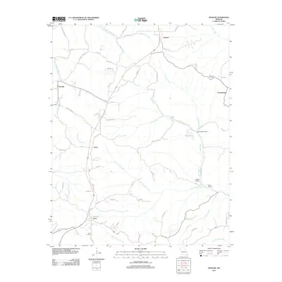
2012 Map of Spokane
USGS Topo · Published 2012About this map
Abesville and Spokane anchor this rural Stone County landscape, where the terrain is deeply carved by the headwaters of several critical creek systems. The map reveals a network of small, dispersed communities including Tauria, Reno, and Stutts, many of which developed along early ridges and creek crossings. This 2012 survey illustrates the importance of water sources in the Ozark Plateau, with Reno Spring and various forks of Bear Creek defining the local geography.
Find a feature on this map
74 named features on this map. Tap any name to fly to it.
Don’t see what you’re looking for? This feature index may not catch every label — zoom into the map to look around manually.
Map Details
Editions of this 2012 Spokane Map
This is the sole edition of this map. No revisions or reprints were ever made.
Other maps of this area

1907 · Forsyth
USGS Topo · 1:125,000

1945 · Harrison
USGS Topo · 1:250,000

1949 · Harrison
USGS Topo · 1:250,000

1950 · Garber
USGS Topo · 1:24,000

1954 · Harrison
USGS Topo · 1:250,000
1955 · Selmore
USGS Topo · 1:24,000

1955 · Day
USGS Topo · 1:24,000
1955 · Hurley
USGS Topo · 1:24,000
1955 · Highlandville
USGS Topo · 1:24,000

1956 · Garber
USGS Topo · 1:24,000