1970s Maps of Wright County, Missouri
Explore 11 historic maps of Wright County from the 1970s. These maps offer a rare glimpse into what life looked like during the 1970s — showing old roads, neighborhoods, homes, and landmarks that have changed or disappeared over time.
Whether you're researching your family's past, planning a metal detecting trip, or studying how Wright County's landscape evolved across the 1970s, these high-resolution maps are a powerful tool for exploring the history of this region.
- Focus on a specific era: All maps on this page are from the 1970s, giving you a focused view of this time period.
- See what’s changed: Compare century-old streets, trails, and buildings to today's modern landscape using overlays and satellite layers.
- Research with precision: Use these maps for genealogy, historical research, land use analysis, or educational projects.
- View, download, or print: Maps are fully viewable online in high resolution, and can be downloaded or printed for your own records.
Start exploring Wright County's history through authentic maps from the 1970s. This is your window into the past.
Wright County, MO maps
(11)- 1977 Map of Mansfield NW
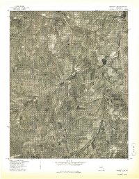
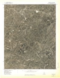
 1977 Mansfield NW1977 Print · USGSThe Ozark plateau in the late seventies is revealed through detailed aerial imagery of the Webster County countryside. Local researchers can trace the course of the Gasconade River and locate the small rural community of Jericho.
 - 1977 Map of Mansfield NE
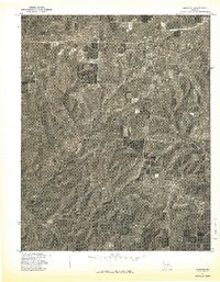
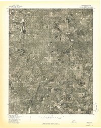
 1977 Mansfield NE1977 Print · USGSWright County farmland and the winding river valley are captured here in the late seventies. Genealogists and historians can trace property boundaries and land use patterns surrounding Hartville and the banks of the Gasconade River.
 - 1977 Map of Norwood
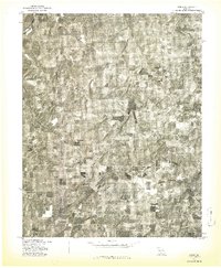
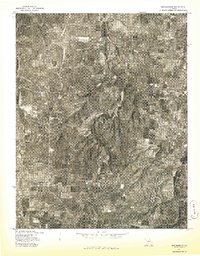
 1977 Norwood1977 Print · USGSThe rural landscape of Wright County is captured in the late seventies through this detailed aerial survey. Genealogists and local historians can trace the specific layouts of old farmsteads and rural routes connecting Norwood and Macomb.
 - 1977 Map of Owens
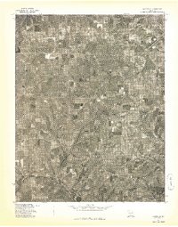
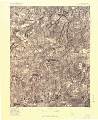
 1977 Owens1977 Print · USGSWright County farmland and forest are captured in detail during the late 1970s in this Missouri orthophotograph. Researchers can trace the rural landscape surrounding the settlement of Owens and follow the natural bend of the Gasconade River.
 - 1977 Map of Hartville
 1977 Hartville1977 Print · USGSWright County farmland and the community of Hartville appear in sharp detail during the late seventies through rectified aerial photography. Genealogists and local historians can trace property lines, farmstead locations, and the rural roads connecting Odin to the surrounding township.
 - 1977 Map of Mansfield
 1977 Mansfield1977 Print · USGSThe town of Mansfield and its surrounding countryside are captured in this late-seventies aerial survey. Researchers can trace land clearing patterns and rural homesteads near the winding course of Bryant Creek during this era of Missouri history.
 - 1977 Map of Cedar Gap
 1977 Cedar Gap1977 Print · USGSThe Missouri Ozarks are shown in transition during the late seventies, documented through detailed aerial orthophotography. Trace the rural landscape around Cedar Gap and Mt Zion or follow the winding course of Bryant Creek.
 - 1977 Map of Duncan
 1977 Duncan1977 Print · USGSThe rural landscapes of Wright County are captured in this late 1970s aerial survey, showing the region's agricultural and timber patterns. Researchers can pinpoint the exact location of Duncan and trace the rural roads and woodlots as they appeared during this era.
 - 1977 Map of Grovespring
 1977 Grovespring1977 Print · USGSThe rural landscapes of Wright County are captured in this mid-seventies aerial survey. Genealogists and local historians can trace the development of small-town Grovespring and examine the distribution of homesteads across the local farm country.
 - 1977 Map of Rader
 1977 Rader1977 Print · USGSWright County farming and timber lands are captured from the air during the late seventies. Genealogists and land researchers can trace the rural landscape surrounding Rader and the meandering path of the Osage Fork Gasconade River.
 - 1977 Map of Mountain Grove South
 1977 Mountain Grove South1977 Print · USGSSouthern Mountain Grove and the surrounding farmsteads are captured in detail during the late seventies. Researchers can trace land boundaries, woodlots, and the growth of the town beyond the city center in this Missouri aerial survey.
End of results
Showing maps 1-11 of 11
Top cities of Wright County
Frequently asked questions
- What are the different types of historical maps available for Wright County?
- What is the oldest map of Wright County?
- Where can I purchase historical maps of Wright County for my home or office?
- Where can I download high-res historical maps of Wright County?
- Are there historical topographic maps available for Wright County?
- Is there historical aerial imagery available for Wright County?
- Where are historical maps of Wright County sourced from?