2000s (21st Century) Maps of Wright County, Missouri
Explore 75 historic maps of Wright County from the 2000s (21st Century). These maps offer a rare glimpse into what life looked like during the 2000s — showing old roads, neighborhoods, homes, and landmarks that have changed or disappeared over time.
Whether you're researching your family's past, planning a metal detecting trip, or studying how Wright County's landscape evolved across the 2000s, these high-resolution maps are a powerful tool for exploring the history of this region.
- Focus on a specific era: All maps on this page are from the 2000s, giving you a focused view of this time period.
- See what’s changed: Compare century-old streets, trails, and buildings to today's modern landscape using overlays and satellite layers.
- Research with precision: Use these maps for genealogy, historical research, land use analysis, or educational projects.
- View, download, or print: Maps are fully viewable online in high resolution, and can be downloaded or printed for your own records.
Start exploring Wright County's history through authentic maps from the 2000s. This is your window into the past.
Wright County, MO maps
(75)- 2004 Map of Dawson, 2006 Print
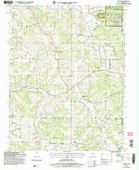 2004 Dawson2006 Print · USGSThe Wright County highlands come alive in this early 2000s survey of the Missouri Ozarks. Genealogists and local historians can trace family locations near Dawson, Graff, and Rayborn, or locate ancestral lands within the Mark Twain National Forest.
 - 2004 Map of Competition, 2006 Print
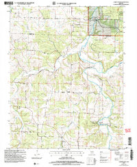 2004 Competition2006 Print · USGSWright and Laclede Counties at the start of the new millennium show a landscape where conservation lands and the national forest meet the winding Gasconade River. Genealogists and local historians can trace rural routes like Jerktail Drive and Odell Road to find old cemeteries and the small settlements of Competition and St George.
 - 2004 Map of Manes, 2006 Print
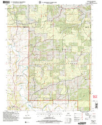 2004 Manes2006 Print · USGSWright and Laclede counties are shown here as they appeared in the early 2000s, centered on the wooded plateaus of the Missouri Ozarks. Researchers can locate the Lynchburg CCC Camp, old family cemeteries, and rural crossroads like Mingsville and Manes.
 - 2011 Map of Norwood, 2011 Print
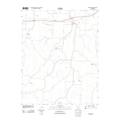 2011 Norwood2011 Print · USGSWright County at the start of the 2010s shows a landscape of rail-side towns and small hilltop settlements connected by winding creek-valley roads. Researchers can locate numerous local landmarks such as Macomb Cemetery, Samson Hollow, and the rural community of Filer.
 - 2011 Map of Hartville, 2011 Print
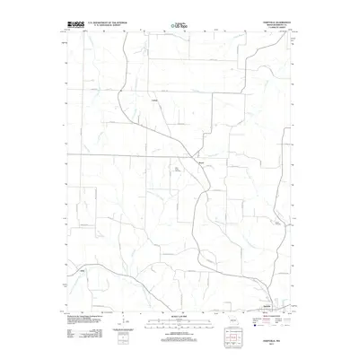 2011 Hartville2011 Print · USGSWright County, Missouri, is captured here in the early twenty-first century as a rural landscape of winding river forks and dispersed settlements. Researchers can trace family history at Little Creek Cemetery or locate old community sites like Odin, Boyer, and Loring.
 - 2011 Map of Cabool NW, 2011 Print
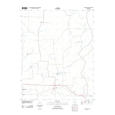 2011 Cabool NW2011 Print · USGSTexas County, Missouri, at the start of the 2010s reveals a landscape of high ridges and winding river headwaters. Researchers can trace family sites near Canada Cemetery or follow the paths of the Big Piney River and Little Piney River through Dunn and Fowler.
 - 2011 Map of Fuson, 2011 Print
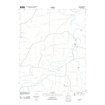 2011 Fuson2011 Print · USGSWright County in the early twenty-first century remains a landscape of deep hollows and river bends along the Gasconade River. Local historians can trace the sites of old industry and community at Grimes Mill and the Talmage Post Office.
 - 2011 Map of Huggins, 2011 Print
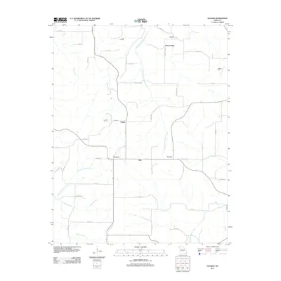 2011 Huggins2011 Print · USGSTexas County settlements and Ozark headwaters are captured here during the early twenty-first century. Family historians and researchers can locate Tuttle Cemetery, White Cemetery, and trace the rural roads connecting Huggins and Bendavis.
 - 2011 Map of Owens, 2011 Print
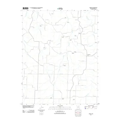 2011 Owens2011 Print · USGSWright County's rural landscape is revealed here in the early twenty-first century, showing a network of historic family settlements. Researchers can locate the Duggan Post Office, the Crossroads Store, and numerous family burial sites like Frog Knob Cemetery and Bruton Sinks.
 - 2011 Map of Mansfield, 2011 Print
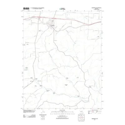 2011 Mansfield2011 Print · USGSWright County in the early twenty-first century maintains its deep-rooted rural character, centered on the community of Mansfield. Researchers can trace local lineage through several family-named burial grounds like Deaker Cemetery and Wallace Cemetery or locate old crossroads at Olathia.
 - 2011 Map of Rader, 2011 Print
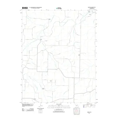 2011 Rader2011 Print · USGSLaclede County at the start of the 2010s is characterized by quiet rural settlements and the winding Osage Fork Gasconde River. Researchers can trace old family locations near Phillips Hollow or explore the geography around Pease, Rader, and Susanna.
 - 2011 Map of Grovespring, 2011 Print
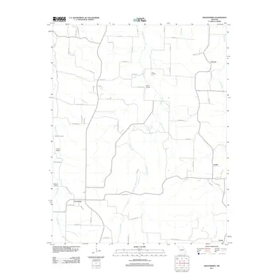 2011 Grovespring2011 Print · USGSSouthern Laclede County is documented in the early twenty-first century, showing the rural communities and hollows of the Ozarks. Researchers can find old burial sites like Bramhall Cemetery and trace the paths of Steins Creek past settlements at Grovespring and Origanna.
 - 2011 Map of Mountain Grove North, 2011 Print
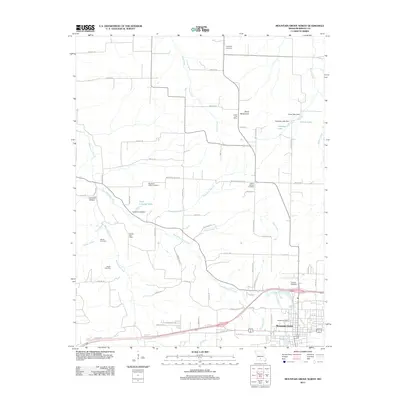 2011 Mountain Grove North2011 Print · USGSMountain Grove and the surrounding Wright County countryside are captured here in the early twenty-first century. Researchers can locate numerous family and community landmarks, from the Antler Post Office to historic burial grounds like Swede Cemetery and Helum Cemetery.
 - 2011 Map of Mansfield NW, 2011 Print
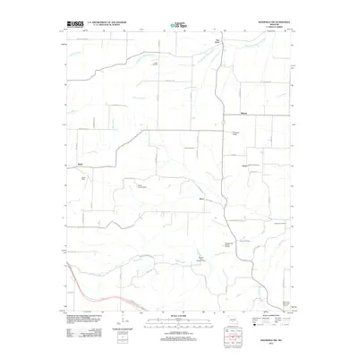 2011 Mansfield NW2011 Print · USGSMissouri's rural Ozark landscape is documented here in the early 2000s, showing a network of small settlements and family cemeteries. Researchers can locate the Antrim Post Office, trace the James River headwaters, and find burial sites like Smith Cemetery and Peters Cemetery.
 - 2011 Map of Mansfield NE, 2011 Print
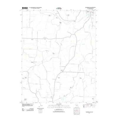 2011 Mansfield NE2011 Print · USGSThe area around Hartville and Umpire is captured in the early 2010s, showcasing a landscape defined by the Woods Fork Gasconade River. Genealogists can trace family landmarks like Binkley Cemetery, Boatright Cemetery, and Rembert Post Office.
 - 2011 Map of Cedar Gap, 2011 Print
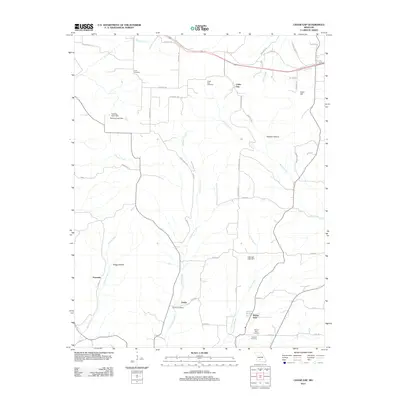 2011 Cedar Gap2011 Print · USGSMissouri's Ozark plateau comes into focus in the early twenty-first century, showing a rural landscape defined by deep hollows and creek headwaters. Researchers can locate numerous historic burial grounds and crossroads communities like Zenda, Granada, and the Huffman Cemetery.
 - 2012 Map of Competition, 2012 Print
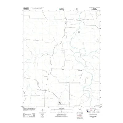 2012 Competition2012 Print · USGSWright County life in the early twenty-first century is centered on small settlements like Competition and Jerktail along the Gasconade River. Researchers can trace family history at Emerson Cemetery or locate the old river crossing at Burney Ford.
 - 2012 Map of Dawson, 2012 Print
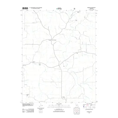 2012 Dawson2012 Print · USGSWright County at the start of the 2010s shows a landscape of dispersed rural settlements and complex Ozark drainages. Researchers can trace family history at the Green Mountain Cemetery or locate old community hubs like Graff, Rayborn, and Dawson.
 - 2012 Map of Mountain Grove South, 2012 Print
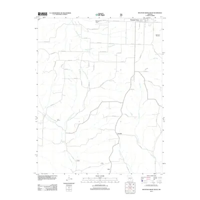 2012 Mountain Grove South2012 Print · USGSThe rural terrain south of Mountain Grove comes into focus in the early 2010s. Genealogists and local historians can trace family locations near Strunk Cemetery, the settlement of Goodville, and the banks of Whetstone Creek.
 - 2012 Map of Duncan, 2012 Print
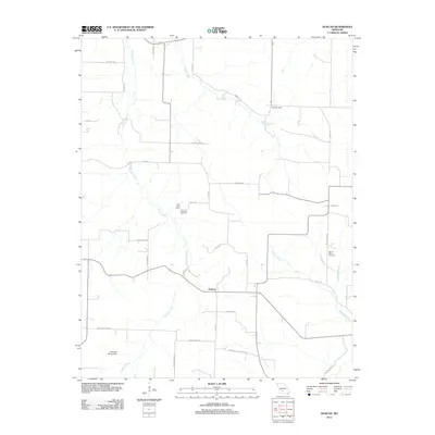 2012 Duncan2012 Print · USGSThis rural portion of Wright County in 2012 shows a landscape shaped by persistent local landmarks and family-named routes. Researchers can trace the placement of the Hiatt Post Office and several local burial sites, such as Mount Olive Cemetery and Sixteenth Cemetery.
 - 2012 Map of Manes, 2012 Print
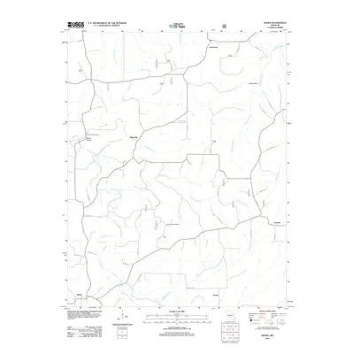 2012 Manes2012 Print · USGSLynchburg and the surrounding Missouri Ozarks appear in detail during the early 21st century, showing a landscape defined by deep hollows and rural outposts. Researchers can trace family roots near Blankenship Cemetery or locate historic sites like the Sunnyside Post Office and Astoria.
 - 2015 Map of Competition, 2015 Print
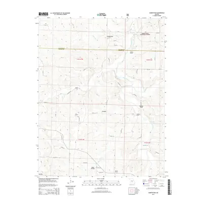 2015 Competition2015 Print · USGSWright and Laclede counties appear in the mid-2010s as a landscape of rural crossroads and river crossings. Researchers can trace family roots at the Dorris Cemetery or locate old community hubs like Competition and the historic Burney Ford.
 - 2015 Map of Owens, 2015 Print
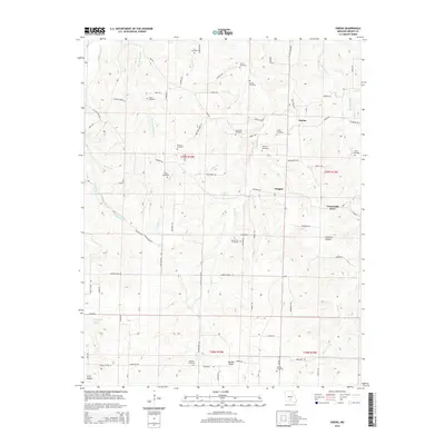 2015 Owens2015 Print · USGSMissouri's Wright County highlands are captured here in the mid-2010s, showing a landscape of dispersed rural settlements and deep-rooted family landmarks. Genealogists and hikers can trace the paths to Mount Zion Cemetery, Bruton Sinks, and the Crossroads Store.
 - 2015 Map of Dawson, 2015 Print
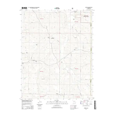 2015 Dawson2015 Print · USGSWright County as it appeared in 2015 remains a landscape of isolated upland settlements and deeply carved creek valleys. Researchers can trace the rural hubs of Graff and Rayborn or locate family sites near Green Mountain Cemetery and Schoolhouse Hollow.
 - 2015 Map of Cedar Gap, 2015 Print
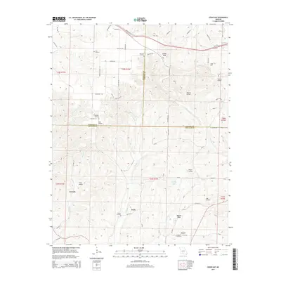 2015 Cedar Gap2015 Print · USGSThe Ozark plateau where Webster, Wright, and Douglas counties meet is shown here in the mid-2010s, revealing a landscape etched by deep hollows and rural homesteads. Researchers can locate family landmarks such as Rush Cemetery, Zenda, and the community of Mount Zion.
Showing maps 1-25 of 75
Top cities of Wright County
Frequently asked questions
- What are the different types of historical maps available for Wright County?
- What is the oldest map of Wright County?
- Where can I purchase historical maps of Wright County for my home or office?
- Where can I download high-res historical maps of Wright County?
- Are there historical topographic maps available for Wright County?
- Is there historical aerial imagery available for Wright County?
- Where are historical maps of Wright County sourced from?