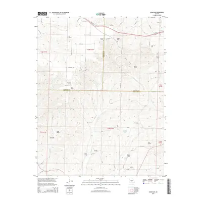
2015 Map of Cedar Gap
USGS Topo · Published 2015About this map
Cedar Gap sits at a geographic and administrative crossroads where Webster, Wright, and Douglas counties converge. This Ozark plateau landscape is defined by a dense network of hollows, including Smelter Hollow, Panther Hollow, and Brixey Hollow, which channel local drainage into the headwaters of Finley Creek and Bryant Creek. Small rural settlements and family-named landmarks like Granada, Zenda, and Lead Hill are scattered throughout the hills, reflecting a pattern of upland agricultural and homesteading history.
Find a feature on this map
72 named features on this map. Tap any name to fly to it.
Don’t see what you’re looking for? This feature index may not catch every label — zoom into the map to look around manually.
Map Details
Editions of this 2015 Cedar Gap Map
This is the sole edition of this map. No revisions or reprints were ever made.
Other maps of this area

1936 · Ava
USGS Topo · 1:48,000

1937 · Bradleyville
USGS Topo · 1:48,000

1939 · Fordland
USGS Topo · 1:62,500

1942 · Fordland
USGS Topo · 1:62,500

1942 · Ava
USGS Topo · 1:62,500

1943 · Bradleyville
USGS Topo · 1:62,500

1945 · Ava
USGS Topo · 1:62,500

1945 · Harrison
USGS Topo · 1:250,000

1945 · Bradleyville
USGS Topo · 1:62,500

1949 · Harrison
USGS Topo · 1:250,000