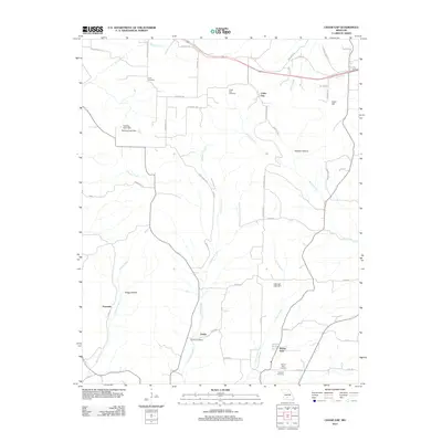
2011 Map of Cedar Gap
USGS Topo · Published 2011About this map
Cedar Gap sits at the northern end of this Missouri landscape, where the headwaters of numerous creeks begin their descent through the Ozark plateau. The terrain is defined by its drainage patterns, with Cowskin Creek, Bryant Creek, and Honey Creek carving distinct valleys and hollows. These watercourses have long shaped the placement of local settlements and infrastructure, visible in the way Cedar Gap Rd and various county roads navigate the high ground between Bragg Hollow and Panther Hollow.
Find a feature on this map
59 named features on this map. Tap any name to fly to it.
Don’t see what you’re looking for? This feature index may not catch every label — zoom into the map to look around manually.
Map Details
Editions of this 2011 Cedar Gap Map
This is the sole edition of this map. No revisions or reprints were ever made.
Other maps of this area

1936 · Ava
USGS Topo · 1:48,000

1937 · Bradleyville
USGS Topo · 1:48,000

1939 · Fordland
USGS Topo · 1:62,500

1942 · Fordland
USGS Topo · 1:62,500

1942 · Ava
USGS Topo · 1:62,500

1943 · Bradleyville
USGS Topo · 1:62,500

1945 · Ava
USGS Topo · 1:62,500

1945 · Harrison
USGS Topo · 1:250,000

1945 · Bradleyville
USGS Topo · 1:62,500

1949 · Harrison
USGS Topo · 1:250,000