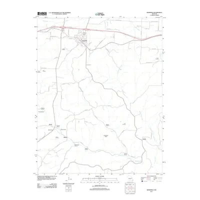
2011 Map of Mansfield
USGS Topo · Published 2011About this map
Mansfield serves as the primary hub in this Missouri landscape, where the modern road network intersects with historic routes like Old Springfield Rd and Old Hwy 5. The terrain is defined by a series of hollows and ridges, including Shinpaugh Ridge and the deeply carved path of Bryant Creek. Genealogists will find a high density of burial sites scattered across the township and rural hills, including Deaker Cemetery, Findley Cemetery, and Keith Cemetery. Smaller settlements such as Olathia and Midway are situated along the secondary county roads, illustrating the persistent rural community structure of Wright County. The drainage patterns of Puncheon Camp Creek and Wolf Creek shape the local topography, creating the numerous hollows like Smelter Hollow and Buzzard Hollow that characterize the Ozark Plateau transition.
Find a feature on this map
57 named features on this map. Tap any name to fly to it.
Don’t see what you’re looking for? This feature index may not catch every label — zoom into the map to look around manually.
Map Details
Editions of this 2011 Mansfield Map
This is the sole edition of this map. No revisions or reprints were ever made.
Other maps of this area

1936 · Ava
USGS Topo · 1:48,000

1937 · Buckhart
USGS Topo · 1:48,000

1942 · Ava
USGS Topo · 1:62,500

1943 · Buckhart
USGS Topo · 1:62,500

1945 · Ava
USGS Topo · 1:62,500

1945 · Harrison
USGS Topo · 1:250,000

1945 · Buckhart
USGS Topo · 1:62,500

1949 · Harrison
USGS Topo · 1:250,000

1951 · Norwood
USGS Topo · 1:24,000

1951 · Owens
USGS Topo · 1:24,000