Old Maps of Boneau, Montana for Metal Detecting
Plan your next treasure hunt with 11 historic maps of Boneau. Find old homesites, ghost towns, trails, and gathering spots that may be lost to time — perfect for identifying promising metal detecting locations.
- Locate forgotten sites: Uncover places like long-lost settlements, abandoned rail lines, or gathering spots.
- Plan better hunts: Use map overlays combined with LiDAR or satellite views to narrow in on historically rich areas.
- Made for detectorists: Thousands of hobbyists use these maps to discover relics, coins, and hidden history.
Use these historic maps to boost your research and find new opportunities beneath the surface of Boneau.
Boneau, MT maps
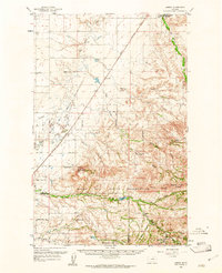
(11)- 1953 Map of Havre, 1967 Print
 1953 Havre1967 Print · USGSNorthern Montana’s Hi-Line comes into focus in the mid-fifties, centered on the Milk River and the critical Great Northern rail link. Genealogists can trace small sidings and settlements like Assinniboine, Laredo, and Box Elder alongside the Fort Belknap Agency.3 unique versions available
 - 1957 Map of Havre
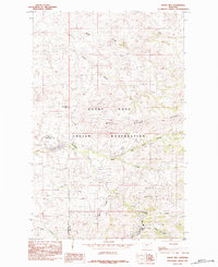
 1957 Havre1957 Print · USGSNorth-central Montana at the mid-century is defined by the vital Great Northern rail corridor and the winding Milk River. Researchers can trace old settlements like Laredo and Savoy, or locate historic sites such as the Hays (old) Sub Agency and the Chinook No 1 mine.
 - 1958 Map of Havre
 1958 Havre1958 Print · USGSUpper Montana in the late fifties was a landscape of remote rail towns and vast high-plain ranges. Genealogists and historians can trace the Great Northern railroad through Havre, Chinook, and the Fort Belknap Indian Reservation.
 - 1959 Map of Laredo, 1961 Print
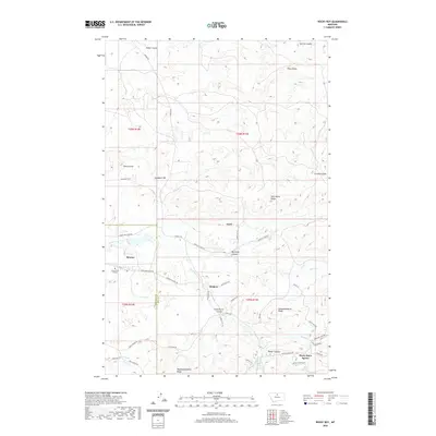
 1959 Laredo1961 Print · USGSNorth-central Montana at the close of the fifties reveals a landscape defined by the Great Northern railroad and the Rocky Boy Indian Reservation. Researchers can trace old ranch sites like Champagne Ranch and vanished landmarks like the Sangrey Sch.2 unique versions available
 - 1984 Map of Rocky Boy
 1984 Rocky Boy1984 Print · USGSThe Bear Paw Mountains foothills come into focus in the mid-1980s, centered on the ROCKY BOYS INDIAN RESERVATION. Researchers can trace the settlement of Rocky Boy and family-named landmarks like Gardipee Hill and Pasquowmustus Ridge.
 - 1993 Map of Rocky Boy, 1994 Print
 1993 Rocky Boy1994 Print · USGSThe Bears Paw Mountains and the high plains of north-central Montana appear here in the early nineties, centered on the Rocky Boys Indian Reservation. You can trace the historic Bears Paw Battlefield and find isolated sites like Cleveland and the Blackjack Mine.
 - 2011 Map of Rocky Boy, 2011 Print
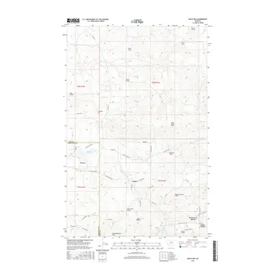
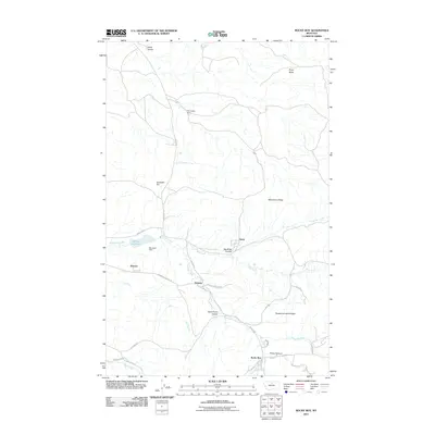 2011 Rocky Boy2011 Print · USGSCovers Boneau, including Rocky Boy's Agency, Hill County, and other nearby areas
 - 2014 Map of Rocky Boy, 2014 Print
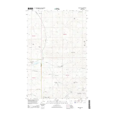 2014 Rocky Boy2014 Print · USGSCovers Boneau, including Rocky Boy's Agency, Hill County, and other nearby areas
 - 2017 Map of Rocky Boy, 2017 Print
 2017 Rocky Boy2017 Print · USGSCovers Boneau, including Rocky Boy's Agency, Hill County, and other nearby areas
 - 2020 Map of Rocky Boy, 2020 Print
 2020 Rocky Boy2020 Print · USGSCovers Boneau, including Rocky Boy's Agency, Hill County, and other nearby areas
 - 2024 Map of Rocky Boy, 2024 Print
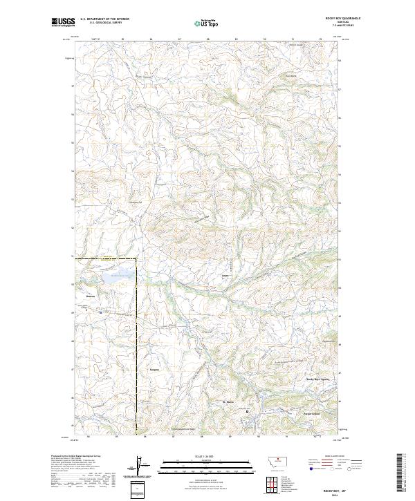 2024 Rocky Boy2024 Print · USGSThe Rocky Boy Reservation area comes into focus through its modern communities and civic landmarks in this recent survey. Local historians can trace the development of Rocky Boy's Agency and Stone Child College, or find family sites near Rocky Boy Cem and Parker School.
End of results
Showing maps 1-11 of 11
Frequently asked questions
- What are the different types of historical maps available for Boneau?
- What is the oldest map of Boneau?
- Where can I purchase historical maps of Boneau for my home or office?
- Where can I download high-res historical maps of Boneau?
- Are there historical topographic maps available for Boneau?
- Is there historical aerial imagery available for Boneau?
- Where are historical maps of Boneau sourced from?