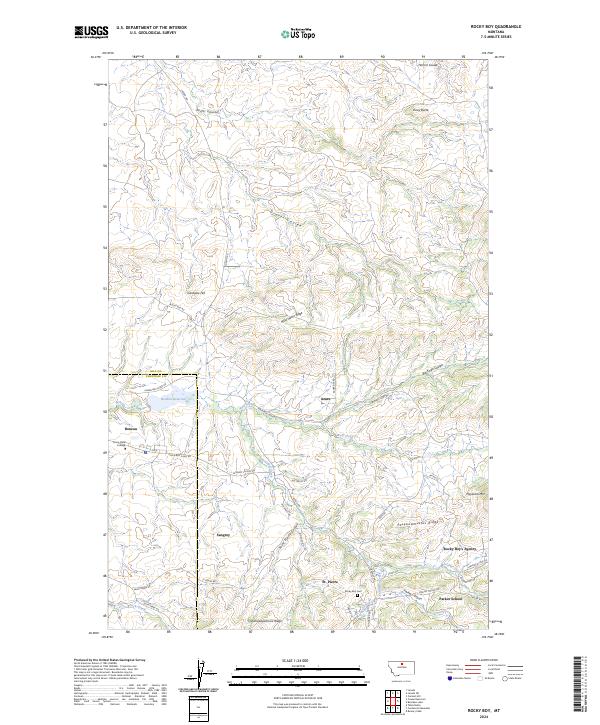
2024 Map of Rocky Boy
USGS Topo · Published 2024About this map
Rocky Boy's Agency and the surrounding communities of Azure, Sangrey, St. Pierre, and Boneau form the cultural and civic heart of this landscape. The settlement pattern is defined by a network of BIA and local roads like Sangrey School Rd and Agency Rd that navigate a terrain of dramatic ridges and coulees. Education and community sites are central to the map, including Stone Child College near the northern boundary and Parker School to the southeast.
Find a feature on this map
52 named features on this map. Tap any name to fly to it.
Don’t see what you’re looking for? This feature index may not catch every label — zoom into the map to look around manually.
Map Details
Editions of this 2024 Rocky Boy Map
This is the sole edition of this map. No revisions or reprints were ever made.
Other maps of this area

1953 · Havre
USGS Topo · 1:250,000

1957 · Havre
USGS Topo · 1:250,000

1958 · Havre
USGS Topo · 1:250,000

1959 · Warrick
USGS Topo · 1:62,500

1959 · Laredo
USGS Topo · 1:62,500

1959 · Centennial Mountain
USGS Topo · 1:62,500

1959 · Shambo
USGS Topo · 1:62,500
1970 · Laredo
USGS Topo · 1:24,000
1984 · Bearpaw Lake
USGS Topo · 1:24,000
1984 · Laredo NE
USGS Topo · 1:24,000