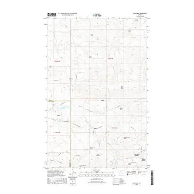
2017 Map of Rocky Boy
USGS Topo · Published 2017About this map
Rocky Boy's Agency and the Stone Child Coll serve as focal points for this high-plains landscape, where the boundary between Hill and Chouteau counties meets the complex terrain of the Bearpaw Mountains. The settlement patterns are defined by scattered communities like Azure, Boneau, Sangrey, and St. Pierre, connected by a network of local roads such as Lower Box Elder Rd and Haystack Loop Rd.
Find a feature on this map
56 named features on this map. Tap any name to fly to it.
Don’t see what you’re looking for? This feature index may not catch every label — zoom into the map to look around manually.
Map Details
Editions of this 2017 Rocky Boy Map
This is the sole edition of this map. No revisions or reprints were ever made.
Other maps of this area
1953 · Havre
USGS Topo · 1:250,000
1957 · Havre
USGS Topo · 1:250,000
1958 · Havre
USGS Topo · 1:250,000
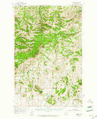
1959 · Warrick
USGS Topo · 1:62,500
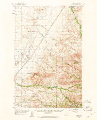
1959 · Laredo
USGS Topo · 1:62,500
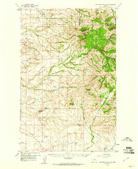
1959 · Centennial Mountain
USGS Topo · 1:62,500
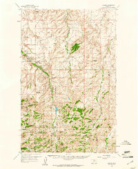
1959 · Shambo
USGS Topo · 1:62,500
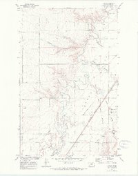
1970 · Laredo
USGS Topo · 1:24,000
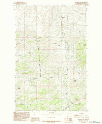
1984 · Bearpaw Lake
USGS Topo · 1:24,000
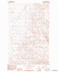
1984 · Laredo NE
USGS Topo · 1:24,000