Old Maps of Highwood, Montana for Metal Detecting
Plan your next treasure hunt with 19 historic maps of Highwood. Find old homesites, ghost towns, trails, and gathering spots that may be lost to time — perfect for identifying promising metal detecting locations.
- Locate forgotten sites: Uncover places like long-lost settlements, abandoned rail lines, or gathering spots.
- Plan better hunts: Use map overlays combined with LiDAR or satellite views to narrow in on historically rich areas.
- Made for detectorists: Thousands of hobbyists use these maps to discover relics, coins, and hidden history.
Use these historic maps to boost your research and find new opportunities beneath the surface of Highwood.
Highwood, MT maps
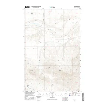
(19)- 1890 Map of Fort Benton
 1890 Fort Benton1890 Print · USGSUpper Missouri river country was transforming in the late nineteenth century as rail lines and ranching settlements expanded across the plains. Genealogists and historians can trace early land routes between Fort Benton, Stanford, and the mining district around Clendenin.
 - 1892 Map of Fort Benton
 1892 Fort Benton1892 Print · USGSUpper Missouri River country in the late nineteenth century shows the transition from river commerce to the iron horse. Genealogists and historians can trace early settlements like Stanford and Fort Benton alongside the St Paul Minneapolis and Manitoba Railroad.
 - 1897 Map of Fort Benton
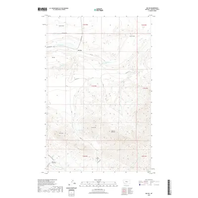
 1897 Fort Benton1897 Print · USGSUpper Missouri River territory is charted here during its transition from a river-based economy to a rail-and-ranching frontier. Researchers can trace the early layouts of Fort Benton and Stanford, or locate remote sites like Barker Mtn and Riceville.4 unique versions available
 - 1954 Map of Great Falls
 1954 Great Falls1954 Print · USGSThe Missouri River valley in the mid-1950s is shown at a time of significant industrial and military growth. Genealogists and historians can locate early schools and rail stops like Tiger Butte Community Center, Fort Benton, and the Anaconda Wire Plant.4 unique versions available
 - 1956 Map of Highwood, 1957 Print
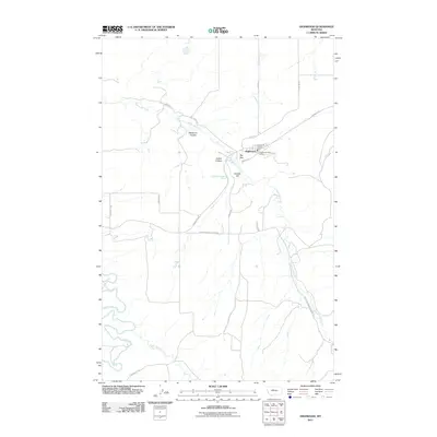
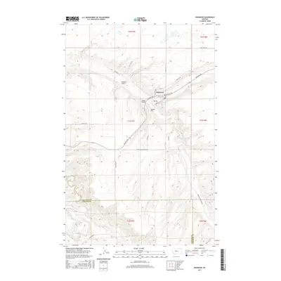
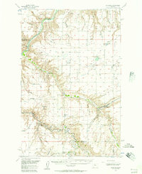 1956 Highwood1957 Print · USGSHighwood and the Chouteau County borderlands are seen here in the mid-1950s, a period defined by the Missouri River and the reaching tracks of the Milwaukee Road. Genealogists and historians can trace rail-side stops like Waltham and Lander Crossing, or locate the rural Shepherd Butte Sch near the forks of the Missouri River.2 unique versions available
 - 1957 Map of Great Falls
 1957 Great Falls1957 Print · USGSMontana's central plains and mountain foothills are captured here in the mid-fifties, showing the hub of Great Falls and the surrounding grain-shipping towns. Genealogists can trace family roots through the rail sidings of the Great Northern and small rural communities like Sand Coulee or Fort Benton.
 - 1979 Map of Big Sag
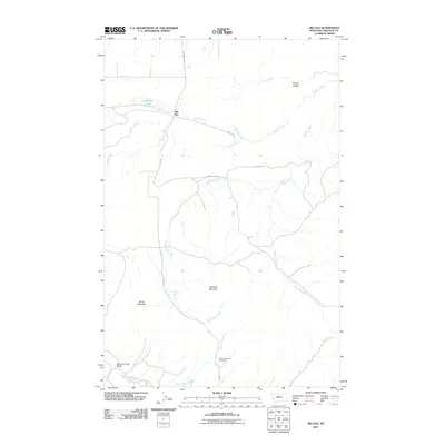
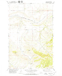 1979 Big Sag1979 Print · USGSChouteau County in the late seventies showcases a rugged Montana landscape transitioning from the Highwood Mountains to the northern plains. Genealogists and historians can locate Upper Highwood Cem and trace the path of the Chicago Milwaukee St Paul and Pacific railroad.
 - 1982 Map of Highwood, 1983 Print
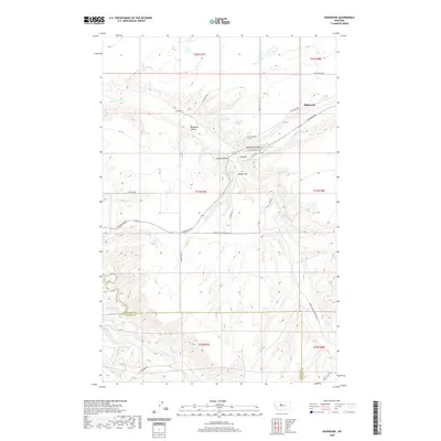
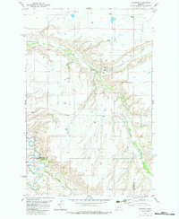 1982 Highwood1983 Print · USGSHighwood and the surrounding grain country are captured here in the early eighties, showing a landscape shaped by agricultural logistics and deep coulees. Trace the Old Railroad Grade past Highwood or locate the rural Cem near North Willow Creek.
 - 1984 Map of Fort Benton
 1984 Fort Benton1984 Print · USGSMid-century Montana life revolves around the river forks and rail lines in the years following the designation of the Wild and Scenic River. You can trace the Burlington Northern lines through Fort Benton, locate the Loma Ferry, and identify high points like Highwood Baldy or Square Butte.
 - 2011 Map of Highwood, 2011 Print
 2011 Highwood2011 Print · USGSCovers Highwood, including Cascade County, Chouteau County, and other nearby areas
 - 2011 Map of Big Sag, 2011 Print
 2011 Big Sag2011 Print · USGSCovers Highwood, including Big Sag, Chouteau County, and other nearby areas
 - 2014 Map of Big Sag, 2014 Print
 2014 Big Sag2014 Print · USGSCovers Highwood, including Big Sag, Chouteau County, and other nearby areas
 - 2014 Map of Highwood, 2014 Print
 2014 Highwood2014 Print · USGSCovers Highwood, including Cascade County, Chouteau County, and other nearby areas
 - 2017 Map of Big Sag, 2017 Print
 2017 Big Sag2017 Print · USGSCovers Highwood, including Big Sag, Chouteau County, and other nearby areas
 - 2017 Map of Highwood, 2017 Print
 2017 Highwood2017 Print · USGSCovers Highwood, including Cascade County, Chouteau County, and other nearby areas
 - 2020 Map of Highwood, 2020 Print
 2020 Highwood2020 Print · USGSCovers Highwood, including Cascade County, Chouteau County, and other nearby areas
 - 2020 Map of Big Sag, 2020 Print
 2020 Big Sag2020 Print · USGSCovers Highwood, including Big Sag, Chouteau County, and other nearby areas
 - 2024 Map of Highwood, 2024 Print
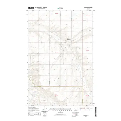
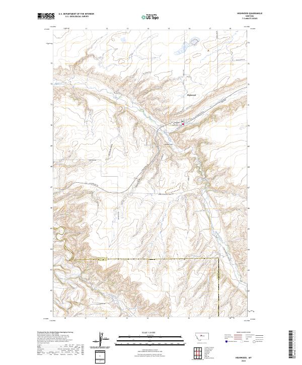 2024 Highwood2024 Print · USGSHighwood and the Highwood Mountains foothills are captured in this recent survey of the Chouteau County breaks. Researchers can trace the local road network and drainage systems including Highwood Creek, Dunbar Hill, and the unique geological feature known as Big Sag.
 - 2024 Map of Big Sag, 2024 Print
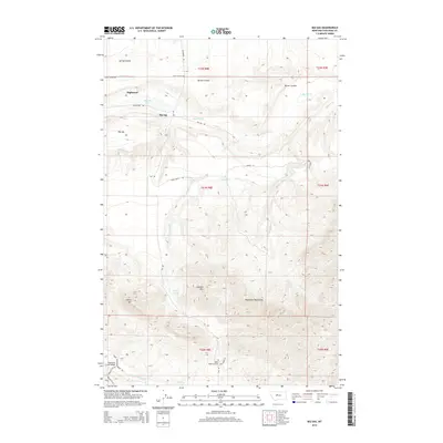
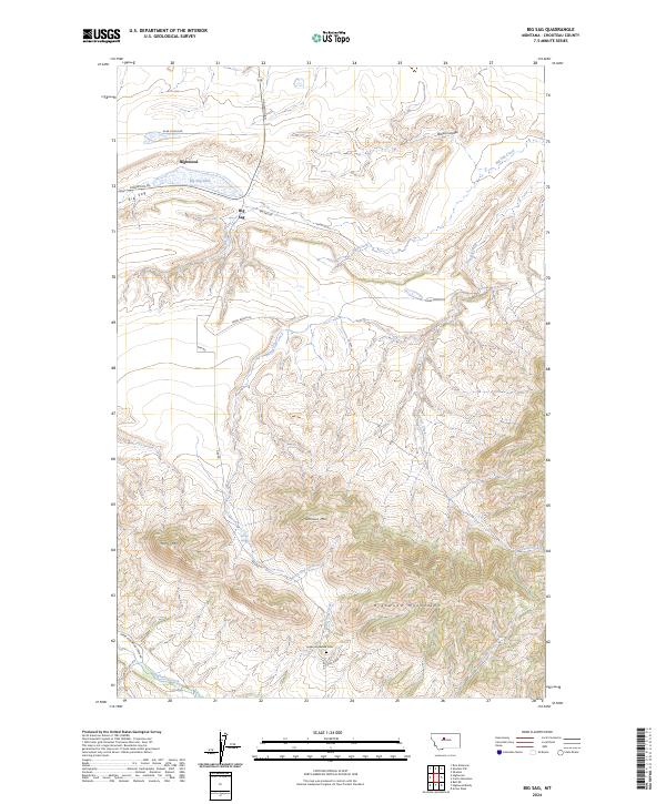 2024 Big Sag2024 Print · USGSThe Highwood Mountains rise above the Chouteau County plains in this modern survey of north-central Montana. Genealogists and historians can trace local landmarks like Upper Highwood Cem or explore the wetland landscape of the Big Sag Lake.
End of results
Showing maps 1-19 of 19
Top cities near Highwood
Frequently asked questions
- What are the different types of historical maps available for Highwood?
- What is the oldest map of Highwood?
- Where can I purchase historical maps of Highwood for my home or office?
- Where can I download high-res historical maps of Highwood?
- Are there historical topographic maps available for Highwood?
- Is there historical aerial imagery available for Highwood?
- Where are historical maps of Highwood sourced from?