Old Maps of Judith Landing, Montana for Hiking & Exploration
Hike through history with 8 historic maps of Judith Landing. Explore old trails, ghost towns, and forgotten backroads — perfect for outdoor adventurers and local explorers.
- Rediscover forgotten places: Map out old mining camps, roads, and footpaths that no longer exist on modern maps.
- Layer with modern tools: Combine with LiDAR or satellite views to plan hikes through historical terrain.
- Made for exploration: Popular among hikers, overlanders, and local history lovers.
Use these maps to find adventure and explore the hidden past of Judith Landing.
Judith Landing, MT maps
(8)- 1954 Map of Council Island, 1956 Print
 1954 Council Island1956 Print · USGSThe Missouri River breaks through the central Montana breaks during the mid-fifties, serving as a boundary for three counties. Local historians can trace early crossing points at Lohse PN Ferry and explore the remote path of Seventy-nine Road.2 unique versions available
 - 1954 Map of Lewistown, 1967 Print
 1954 Lewistown1967 Print · USGSCentral Montana at the height of the mid-century rail era reveals a landscape shaped by the Judith River and high mountain ranges. Trace the old lines of the Great Northern through Lewistown and Denton, or locate sites like Giltedge and Landusky.3 unique versions available
 - 1959 Map of Lewistown
 1959 Lewistown1959 Print · USGSCentral Montana in the mid-1950s shows a landscape defined by the winding Missouri River and the rise of the South Moccasin Mtns. Researchers can trace the rail lines of the Great Northern through towns like Winifred and locate the Cat Creek Oil Field.3 unique versions available
 - 2011 Map of Council Island, 2011 Print
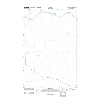 2011 Council Island2011 Print · USGSIn the early twenty-first century, the Missouri River corridor in Chouteau County remains a landscape of remote river crossings and island chains. Researchers can trace the junction of Dog Creek and the Missouri, or locate river transit points like the Lohse PN Ferry and Winifred Bridge.
 - 2014 Map of Council Island, 2014 Print
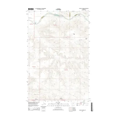 2014 Council Island2014 Print · USGSThe Missouri River corridor along the Chouteau and Fergus county lines is captured here in the early twenty-first century. Researchers can trace the river's winding path through Holmes Rapids and locate isolated landmarks like Council Island and Whiskey Ridge.
 - 2017 Map of Council Island, 2017 Print
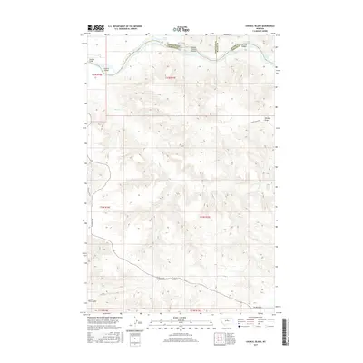 2017 Council Island2017 Print · USGSThe Missouri River flows through the meeting point of three counties in this early twenty-first-century view of the Montana prairie. Map collectors and historians can trace river crossings at Winifred Bridge, navigate the Holmes Rapids, and locate the P N Ranch.
 - 2020 Map of Council Island, 2020 Print
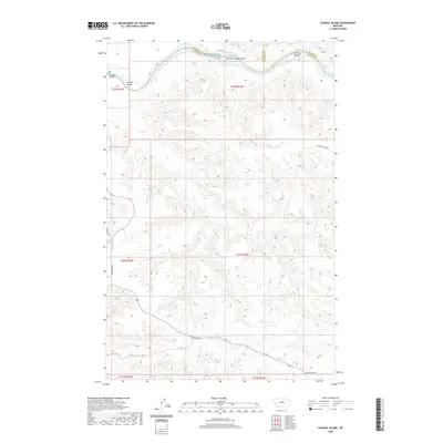 2020 Council Island2020 Print · USGSThe Missouri River breaks through the Montana high plains at the meeting point of three counties in this modern topographical study. Trace the river's hazardous navigation through Holmes Rapids and locate isolated landmarks like Council Island and Iron City Islands.
 - 2024 Map of Council Island, 2024 Print
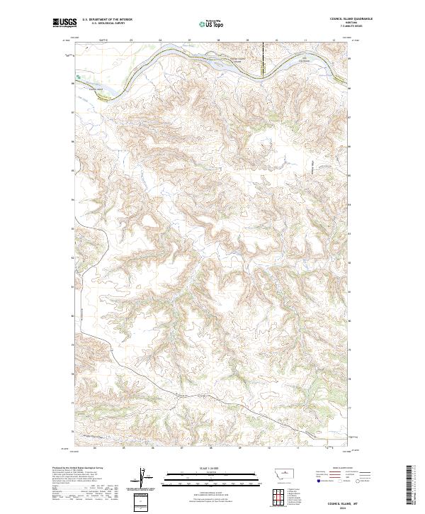 2024 Council Island2024 Print · USGSThe Missouri River breaks of Fergus and Chouteau counties are captured here in their modern protected state. Researchers can trace the winding river corridor to find Holmes Rapids, the Iron City Islands, and the historic path of Pn Bridge Rd.
End of results
Showing maps 1-8 of 8
Frequently asked questions
- What are the different types of historical maps available for Judith Landing?
- What is the oldest map of Judith Landing?
- Where can I purchase historical maps of Judith Landing for my home or office?
- Where can I download high-res historical maps of Judith Landing?
- Are there historical topographic maps available for Judith Landing?
- Is there historical aerial imagery available for Judith Landing?
- Where are historical maps of Judith Landing sourced from?