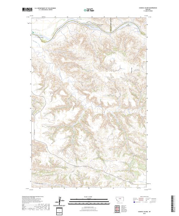
2024 Map of Council Island
USGS Topo · Published 2024About this map
The Missouri Wild and Scenic River carves a winding path through this central Montana landscape, where the borders of Fergus, Chouteau, and Blaine counties converge. This map documents a protected corridor within the Upper Missouri River Breaks National Monument, characterized by intricate drainages like Dog Creek and the southern Seventy Nine Coulee. Navigation and river geography are primary themes here, with the presence of Holmes Rapids and McKeever Rapids indicating the natural, unhindered flow of the river as it was experienced by early travelers. Prominent river features such as Council Island, the Holmes Council Islands, and Iron City Islands serve as fixed points in an otherwise fluid environment. Upland, the topography transitions to high plateaus accessed by remote routes like Whiskey Ridge Rd and Pn Bridge Rd, reflecting the sparse ranching and conservation character of the modern era.
Find a feature on this map
23 named features on this map. Tap any name to fly to it.
Don’t see what you’re looking for? This feature index may not catch every label — zoom into the map to look around manually.
Map Details
Editions of this 2024 Council Island Map
This is the sole edition of this map. No revisions or reprints were ever made.
Other maps of this area

1954 · P N Ranch
USGS Topo · 1:24,000

1954 · Gallatin Rapids
USGS Topo · 1:24,000

1954 · Council Island
USGS Topo · 1:24,000

1954 · Lewistown
USGS Topo · 1:250,000

1959 · Lewistown
USGS Topo · 1:250,000

1964 · Wolf Creek Falls
USGS Topo · 1:24,000

1964 · Pigtail Coulee
USGS Topo · 1:24,000

1964 · Anderson Bridge
USGS Topo · 1:24,000

1964 · Ragland Bench
USGS Topo · 1:24,000

1964 · Chase Hill
USGS Topo · 1:24,000