Old Maps of Judith Landing, Montana for Metal Detecting
Plan your next treasure hunt with 8 historic maps of Judith Landing. Find old homesites, ghost towns, trails, and gathering spots that may be lost to time — perfect for identifying promising metal detecting locations.
- Locate forgotten sites: Uncover places like long-lost settlements, abandoned rail lines, or gathering spots.
- Plan better hunts: Use map overlays combined with LiDAR or satellite views to narrow in on historically rich areas.
- Made for detectorists: Thousands of hobbyists use these maps to discover relics, coins, and hidden history.
Use these historic maps to boost your research and find new opportunities beneath the surface of Judith Landing.
Judith Landing, MT maps
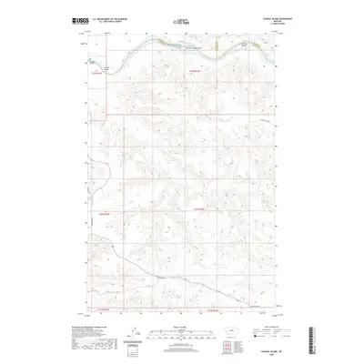
(8)- 1954 Map of Council Island, 1956 Print
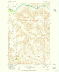 1954 Council Island1956 Print · USGSThe Missouri River breaks through the central Montana breaks during the mid-fifties, serving as a boundary for three counties. Local historians can trace early crossing points at Lohse PN Ferry and explore the remote path of Seventy-nine Road.2 unique versions available
 - 1954 Map of Lewistown, 1967 Print
 1954 Lewistown1967 Print · USGSCentral Montana at the height of the mid-century rail era reveals a landscape shaped by the Judith River and high mountain ranges. Trace the old lines of the Great Northern through Lewistown and Denton, or locate sites like Giltedge and Landusky.3 unique versions available
 - 1959 Map of Lewistown
 1959 Lewistown1959 Print · USGSCentral Montana in the mid-1950s shows a landscape defined by the winding Missouri River and the rise of the South Moccasin Mtns. Researchers can trace the rail lines of the Great Northern through towns like Winifred and locate the Cat Creek Oil Field.3 unique versions available
 - 2011 Map of Council Island, 2011 Print
 2011 Council Island2011 Print · USGSCovers Judith Landing, including Fergus County, Chouteau County, and other nearby areas
 - 2014 Map of Council Island, 2014 Print
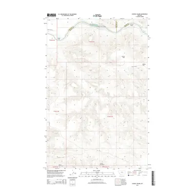 2014 Council Island2014 Print · USGSCovers Judith Landing, including Fergus County, Chouteau County, and other nearby areas
 - 2017 Map of Council Island, 2017 Print
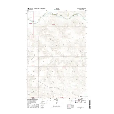 2017 Council Island2017 Print · USGSCovers Judith Landing, including Fergus County, Chouteau County, and other nearby areas
 - 2020 Map of Council Island, 2020 Print
 2020 Council Island2020 Print · USGSCovers Judith Landing, including Fergus County, Chouteau County, and other nearby areas
 - 2024 Map of Council Island, 2024 Print
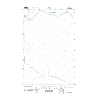
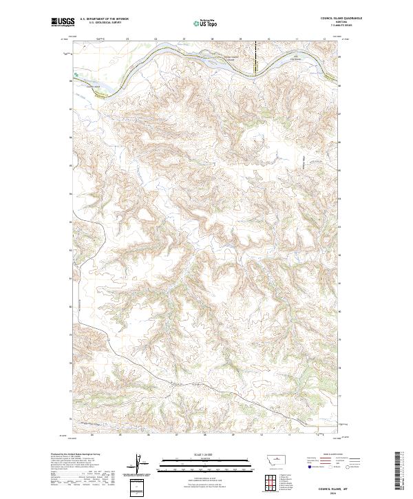 2024 Council Island2024 Print · USGSThe Missouri River breaks of Fergus and Chouteau counties are captured here in their modern protected state. Researchers can trace the winding river corridor to find Holmes Rapids, the Iron City Islands, and the historic path of Pn Bridge Rd.
End of results
Showing maps 1-8 of 8
Frequently asked questions
- What are the different types of historical maps available for Judith Landing?
- What is the oldest map of Judith Landing?
- Where can I purchase historical maps of Judith Landing for my home or office?
- Where can I download high-res historical maps of Judith Landing?
- Are there historical topographic maps available for Judith Landing?
- Is there historical aerial imagery available for Judith Landing?
- Where are historical maps of Judith Landing sourced from?