2000s (21st Century) Maps of Kalispell, Montana
Explore 15 historic maps of Kalispell from the 2000s (21st Century). These maps offer a rare glimpse into what life looked like during the 2000s — showing old roads, neighborhoods, homes, and landmarks that have changed or disappeared over time.
Whether you're researching your family's past, planning a metal detecting trip, or studying how Kalispell's landscape evolved across the 2000s, these high-resolution maps are a powerful tool for exploring the history of this region.
- Focus on a specific era: All maps on this page are from the 2000s, giving you a focused view of this time period.
- See what’s changed: Compare century-old streets, trails, and buildings to today's modern landscape using overlays and satellite layers.
- Research with precision: Use these maps for genealogy, historical research, land use analysis, or educational projects.
- View, download, or print: Maps are fully viewable online in high resolution, and can be downloaded or printed for your own records.
Start exploring Kalispell's history through authentic maps from the 2000s. This is your window into the past.
Kalispell, MT maps
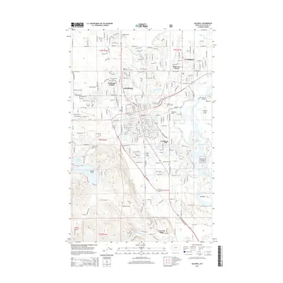
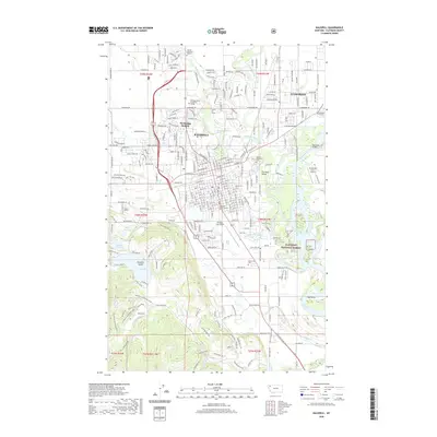
(15)- 2011 Map of Kalispell, 2011 Print
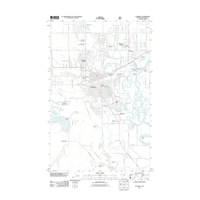 2011 Kalispell2011 Print · USGSCovers Kalispell, including Foys Canyon, Flathead County, and other nearby areas
 - 2011 Map of Blue Grass Ridge, 2011 Print
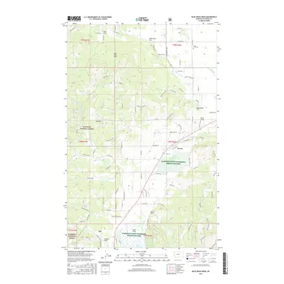
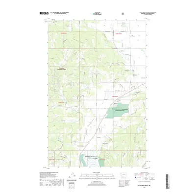
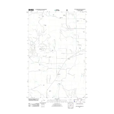 2011 Blue Grass Ridge2011 Print · USGSCovers Kalispell, including Batavia, Flathead County, and other nearby areas
 - 2011 Map of Rose Crossing, 2011 Print
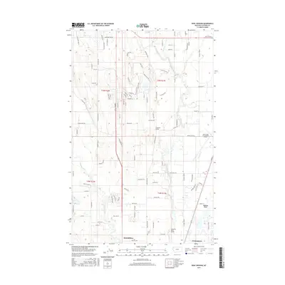
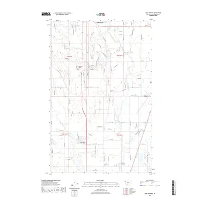
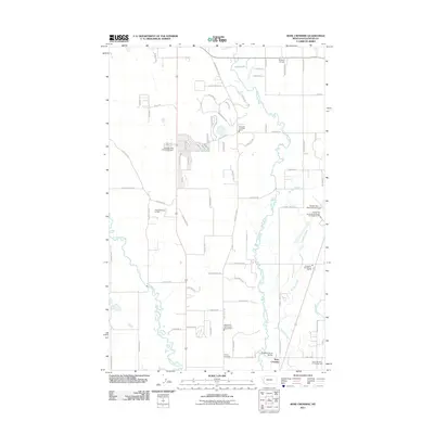 2011 Rose Crossing2011 Print · USGSCovers Kalispell, including Whitefish, Forest Acres Mobile Home Park, and other nearby areas
 - 2014 Map of Rose Crossing, 2014 Print
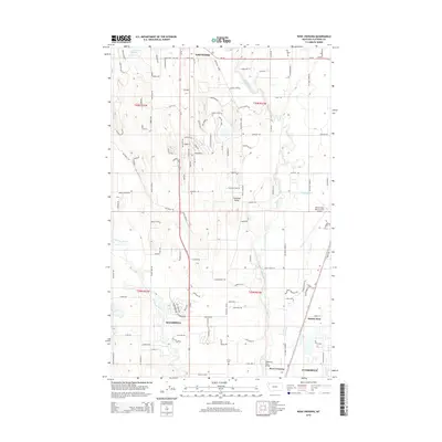 2014 Rose Crossing2014 Print · USGSCovers Kalispell, including Whitefish, Forest Acres Mobile Home Park, and other nearby areas
 - 2014 Map of Blue Grass Ridge, 2014 Print
 2014 Blue Grass Ridge2014 Print · USGSCovers Kalispell, including Batavia, Flathead County, and other nearby areas
 - 2014 Map of Kalispell, 2014 Print
 2014 Kalispell2014 Print · USGSCovers Kalispell, including Foys Canyon, Flathead County, and other nearby areas
 - 2017 Map of Rose Crossing, 2017 Print
 2017 Rose Crossing2017 Print · USGSCovers Kalispell, including Whitefish, Forest Acres Mobile Home Park, and other nearby areas
 - 2017 Map of Blue Grass Ridge, 2017 Print
 2017 Blue Grass Ridge2017 Print · USGSCovers Kalispell, including Batavia, Flathead County, and other nearby areas
 - 2017 Map of Kalispell, 2017 Print
 2017 Kalispell2017 Print · USGSCovers Kalispell, including Foys Canyon, Flathead County, and other nearby areas
 - 2020 Map of Kalispell, 2020 Print
 2020 Kalispell2020 Print · USGSCovers Kalispell, including Foys Canyon, Flathead County, and other nearby areas
 - 2020 Map of Blue Grass Ridge, 2020 Print
 2020 Blue Grass Ridge2020 Print · USGSCovers Kalispell, including Batavia, Flathead County, and other nearby areas
 - 2020 Map of Rose Crossing, 2020 Print
 2020 Rose Crossing2020 Print · USGSCovers Kalispell, including Whitefish, Forest Acres Mobile Home Park, and other nearby areas
 - 2024 Map of Blue Grass Ridge, 2024 Print
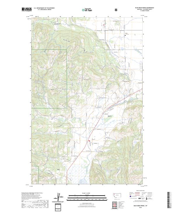 2024 Blue Grass Ridge2024 Print · USGSFlathead County settlements and wetlands come into focus in this contemporary survey of the Montana landscape. Genealogists and local historians can trace the roads around Smith Valley, find Spring Creek Cem, or study the boundaries of the Flathead County Waterfowl Production Area.
 - 2024 Map of Kalispell, 2024 Print
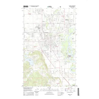
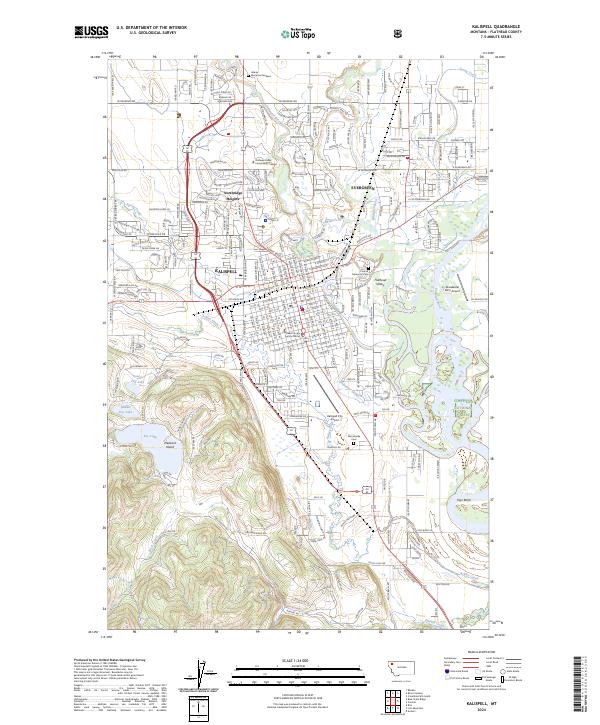 2024 Kalispell2024 Print · USGSKalispell and the surrounding Flathead Valley are shown in detail as they appeared in the 2020s. Researchers can trace local history through sites like the Conrad Memorial Cem, Kalispell City Airport, and the campus of Flathead Valley Community College.
 - 2024 Map of Rose Crossing, 2024 Print
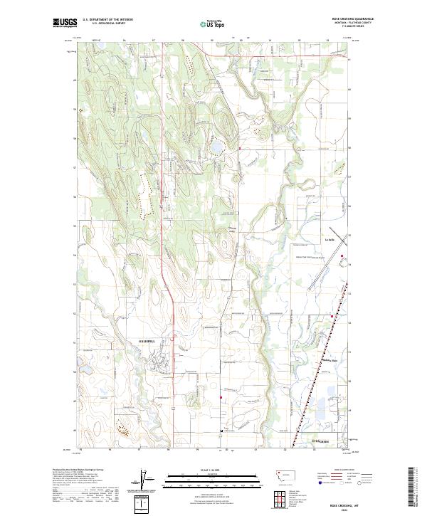 2024 Rose Crossing2024 Print · USGSThe Flathead Valley north of Kalispell comes into focus in this contemporary survey of the Montana high country. Researchers can trace the sprawling residential growth around Kalispell and Evergreen, or locate family sites near Trinity Lutheran Cem and La Salle.
End of results
Showing maps 1-15 of 15
Top cities near Kalispell
Top neighborhoods of Kalispell
- Kalispell South historical maps
- Northwest historical maps
- Southwest historical maps
- Empire Estates historical maps
- Northridge Heights historical maps
- Kalispell North historical maps
See more
Frequently asked questions
- What are the different types of historical maps available for Kalispell?
- What is the oldest map of Kalispell?
- Where can I purchase historical maps of Kalispell for my home or office?
- Where can I download high-res historical maps of Kalispell?
- Are there historical topographic maps available for Kalispell?
- Is there historical aerial imagery available for Kalispell?
- Where are historical maps of Kalispell sourced from?