Old Maps of Rhodes, Montana for Genealogy
Trace your family roots with 13 historic maps of Rhodes. These high-res maps reveal old neighborhoods, homesites, landmarks, and streets — helping you uncover where your ancestors lived and how the area evolved over time.
- Explore historic neighborhoods: Identify where your relatives may have lived in the 1800s or 1900s.
- Compare maps over time: Trace the changes in streets, buildings, and landmarks for multi-generational research.
- Perfect for genealogy & ancestry research: Used by family historians and researchers to map out lineage and migration.
These maps are an incredible resource for exploring your personal connection to Rhodes's past.
Rhodes, MT maps
(13)- 1943 Map of Kalispell
 1943 Kalispell1943 Print · USGSThe Flathead Valley's mid-century rail and river networks are preserved here as Kalispell expanded. Genealogists and historians can trace defunct river crossings like Therriaults Ferry, the old Demersville site, and the rail path of the Somers Kalispell Br.
 - 1957 Map of Kalispell, 1967 Print
 1957 Kalispell1967 Print · USGSNorthwest Montana in the late fifties showcases a mountain landscape transitioning between wilderness and industry. Genealogists and researchers can trace the Great Northern rail corridor through Kalispell and Whitefish, or locate landmarks like the Montana Soldiers Home and Hungry Horse Reservoir.3 unique versions available
 - 1960 Map of Kalispell
 1960 Kalispell1960 Print · USGSNorthwest Montana in the late fifties is defined by the mountain corridors of the Great Northern Railway and the vast reaches of Glacier National Park. Researchers can trace the legacy of timber and mining towns like Libby, Rexford, and Whitefish, or locate landmarks such as the Snowshoe Mine.
 - 1961 Map of Kalispell
 1961 Kalispell1961 Print · USGSNorthwestern Montana at the start of the 1960s shows a landscape of timber-driven rail towns and the sprawling wild lands of Glacier National Park. Genealogists and historians can trace the route of the Great Northern through mountain passes or locate old settlements like Fortine, Trego, and Warland.
 - 1962 Map of Rhodes, 1964 Print
 1962 Rhodes1964 Print · USGSNorthwest Montana in the early sixties reveals a landscape of high timber ridges and active valley communities. Genealogists and local historians can trace the social hubs of the era at the Bissell Sch, Stillwater Ch, and the settlement of Rhodes.2 unique versions available
 - 1981 Map of Kalispell, 1982 Print
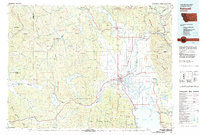 1981 Kalispell1982 Print · USGSThe Flathead Valley in the early eighties shows a landscape defined by timber, tourism, and transit. Genealogists and historians can trace the growth of Evergreen, Bigfork, and Somers or locate early aviation landmarks like the Glacier Park Intl Airport.
 - 1991 Map of Rhodes, 1995 Print
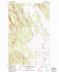 1991 Rhodes1995 Print · USGSThe Stillwater River valley in Flathead County comes into focus here during the early 1990s. Genealogists and local historians can trace the foundations of the community through the Bissell Sch, Stillwater Ch, and the Northwest Flathead Community Hall.
 - 1994 Map of Rhodes, 1997 Print
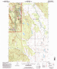 1994 Rhodes1997 Print · USGSThe Flathead Valley and its timbered ridges come into focus in the 1990s as agricultural life meets protected forest land. Genealogists can locate family landmarks like Bissell Sch, Rhodes, and the Bissell Grange Hall near the banks of the Stillwater River.
 - 2011 Map of Rhodes, 2011 Print
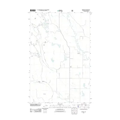 2011 Rhodes2011 Print · USGSRhodes and the surrounding Flathead County countryside are shown here in the early twenty-first century, as rural residential growth expanded through the river valleys. Genealogists and locals can trace family-named landmarks and infrastructure like Bates Airstrip, Skyles Lake Dam, and the winding Stillwater River.
 - 2014 Map of Rhodes, 2014 Print
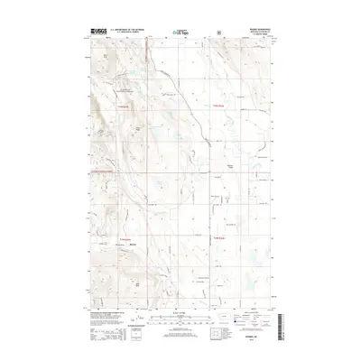 2014 Rhodes2014 Print · USGSThe rural community of Rhodes and the surrounding Flathead Valley are captured here during the mid-2010s. Local researchers can identify family-named roads and landmarks like Bates Airstrip, Hanson-Doyle Lake, and the winding Stillwater River.
 - 2017 Map of Rhodes, 2017 Print
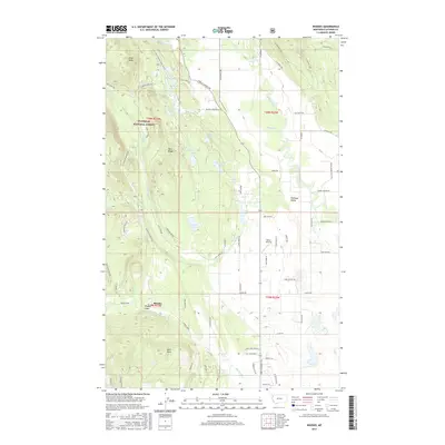 2017 Rhodes2017 Print · USGSThe Flathead Valley and the surrounding ridges come into focus in this 2017 survey, showing where the national forest meets rural ranch lands. Researchers can trace local landmarks like Bates Airstrip, family-named routes such as Kuhns Road, and numerous water bodies including Hanson-Doyle Lake.
 - 2020 Map of Rhodes, 2020 Print
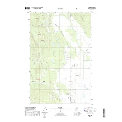 2020 Rhodes2020 Print · USGSThe settlement of Rhodes sits at the edge of the Flathead National Forest during the early twenty-first century. Genealogists and historians can trace family-named roads and remote landmarks like Bates Airstrip, Bald Rock, and the Stillwater River.
 - 2024 Map of Rhodes, 2024 Print
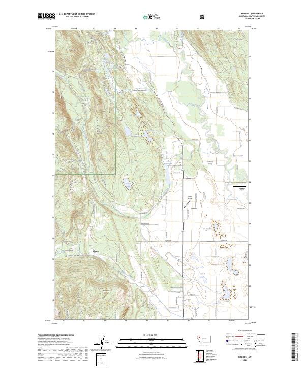 2024 Rhodes2024 Print · USGSThe western Flathead Valley meets the forested ridgelines of the Rocky Mountains in this recent survey. Local historians can trace family land along Rhodes Draw or locate landmarks like the Stillwater Airport and Bowser Lake.
End of results
Showing maps 1-13 of 13
Top cities near Rhodes
Frequently asked questions
- What are the different types of historical maps available for Rhodes?
- What is the oldest map of Rhodes?
- Where can I purchase historical maps of Rhodes for my home or office?
- Where can I download high-res historical maps of Rhodes?
- Are there historical topographic maps available for Rhodes?
- Is there historical aerial imagery available for Rhodes?
- Where are historical maps of Rhodes sourced from?