Old Maps of Three Forks, Montana for Academic Research
Study the evolution of Three Forks with 22 high-resolution historic maps. Whether you're teaching, researching, or modeling changes in land use, these maps provide essential visual documentation of urban, environmental, and geographic change.
- Analyze long-term change: Track patterns in development, transportation, and natural features.
- Ideal for environmental or urban studies: Support academic projects with primary historical map data.
- Use in the classroom or lab: Educators and researchers rely on these maps to bring historical context to life.
These maps are a powerful tool for teaching, research, and visualizing how Three Forks has changed over the decades.
Three Forks, MT maps
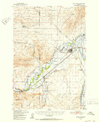
(22)- 1888 Map of Three Forks
 1888 Three Forks1888 Print · USGSSouthwestern Montana was a land of mining camps and river junctions in the late nineteenth century, as the railroad began to connect established valleys. Genealogists can trace family roots through pioneer settlements like Virginia City, Salesville, and Spring Hill, or locate early crossings at Barton's Bridge.
 - 1894 Map of Three Forks
 1894 Three Forks1894 Print · USGSSouthwestern Montana thrives along the river forks and rail lines during the mid-1880s. Genealogists and historians can trace early town sites like Pony, Logan, and Salesville while locating river crossings such as Fly's Bridge and Shedds Bridge.
 - 1895 Map of Three Forks
 1895 Three Forks1895 Print · USGSSouthern Montana was a landscape of emerging rail towns and gold-country gulches during the mid-1890s. Genealogists and historians can trace the early footprints of Bozeman, locate Guns Ranch, and follow the Northern Pacific Railroad through Three Forks.5 unique versions available
 - 1947 Map of Bozeman, 1948 Print
 1947 Bozeman1948 Print · USGSBozeman and the surrounding mountain ranges are captured here just after the war, showing the vital rail and river networks of southwestern Montana. Genealogists and historians can trace routes to early settlements like Virginia City, Gallatin Gateway, and the mountain community of Jardine.
 - 1948 Map of Bozeman, 1951 Print
 1948 Bozeman1951 Print · USGSSouthern Montana in the late 1940s is shown as a high-country crossroads of rail lines and river headwaters. Genealogists and historians can trace old town sites like Virginia City and McLeod alongside the Northern Pacific and Milwaukee Road railroads.
 - 1950 Map of Three Forks, 1953 Print
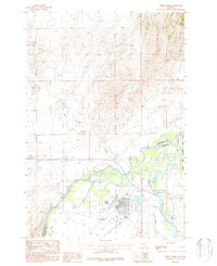
 1950 Three Forks1953 Print · USGSThree Forks and the surrounding Gallatin Valley are captured here just after the war, showing the historic meeting of the rivers that form the Missouri. Genealogists and historians can trace the foundations of this ranching community through the Jefferson Sch, Fairview Cem, and the Climbing Arrow Ranch.4 unique versions available
 - 1955 Map of Bozeman
 1955 Bozeman1955 Print · USGSBozeman and the upper Missouri River headwaters are captured here during the mid-fifties, showing the vital rail and river networks of southwestern Montana. Local historians can trace the routes of the Northern Pacific railroad through Livingston and locate smaller settlements like Trident, Anceney, and Jardine.
 - 1958 Map of Bozeman, 1968 Print
 1958 Bozeman1968 Print · USGSThe Gallatin and Madison River valleys are captured here in the late fifties, showing the region's transition into a modern mountain hub. Genealogists and historians can trace the paths of the Northern Pacific RR, locate the Anceney School, and see the early layout of Bozeman.3 unique versions available
 - 1965 Map of Bozeman
 1965 Bozeman1965 Print · USGSSouthwestern Montana's river valleys and mountain ranges appear in detail during the early 1960s. Genealogists and historians can trace rail-era settlements like Trident, locate the Anceney School, and see the early footprint of Montana State College.
 - 1987 Map of Three Forks
 1987 Three Forks1987 Print · USGSThe confluence of the Jefferson, Madison, and Missouri Rivers dominates this 1980s Montana landscape near the Gallatin and Broadwater county line. Researchers can trace the town's industrial footprint through the Grain Elevator, Old RR Grade, and various Mine Shafts in the northern hills.
 - 1987 Map of Three Forks SE
 1987 Three Forks SE1987 Print · USGSGallatin and Broadwater counties meet here in the late 1980s, where the river-fed valley is shaped by a complex network of irrigation and utility. Researchers can trace family-named routes like Buttleman and Crowley or locate the Fairview Cem.
 - 1992 Map of Bozeman
 1992 Bozeman1992 Print · USGSThe Gallatin and Madison valleys are captured here in the early nineties, centered on the growth of the Montana State University area. Researchers can trace the legacy of mining in the Tobacco Root Mountains or locate landmarks like the Madison Buffalo Jump State Monument and Church Hill Church.
 - 2011 Map of Three Forks, 2011 Print
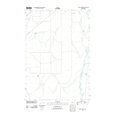
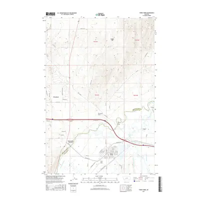
 2011 Three Forks2011 Print · USGSCovers Three Forks, including Murphys Trailer Court, Copper City, and other nearby areas
 - 2011 Map of Three Forks SE, 2011 Print
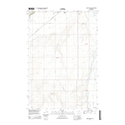
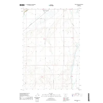
 2011 Three Forks SE2011 Print · USGSCovers Three Forks, including Gallatin County, Broadwater County, and other nearby areas
 - 2014 Map of Three Forks SE, 2014 Print
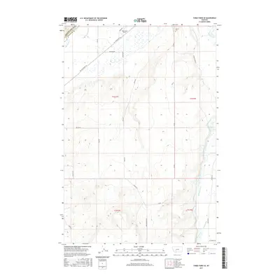
 2014 Three Forks SE2014 Print · USGSCovers Three Forks, including Gallatin County, Broadwater County, and other nearby areas
 - 2014 Map of Three Forks, 2014 Print
 2014 Three Forks2014 Print · USGSCovers Three Forks, including Murphys Trailer Court, Copper City, and other nearby areas
 - 2017 Map of Three Forks SE, 2017 Print
 2017 Three Forks SE2017 Print · USGSCovers Three Forks, including Gallatin County, Broadwater County, and other nearby areas
 - 2017 Map of Three Forks, 2017 Print
 2017 Three Forks2017 Print · USGSCovers Three Forks, including Murphys Trailer Court, Copper City, and other nearby areas
 - 2020 Map of Three Forks SE, 2020 Print
 2020 Three Forks SE2020 Print · USGSCovers Three Forks, including Gallatin County, Broadwater County, and other nearby areas
 - 2020 Map of Three Forks, 2020 Print
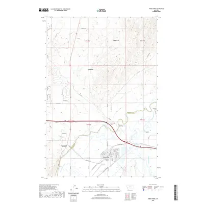 2020 Three Forks2020 Print · USGSCovers Three Forks, including Murphys Trailer Court, Copper City, and other nearby areas
 - 2024 Map of Three Forks, 2024 Print
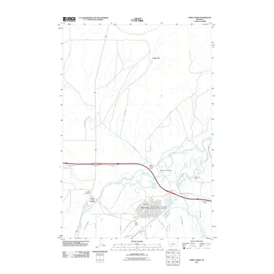
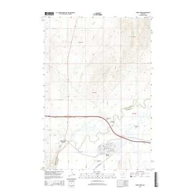
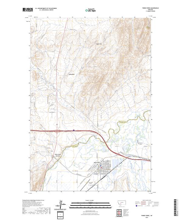 2024 Three Forks2024 Print · USGSThe Gallatin Valley unfolds in the 2020s at the historic meeting of the Jefferson River and Madison River. Genealogists and researchers can trace the modern layout of Three Forks, follow the path of the Old Yellowstone Trail, and locate regional landmarks like Copper City and Hasskamp Airport.
 - 2024 Map of Three Forks SE, 2024 Print
 2024 Three Forks SE2024 Print · USGSGallatin and Broadwater counties appear here in the contemporary era, defined by the Madison River and its essential irrigation network. Researchers can trace the Old Yellowstone Trl, locate the Fairview Cem, and survey the lands around Wheatland and Willow Creek.
End of results
Showing maps 1-22 of 22
Top cities near Three Forks
Top neighborhoods of Three Forks
Frequently asked questions
- What are the different types of historical maps available for Three Forks?
- What is the oldest map of Three Forks?
- Where can I purchase historical maps of Three Forks for my home or office?
- Where can I download high-res historical maps of Three Forks?
- Are there historical topographic maps available for Three Forks?
- Is there historical aerial imagery available for Three Forks?
- Where are historical maps of Three Forks sourced from?