Old Maps of Chimney Crossing, Montana for Academic Research
Study the evolution of Chimney Crossing with 11 high-resolution historic maps. Whether you're teaching, researching, or modeling changes in land use, these maps provide essential visual documentation of urban, environmental, and geographic change.
- Analyze long-term change: Track patterns in development, transportation, and natural features.
- Ideal for environmental or urban studies: Support academic projects with primary historical map data.
- Use in the classroom or lab: Educators and researchers rely on these maps to bring historical context to life.
These maps are a powerful tool for teaching, research, and visualizing how Chimney Crossing has changed over the decades.
Chimney Crossing, MT maps
(11)- 1954 Map of Jordan, 1965 Print
 1954 Jordan1965 Print · USGSGarfield County in the mid-fifties is a land of expansive ranches and isolated prairie schoolhouses. Researchers can trace rural genealogy and land use through landmarks like Regina School, Robertson Brothers Ranch, and the Charles M Russell National Wildlife Range.2 unique versions available
 - 1956 Map of Jordan
 1956 Jordan1956 Print · USGSCentral Montana ranching country and the massive Missouri River impoundment are captured here in the mid-fifties. Researchers can trace remote homesteading landmarks like Robertson Brothers Ranch and small rural hubs including Jordan, Brusett, and Cohagen.
 - 1958 Map of Jordan
 1958 Jordan1958 Print · USGSGarfield County and the Missouri River country are shown here in the late fifties as the regional geography adjusted to the massive new reservoir. Genealogists and local historians can trace isolated homesteads and numerous rural schoolhouses like Iler School, Brusett, and the Robertson Brothers Ranch.
 - 1964 Map of Jordan
 1964 Jordan1964 Print · USGSGarfield County and the surrounding Montana prairie are captured in the mid-1950s as the Fort Peck Reservoir reshapes the northern landscape. Local historians can trace the locations of rural schoolhouses like South First Creek School and remote ranching outposts such as Brusett and Van Norman.
 - 1967 Map of Cox Butte, 1970 Print
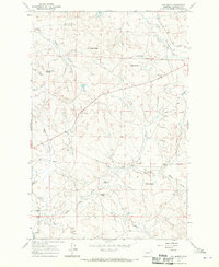 1967 Cox Butte1970 Print · USGSGarfield County ranching country is captured in the late sixties, showing a landscape of high buttes and seasonal coulees. Researchers can locate the isolated Thomas Sch and trace water crossings like Chimney Crossing and the Dry Fork of Lodgepole Creek.
 - 1993 Map of Sand Springs
 1993 Sand Springs1993 Print · USGSEastern Montana ranching and river country are shown here in the early nineties as the region balanced conservation and industry. You can trace family landmarks and drainages from Sand Springs to the Moss Dome Oil Field and the edges of Fort Peck Lake.
 - 2011 Map of Cox Butte, 2011 Print
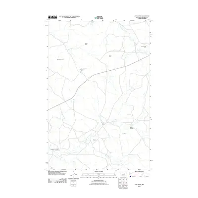 2011 Cox Butte2011 Print · USGSGarfield County ranching country is captured here in the early twenty-first century, showing a landscape defined by isolated buttes and seasonal drainages. Researchers can locate remote landmarks like Chimney Crossing, Waddington Dome, and the Brown Number 3 Dam.
 - 2014 Map of Cox Butte, 2014 Print
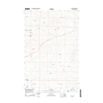 2014 Cox Butte2014 Print · USGSGarfield County in the early twenty-first century reveals a landscape of high buttes and intricate drainage coulees. Researchers can trace the rugged topography of Cox Butte, the namesake landmark, and the remote settlement area at Chimney Crossing.
 - 2017 Map of Cox Butte, 2017 Print
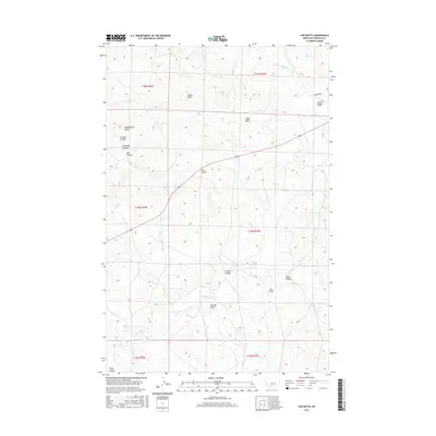 2017 Cox Butte2017 Print · USGSGarfield County rangeland is captured here in the late twenty-tens, showing a landscape defined by its high buttes and complex drainage coulees. Researchers can trace land markers like Cox Butte and Waddington Dome or locate the Sand Springs Strip.
 - 2020 Map of Cox Butte, 2020 Print
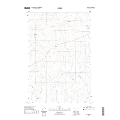 2020 Cox Butte2020 Print · USGSGarfield County's high plains are documented here in the early twenty-first century, showing a landscape shaped by water and wind. Researchers can trace the drainage of Skeleton Cr and locate prominent landmarks like Cox Butte and the Sand Springs Strip.
 - 2024 Map of Cox Butte, 2024 Print
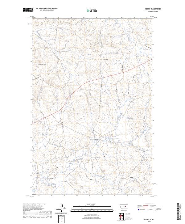 2024 Cox Butte2024 Print · USGSGarfield County ranching country is mapped here in the modern era, revealing a landscape of high buttes and seasonal coulees. Researchers can locate family landholdings near Cox Butte, Waddington Dome, or along the remote Benzien Rd.
End of results
Showing maps 1-11 of 11
Frequently asked questions
- What are the different types of historical maps available for Chimney Crossing?
- What is the oldest map of Chimney Crossing?
- Where can I purchase historical maps of Chimney Crossing for my home or office?
- Where can I download high-res historical maps of Chimney Crossing?
- Are there historical topographic maps available for Chimney Crossing?
- Is there historical aerial imagery available for Chimney Crossing?
- Where are historical maps of Chimney Crossing sourced from?