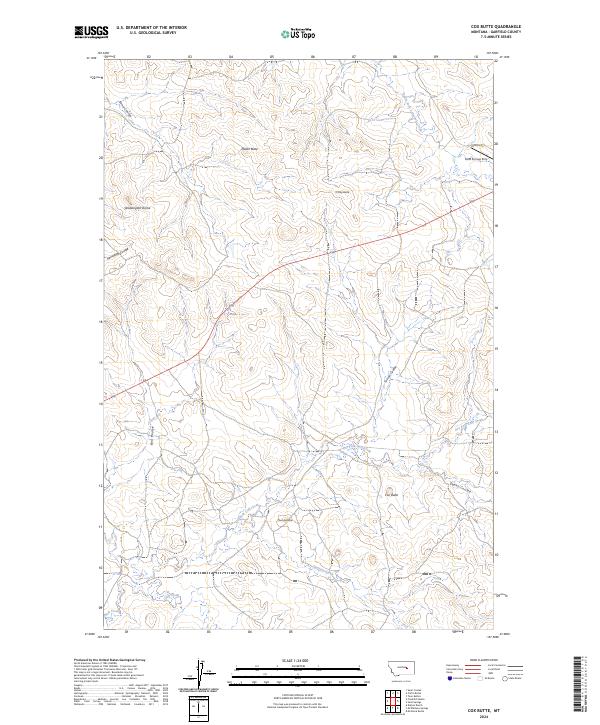
2024 Map of Cox Butte
USGS Topo · Published 2024About this map
Cox Butte and Neiter Butte anchor this high-plains landscape in Garfield County, where the topography is defined by a series of prominent buttes and domes. The drainage network is complex, with deeply incised features like Hensleigh Coulee, Tuccori Coulee, and Bair Coulee carving through the terrain toward Dry Fork Calf Creek and Skeleton Creek. This area of Montana remains sparsely developed, characterized by expansive sections of rangeland and occasional infrastructure like the Sand Springs Strip and Benzien Rd. The survey highlights the intersection of several townships, including t15n r33e and t16n r32e, showing a land still governed by the original Public Land Survey System. The presence of Waddington Dome suggests a distinctive geological character that has long influenced the local cattle and sheep ranching operations that utilize these drainage basins.
Find a feature on this map
23 named features on this map. Tap any name to fly to it.
Don’t see what you’re looking for? This feature index may not catch every label — zoom into the map to look around manually.
Map Details
Editions of this 2024 Cox Butte Map
This is the sole edition of this map. No revisions or reprints were ever made.
Other maps of this area

1954 · Jordan
USGS Topo · 1:250,000

1954 · Forsyth
USGS Topo · 1:250,000

1956 · Jordan
USGS Topo · 1:250,000

1957 · Forsyth
USGS Topo · 1:250,000

1958 · Jordan
USGS Topo · 1:250,000

1958 · Forsyth
USGS Topo · 1:250,000

1963 · Mc Williams Springs
USGS Topo · 1:24,000
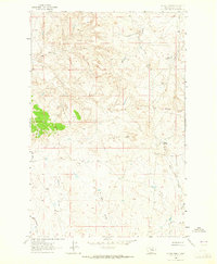
1963 · Dutton Ranch
USGS Topo · 1:24,000

1964 · Jordan
USGS Topo · 1:250,000
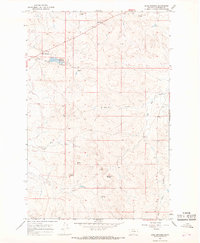
1965 · Sand Springs
USGS Topo · 1:24,000