Old Maps of Haxby, Montana for Hiking & Exploration
Hike through history with 11 historic maps of Haxby. Explore old trails, ghost towns, and forgotten backroads — perfect for outdoor adventurers and local explorers.
- Rediscover forgotten places: Map out old mining camps, roads, and footpaths that no longer exist on modern maps.
- Layer with modern tools: Combine with LiDAR or satellite views to plan hikes through historical terrain.
- Made for exploration: Popular among hikers, overlanders, and local history lovers.
Use these maps to find adventure and explore the hidden past of Haxby.
Haxby, MT maps
(11)- 1954 Map of Jordan, 1965 Print
 1954 Jordan1965 Print · USGSGarfield County in the mid-fifties is a land of expansive ranches and isolated prairie schoolhouses. Researchers can trace rural genealogy and land use through landmarks like Regina School, Robertson Brothers Ranch, and the Charles M Russell National Wildlife Range.2 unique versions available
 - 1956 Map of Jordan
 1956 Jordan1956 Print · USGSCentral Montana ranching country and the massive Missouri River impoundment are captured here in the mid-fifties. Researchers can trace remote homesteading landmarks like Robertson Brothers Ranch and small rural hubs including Jordan, Brusett, and Cohagen.
 - 1958 Map of Jordan
 1958 Jordan1958 Print · USGSGarfield County and the Missouri River country are shown here in the late fifties as the regional geography adjusted to the massive new reservoir. Genealogists and local historians can trace isolated homesteads and numerous rural schoolhouses like Iler School, Brusett, and the Robertson Brothers Ranch.
 - 1964 Map of Jordan
 1964 Jordan1964 Print · USGSGarfield County and the surrounding Montana prairie are captured in the mid-1950s as the Fort Peck Reservoir reshapes the northern landscape. Local historians can trace the locations of rural schoolhouses like South First Creek School and remote ranching outposts such as Brusett and Van Norman.
 - 1972 Map of Norville Creek, 1975 Print
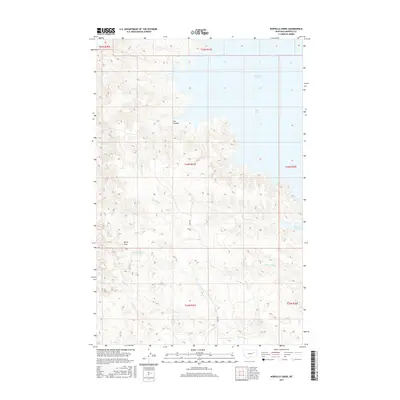
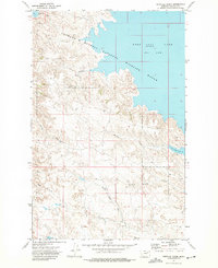 1972 Norville Creek1975 Print · USGSGarfield County in the early seventies shows a landscape defined by the waters of the Fort Peck Lake reservoir and its surrounding wildlife range. Researchers can trace the drainage patterns of Norville Creek or locate isolated landmarks like the Landing Strip and Drill Hole.
 - 1978 Map of Fort Peck Lake East
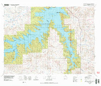 1978 Fort Peck Lake East1978 Print · USGSGarfield County, Montana, is shown here during the late 1970s as the rising waters of Fort Peck Lake reshaped the Missouri River breaks. Genealogists and local researchers can trace family-named sites like Collins Ranch, Keister School, and Rodgers Hall.2 unique versions available
 - 2011 Map of Norville Creek, 2011 Print
 2011 Norville Creek2011 Print · USGSCovers Haxby, including Garfield County, United States, and other nearby areas
 - 2014 Map of Norville Creek, 2014 Print
 2014 Norville Creek2014 Print · USGSCovers Haxby, including Garfield County, United States, and other nearby areas
 - 2017 Map of Norville Creek, 2017 Print
 2017 Norville Creek2017 Print · USGSCovers Haxby, including Garfield County, United States, and other nearby areas
 - 2020 Map of Norville Creek, 2020 Print
 2020 Norville Creek2020 Print · USGSCovers Haxby, including Garfield County, United States, and other nearby areas
 - 2024 Map of Norville Creek, 2024 Print
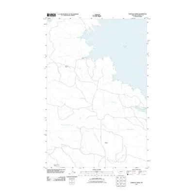
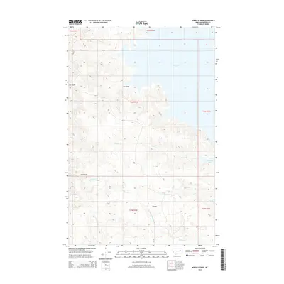
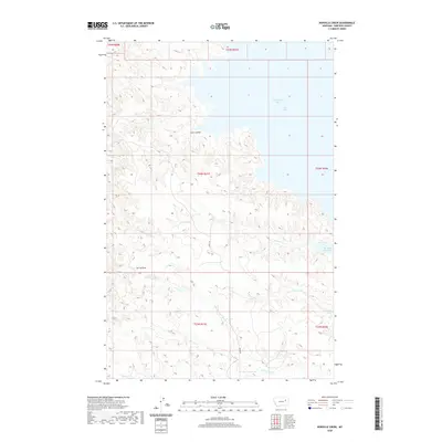
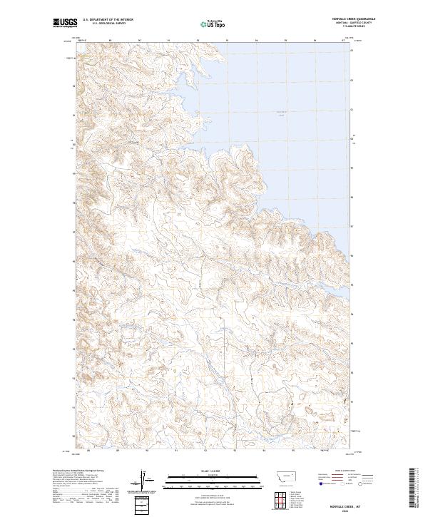 2024 Norville Creek2024 Print · USGSGarfield County's remote breaks and reservoir shoreline are captured in this recent survey of the Missouri River country. Researchers can trace the winding drainages of Norville Creek and Dawson Creek as they cut through the Charles M Russell National Wildlife Refuge.
End of results
Showing maps 1-11 of 11
Frequently asked questions
- What are the different types of historical maps available for Haxby?
- What is the oldest map of Haxby?
- Where can I purchase historical maps of Haxby for my home or office?
- Where can I download high-res historical maps of Haxby?
- Are there historical topographic maps available for Haxby?
- Is there historical aerial imagery available for Haxby?
- Where are historical maps of Haxby sourced from?